|
It was another bright, sunny, warm fall day as we prepared for the hike in the nearly empty
trailhead parking lot. In fact, there were only 2 other cars in the lot. I've never seen
a mention of Shealor Lake in a guide book (or at least I never noticed it), and the map of
South Lake Tahoe I usually use doesn't even show a trail to the lake. I was a bit surprised
that the parking lot was so large (enough for 20-30 cars), and not all that surprised that
it was nearly empty in late October.
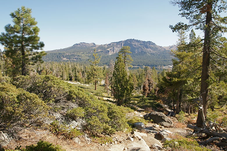
The trail starts off in the forest, climbing, though not quite as steep as the trail to Granite Lake.
Still, it climbs over 200 feet in about four-tenths of a mile. As it climbs, the trail
provides views of Silver Lake below and Thunder Mountain above it. The trail starts to become
harder to follow, as the trail turns rocky and is denoted by small rock stacks.
View looking east from the trail
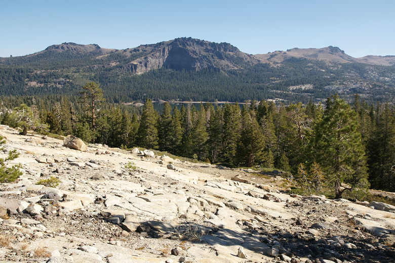
View of mountains above Silver Lake from the plateau
Soon enough we reached the plateau, with great unobstructed views of Silver Lake. The top must
be about a football field in length from one side to the other. We walked across the top in
under a minute, being rewarded with yet more views
on the other side, looking west across mountains and forest as far as the eye could see.
After enjoying the views, we started our descent toward Shealor Lake. This westward-facing slope
apparently is buffeted by high winds, if the tortured trees are any indication. It also has
much fewer trees compared to the dense forest on the side we'd just come up.
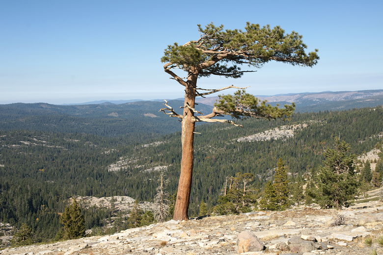
Tortured pine tree on western slope
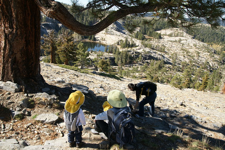
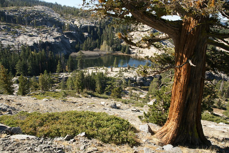
Resting above Shealor Lake
From here on out, the trail is completely rocky. Just follow the small rock stacks placed here
and there. We shortly got our first glimpse of Shealor Lake below, still more than half a mile
away and 400 feet below us. We followed the switchbacking trail downhill. Then we passed through
a small forest and reached the rocky shore of beautiful Shealor Lake situated at about 7250 feet
elevation.
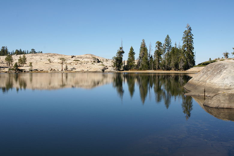
Shealor Lake
Shealor Lake reflection
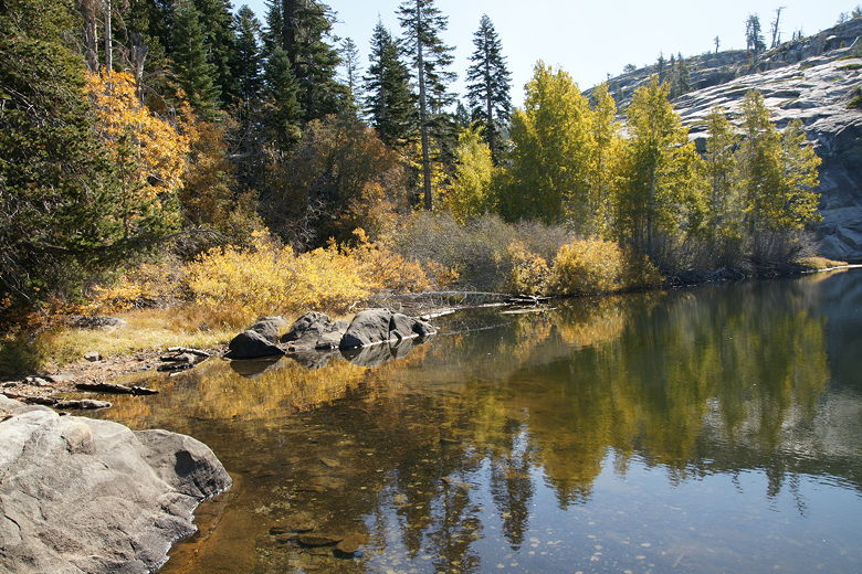
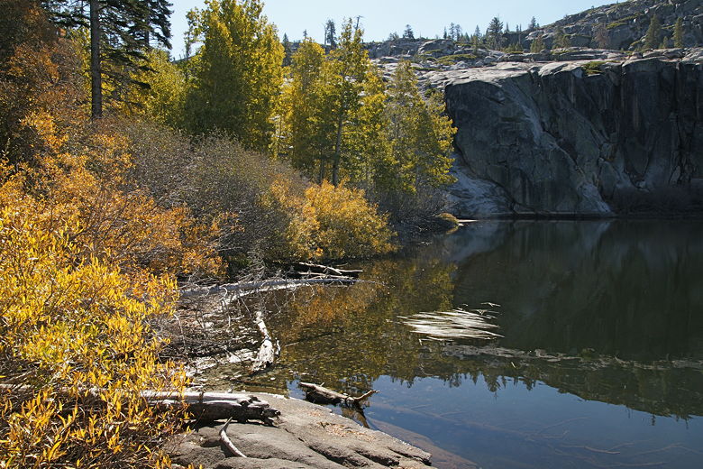
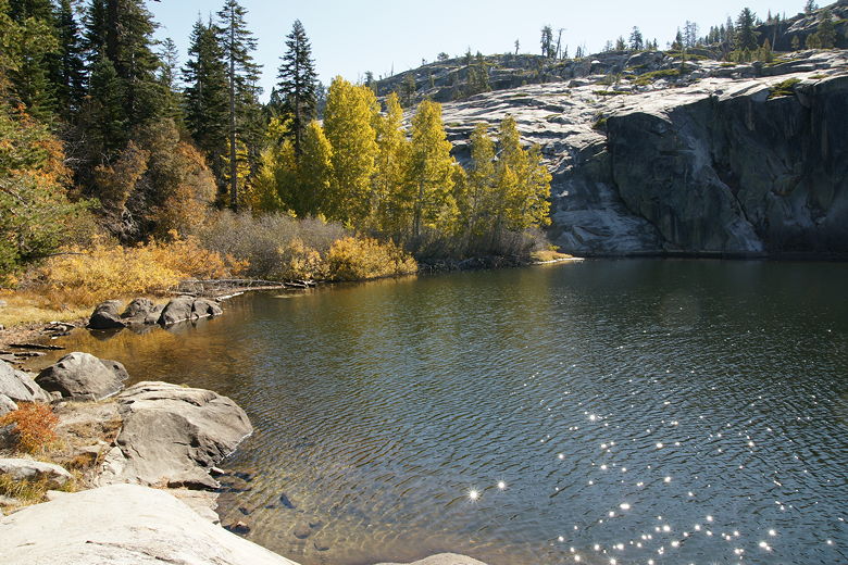
Some fall color on the eastern shore
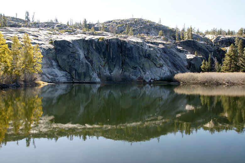
The lake shore is rocky most of the way around, with small bits of conifer forest here and there.
There are also some deciduous trees and bushes on the southern and eastern shores. Some aspens
were still yellow, although most on the southern shore were almost bare. A steep granite face,
looking like a glacier, rises up from the southern shore.
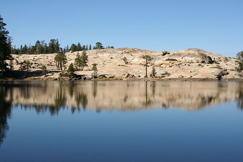
Shealor Lake
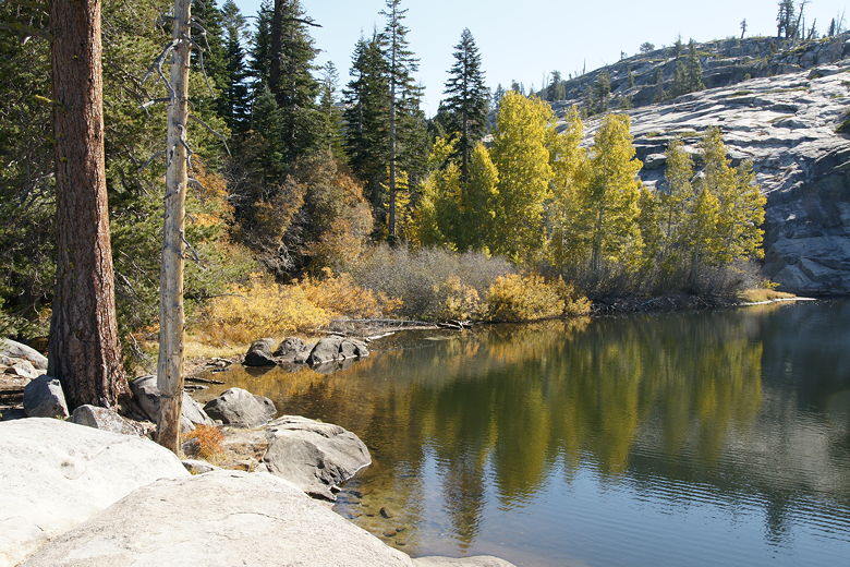
More fall color at Shealor Lake
Western shore of Shealor Lake
Reflection of western shore
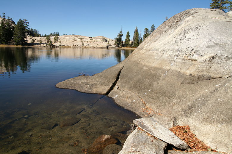
Shealor Lake is a beautiful setting. It was made even better by the fact that we had it mostly to
ourselves. We didn't see anyone else at the lake for the first half hour we were there, and only
one other group after that. In fact we only saw about 10 people on the entire hike. We enjoyed
the lake for quite some time before starting back. There is actually a smaller lake to the
west of the larger Shealor Lake, but it appeared to be dry when we viewed it from the trail on
our descent. So we didn't spend the time to hike to it.
Eastern shore of Shealor Lake
Sun reflecting on Shealor Lake; I got some great starburst patterns
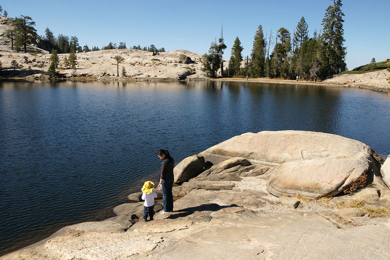
Judy and Jared at shore
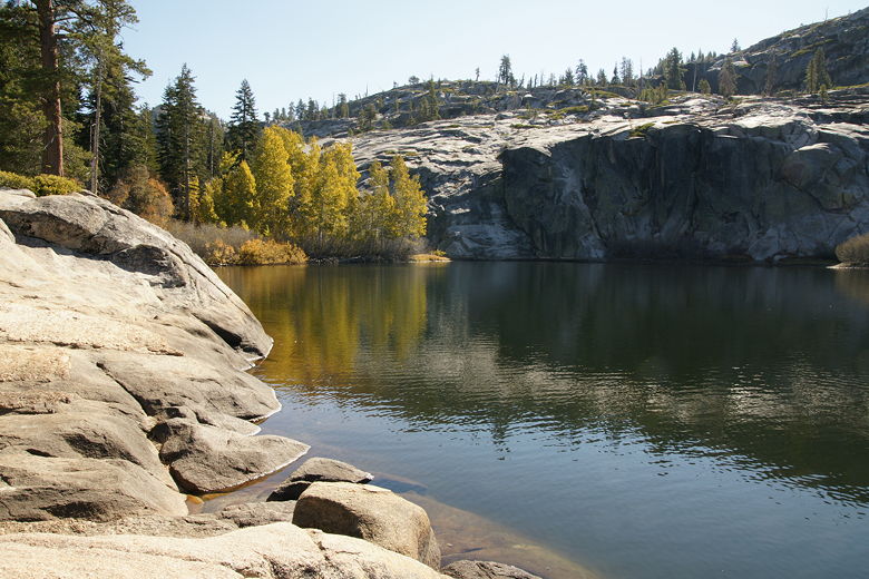
Yet another view of Shealor Lake
We now had to hike back up to the plateau that we'd descended from. We did so, then descended
down the other side back to the parking lot. While the views on this hike were not quite as
good as on the Granite Lake hike, the destination was much better. While I rate both an 8, I'd have
to give Shealor Lake the edge because of the lack of company. It also looks like a great place
for a short backpacking trip. There were established camp sites in the forest next to it.
Permits are required, but it doesn't appear they are hard to get (contact the ranger's office).
Perhaps we will return next year for an extended stay.
| 

