|
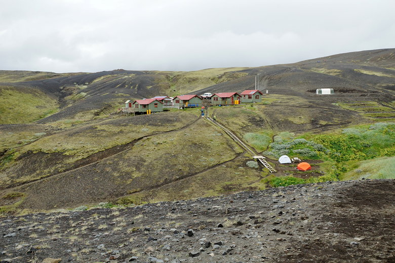
Pretty much everyone in the hut woke up around 7am. After breakfast,
we were off a little after 8:30am. It was still windy, but not
nearly as bad as the day before. Also, there was no rain yet.
After passing the tent camping area, we climbed up to display.
I took a picture without reading it, figuring it probably explained
the geology or history of the area and I'd read it later. It was
only after I returned home that I saw that it mapped out
escape routes in the event the volcano erupted!
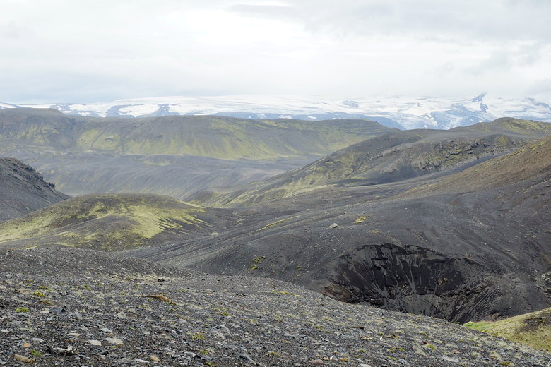
So instead of fretting over that possibility, we just
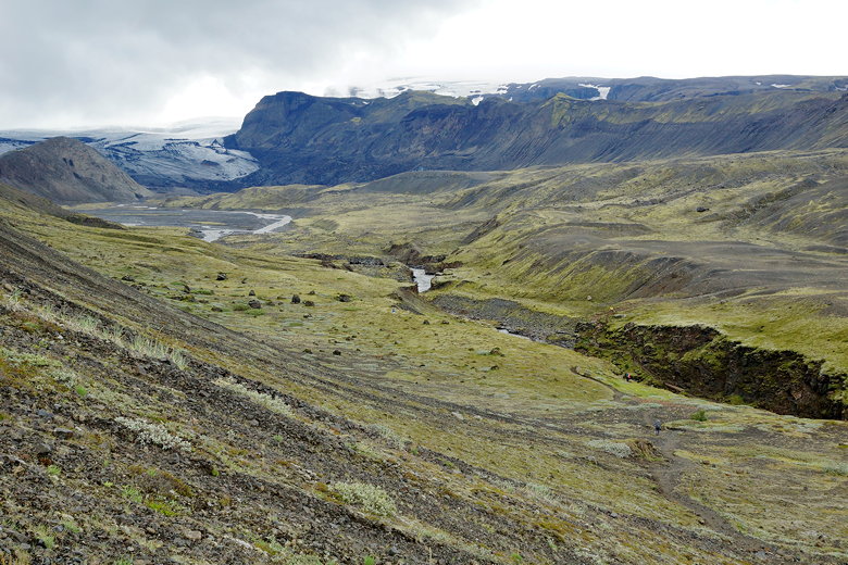
enjoyed the views of the surrounding hillsides
and what I think was the Tindfjallajokull glacier to the west
(though I'm not entirely sure).
View from the sign
Looking back at Emstrur Hut
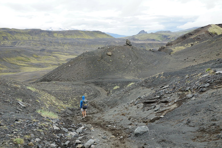
Starting the trail
Mountain view
Descending to Fremri-Emstruá
Descending to Fremri-Emstruá
Fremri-Emstruá
Glacier feeding the Fremri-Emstruá
Fremri-Emstruá valley
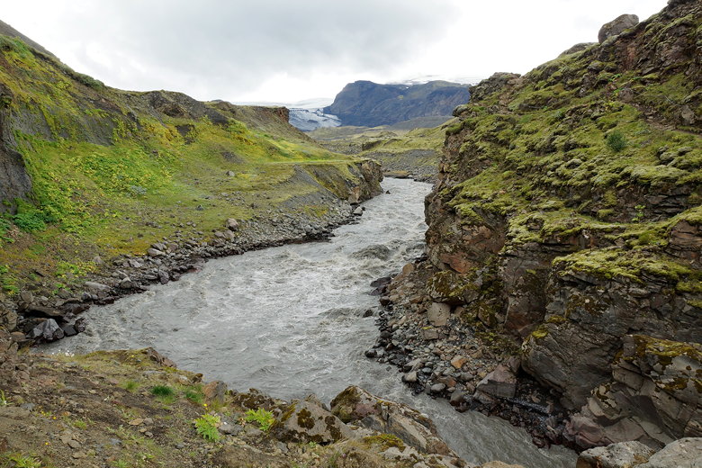
Fremri-Emstruá
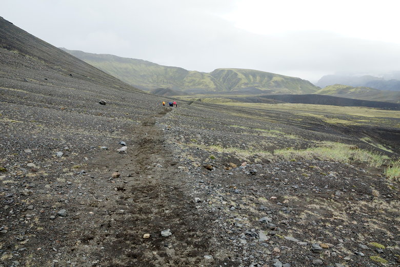
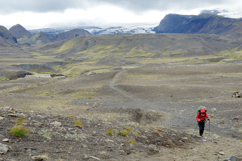
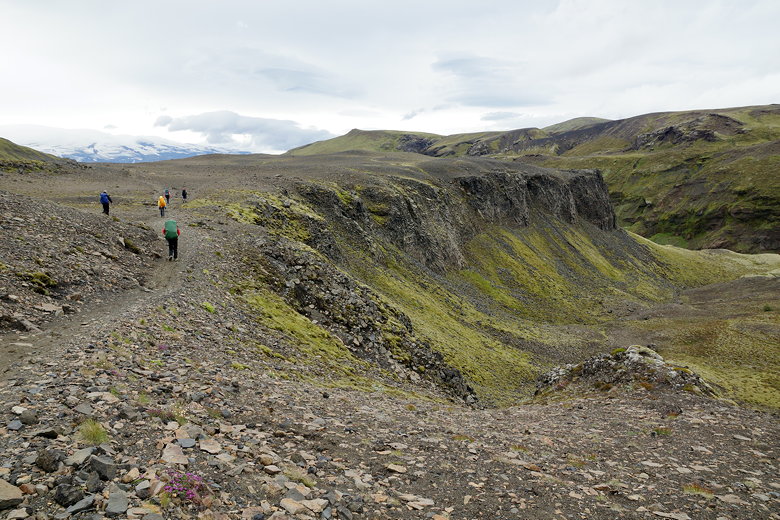
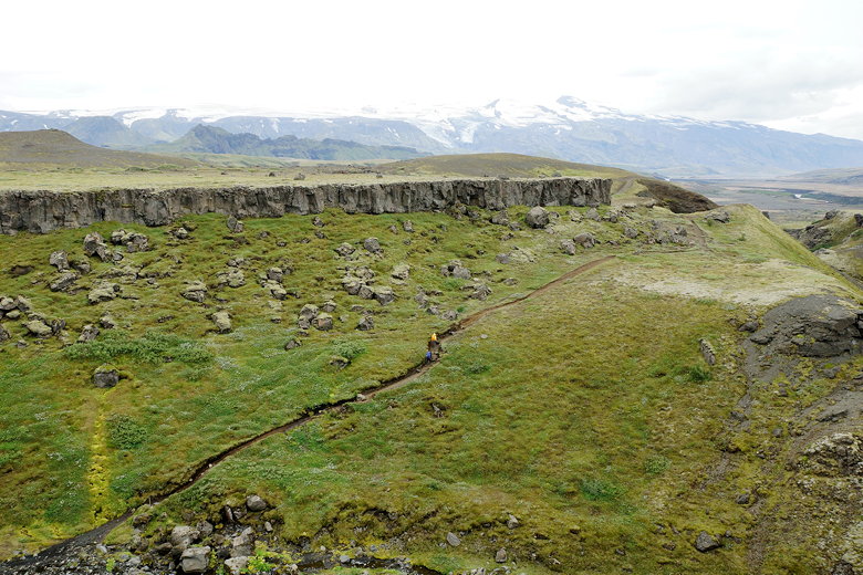
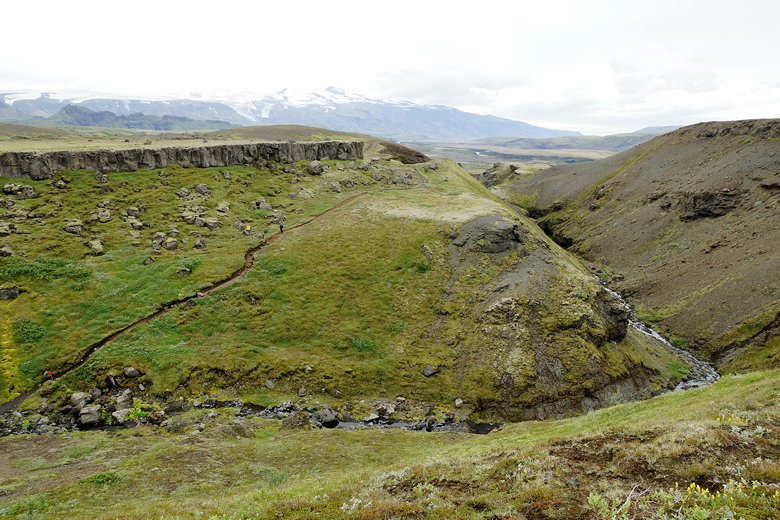
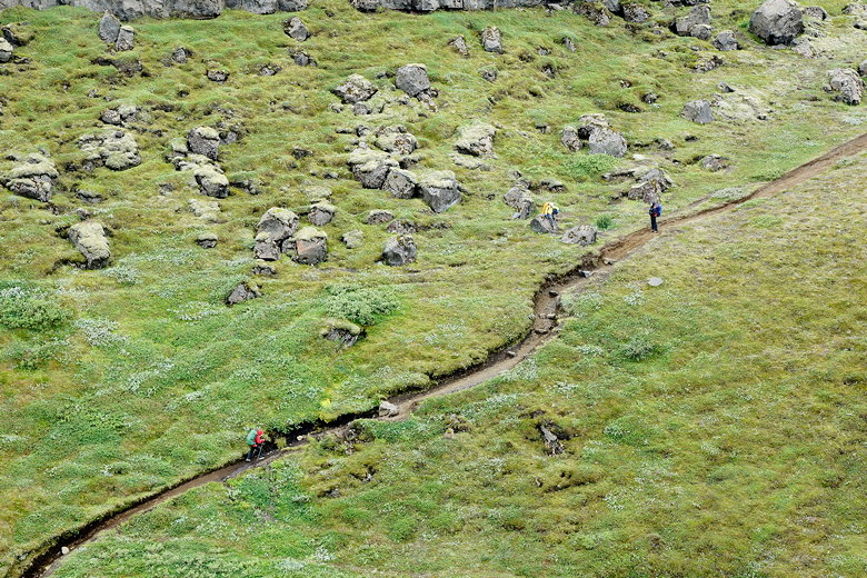
After mostly flat walking, we started a descent. After
a steep descent down sandy terrain, we reached a foot bridge
over a creek, with the Entujokull finger glacier looming to
the east.
Bridge over Fremri-Emstruá (Photo credit: Nathan Gong)
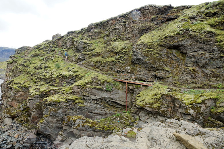
Metal crossing near Fremri-Emstruá
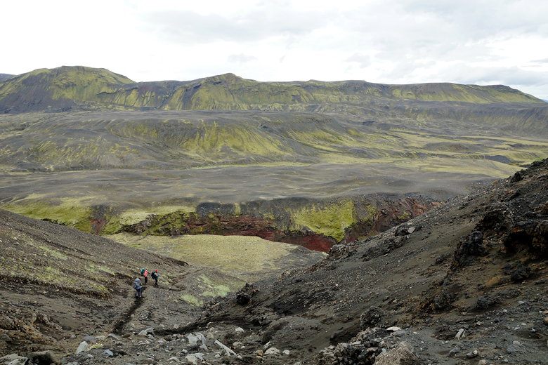
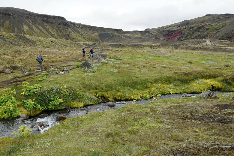
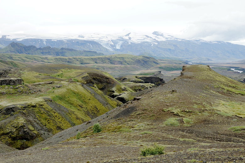
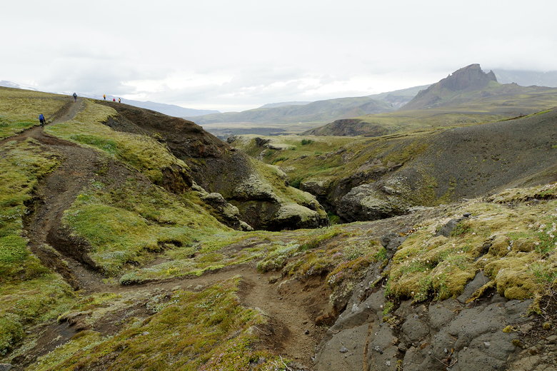
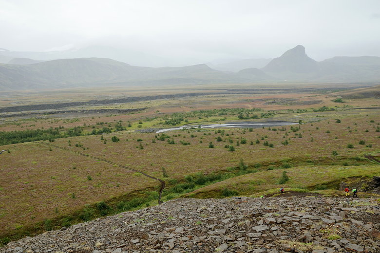
After crossing the creek, the trail continues over mostly flat or
descending easy terrain. This goes on for a while, with wide
open spaces and the creek flowing along on our right.
Hiking up to the plateau
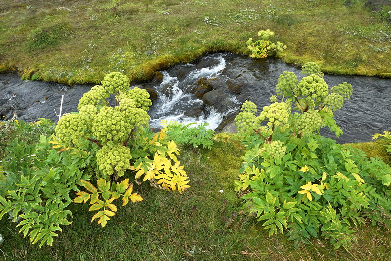
Plants and stream
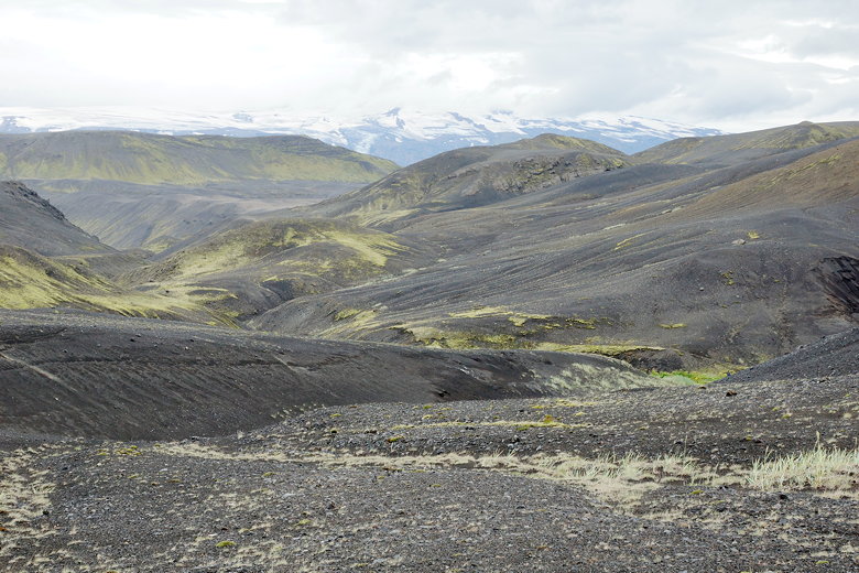
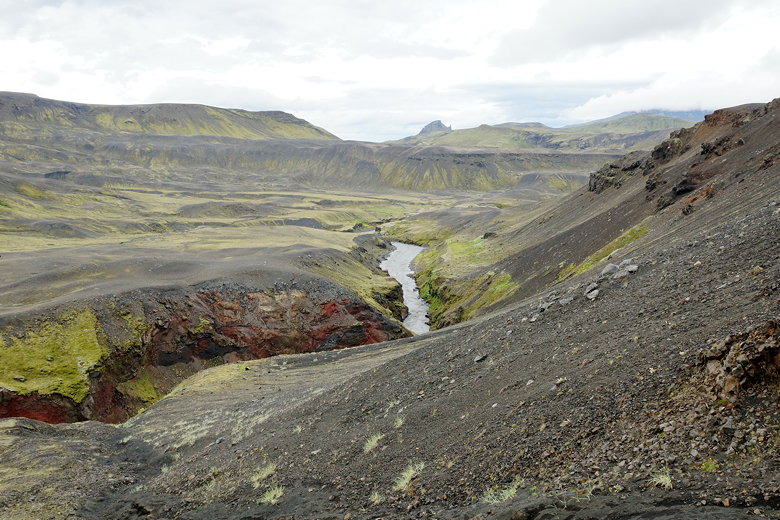
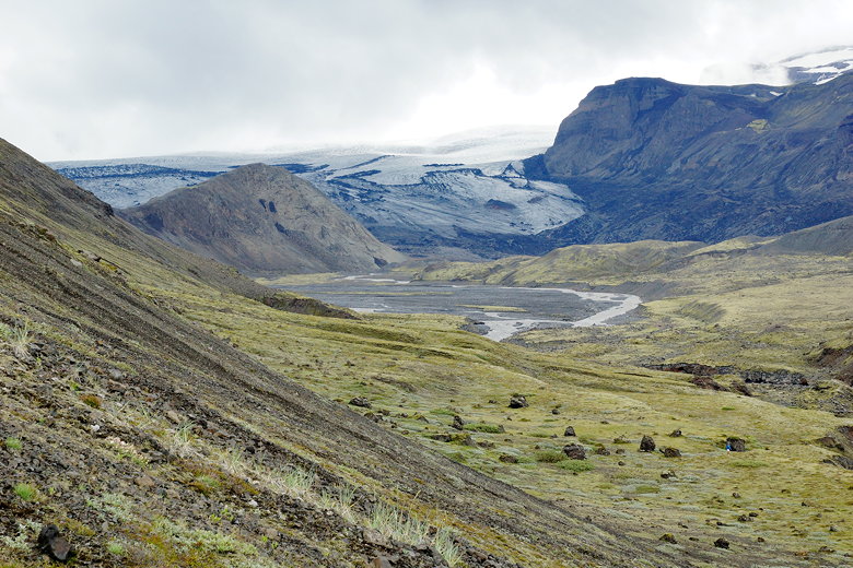
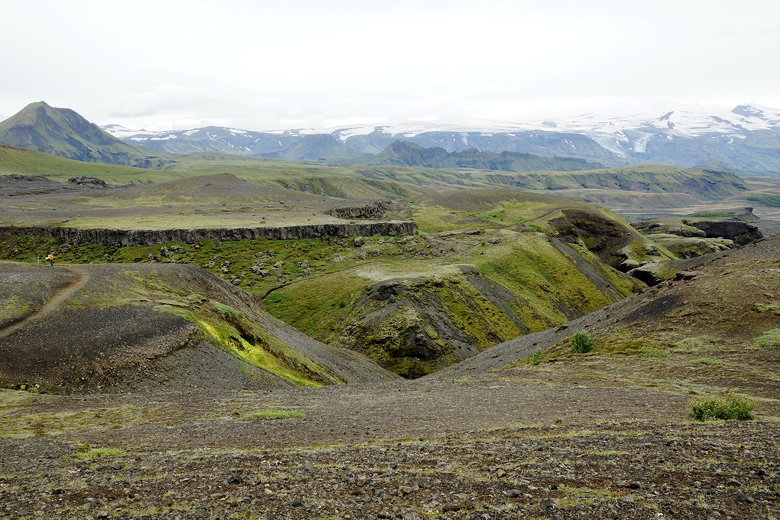
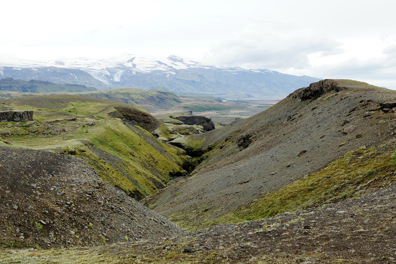
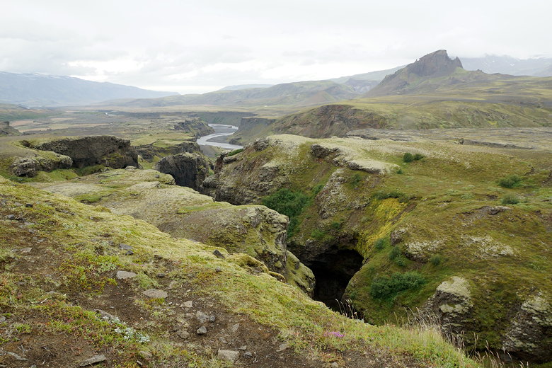
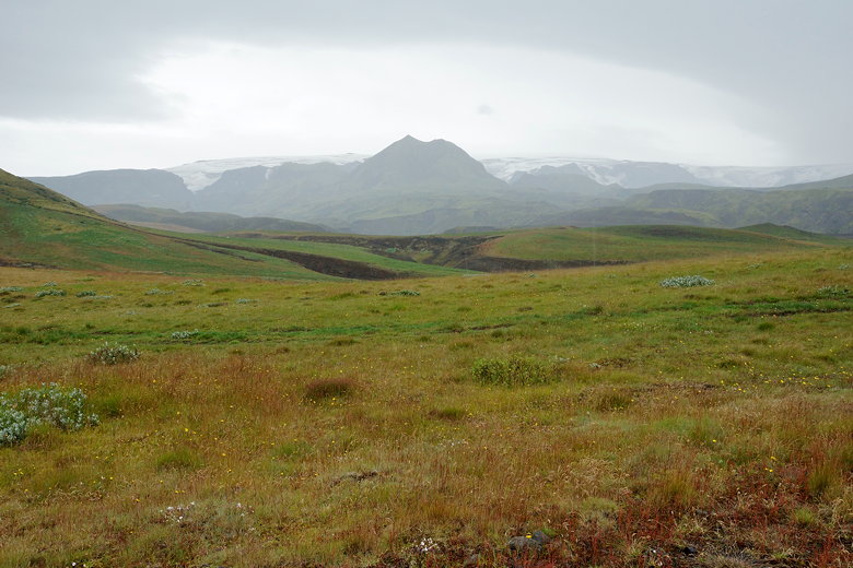
After a climb up to a pass, we had nice views back to the glacier,
and also of a canyon. We stopped here for a brief snack break,
then continued again on mostly flat terrain. The canyon was
visible on our right most of the time. Two of the people we'd
met in the hut took a closer look and told us there were sheep
down in the canyon.
Looking back at the glacier
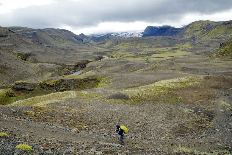
Looking back at the glacier
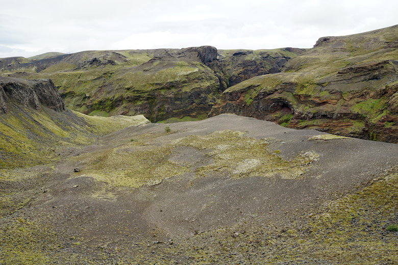
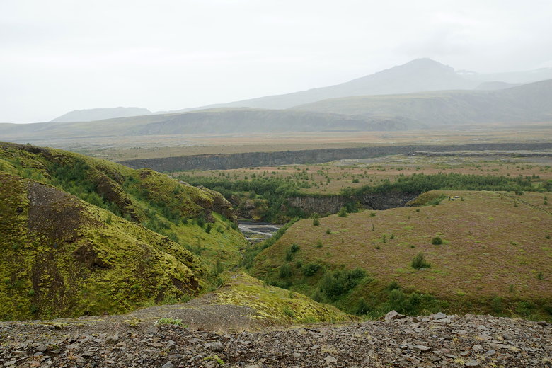
Markarfljót canyon
Hiking next to the canyon
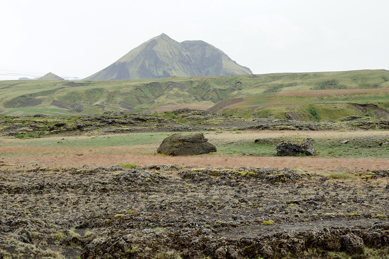
View of the mountains
On the trail
Mountain view
Mountain view
Climbing up the trail
Climbing up the trail
Climbing up the trail
Hiking next to the canyon
Markarfljót canyon
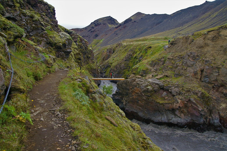
We rock-hopped a creek where others were stopped for lunch,
then climbed up the other side as a light drizzle started to
fall. The drizzle continued as we continued along. We knew
one more creek crossing awaited us. We reached a tough-looking
creek, only to find that there was a foot bridge over it.
What was more surprising was that there were trees near the bridge,
probably the first trees we'd seen on the hike so far.
View to the left
Descending to Ljósá bridge crossing
At this point, the rain became more persistent. We climbed up
from the bridge, seeing some sheep on the hillsides. There
was an arctic fox, as well, though I wasn't quick enough with the
camera to get a picture.
As the rain fell, a pretty picture of sheep backed by mountains
emerged. I felt compelled to bring out my camera despite the
rain to take some pictures. And just when I was about to put
my camera away, they came closer and crossed the trail near
me. Eventually I put the camera away, and it stayed put away
for the rest of the hike.
Looking back after the crossing
Mountain view
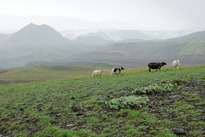
Sheep on the hills

Sheep on the hills

Sheep on the hills
We descended down to the final creek crossing. Of course it
was raining (as it was during all creek crossings so far),
and harder than before. The crossing itself was also the
toughest of the trip. The water was deeper than the others,
and also very wide. At one point I felt compelled to
hold Jared's hand as we crossed the deepest section. Of
course I was the one who stumbled on some unseen rocks under foot,
but I managed to steady myself without pulling Jared down.
We made it to the other side and put our boots back on.
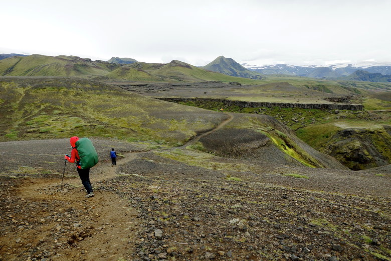
From here, we were almost done for the day. The trail follows
a dirt road. We soon came to an intersection. To the left was the trail to
the Langidalur hut. We took the right fork to the Volcano huts.
We continued along the trail, then came to another trail intersection.
To the left is another trail to the Langidalur hut. We took the right
fork again, and soon reached the Volcano huts. It was about 3pm,
and we saw a bus waiting to leave. I wasn't sure if Anton or his
daughter were on this bus (he said he'd be here for the 2pm bus).
Someone appeared to wave at us, but I was too far away to tell for sure.
You can tent camp at the Volcano huts, or rent a yurt. We were
renting a cottage (basically, a private cabin) for 2 nights.
This is because I hadn't been
able to book the Baldvinsskáli for the next night. So we essentially
had a forced rest day. Since I didn't think camping in a tent
was a great option, the only other alternative would have been to
hike the entire way to Skógar in one day. While others we'd met
at the Emstrur hut were doing just that, I didn't think my
family would appreciate that (it'd be about 18 miles with 3000 feet
of climbing). [Side note: The Baldvinsskáli hut used to only be
available for day use, but it recently become available for
overnight stays as well.]
I have to say I was a little disappointed with the Volcano huts.
The cottage was very primitive, with torn sheets over flimsy mats
on the bunk beds (you're supposed to provide your own sleeping bag
or blankets). The shower door got stuck and my son cut his leg
climbing out of it. The lunch and dinner were not up to par.
Also, the next day we'd ask them to save some hamburgers for us;
they said we could come back at 6pm for them, and when we did,
they said we couldn't have them. But at least we could dry
ourselves off and rest before the rest of the hike to Skógar.
| 

