|
Jennie, Lan and I hiked in El Corte de Madera Creek Open Space
Preserve.
We parked our cars at Skeggs Point on Skyline Blvd. (between Highway
84 and Kings Mountain Road). As we prepared for our hike, we noticed
it was filled with mountain bikers. Almost all of El Corte de
Madera Creek's trails are open to bikes.
It was warm and sunny as we started our hike across the road (and
a little bit north up Skyline). We started on the El Corte de
Madera Creek Trail. It's a fire trail, as almost all of the trails
are. It descends downhill 0.7 miles before reaching a bridge on
the left. To our right was a fence and sign signifying "not a
trail." There have been problems with rogue cyclists and others
who create unauthorized trail. Park staff have had to erect several
"not a trail" signs throughout the park.
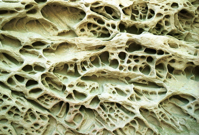
Sandstone formation

Sandstone formation close-up
We climbed briefly -- this part is rolling hills. Trees shaded
almost the entire hike, keeping us relatively cool. 2.7 miles
into the hike we reached the sandstone formation. Two large rocks
jut out from the ground here. They're riddled with huecos in some
of the most fascinating patterns I've seen. A few other curious
onlookers enjoyed the sights while we were there. After a break
for lunch and enjoying the rocks, we continued on our way.
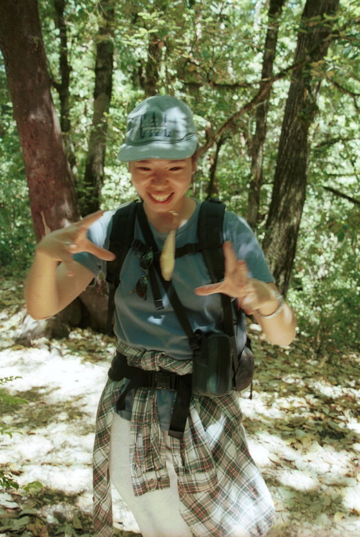
Jennie with the magic floating leaf
We shortly came to a signed vista point. Unfortunately, the vista
left a little to the imagination. There were some views to the
southwest of rolling golden hills. However, the view to the west
was blocked by high bushes. It was a bit of a disappointment.
We continued along some very steep downhills, during which I was
very thankful for my trekking poles. A daring cyclist ripped downhill,
but his friend decided to walk instead. We encountered at least
15-20 cyclists during the day (this is probably a conservative
estimate). On the other hand, we only met a handful of hikers
-- most of them at the sandstone formation.
We didn't see any giant salamanders on the Giant Salamander Trail.
But the next highlight of the hike was an old growth redwood.
It's a short side-trail which says "not a through trail." The
tree isn't signed, but it's obvious. It's flanked by two relatively
tall trees, but its girth is huge compared to them. It's more
like a sequoia than a redwood, in that sense.
After leaving the Gordon Mill Trail, we proceeded to make a series
of rapid turns, including one short stretch of trail which may
be the steepest trail I've ever hiked on. I wouldn't be surprised
if it's more than a 30% grade. Fortunately, it's short.
The preserve is criss-crossed with trails touching every part
of the park, and we touched most of them. We soon found ourselves
on the Manzanita Trail, which is very different from the redwoods
and ferns of much of the rest of the park. Instead, there were
(of course) manzanita trees. Instead of being under the shade
of forest, we were out in the open surrounded by short bushes.
The sun wasn't beating down on us, though. The trail was cooled
by breezes and covered with a low-hanging mist as fog rolled through
the area.
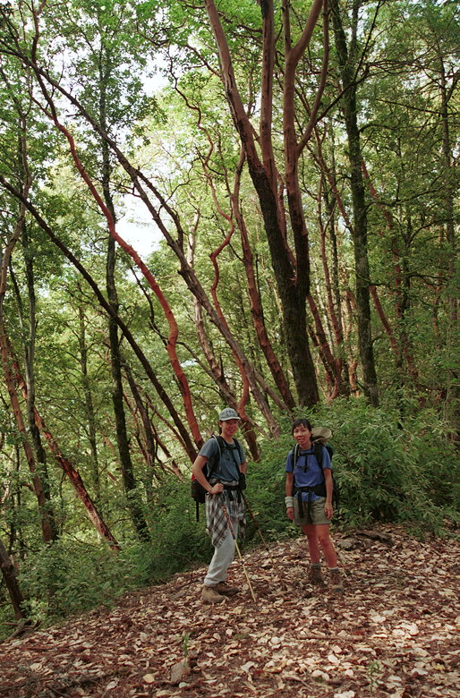
Jennie and Lan in front of some manzanitas (I think)
As we went from the Manzanita Trail to the Fir Trail, we saw some
very large manzanita trees. At least I think they're manzanita.
They might be madrone, but I'm not sure.
Around the corner we encountered 3 or 4 cyclists who were racing
around a blind turn at about 30 mph. They were going much too
fast given that it was a blind turn -- they could very easily
have caused a serious accident. As we approached the end of the
hike, we saw a ranger parked in his pickup just outside the gate.
He pointed something at us, and I realized it must be a radar
gun. Behind us were several cyclists descending, and they received
a warning from the ranger for going too fast. The park speed limit
is 15 mph for bikes, and 5 mph when passing or on blind turns.
They write that radar is used to enforce these limits, and they're
obviously not kidding.
| 

