|
We started off on the trail at about 1pm. The trail
crosses a creek and begins climbing through the forest immediately.
We could see horseback riders going along the trail toward Big Meadows. Although
we would later see evidence of horses, we wouldn't see any horses the rest of the
trip.
After a short climb we reached the main trail which starts from Big Meadows.
Our spur trail was marked by a big leafy tree branch placed on the ground -- as
if signifying that what we were just on wasn't a trail. We made a mental note
to look for this tree on the right on the way back, lest we find ourselves at
Big Meadows,
2 miles from our car.
We passed tiny Fox Meadow and continued uphill, eventually arriving at a trail
intersection 0.7 miles (and 25 minutes) from the parking lot. The fork to the left
goes to Weaver Lake, and the fork to the right goes to Jennie Lake. We'd take
the right fork, but first we enjoyed the small creek running past us.
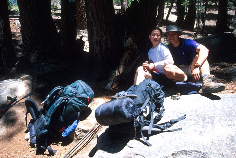
Resting at the trail intersection
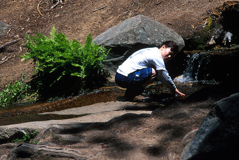
Jean washing her hands in the small stream
We only encountered a few hikers on the trail that day. There were 3 hikers near the
intersection with Weaver Lake, and we'd run into 3 other hikers and a couple backpackers
later in the day.
The trail continues uphill, mostly under cover of forest. We could see occasional
remnants of the alien-looking red snowplant. On our left we passed by Poison Meadow,
much larger than Fox Meadow. The trail flattens out a bit at this point, but then
resumes climbing soon afterwards.
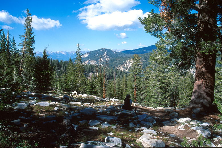
As we climbed out into the open, we could see scattered wildflowers. Indian paintbrush
is one of the few flowers I can easily identify, and I saw lots of those. Butterflies
fluttered near the flowers. Wonderful views opened up toward the west. We found a nice
spot with a view to break for a late lunch.
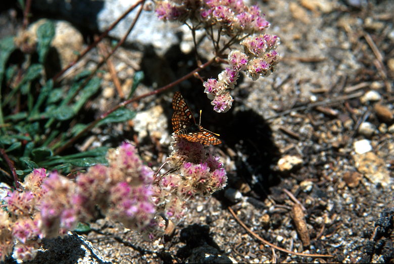
Butterfly
Shortly after lunch we began a short descent. At this point I could see our immediate
objective -- Poop Out Pass. I wasn't going to tell Jean, though, since I figured
she might be intimidated. It looked really far and high, but it really wasn't that
bad. An hour and a half later, after winding our way up through the forest, we passed
over the broad flat top of the pass.
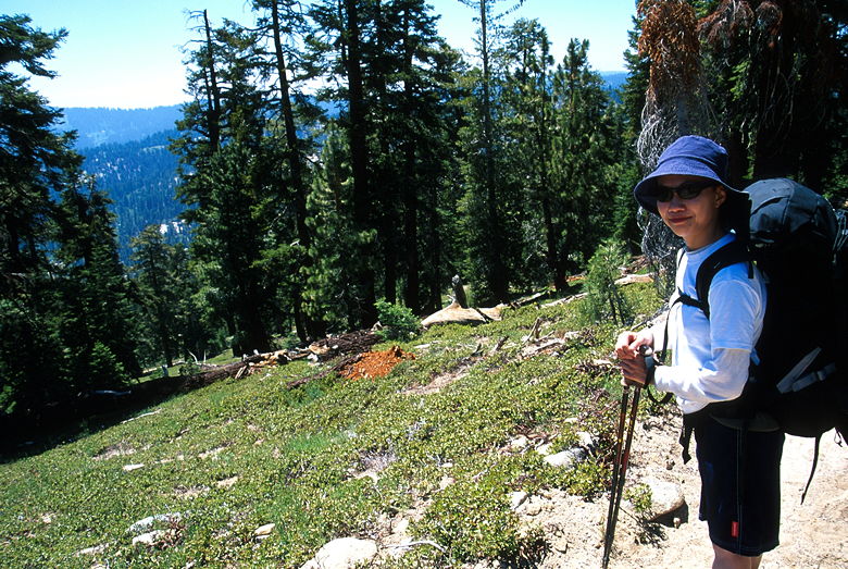
The view looking west before we turned toward Poop Out Pass
On the other side of the pass, we had more great views of distant mountain ranges to the
north and east. After briefly enjoying the views, we started a steep descent over
very rocky terrain. One book described this section of the trail with what can only
be described as disdain, and I
don't blame them much. Still, this section of trail is very short, and really doesn't
detract from the whole experience.
The view from Poop Out Pass
The trail levels out and then begins a gradual climb as it curves around to the right.
I knew that the lake was backed by a wall of granite, and all we could see on the
right was granite. We were close. About 50 minutes after going over Poop Out Pass,
we reached the lake.
There were lots of people already there. We asked for suggestions on where to camp, and
they pointed in both directions. We settled on the quieter eastern side of the lake,
where there was only one other group. On the contrary, there were over a dozen tents
pitched on the southern side of the lake. The lake itself shimmered in the afternoon
sun, backed by a huge curving wall of granite on the south and west side of the lake.
It was a beautiful sight.
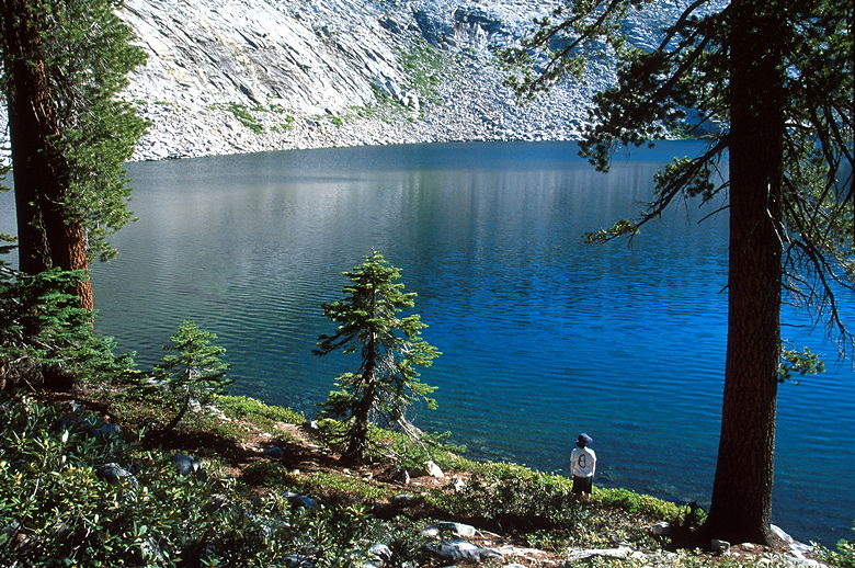
Jennie Lake
After setting up camp near the outlet stream, we went to the lake shore and washed
up. Brrr. The water was cold, but it was nice to clean up after camping for 2 nights.
Afterwards, I found a nice spot on an L-shaped rock along the shore to filter water.
Filtering water takes a lot of patience, but with the beautiful scenery I really didn't
mind. While I was there I heard people across the shore saying that they'd caught
a fish. I didn't see any fish in the water near me, but I did see them jump out
of the lake once in a while. And there was a fishing hook hanging from the tree
above me, out of reach.
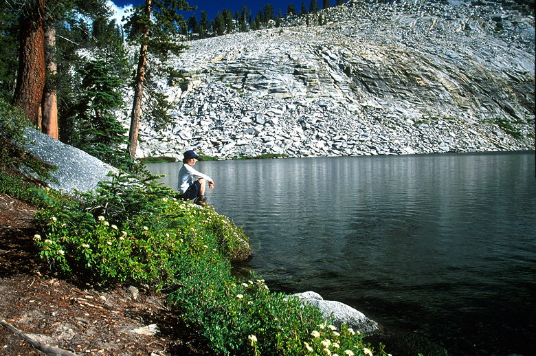
Eastern shore of Jennie Lake
Jean and I quickly decided that we liked the lake so much, we'd stay there for two
nights as opposed to doing a loop hike. We'd relax the second day, perhaps hiking to
the top of the peak behind the lake, which according to my topo map was only 600 feet
above the lake's surface (the lake sits at 9012 feet elevation).
Dinner consisted of MSR couscous and some fresh vegetables Jean had carried. It
was good, but since we'd only hiked 5.2 miles that day, we ended up with a few
leftovers, which we buried far from camp. In retrospect, we should have packed out
the food trash with us, but it seemed like the right thing to do at the time.
We took no chances with our remaining food,
keeping it in a bear canister I'd brought along. Easier and probably more reliable
than hanging food.
One of the nice things about the new MSR meals is that the packaging is burnable.
It's all paper. Campfires are allowed in the Jennie Lakes Wilderness. You do need
a permit, which we'd received from the ranger at Grant Grove. We hadn't planned to
make a campfire, but we needed one even to use our backpacking stove. Once we were
at camp, though, the ashes set amongst a circle of rocks beckoned to us. I made one
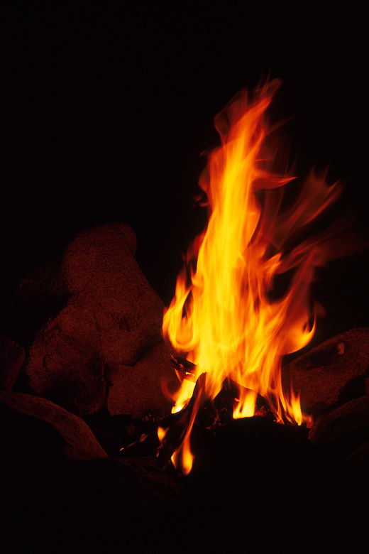
feeble attempt at making a fire which quickly died out. Jean then made a teepee
with some small twigs and she was on her way to creating an inferno.
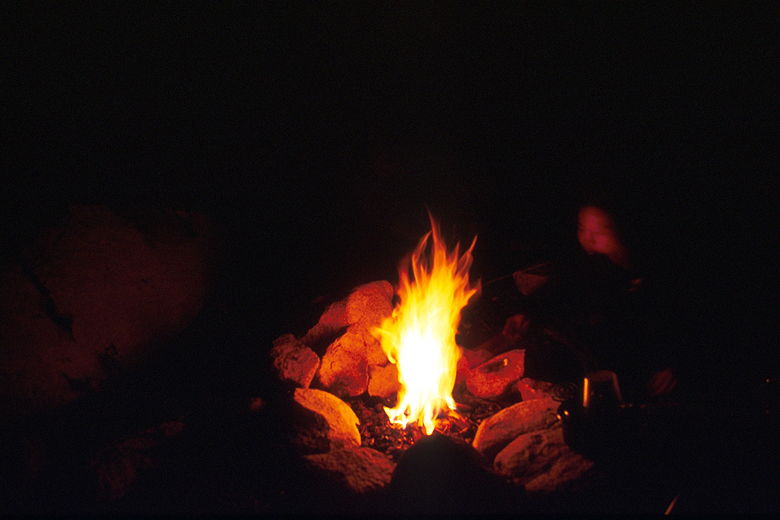
Jean tending to the fire
We enjoyed the warmth of our campfire and could look up and see the stars and look
across the lake and see other groups with campfires. There were lots of people,
but very few actually anywhere near us, and they weren't close enough to bother us
at all. It still seemed like we almost had the place to ourselves.
Our personal heater
That night I measured our blood oxygen saturation again. This time, I was at 88%
and Jean was at 81%.
| 

