|
We started our hike under sunny skies at about 10:30am. Two climbers
were in the parking lot getting ready for a climb up to the summit.
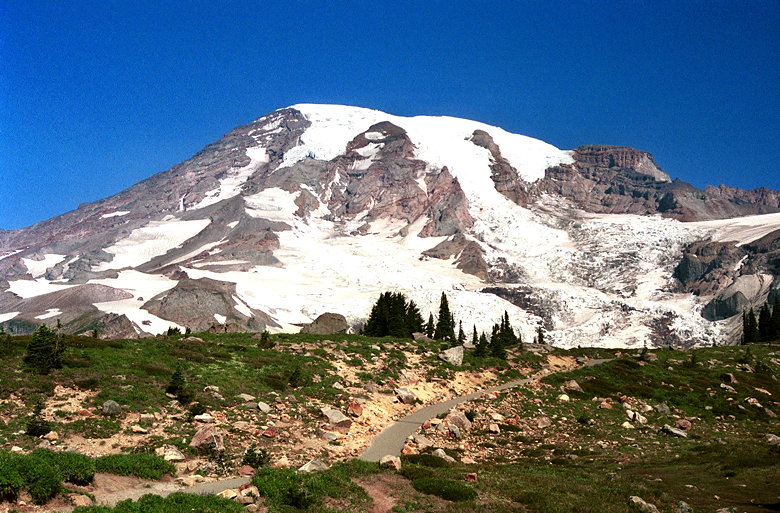
Mt. Rainier towers over the paved Skyline Trail
The first half mile of the trail is paved, but it's also very
steep. There are no switchbacks to lessen the pain. There are
green trees here, but as we climbed higher they disappeared to
be replaced by short grasses. Beyond about 6000 feet elevation,
the grasses disappeared, too.
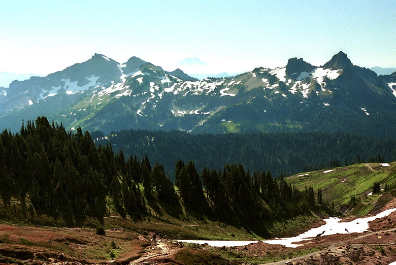
Tatoosh Range to the south
We took the Glacier Vista side trail, crossing over snow patches
in the process. The snow here is relatively soft, with steps carved
into it from constant use. It was easy to navigate using our trekking
poles -- much better than the snow at Glacier Meadows in Olympic
National Park. The trail climbs to a viewpoint where the Nisqually
Glacier is clearly visible. It's heavily crevassed, with lots
of rocks and dirt and mud lower on the glacier. Small streams
rush out from underneath melting snow near the bottom.
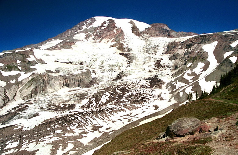
Nisqually Glacier
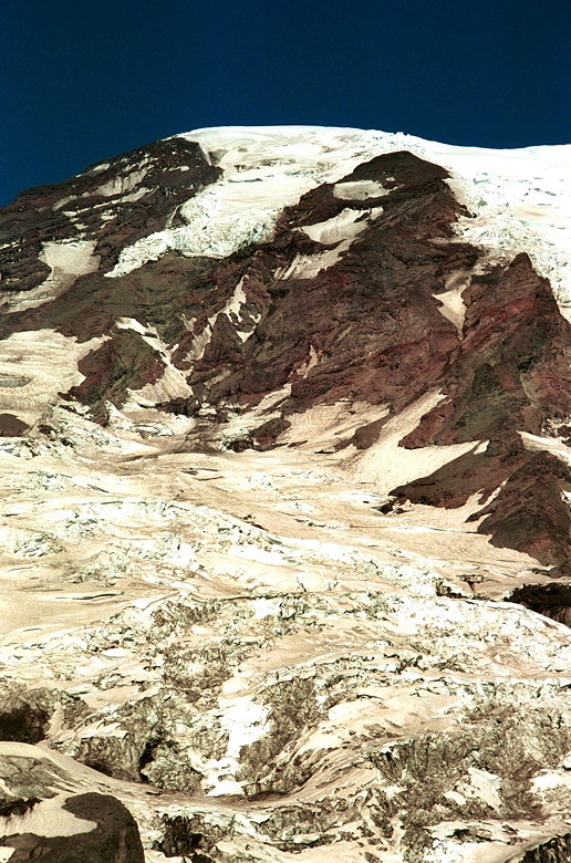
Closer look at the upper Nisqually Glacier
The whole time we're climbing, we get better and better views
of Mt. Rainier in front of us, and the Tatoosh Range behind us.
In the distance we can see Mt. Adams and Mt. St. Helens -- its
top clearly flattened from its eruption 19 years earlier. Way
off in the distance is Mt. Hood, indistinguishable from all the
other mountains to the south.
Several volunteers were working on revegetation projects. In previous
years there'd been a golf course and car camping on Paradise Meadows.
That stopped, but off-trail hiking damage continues. The revegetation
projects hope to repair that.
After less than 2 miles we reached Panorama Point, elevation 6800
feet. There were several people here enjoying the views and having
lunch. The squirrels and chipmunks here are very aggressive, going
right up to people to beg for food. Jean poked at a squirrel with
her trekking pole and it just stared at her, not backing away.
He must have thought: "If I let her bounce my head up and down
with her trekking pole, then maybe I'll get some food!" After
a minute of this he finally gave up and scampered off.
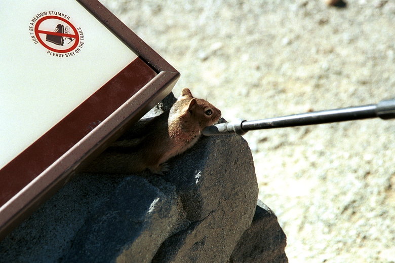
Squirrel making friendly with a trekking pole
Tatoosh Range as seen from Panorama Point
While we were at Panorama Point we witnessed participants in a
climbing school learning the art of using crampon and ice ax.
Dozens of students made their way up snowy slopes. Perhaps it
was the same guide service that vice president Al Gore used a
couple months before when he summited Mt. Rainier.
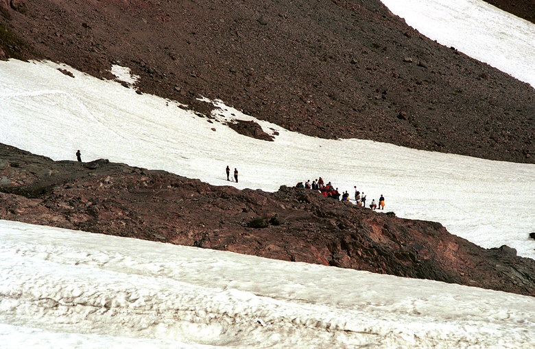
Glacier travel class at 6500 feet
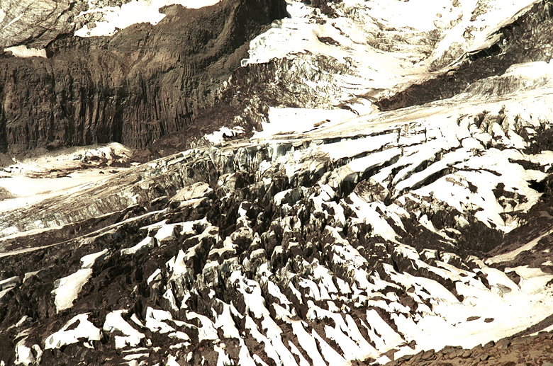
Close up of crevasses in Nisqually Glacier
Above about 6000 feet the mountainside is completely barren. Dirt
and rock and snow. Below, there are various wildflowers, but no
great colorful displays. Perhaps the record snowfall year prevented
them from having more wildflowers.
Wildflowers on Mt. Rainier
Just how many pictures of Mt. Rainier can I take?
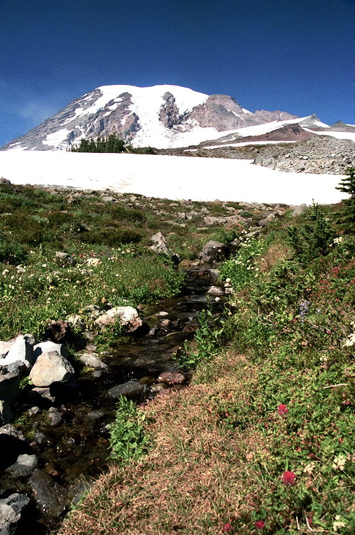
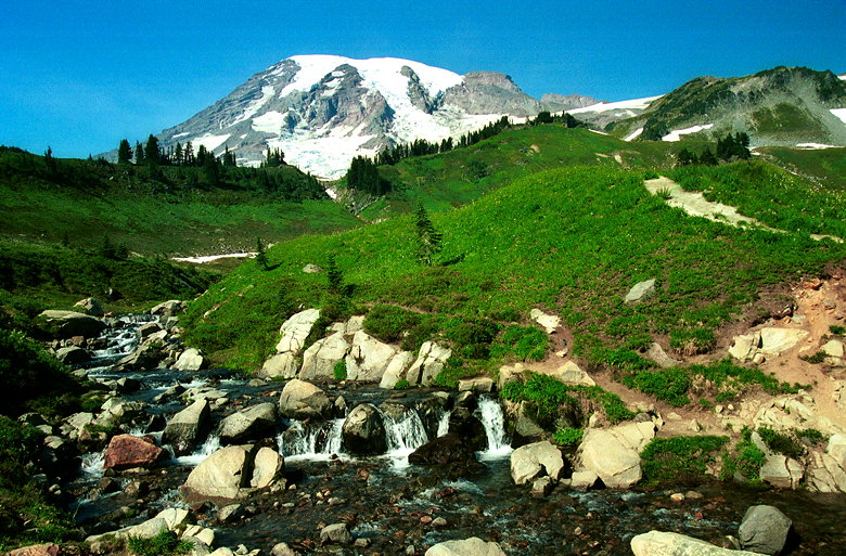
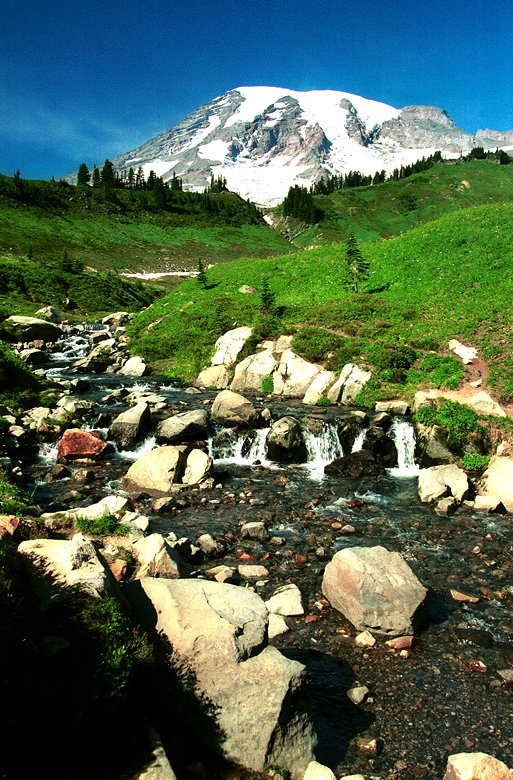
As we descended, we entered a land full of snow patches, creeks,
and waterfalls. The land was still fairly barren, but we soon
returned to the grasses and trees. The trail actually descends
too far, requiring a final uphill before returning to the parking
lot. The last quarter mile of the trail is paved, the pavement
starting next to a beautiful cascading waterfall.
One more
Return to Seattle/Olympic/Rainier trip report.
| 

