|
Alex, Andy, Angie, Ben, Dave, Jennifer, Joe, Landa, Michelle, Nancy,
Rich, Tuan, Wayne, Weihaw, Wilson, and I made the trip down to
Pinnacles National Monument, about 45 miles south of Hollister. We
then hiked the High Peak Loop and Bear Gulch Caves.
If you ever go to Pinnacles, get there relatively early in the
morning. When we got there (between 11am and noon), the main parking
lot was full, forcing us to park further into the park. This wouldn't
be so bad except for the fact that it forced us to hike 1.2 miles
just to get to the start of our main hike.
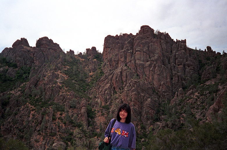
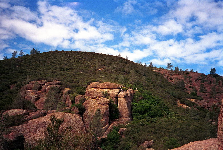
Pictures don't really do this place justice. Those rock formations
behind Michelle are actually several hundred...maybe over a thousand
feet behind her.
The views were great throughout the hike. The Pinnacles rock
formations are the highlight, but there are also great sweeping views
of the surrounding -- undeveloped for miles on end -- area. I regret
that my camera won't do the park justice. Someone should make a
QuickTime VR movie out of it. =)
We started our hike by going up Condor Gulch Trail -- 1.7 miles
steadily uphill, almost to the top. We then hiked along High Peaks
Trail. Parts of it required us to inch our way forward on narrow
trails with handrails. Then it was downhill to the Bear Gulch
Reservoir -- a small, peaceful, rock-walled reservoir where we took a
brief break before heading into the caves. There are some incredibly
tight squeezes in the cave, and one place where I didn't manage to
avoid bumping my head. But it was fun. I'd never hiked in a cave like
that before -- one that requires flashlights and contorting my body
just to get to the other side.
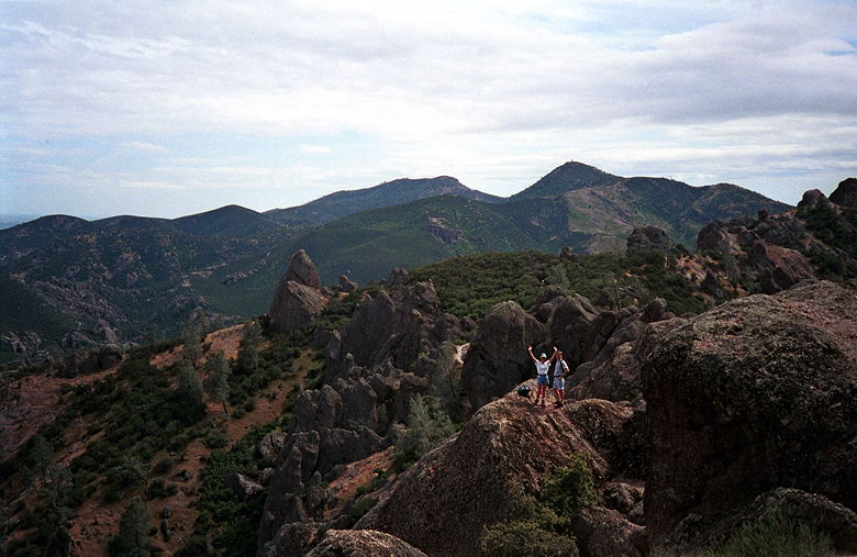
My favorite picture from the Pinnacles. This is a picture of Angie
and Dave, taken from the top of the Pinnacles.
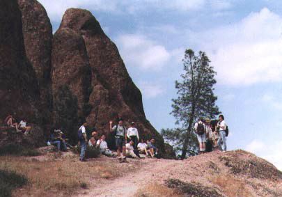
Here's a picture of most of us resting at the top, taken by Angie
from where she is in the previous picture.
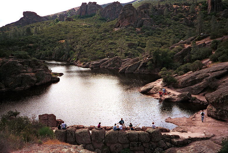
The reservoir above Bear Gulch Caves.
Rock formations as seen from near the cave entrance. Those are rock climbers on top of one of the rocks.
In general, the hike is a great place to go for fantastic views of
nature. The caves are a nice little diversion at the end. And one
other good thing (for hikers, anyway) -- no mountain bikers allowed.
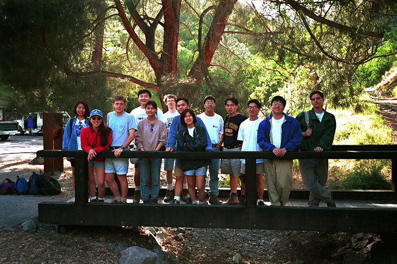
Most of us, after a successful hike. This is actually the bridge
where we first started our hike, 4 hours before this picture was
taken.
| 

