|
I decided to wear my long hiking pants today to avoid getting bitten by sand
flies. They would bother us a little on this hike, but the nice thing about sand flies
is that if you keep moving, they'll leave you alone. I don't know why this is, but it's
a very nice fact.
We started the hike just after 11:30am. The first part of the hike follows a causeway through
the Marahau estuary. The causeway is
partially planked, about 10-15 feet above the ground where one assumes water sometimes
flows. We didn't see any; I assume it was low tide or the rivers were low late in the
summer. In either case, it gave us the opportunity to view some of the handiwork of
previous visitors. All along the ground beneath the causeway, people had assembled rocks
to spell out words. One that particularly stands out is one that read "NZ Rocks".
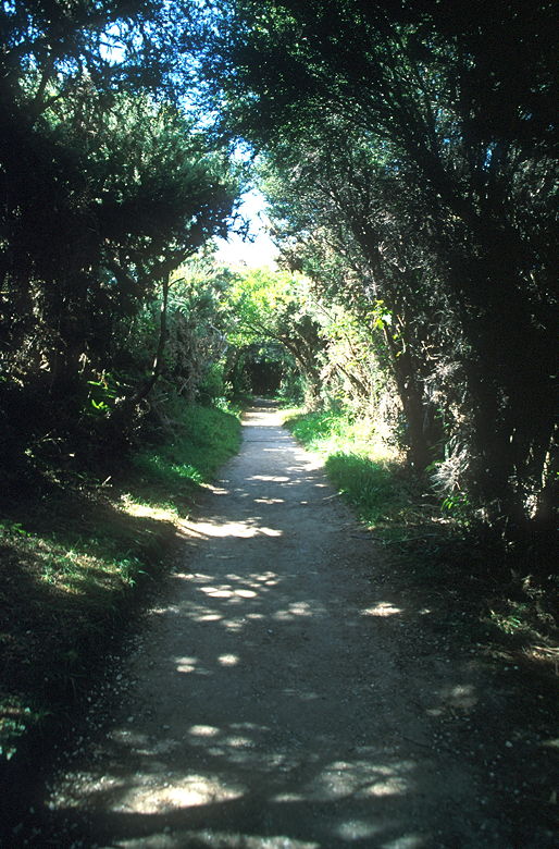
Abel Tasman Coast Track
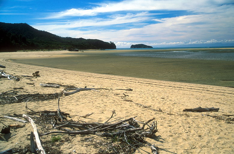
View of the beach from one of the side trails
After crossing the estuary, the trail returns to solid ground, going through a passageway of trees
which reminded me of Lord of the Rings for some reason. The trail has been tunneled out of
the trees, which arc over and enclose the trail. There are lots of little side trails out to
the coast. We passed by Stu's viewpoint before we took one of the side trails and popped
out onto the beach in front of what was probably Tinline Bay, about 2 kilometers from the
start of the hike. We mostly had the beach to ourselves as we ate lunch.
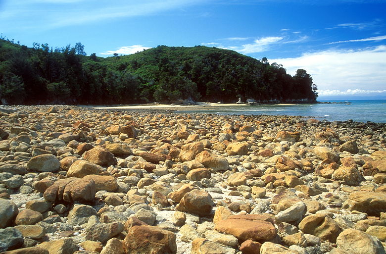
The rocky beach at our lunch stop
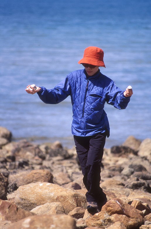
Jean finding sea shells
After lunch we wandered the beach, noting the mass of medium-sized rocks and the abundance of
sea shells. I wandered over to where there were several birds with long orange beaks. While
I went out to them, I noticed hundreds of dead mollusks on the rocks. I was thinking that
they shouldn't be dead out here on dry land if it was just a case of low tide, but I later
discovered that they were in the path of a creek flowing into the sea, so they'd probably
been dead for a while after the creek dried up.
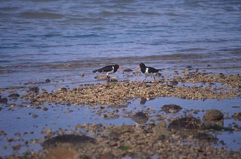
Two of the orange-beaked birds
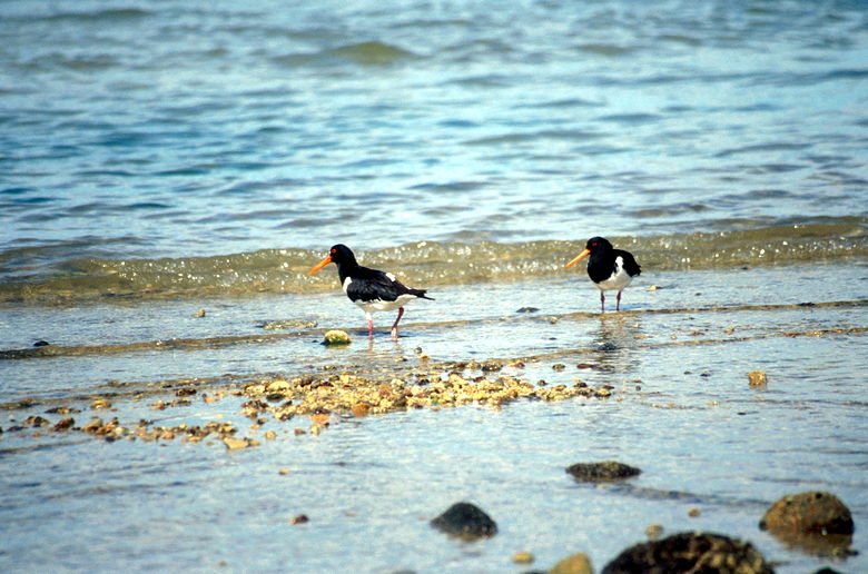
Two more of the birds
One thing that threw me off the entire time I was in New Zealand was the sun. Years of
living in the northern hemisphere has me trained to think of the sun as being south. My
entire sense of direction was messed up because now, every time I looked at the sun I had
to realize I was looking north. I kept thinking east was west and west was east. It also
didn't help that I hadn't adjusted my compass for declination in New Zealand. Thankfully,
the trail was very well-marked. In fact, the trail was very well-maintained, with a
hard-packed surface and drainage ditches -- concrete-reinforced drainage ditches in some places,
even.
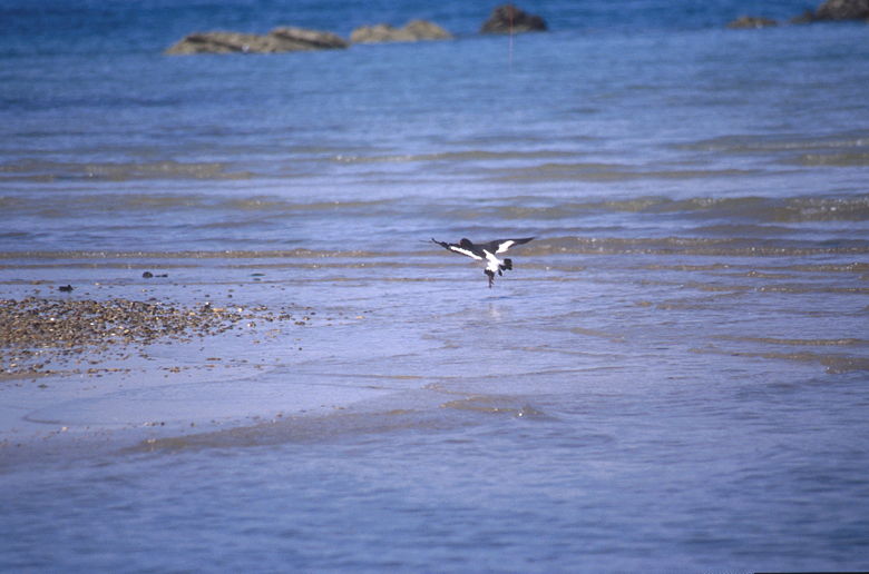
One of the birds landing on the water
After lunch we returned to the trail and shortly passed Tinline Camp, where there's a large
clearing, a toilet and, one presumes, campsites (we couldn't see -- they were probably behind
the trees). We then crossed a bridge over Tinline Creek and a side trail to Tinline Beach
(a section of the beach just a bit further down from where we'd been for lunch). The trail
turns slightly inland for a short time, and there's an intersection with the Abel Tasman
Inland Track. The inland trail looks narrow and not as well-maintained.
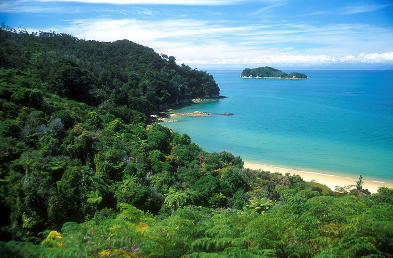
View from the trail
We continued on the coast track, which shortly returned to the coast line. There's a side
trail down to Coquille Beach which we passed. I found myself enjoying this hike much more than
the Queen Charlotte Track. Part of the reason is that the Abel Tasman Coast Track is not
as overgrown. There are fewer ferns and better views. That's not to say there wasn't a lot
of vegetation. Some of the plants we saw included ones with dark red flowers (Jean says it's
used for herbal tea), ones with bright blue berries (we'd seen this on the Queen Charlotte
Track), and even plants like the one in my front yard. There's this monstrous plant which I've
been trying to hack down -- grows straight from the ground with long straight leaves and no
branches. I don't know what it's called, but we saw several in the estuary.
We saw lots of day hikers and very few overnight trampers on this hike. The trampers we did
see made me realize that beach backpackers are a different breed of backpacker. We saw a guy
walking around with a sleeping pad attached to his neck, a woman with packs both on her back and
on her chest, and another woman hand-carrying some hard plastic case (hairdryer?). This
reminded me of the campers at Cape Alava who were carrying a cooler with them. I can't imagine
lugging that thing for 3 miles. Beach backpackers just tend to carry more for some reason,
like they're going to hang out on the beach with a big bonfire and a beer in each hand, and
they need to take every creature comfort with them.
We passed the beautiful teal-blue waters of Coquille Bay far beneath us, then rounded a
corner and saw the bright sands of of the beach at Appletree Bay. Unfortunately, it took
a long time before we actually found the access path to the beach. We eventually reached it,
following the short set of switchbacks down to the beach. We shared the beach with a dozen
or so kayakers who were relaxing before heading back onto the water. They sat in the sun
or played frisbee while we ate a snack. There's a picnic table here and 15 camp sites.
We saw several kayaks go by in the waters in front of us, in front of Adele Island and
Fisherman Island.
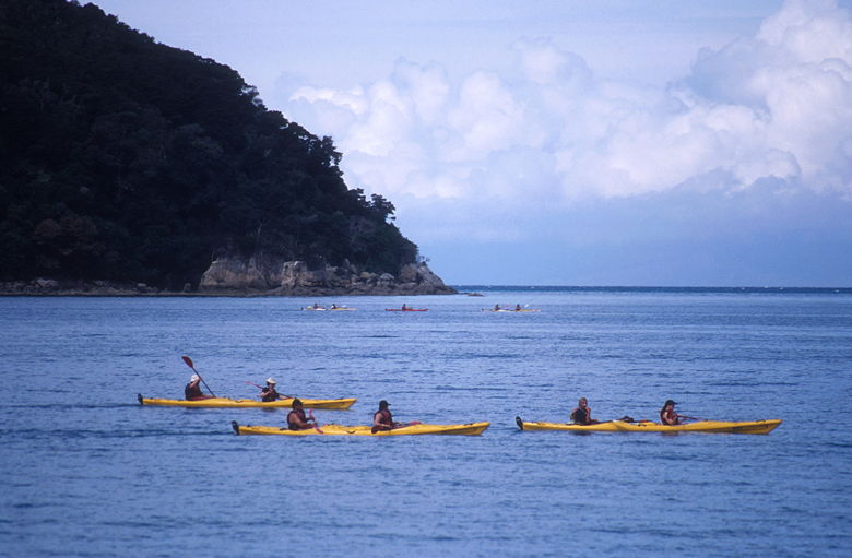
Kayakers near Appletree Beach
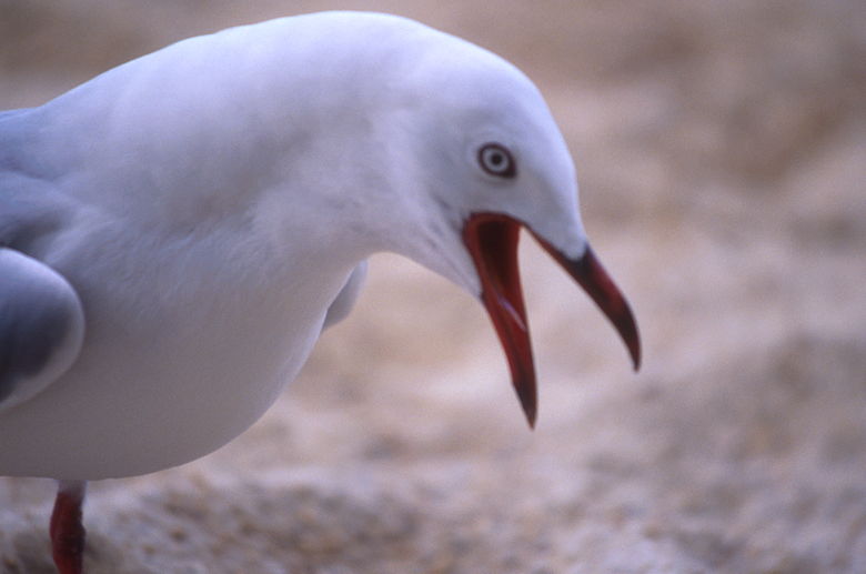
Bird squawking
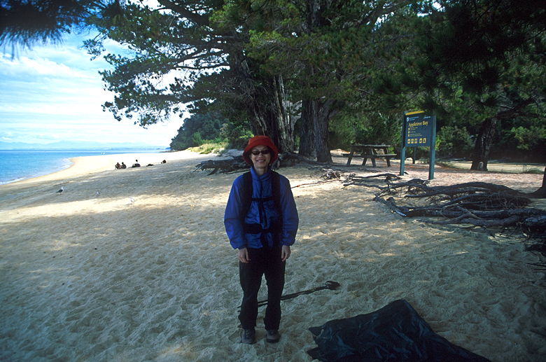
Jean at Appletree Beach
It was past 3pm by now, so we decided to head back. We went back non-stop, hiking back to
the parking lot in about an hour and a half. It was still low tide when we re-crossed the
estuary. It might be interesting to visit the park at high tide sometime to see the
difference. I would also be interested in hiking the entire Abel Tasman Coast Track,
which is 51 kilometers long. It really is beautiful, and can be hiked year-round. A nice
alternative would be to kayak along the coast next to the trail.
Return to New Zealand Trip Report.
| 


