|
Rhonda had warned us that Tom was a snorer, and we coincidentally were in the same bunkroom as them. He did
snore (almost continuously), but it wasn't as loud as some others I've heard. Besides, I was so tired that it wasn't about to keep
me from sleeping.
We had a lot of kilometers to cover today, and a boat to catch, so I wanted to get an early start today. I
was up by 6am and was the first person into the kitchen. So I had the honor of opening the main gas line.
The rain had subsided but the overnight precipitation had given rise to lots of waterfalls on the mountains.
Martin and I shared disgusted looks with each other as we put on our cold and wet rain jackets, which we'd left
outside to dry. Nothing was dry. Nothing that we'd left to hang either inside or outside was dry. I had hung
my Icebreaker shirt by the fire the previous night, so at least it was dry. I did have an unused shirt I could
wear, but I decided to just go ahead and wear the Icebreaker shirt for the fourth consecutive day.
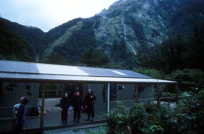
Looking at the mountains from the hut
We left at 7:48am, just after Martin and Heike. Tom and Rhonda had left a while ago. I did some quick calculations
and determined that we needed to walk a mile every 32 minutes to still arrive at the ferry by 2pm. That would
give us a comfortable cushion, since the boat wasn't to leave until 2:25pm. Of course we would walk faster than
32 minutes per mile, but we did want to stop once in a while. It was nice to know when we could relax.
We covered our first three miles at a 24 minute mile pace. It was pretty uneventful, relatively flat trail
through the forest. It stopped raining, but remained mostly cloudy. We stopped at the restroom just before
the boat shed a bit after 3 miles. While we were there a bird with a distinctive black and white fan tail
fluttered about near us.
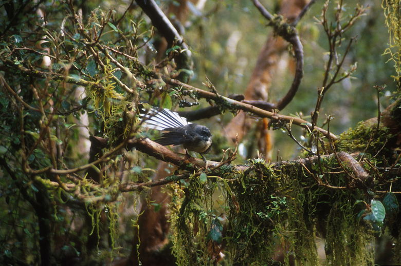
Fan-tailed bird
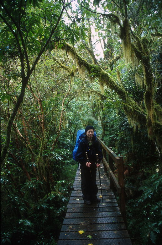
Jean on some planks on the trail
After a short break to eat, we continued on the trail. We passed the boat shed and then immediately crossed
a bridge over the Arthur River. Not long after this we crossed a bridge over Mackay Creek. On the other side
of the bridge is a platform which serves as a viewing area for Mackay Falls. Jean had kept going, but I stopped
to take a picture of the falls. A couple there mentioned that Bell Rock, next to the platform, was interesting
in that you could crawl underneath and stand up inside the rock. I didn't feel like taking the extra time,
though, especially since Jean was still going up the trail.
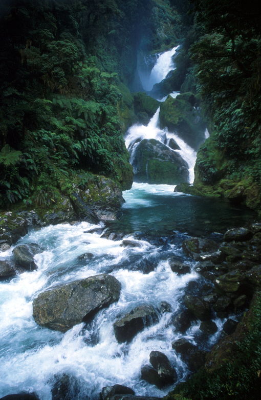
Mackay Falls
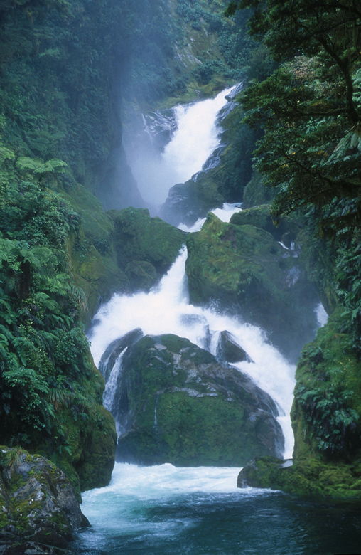
A closer look at Mackay Falls
I rejoined Jean and we continued along the trail. The sun started to break out a bit and it was pretty clear
that the rain wouldn't bother us today. We saw Martin and Heike near Lake Brown, in which we saw some ducks
and they said they saw some trout (though we never saw any ourselves). The views here are all partially
obstructed, which is unfortunate. We did have a view of the sky, though -- we witnessed a helicopter overhead
carrying a large bag. Ruth had mentioned that helicopters were used to carry gravel to place on the trail, so
I suspected that was what it was. You'll find out what it actually was later...
Because there didn't seem to be any good places to stop, we just picked a
small clearing where the couple I'd seen at the Mackay Falls platform was just leaving. We ate and rested,
but moved along quickly as the sand flies found us.
While we'd been resting, Sally and Chris and the Japanese girl had passed us. But we soon caught up with
Sally and Chris resting at a log. We then started climbing up the rock cuttings near Lake Ada; the map says
the rock cuttings were completed in 1898. The climb was only about 100 feet, but it was about the most
sustained climb of the day. The elevation profile in the track guide makes it look like there's one climb of
about 400 or 500 feet, but that's not the case. There's nothing like that -- there's no single climb more than
100 feet, and most of it is much more gradual.
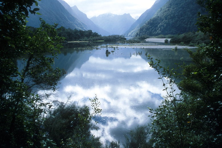
Clouds reflecting in the water
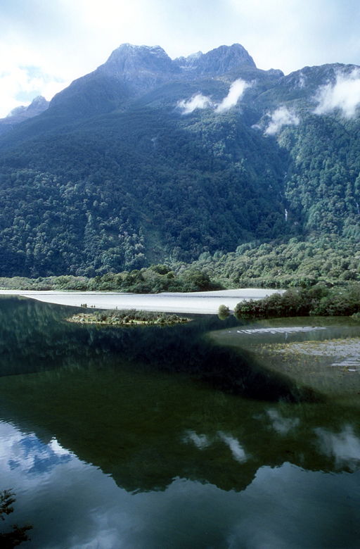
Reflections in the water seen from the rock cuttings
After the rock cuttings the trail levels off but crosses a very watery and rocky section. We passed this section
slowly before coming to Giant Gate shelter. Jean wanted to keep going, but Martin and Heike were just leaving
the shelter and said it was a nice place to stop. We ate most of our remaining food here. There's a toilet here,
as well as no sand flies, but there's not much in the way of views. It also got quite crowded as both independent
trampers and guided walkers came into the last stop before the end.
We left before most of the others and headed back onto the trail, immediately crossing a bridge with views of
Giant Gate Falls. We passed more waterfalls, but I was actually tired of stopping to take pictures of
waterfalls. I'd seen enough. We powered through the rest of the hike non-stop, about 3 miles to Sandfly
Point in an hour and sixteen minutes.
We reached Sandfly Point before 1:20pm. About 15 independent trampers were already there, huddled inside to
avoid the ubiquitous sand flies. I walked over to the ferry dock where I took some pictures of the mouth
of the Arthur River. The ferry came in while I was there, and there soon followed two men with a raft carrying
two kayaks. Some of the trampers were going to kayak out instead of taking the ferry with us.
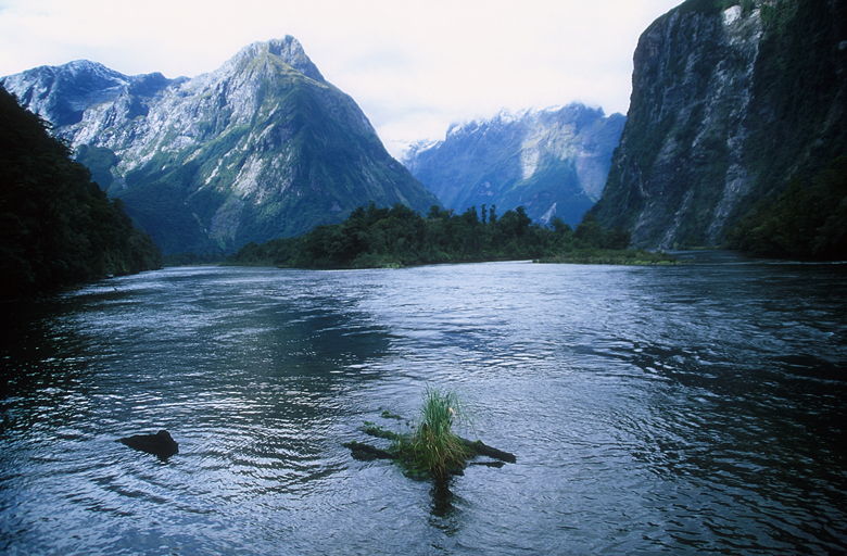
Mouth of the Arthur River
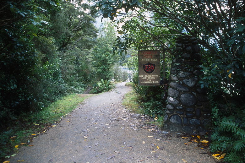
End of the trail
We boarded the ferry and the boat left around 2:20pm. The ferry was full, but there were many trampers who
weren't on it. It would return for a second scheduled trip, leaving Sandfly Point at 3:15pm. It was a short 15 minute
ride to the Milford Sound
wharf. Along the way, the captain provided brief commentary. It was cold and still overcast as we got our
first glimpse of Milford Sound itself.
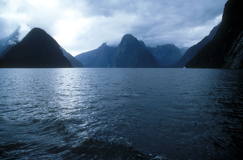
Milford Sound
We docked and got off the boat. Jean and I were taking the bus back to Te Anau, and then transferring to another
bus for the trip back to Queenstown. The DoC had booked the bus to Te Anau for us, and we hadn't known that we
could have booked a single bus all the way back. When we told the driver we'd be transferring to a different bus,
he said he'd just take us to that bus right now (rather than waiting until Te Anau to make the transfer). That
was fine with us. We found the bus driver, who said we'd have to take a smaller coach, which would be around
shortly. Apparently the larger bus can't make it into the parking lot of our hotel (it is a bit tricky).
Coincidentally, Tom and Rhonda were using the same bus company, but they'd be on the big bus. Martin and Heike
and just about everyone else was on the first bus, though, just going back to Te Anau. In fact someone mentioned
to no one in particular that they were planning to have dinner in Te Anau at a particular restaurant if anyone
wanted to join. Unfortunately we had the long trip back to Queenstown.
We left around 3:15pm. The drive between the Milford Sound wharf and The Divide is quite scenic. We climbed
up to get views of the mountains, then drove straight through the mountain in Homer Tunnel, which was completed
in 1953 (and started in 1935!). On the other side of the tunnel are some great views of the imposing snow-capped
Darran Mountains.
We stopped in Te Anau for a short break before continuing on to Queenstown, finally arriving at our hotel around 7:30pm.
One final note on the Milford Track. It is often billed as "the finest walk in the world." While some may
appreciate all the beautiful waterfalls and rain forest on the hike, I must profess a preference for high alpine
trails -- especially dry ones. While Mackinnon Pass provides some outstanding views, I would not say it compares
to standing on top of a peak in the Sierras. And while the huts kept me dry, none of them can compare
to camping out at Rae Lakes in a tent for two nights. This is not to say I didn't enjoy the Milford Track.
Of course I did. But, for me anyway, nothing beats a hike in the Sierras. I hope I haven't offended any Kiwis in
the process of writing this review. :)
Click here for a slide show video of our Routeburn and Milford Track hikes:
Slide Show Video
| 


