|
We woke up around 6:30 and it was still raining. In fact we got a glimpse of snow on the peaks of the
mountains above the lake. The forecast called for rain, clearing in the afternoon. So we took our time
getting ready. We were all set to go at 9am, but it was still raining quite hard, so we decided to wait
it out a bit. We still had plenty of time to reach The Divide and catch the 4pm bus.
The rain didn't let up at all, so we eventually decided we had to just go. We left the hut around 9:35am
in the pouring rain. The trail, if you can call it that, was more like a stream at times. We climbed
through beech forest. My gloves were getting soaked, and I stopped a few times to wring them out. By the
time we reached the Orchard, however, it started to let up. The Orchard is an open area with lots of
ribbonwood trees; they look like fruit trees, even though they're not. The clouds cleared enough that we
were able to see the snow-covered peaks on the opposite side of the valley.
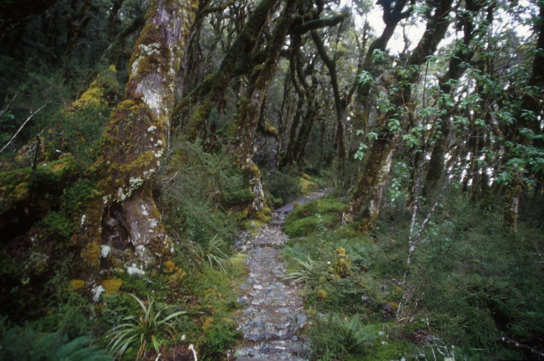
Rainy forest
We came upon two girls from Germany who had just finished college and were spending 3 months in New Zealand.
They were tent campers, coming from the Divide side. They were carrying a big chocolate bar for lunch.
They hadn't made bus reservations for pick-up from the Routeburn Shelter, but they planned to get up early
on the last day and catch the 10am bus (the one which had dropped us off), since it was bound to be pretty
empty.
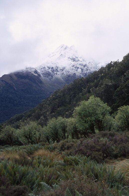
Snow-covered mountain above the orchard
We continued hiking thru off and on drizzle. We stopped near a toilet next to the trail, where we had
great views of water falls flowing down the snow-capped mountains ahead of us. I stopped here for quite some
time to take pictures with my tripod, but we didn't see anyone else.
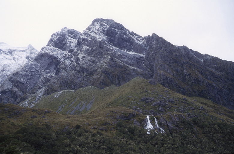
Waterfalls flowing below snow-covered mountains

Beech tree
The next highlight was Earland Falls, an 80 meter waterfall right next to the trail. There's a detour
route in case the main route is flooded, but we didn't need it at this time. We took the normal route,
getting drenched by the mist from the falls in the process. After passing Earland Falls we crossed quite a
few more bridges. We entered another beech forest with lots of moss and lichen and a beautiful
understory of ferns. We began to encounter lots of day hikers coming in the opposite direction, including
a large group of about 15 or 20 day hikers just before we reached Lake Howden.
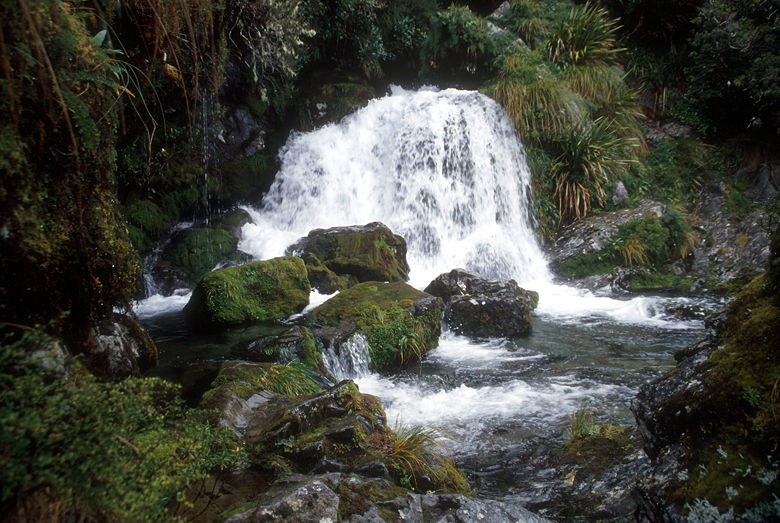
Falls next to the trail
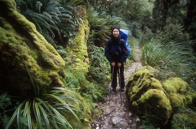
Jean on the mossy trail
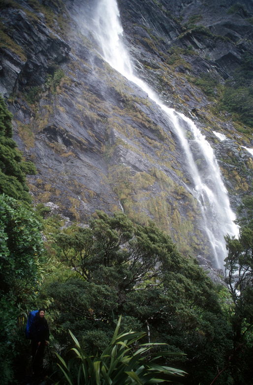
Earland Falls
We crossed a swing bridge over Pass Creek and came to Lake Howden Hut at 1:30pm. A large group of guided
walkers was inside the hut, being served their hot meals. We sat on the bench in front of the lake, finishing
off the last of our food. While we were there Tim and Jackie came by, having returned from a side trip
up to Key Summit. We still had plenty of time to do the side trip, as well, but it was still overcast and
we didn't relish adding unnecessary mileage to our trip. No kilometerage, either.
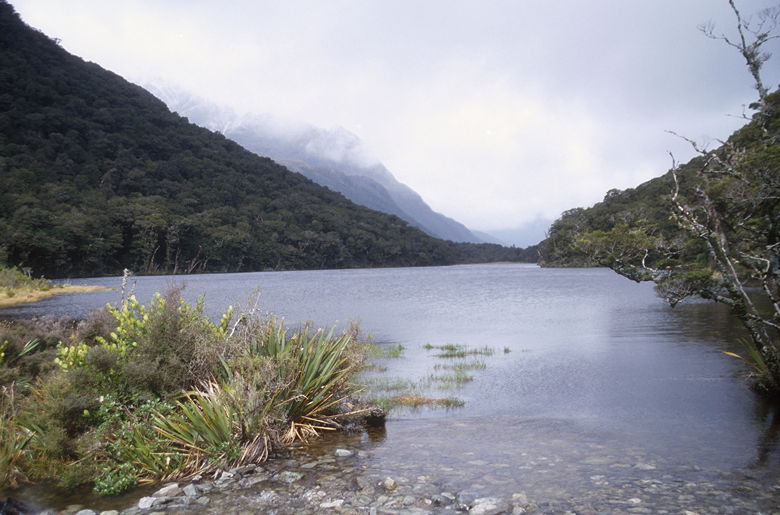
Lake Howden
After our break we left the hut a little past 2pm, ready for the final push to the finish. There's a final
steep climb to the Key Summit trail intersection, after which it's all downhill. It took us about 17 minutes
to reach the top, and another 30 minutes for the descent. There's some beautiful rainforest near the end of
the hike, but we were too geared on finishing to stop. So after we reached the Divide shelter, I dropped my
pack and took my camera and tripod with me to take some pictures of the forest. There's some beautiful
forest just a minute or two from the shelter.
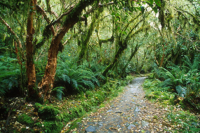
Trail just before The Divide shelter
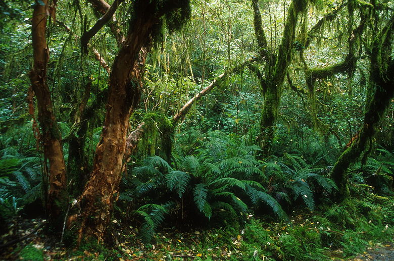
Forest before The Divide shelter
The Divide shelter was crowded with young people waiting for their busses. It has a couple bathrooms but
no other facilities. Most of the people waiting sounded like they were fresh out of college. It sounded
like spring break in New Zealand. After a long wait for our bus, we finally boarded our bus a bit after
4pm. The bus was coming from Milford, having taken some people from Queenstown for a cruise on Milford
Sound. The bus was now returning them to Queenstown, and we joined them.
We then took a 1 hour motion-sickness-inducing ride to Te Anau, a city on the shores of Lake Te Anau.
Our bus driver, Chris introduced himself: "Hi, I'm Chris, I'm an alcoholic." He had a quirky sense of humor,
telling us to make sure our tray tables were locked and seats in the full upright position before our
final descent into Queenstown.
The bus stopped in Te Anau for 25 minutes, giving us time to buy snacks. Then we enjoyed a beautiful 2 hour
drive to Queenstown past sheep and deer farms, rolling hills, and a beautiful sunset. Along the way our
in-flight movie was "Notting Hill."
Click here for a slide show video of our Routeburn and Milford Track hikes:
Slide Show Video
| 


