|
The night was quite warm. I probably should have taken a lighter sleeping bag, as my 3.8 pound
0 degree bag was just too hot. Still, I slept comfortably until the morning, when I emerged from
my tent around 7am.
Originally, I had planned to head up the creek and then return to Highway 20 via Harvey Gulch.
George Wuerthner's "California Wilderness Areas" book describes that trail-less route. However,
because of our experience the previous day, we decided to just take the Judge Davis trail back.
The book doesn't mention anything about the ease of the Harvey Gulch route, and topo maps don't
tell you anything about vegetation. If it was anything like some of the brush we'd encounter it'd
be a difficult route.
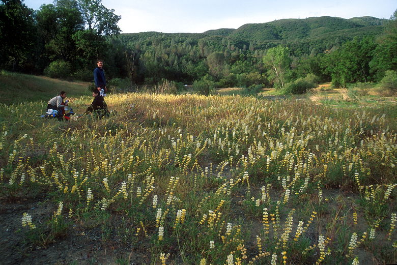
Breakfast amidst the lupines
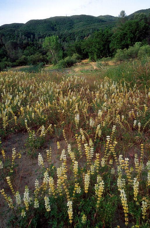
Lupine
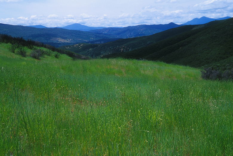
After breakfast, we left our packs at camp and explored the surrounding area a bit. The area to
the east is a grass-filled meadow with big oak trees spread out before the hills. Yellow lupine,
along with a few scattered poppies and other flowers, lined the creek. On the opposite side of
the creek, 10-15 foot steep walls of dirt lined the creek. On our side, however, there was
easy access across a flat bed of rocks.
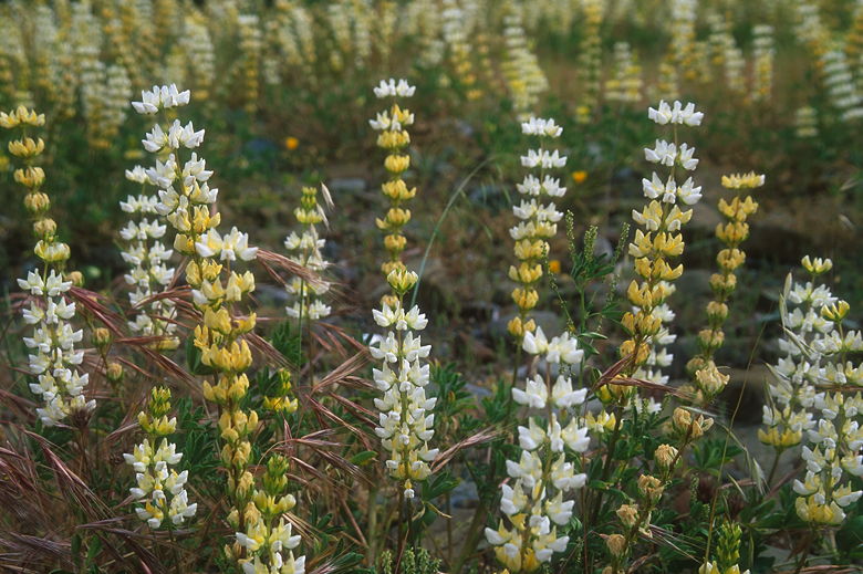
More Lupine
After exploring, we finished packing up and headed out, getting way just before 11am. We headed
up the hill, roughly following the same path we'd taken down the night before. We pretty quickly
reached the main trail, where we turned left. As we climbed, I stopped to take some macro photos
of gold nuggets flowers. Serendipitously, as I was doing so, a butterfly landed on one of them.
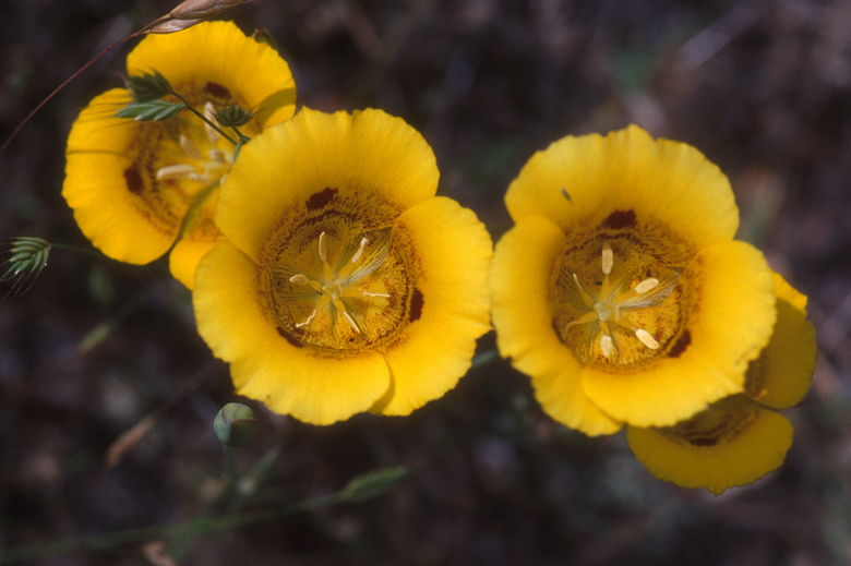
Gold nuggets
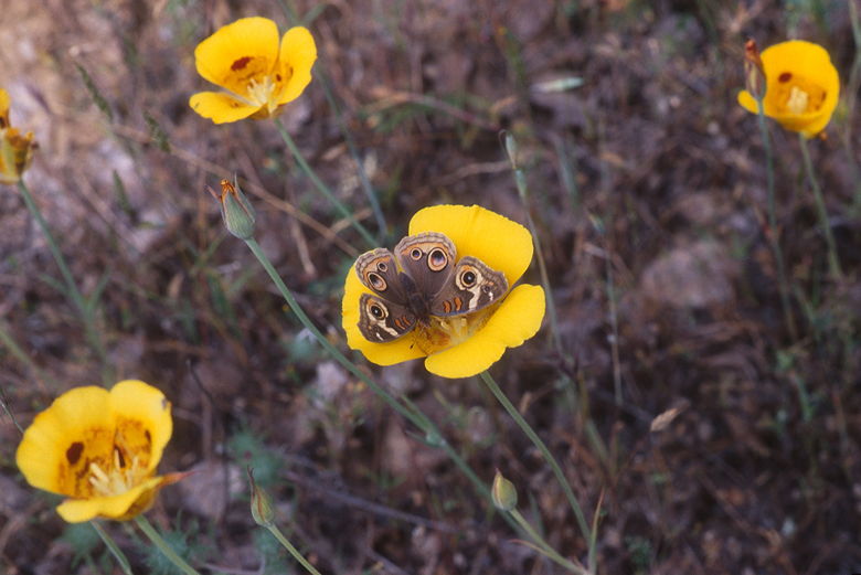
Butterfly on a gold nugget
While I was stopped taking pictures, a group of about 10-12 backpackers passed me on the trail.
They were the first people we'd seen on this trip. We'd only see 3 other people on the trail.
Considering this was Memorial Day weekend, that's a bit of a surprise -- but it's also one of
the reasons I picked this trail -- to avoid the crowds.
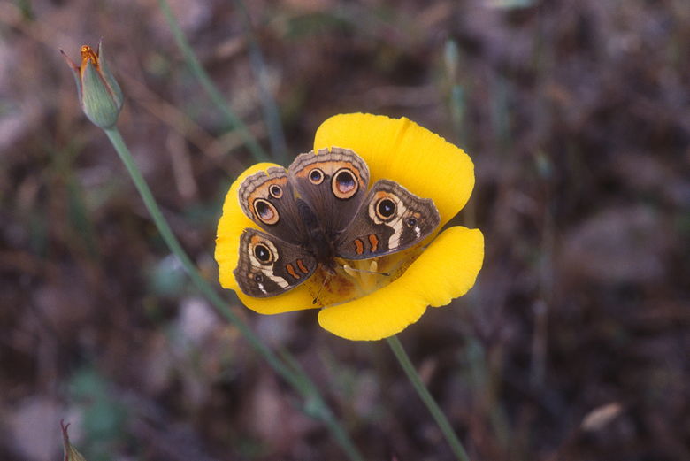
Close-up of the butterfly
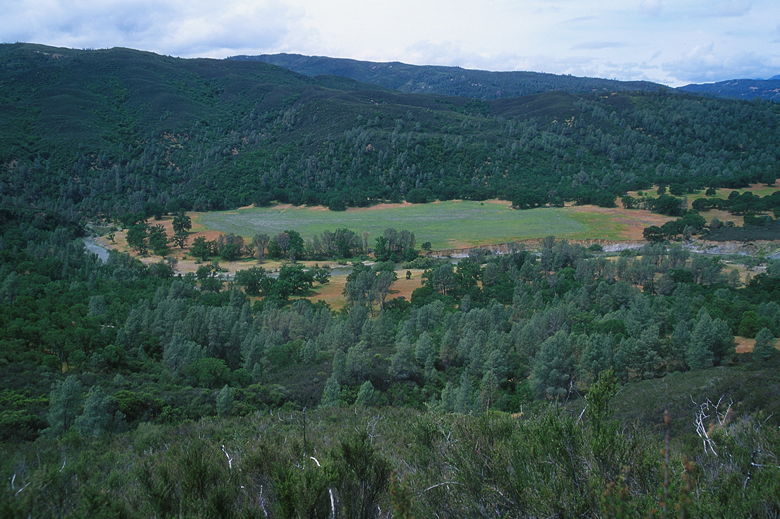
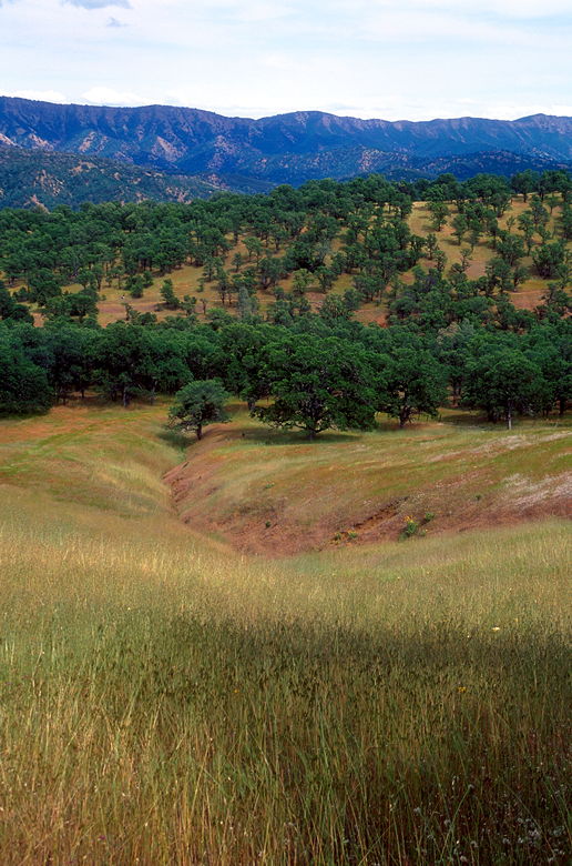
View of south end of Wilson Valley
The four of us were going at different paces, so I decided it would be a good idea to bring
the radios out. We all had radios, so we match frequencies and turned them on. We all climbed
under the hot mid-day sun, mostly past shoulder-high brush. Around 12:45 I found a spot
under some shady trees with a view of the lake we'd seen the day before. We settled here for
lunch, near the large group of backpackers who were finishing up their lunch. While we were
there, they headed off-trail on the steep descent to the lake to "chill-out" as they put it.
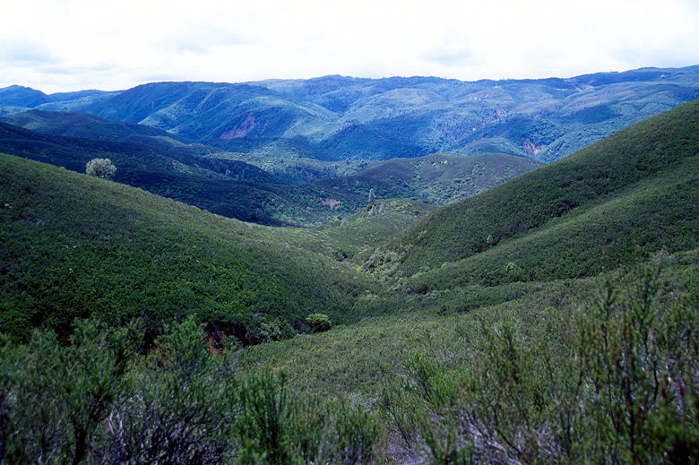
Valley view
After lunch, we continued the long climb up. Luckily, clouds began to obscure the sun occasionally.
If on for that, it would have been even hotter than it already was as we climbed hundreds of feet
with no shade in sight. We entered the grasslands again, then back to the brush. Every once
in a while we'd get some cool breezes, but not enough to make us stop for a break.
Looking back at the grasses to the left just before a steep climb
On a few occasions on the hike we saw raptors soaring in the air, but generally not as close as
what we'd seen in Las Trampas or Briones a couple months earlier. We also didn't see any Tule
elk or bears, which inhabit the area. There were, of course, lots of lizards and a few very
startled snakes.
After the long arduous climb, we stopped at the top of the ridge just before the descent back to
the fateful intersection at the barbed wire fence. It was nice sitting there, enjoying the breeze
underneath the big oak trees, not thinking about having made a 2 - 2 1/2 hour detour as we had the day
before.
View from the top of the ridge
After a nice break, we descended and continued on the wide dirt trail. Shortly after passing the
barbed wire fence, we ran into a woman who asked us if we'd seen another woman go in the opposite direction.
We told her that we hadn't. She then walked back to her hiking partner and continued back to the
parking lot.
The sky was now mostly overcast, and the route was mostly shaded anyway. We knew we were close, and
the worst of the climbing was over. In total, we would end up climbing 1820 feet today, and descending 1000 feet.
This means that our little detour yesterday cost us about 450 feet of extra climbing, not to mention about
3 miles. In any case, this was definitely harder than I had anticipated, with or without the detour. I
should have taken the extra time to examine the topo map and discovered exactly how much up and down there
would be. I'd only given it a cursory glance before the trip to find out that there was an 800 foot
elevation difference between the parking lot and camp.
Soon enough we were back at the parking lot. There were hand-written scraps of paper on all the cars
telling the drivers not to park in the trailer parking lots. Which was odd considering there weren't any
signs to that effect. I guess you're just supposed to know. I guess I should mention that while the park
is open to mountain bikers and horses, we didn't encounter either. In fact, we hardly noticed any signs
of either. If it's solitude you want, this place is a pretty good bet. If it's well-marked trails you're
after, try somewhere else.
| 

