|
There were just three other cars in the large dirt lot when I arrived
around 3:30pm. Just as I started off on the trail, some backpackers and
day hikers exited the trail. Those were the only people I'd see on the
trail.
I immediately crossed a small creek. Further on, the trail would be muddy
in places, but nothing that required immersing my boots. The trail traverses
the side of a small mountain, past small patches of snow. Indian paintbrush
are prevalent. Further on, there are lots of mule ears.
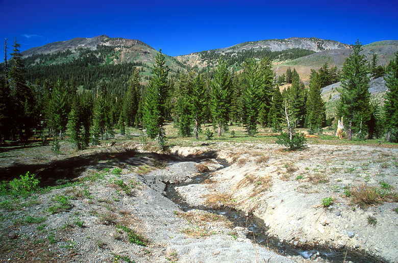
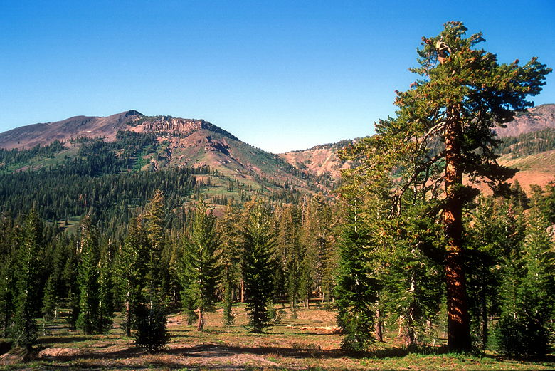
View looking north
The forest opens up a bit to allow views to the north, and I stopped to
take some pictures before continuing a brief climb. After reaching the top,
I took the left fork down the hill. To the right I could see part of Upper
Gardner Meadow. The trail enters the forest. Eventually, it emerges into
a large meadow. A creek meanders on the left, cutting a steep 5-foot deep
trench. The trail goes through the meadow. As you can imagine, it is
muddy in places.
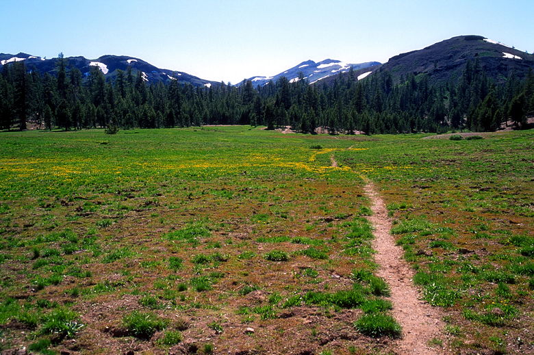
Meadow
As you pass through the meadow, don't forget to look behind you, where you'll
be rewarded with views of the surrounding mountains. After a mile from the
the first trail intersection, I turned left to head toward Asa Lake. To
the right I could see glimpses of a yellow flower-filled meadow to the right.
After climbing a bit through the forest, I shortly came to yet another trail
intersection. I
took the left fork which dead-ends at the southern end of Asa Lake.
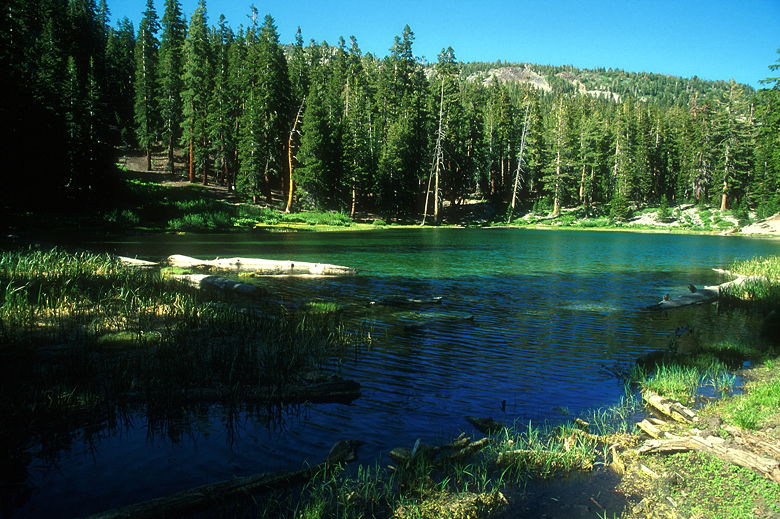
Asa Lake
Asa Lake is a pretty little lake, surrounded by forest on all sides.
There's not much in the way of a shore, except where the trail enters.
All of this didn't matter much to me at the time, though, because I soon
found myself fighting a torrent of mosquitoes. They surrounded my tripod,
my pack (which I'd taken off), and of course, me. I was wearing long sleeves
and long pants, but they still attacked me. If I stood still for 15 seconds,
I'd soon find about 50 mosquitoes swarming my pant legs. A handful landed on
my shoulders every few seconds before I swatted them away. No matter how
much DEET I apply to my face and hands, they always seem to go for the
shoulders. They couldn't bite through my fleece, but nevertheless I didn't
feel like staying long.
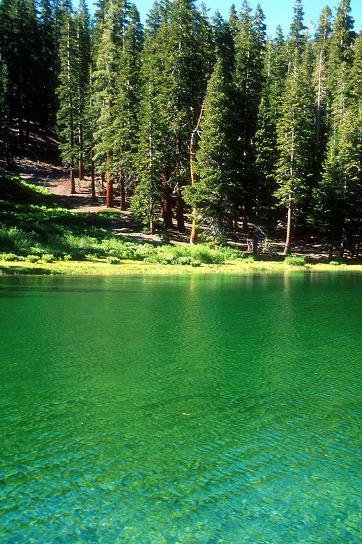
Asa Lake
After quickly gathering my things, I bounded down the trail as fast as I
could. I retraced my steps. Near the trailhead I noticed some
ponderosa pines in the beautiful afternoon light. In my mind, the color
is almost (if not just as) pretty as sequoia bark.
See the columns way up there?
By the time I returned to the parking lot, there was just one other car
in the lot. If not for the mosquitoes, I'd probably give this hike a 7 rating.
As it is, I'm tempted to give it a 5, but maybe if you go after mid-August,
you won't have the mosquito problem that I did. Going mid-day may help,
as well.
|


