|
If you are staying in the area, Gualala Point is definitely a place you
should consider visiting. The length of the hike and size of the park
doesn't justify a higher rating, but it's definitely pretty.
From the visitor's center, there's a nice view of the Gualala River, and
the buildings of Gualala itself across the river. There's a paved path
leading west toward the ocean bluffs. Instead, we took the first right
fork, onto a dirt path leading down toward the beach. This path roughly
parallels the river (though high above it and some distance away).
Coastal winds whipped at us as we shortly joined a paved path. Just after
that, we walked onto the sand and onto the beach.

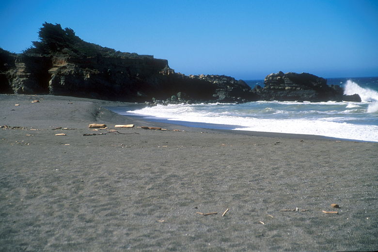
Bluffs seen from the beach
At this time of year, the beach at Gualala Point is no place to sun bathe.
The winds were constantly blowing sand at us. Amazingly, Nathan was
oblivious to it as usual, sleeping through the whole experience as he sat
on my back. I took some photographs of the bluffs to the south (on which
some of the rest of the trail is routed) before heading back onto the trail.
We retraced our steps back onto the pavement, then turned right. There
are some benches here -- even a picnic bench (though I doubt anyone would
use it given the wind). I wasn't sure if the trail actually goes past
there, since there really aren't any signs anywhere in the park. We opted
to stay on the pavement instead of venturing out there. As it turned out,
the trail does go through there, so if I had to do it over again, I would
have taken the path in that direction.
The trail enters a stand of cypress trees. A dirt path leads through the
trees to the right, and we took it. The trail goes straight to the edge of
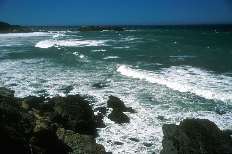
some bluffs overlooking the ocean, which crashes in waves on the rocks
some 30 or 40 feet below. Just to our right, the trail we had neglected
to take emerges from a larger stand of trees. In any case, the view from
here is grand. In fact, this little stretch of trail heading south from
here makes the hike worthwhile.

Waves coming in to the shore
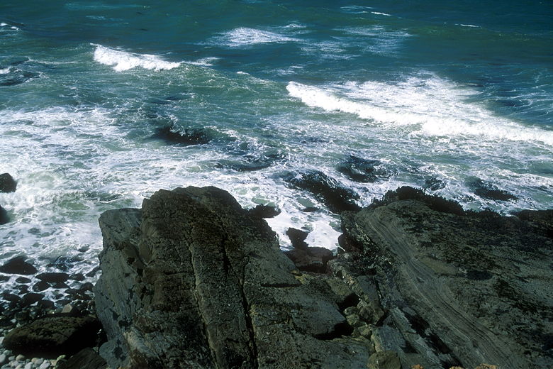
The trail is now completely out in the open, with low grasses and great
views of the rocks and ocean below to the right. Very shortly we came to
the edge of the park. If you have the time and inclination, you can
continue on the trail along the bluffs, past Sea Ranch homes (practically
in their backyards), for several miles. We didn't have the time, so we
turned left to head back.

Rocks jutting out into the water
The trail now heads straight back, briefly entering a small stand of pine
trees before rejoining the pavement and returning to the visitor's center.
| 


