|
In a hiking book I have, it says that in spring and early summer, the
winds here are so strong that "it can feel like your head will blow off if
it wasn't attached by the neck." Well, it wasn't quite that bad at the
start, but it would feel that way when we got to Alder Creek.
The fact is, when we left Anchor Bay to make the 18 mile drive north to
Manchester, it was completely sunny where we were. A few miles later,
however, the skies were clouded. By the time we got to Manchester
State Park, the skies were completely clouded and the winds were blowing
strongly. The skies would open up a bit as we ate lunch before going on
the hike, but the winds would stay.

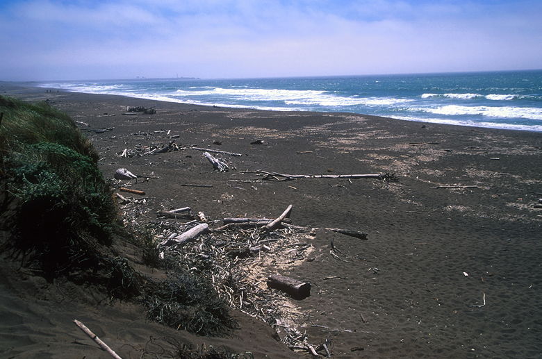
Manchester Beach
Knowing that we would be walking on sand, we took our trekking poles.
The trail immediately becomes sandy, passing through low brush, including
the ubiquitous invading iceplant. We stayed on the short bluff (only about
10 feet above the beach), until we found a decent spot to drop down to the
beach. You can probably stay up on the bluff as much as you want, and
drop down to the beach wherever is convenient. There are plenty of good
places to drop down, but also some bad ones, so use good judgment. If
the path down the beach looks sketchy, just keep going -- you'll find a better
place.

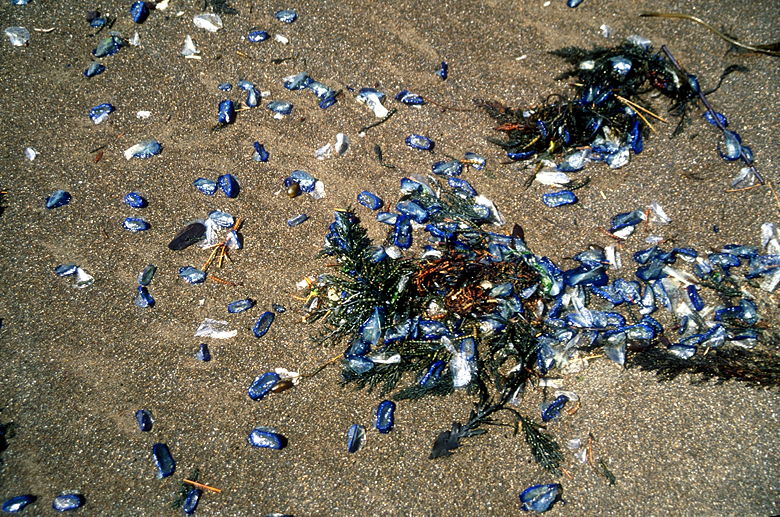
By-the-wind Sailors
After a few steps of slogging through the deep sand, we decided to head
closer to the ocean. The damp packed sand is a much better walking surface.
We walked past lots of driftwood, occasional junk (kitchen sink (literally),
anyone?), washed up kelp, and lots of small translucent blue things.
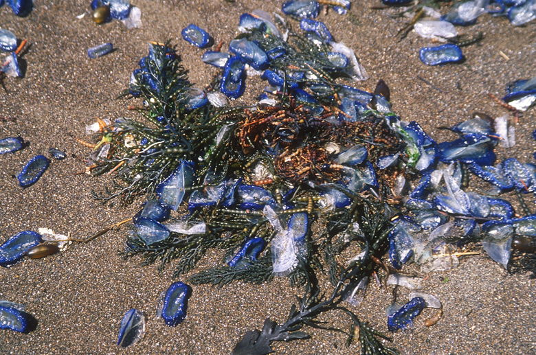
They almost looked like sea shells, but
had the consistency of jello. They were dark blue, with transparent sheddings
(like onion). I didn't know what they were at the time. I've since been
told by a couple of readers that they are By-the-wind Sailors (velella
velella). These are
jellyfish-like creatures which travel on the surface of the water and actually
have little sails.

By-the-wind Sailors
The Point Arena lighthouse lies to the south, and not much else of distinction
in either direction. We slogged along the beach in the wind until we reached
the mouth of Alder Creek. Then the wind got worse. Perhaps because there's
no land here to block it, the wind just comes in like there's no tomorrow.
It was low tide, and the creek didn't even make it all the way to the ocean
at this time. We walked between the creek and the ocean, bracing ourselves
in the wind tunnel until we sneaked behind some large driftwood next to
the the creek. We were somewhat sheltered from the wind here, although
sand flew into my face every time I stooped down to fiddle with my camera.

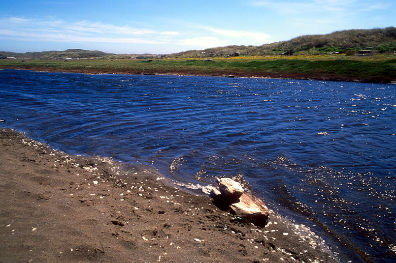
Alder Creek
I suppose the creek is fine, and the flowers on the other side were nice,
but with the wind blowing as fierce as it was, we decided a quick about-face
was in order. We walked back into the teeth of the wind, until we turned
the corner and the wind died down again as we retraced our steps back along
the beach.
When you drop down onto the beach, make sure you make a mental note of where
you did. Otherwise you could find yourself walking all the way to Point Arena
and being miles from your car. We did make a note of the distinctive features
of our drop-down point, and returned the way we came.
|


