|
I'd ridden my bicycle along Skyline Road many times to and past the vista
point. I never knew you could start a hike from there. After soaking in
the vast views of the San Francisco Bay Area from the vista point parking
lot, you too will wonder where the trail starts.
After carefully making our way north along the road (traffic whizzing by at
50+ miles an hour), we turned right onto Cloud's Rest road, which is a small
private road to some residences. There is a sign here that tells you you're
about to enter the Coal Creek Open Space Preserve. After a short stretch of
less than half a mile on the pavement, you'll enter the preserve proper,
and the path turns to singletrack.
If solitude is what you're after, you'll probably find it here. While
dogs and mountain bikers are permitted, we ran into precious few -- 2
dogs, a few scattered mountain bikers, and less than 10 other people on
foot (including one trail runner). All this on a sparklingly clear October
day.
At the first intersection, we continued straight onto the Meadow Trail,
following it in and out of the shade. The park consists mostly of
non-descript Santa Cruz mountain forest. Some manzanita, some oak. No
redwoods that I could see, which wasn't surprising since the park is on
the drier eastern side of the mountain range.
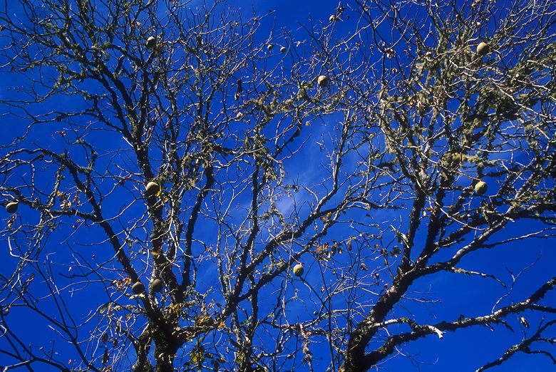
Trees beside Alpine Road
You will see power lines and houses on this hike, but because there are
so few people, you'll probably still feel like you're away from civilization.
We followed the trail downhill until we exited the preserve and made a left
onto Alpine Road. The road is gravel and is closed to motorized vehicles,
but you'll probably see a few mountain bikers. Alpine Road is a pleasant
walk on a fall day. It was still more summerish at this time of year, but
there were signs of fall, with a few scattered patches of yellow and lots
of leaves on the ground.
The road follows the edge of the preserve. After passing one entrance
to the preserve, we turned left into the second entrance. The trail now
climbs up. After crossing a small foot bridge, we took the left fork
onto the Valley View Trail. The trail climbs some more, and becomes
sandier near the top. After finding a spot with some nice views of the
bay, we settled down for a picnic lunch. There really aren't any good
spots to settle down and eat -- we just found a wide spot on the trail
and parked ourselves.
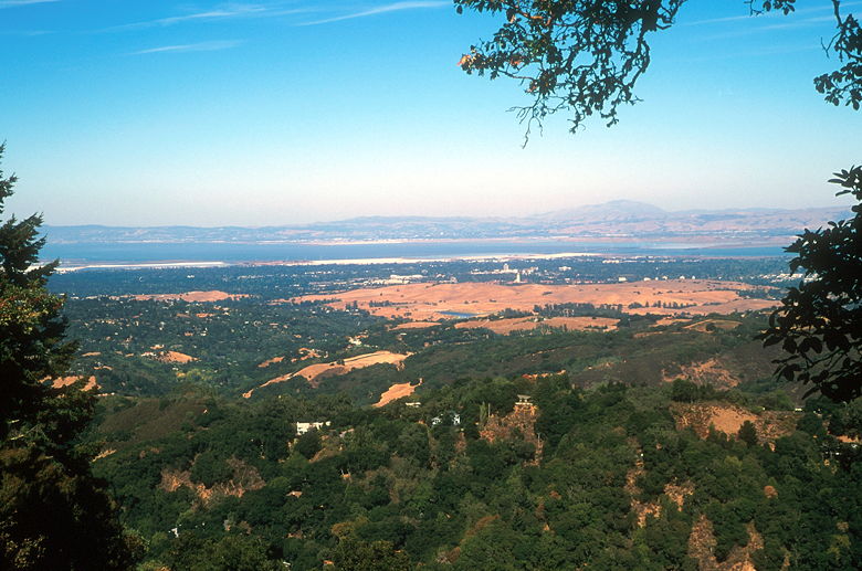
View of the bay. That's Mt. Diablo on the right.
After lunch, continued on up the trail and turned left to complete the
Valley View Trail loop. You'd expect the trail to be mostly downhill
here, but in fact there are a few uphills as well. After coming back to
the intersection, we returned to Alpine Road, turned right, and entered
the preserve at the entrance we'd passed earlier. This short half-mile
section of trail includes some very steep sections, and also not much in
the way of shade. It also includes some
great views of the bay near the top. Unfortunately, those views are
marred by power transmission lines.
Soon enough, we found ourselves making a right and heading back up
Cloud's Rest road, and then left onto Skyline back to the parking lot.
If all you want are views, your best views will be from the parking
lot. The preserve itself doesn't offer much except for a nice quiet
hike in the forest.
| 

