|
The parking lot was full when we arrived at 11am on a Saturday. However,
turnover is high so we found parking spots quickly. This is a very popular
hike, so be prepared for lots of crowds.
You can see the falls from the parking lot, flowing over the granite wall.
Since this was a dry year, the flow wasn't nearly as much as in the past,
even though it was still June.
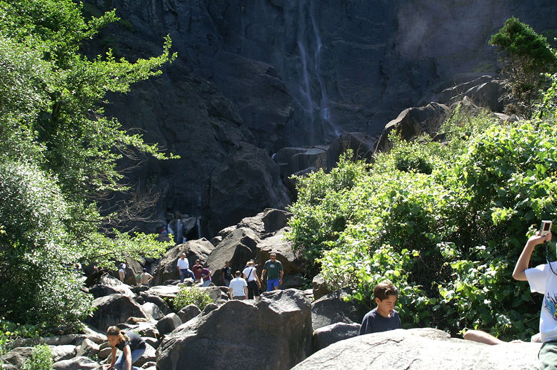
Base of Bridalveil Falls
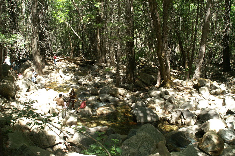
Creek
The paved trail starts out relatively flat, then climbs gently up alongside
the creek. Near the base of the climb we saw two volunteers counting hikers.
We asked how many they'd counted. I don't remember the exact number, but it
was in the hundreds. And that was just for the past couple hours!
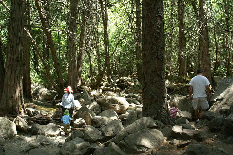
Heading toward the creek
The trail stops where the scree begins. Some people are spread out amongst
the large rocks to get a closer look at the falls, although signs warn of
the dangers. As we found out, late morning is not a very good time to visit
the falls, as the sun stares right at you from the top of the falls. Better
would be early in the morning, or later in the afternoon.
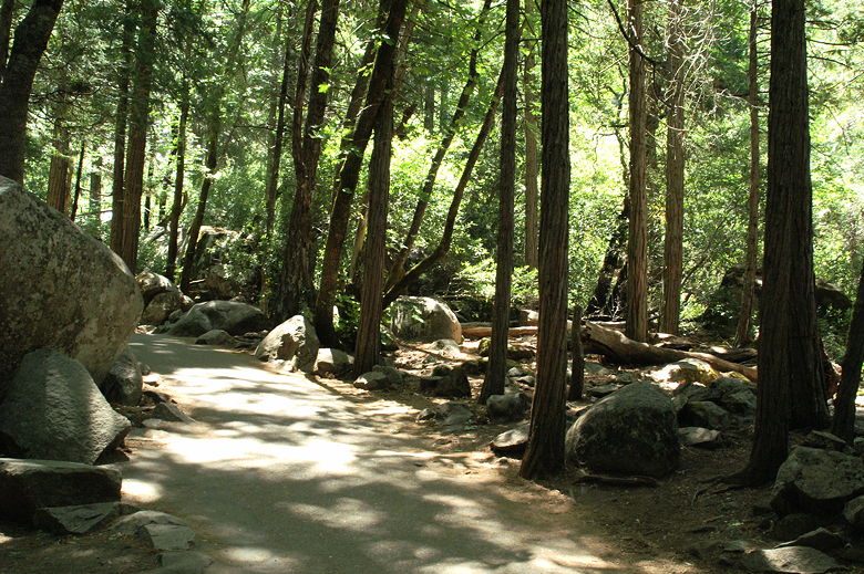
Paved trail
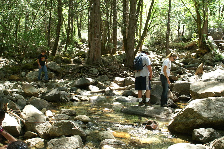
We turned around and walked down a bit, letting the kids play in the quiet
shallow creek, away from the crowds. The creek is probably the best part of
the hike. Perhaps in other years the falls are big enough to be impressive,
but certainly not this drought year.
Creek
| 

