|
I'd read great things about
the falls, but I was expecting to be disappointed because of the dry year. I needn't have been
concerned. You can hear the falls from the parking lot before you see them. From the trailhead,
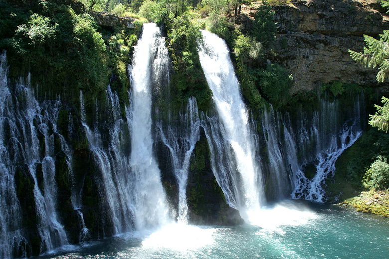
you walk down a few steps to reach an overlook of the falls. The main falls are split in two,
falling 129 feet down to a pool below. But that's not all, as water seeps through the surrounding
walls and adds to the effect, creating a wide cascade.
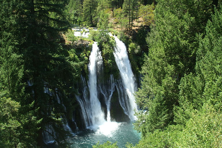
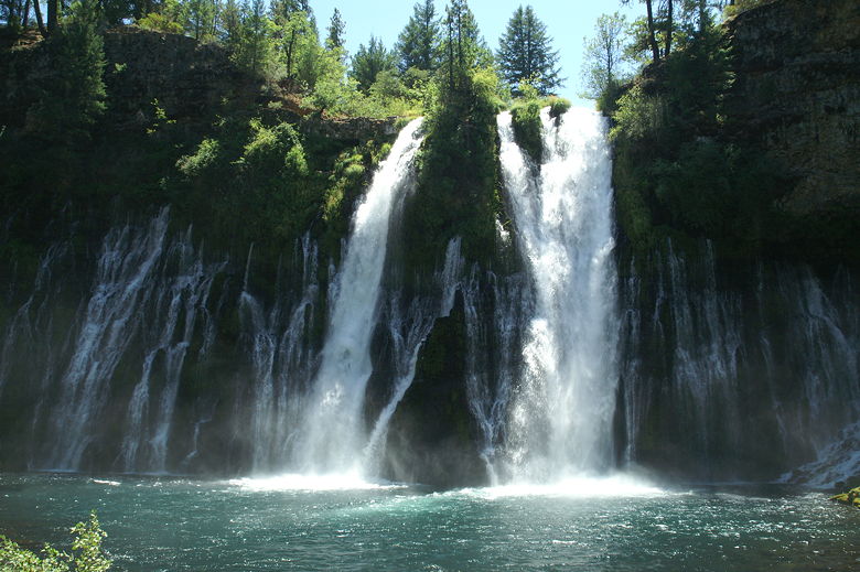
Burney Falls from the overlook (1/20 second exposure)
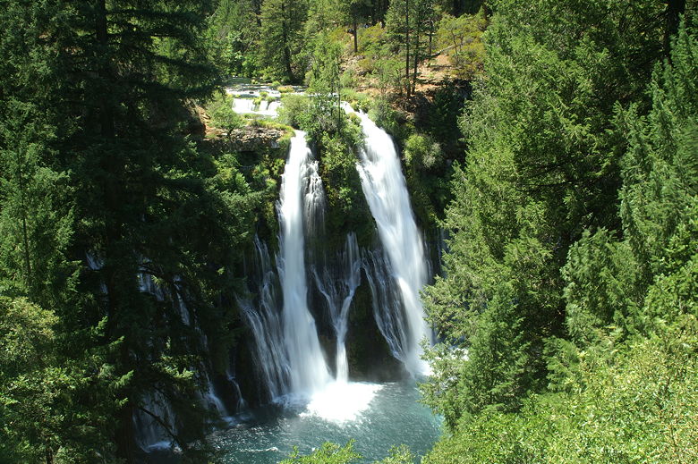
Burney Falls from the overlook (1/6 second exposure)
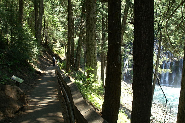
The overlook isn't the best place to view the falls, though. The trail continues down a paved walkway,
then makes a u-turn and continues through the forest toward the base of the falls. It's along this
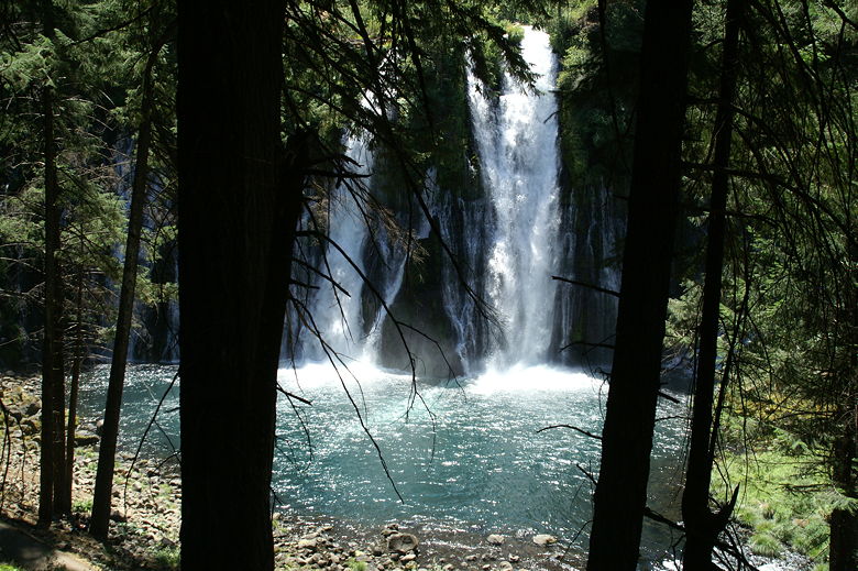
part of the trail where you get your best views of the falls, peeking through the trees. The closer
you get, the better the views. Soon you can feel the mist from the falls. The trail zig-zags
down until it stops at the rock-strewn base. Unfortunately the lighting from here wasn't the
best when we arrived around 2pm. If you want the best view from the base of the falls, you may
want to arrive in the morning or later in the afternoon. I'm not sure how that time difference
would affect the view
from earlier on the trail, however.
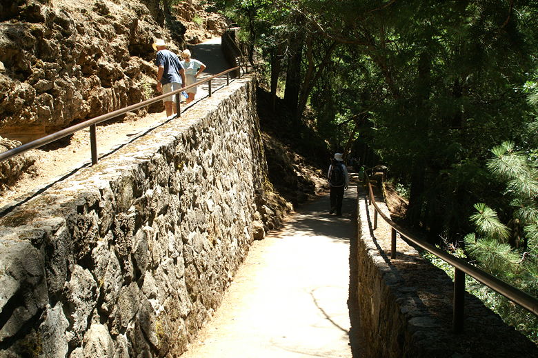
Trail down to the base of the falls
Burney Falls from the trail above
This isn't much of a wilderness hike, as it's paved much of the way, with garbage cans spaced
generously along the trail. We continued along the trail as it follows Burney Creek below the
falls. On the right is a steep talus slope filled with thousands of rocks about the size of
bowling balls. On the left is the fast-moving creek, headed toward Lake Britton. You can
follow the trail all the way to the lake; we turned left and crossed the footbridge to do the Falls
Loop, which is well-signed.
Trail down to the base
Burney Falls
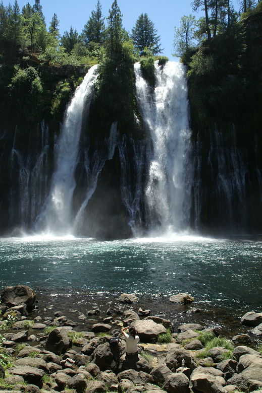
Base of Burney Falls
Burney Falls
After crossing the bridge, the trail is no longer paved. It continues to follow the creek a short
distance. You can continue to follow it along the creek, but we turned left and followed the trail
uphill. The trail heads back toward the falls, but the views of the falls aren't great here because
of all the trees in the way. Once again, you could follow the trail along the creek past the falls,
but we turned left and crossed another bridge upstream from the falls.
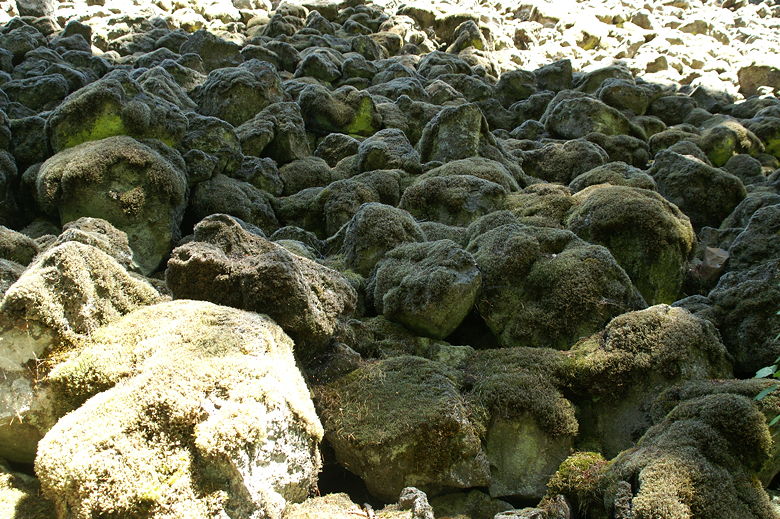
Talus above the trail
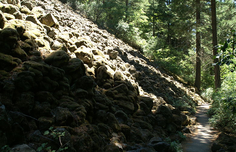
Talus above the trail
After crossing the bridge, we turned left and returned to the parking lot. While the hike experience
probably only deserves a 7 rating, I have to give it an 8 because of the unique beauty of the falls
themselves. To be honest, they were much prettier than any falls we saw in Yosemite a month
earlier. At 129 feet in height, they're not going to win any size contest, but they may just be the
prettiest falls in California. If I'm wrong, please let me know what falls you think beats it so
that I can see for myself!
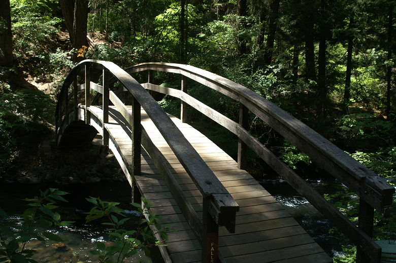
Bridge over Burney Creek
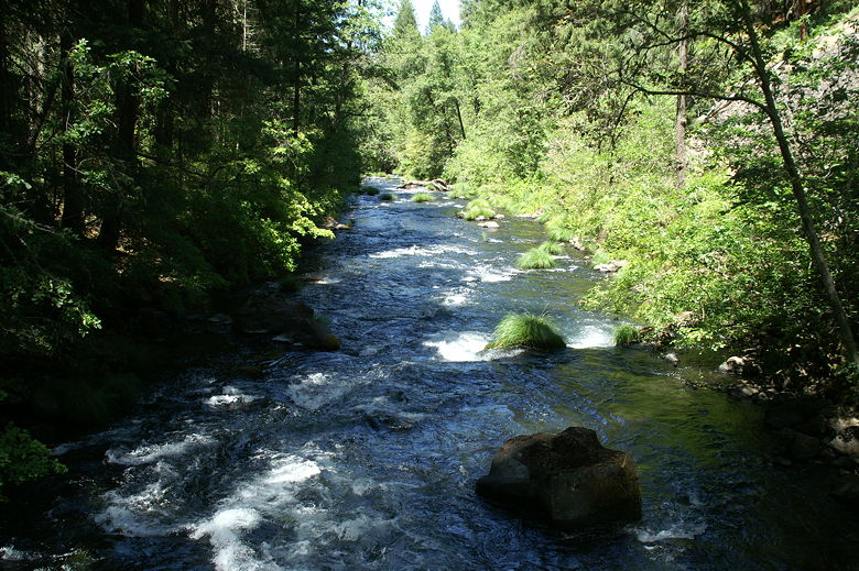
Burney Creek rushing down toward Lake Britton
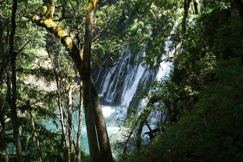
Peeking through the trees at Burney Falls
| 

