|
We started our hike under clear sunny skies. While there were lots of people enjoying
Lake Del Valle (boating, fishing, etc.), very few were taking to the trails. In fact, on
this hike we didn't see another hiker. We would see two pickup trucks and two pairs of
equestrians. Oh, and a couple of cows for good measure, but no other hikers.
After entering the cow gate, we had our first decision. The Ridgeline Trail to the left
and the Lake View Trail to the right. Both are about the same distance (about 0.6 miles)
and both will take you to the same place. We decided to take the left fork, the Ridgeline
Trail.
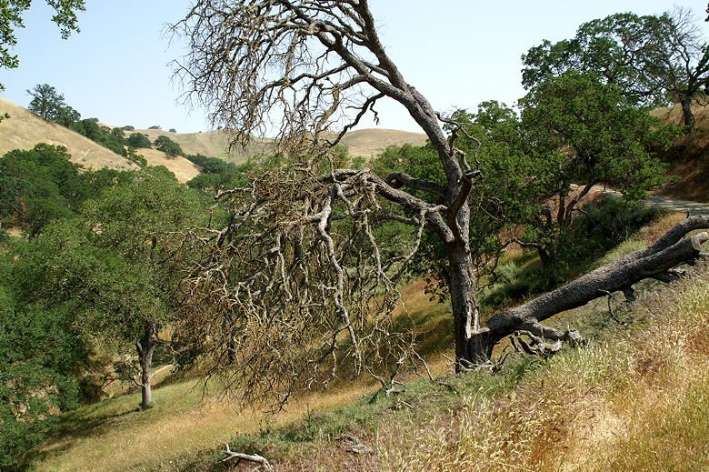
Dying tree next to the Ridgeline Trail
We followed the wide dirt road uphill past green and brown hills filled with wildflowers.
It was only the first weekend in May, but the hills were almost all brown already. This
was probably due to almost no rainfall in the months of March and April, which typically
receive a fair amount of rainfall. Wildflowers of all colors were everywhere, though.
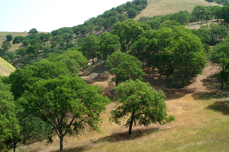
Trees dotting the hillsides
We passed the East Take Trail intersection, veering left to continue on the Ridgeline
Trail. We then came to another intersection with both forks claiming to be the Ridgeline
Trail. This was obviously confusing, so we decided to have lunch here. After lunch we
took the left fork, partly because we saw two equestrians take it. The trail
heads slightly downhill, then passes a small cattle pond and veers left, sharply uphill.
The trail climbs and climbs before topping out and providing a nice view of Lake Del Valle.
You'd think that would be the end of the climbing, but you'd be wrong.
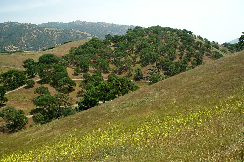
Wildflowers and trees
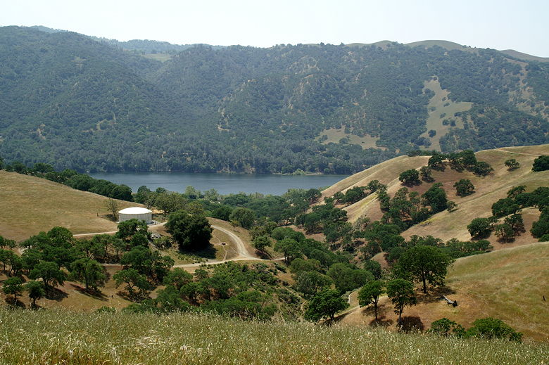
Lake Del Valle
The trail then descends before we turned left onto the Squirrel Gulch Trail. If you have the
time, you can continue straight on the Ridgeline Trail and make a loop out of it including
the East Shore Trail. That would make a slightly more than 4 mile loop hike.
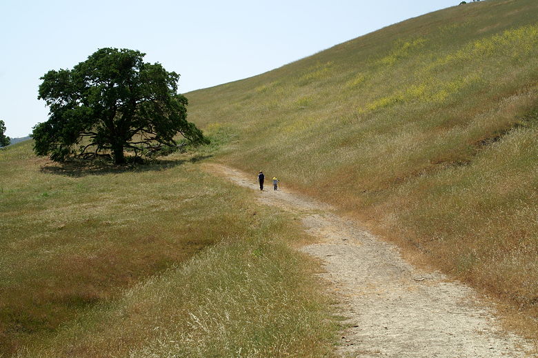
Climbing up the trail
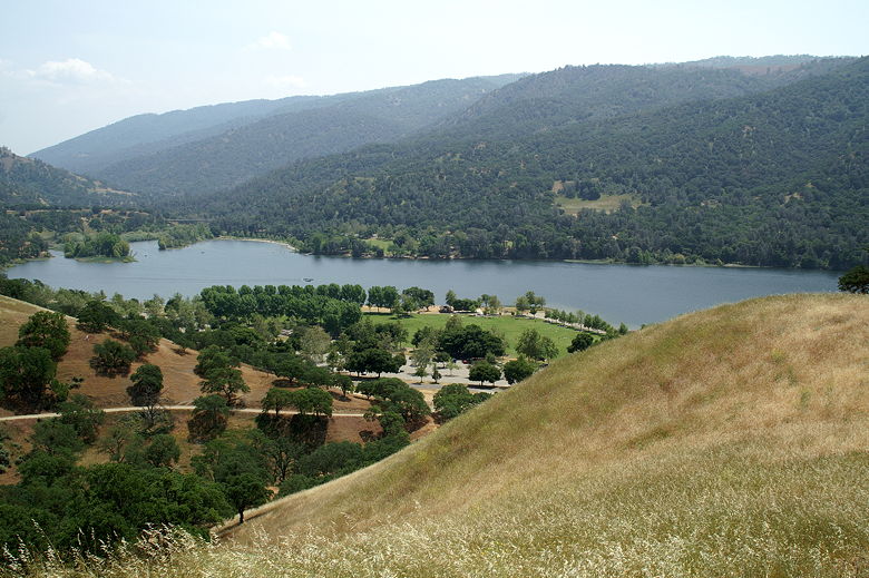
View of the manicured lawns next to the lake
Squirrel Gulch goes up and down before it finally descends *very* steeply to a cattle gate.
We passed through the gate, turned left, then followed the road a short distance back to the
parking lot.
| 


