|
(Note, the GPX file above is incomplete.)
We were staying at site 32 in Cold Springs campground, so we simply walked for 5-7 minutes
to the far end of the campground, site 6, to start the Cold Springs Nature Trail (time,
distance, and climbing numbers start from the trailhead, not our camp site). The start of the
trail was uninviting, as there was a small stream of water running right down the center of
the trail and into site 6. Thankfully, most of the trail was dry, although we did have to
navigate past a few muddy sections.
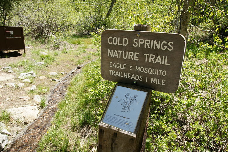
Start of the trail
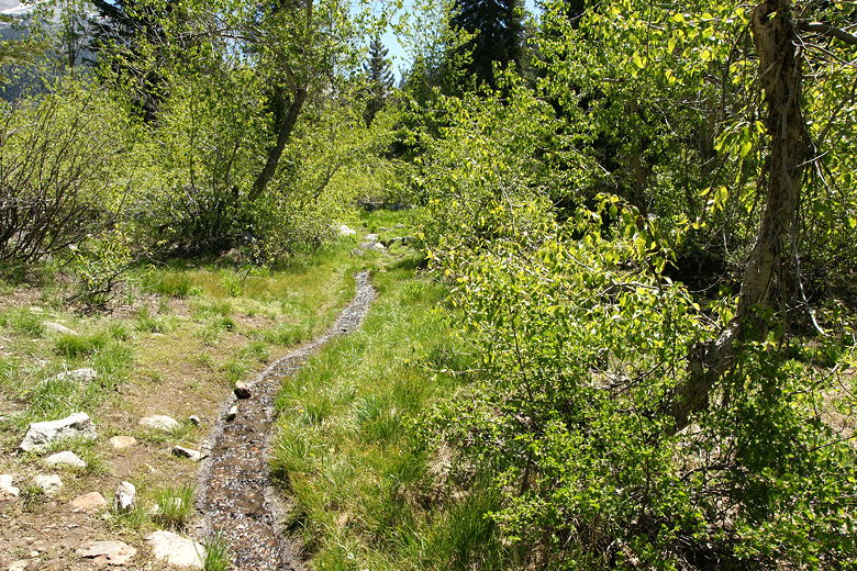
Water on the trail
This was my first hike since buying a Garmin Edge 305 bike computer with GPS. I've had an older
GPS device but never had much luck with it on hikes. I decided to give this newer device a try.
Unfortunately I was not able to get a position lock at the trailhead. I was able to get a lock
later in the hike, so I do have partial data. It's a bit of a mess, so I decided to just create
a Google Pedometer page with the hike:
http://www.gmap-pedometer.com/?r=2001893. Perhaps in the future I'll be able to get a clean GPS history of a hike.
Aspens
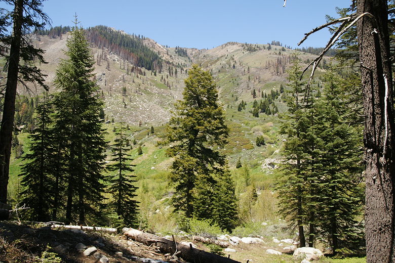
The trail follows the East Fork Kaweah River upstream. There are frequent interpretive signs describing
the flora of the area - cottonwood, aspens, sage brush, Jeffrey Pine, firs, and more. Shortly,
we came to a fork; we took the right fork, which heads slightly uphill. The bottom fork forms a
small loop, so you can take either one without much consequence. After rejoining the other trail, the
last sign you'll see says not to pick the flowers.
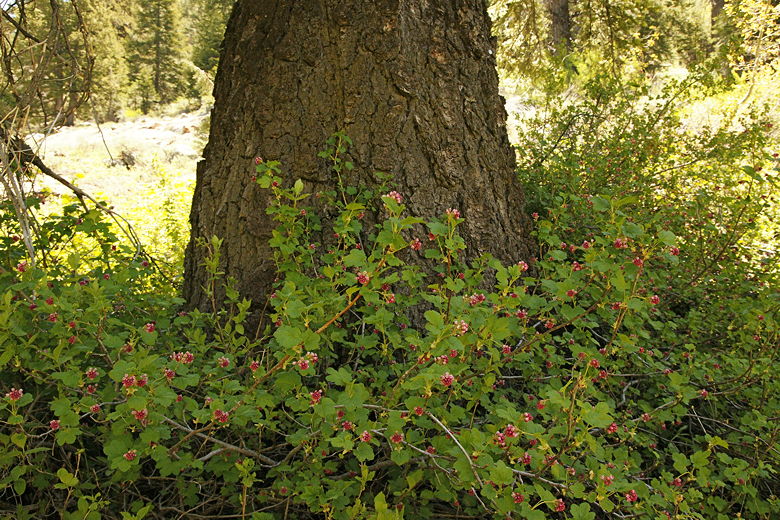
Berries at the base of a tree
There are several places where you can take a side trail down to the river's edge. We took one of
where there was a tiny waterfall. The drop was short, but the water was gushing down. We returned to
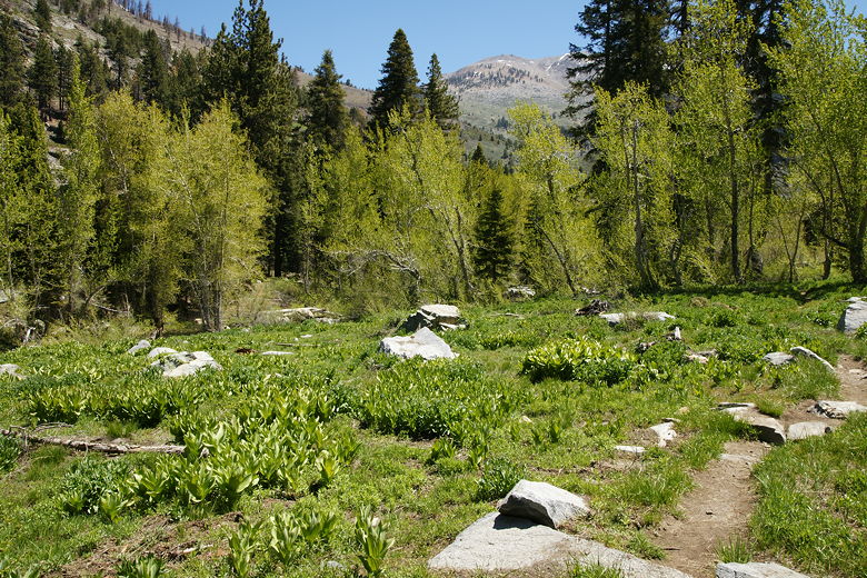
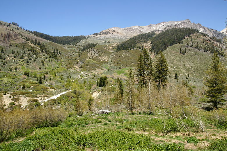
the trail, which started to climb a bit more. As it did so, we were treated to some great views
of the surrounding mountains. We reached a shady spot where there were still some patches of snow,
and we decided to stop for lunch here.
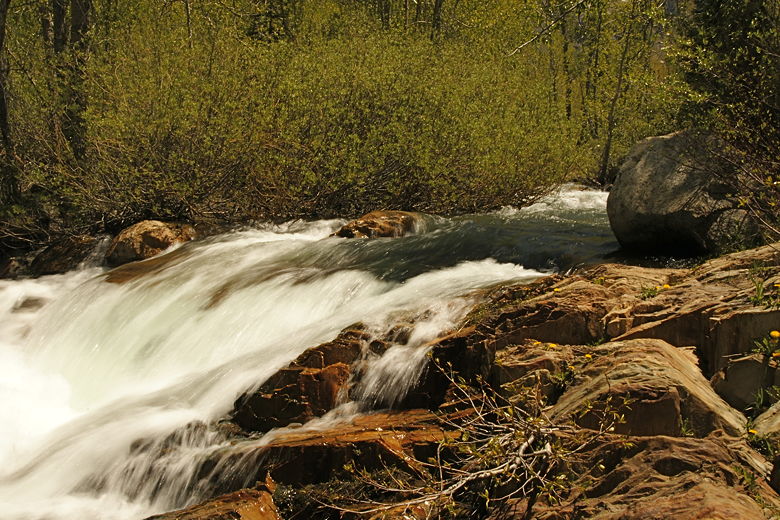
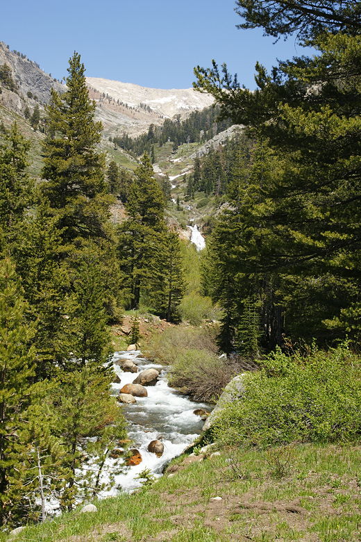
Rushing river
Our lunch stop had a view of a weather balloon on the hills on the other side of the river. I looked
closer and realized there was a road just below the weather balloon. It took me a while to realize that
it was Mineral King Road, which goes past the campground; we'd drive on that road the next day. We saw
several people hiking up the road; in fact, we saw more people than cars on that road.
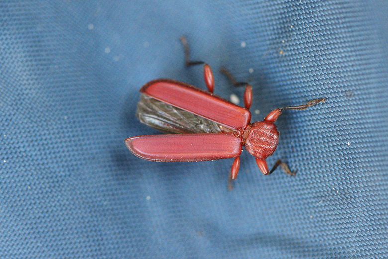
Close-up of bug at our lunch break
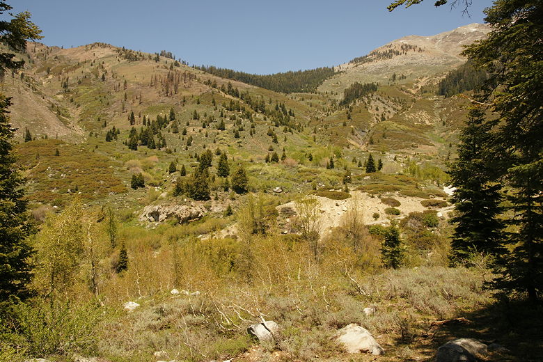
View from our lunch stop
Despite the fact that the nature trail heads right out of the campground, we saw very few people on
our hike. We saw one large group of hikers (about 10) while we were eating lunch, but other than that
it just a scattered few hikers.
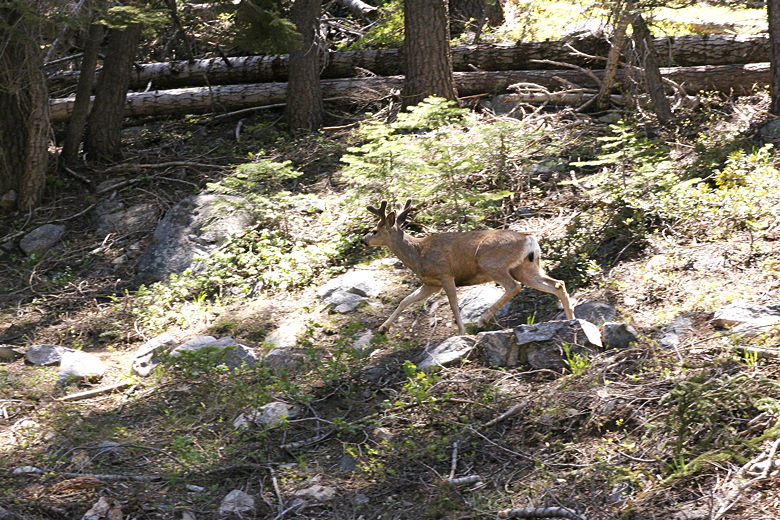
Mule deer running up the trail
View from just above our lunch stop
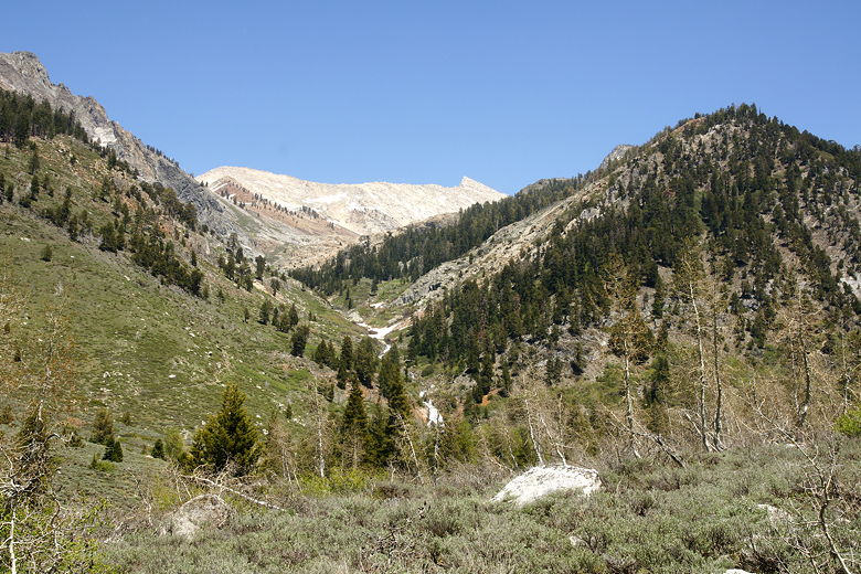
After lunch, we started up the trail. A deer stopped just above the snow patch and dashed down the
trail as we approached. We continued up along the trail, which now provided even better views.
Besides the views of the surrounding mountain, we now had a great view of what I'm guessing is
Black Wolf Falls, halfway up the mountains to the east.
Mineral King Road heading up
Black Wolf Falls
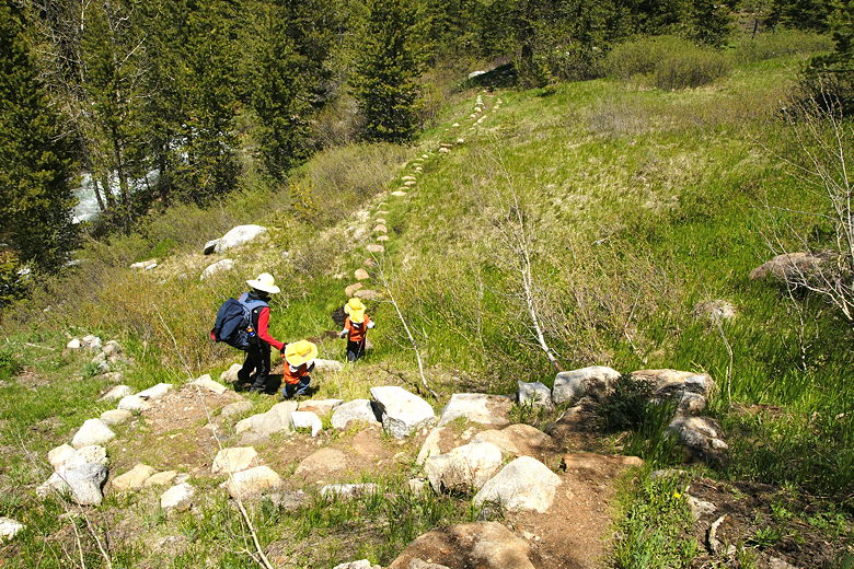
Crossing a muddy part of the trail
Falls and river
After hiking for about four tenths of a mile after our lunch stop, we decided to stop by the river.
We could see a building on the other side of the river. You can actually continue along the trail,
connecting with Mineral King Road and then following it to the end of the road. We decided
to stop and turn around here, since we'd be visiting that area the next day.

Trees on the way back
| 

