|
I picked up a free trail map at the visitor's center, then went outside and started walking
up the crowded Silver Cascade Falls trail starting at Helen Hunt Falls. The flow of
water at Helen Hunt Falls was not impressive; perhaps earlier in the season is better.
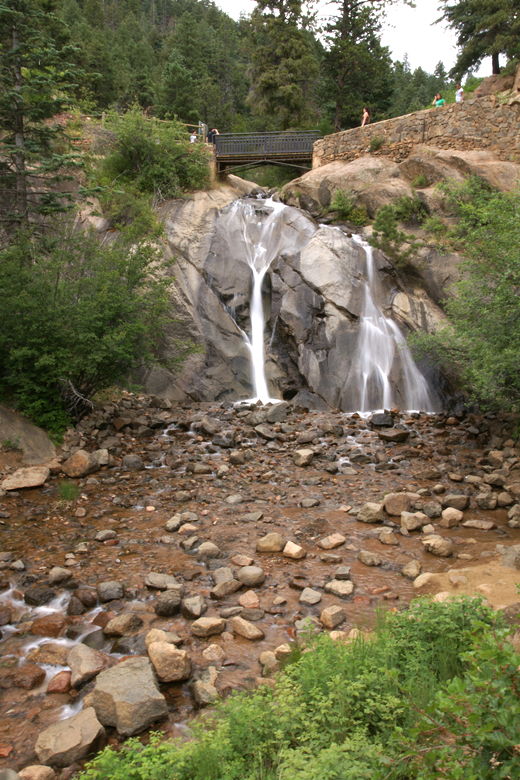
Helen Hunt Falls
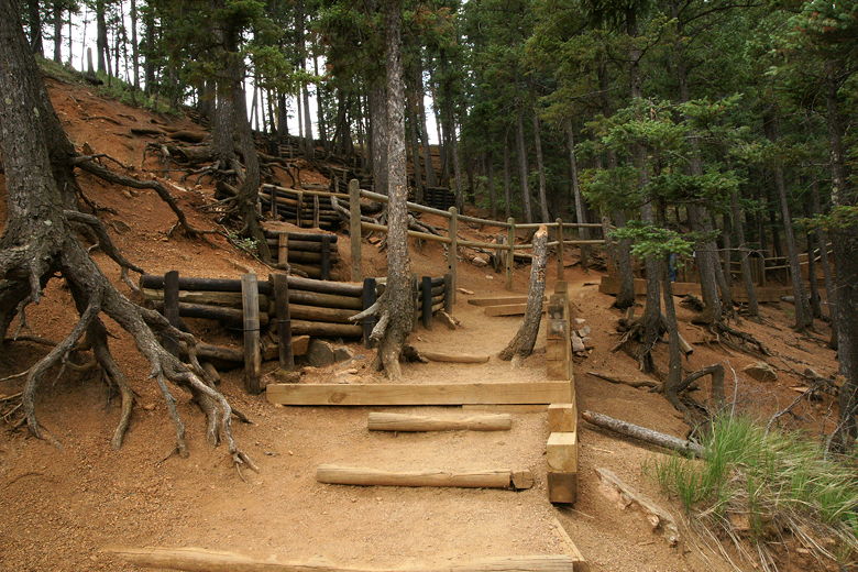
Trail above the falls
The trail crosses over the falls, then climbs steeply, at times on steps framed by logs,
with a wooden fence running along most of the trail.
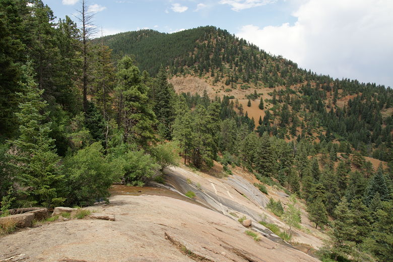
Since it's such a short trail, you'll share it with lots of other people. At the top
are some decent views of the forested mountains below. Silver Cascade Falls, which is located
at the top of the hike,
was really nothing to look at -- just a dribble of water at this time.
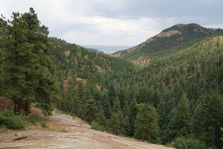
View from the trail
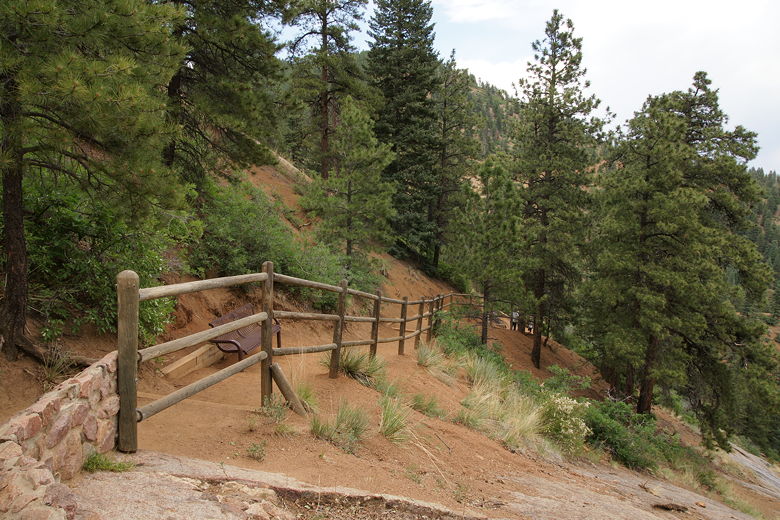
Fence along the trail
Trickle of Silver Cascade Falls
At least I did see a couple of rangers at the top and asked them about ideas on what trail to
take my family on later. They confirmed that the Mt. Cutler trail was probably the best
option.
| 

