|
It started to rain almost immediately after we started heading up the trail. Thankfully,
the rain stopped after a few minutes and there was never any thunder and lightning.
There were a handful of cars parked in the lot, and we encountered a few groups of hikers,
but we generally had peace and quiet on the trail.
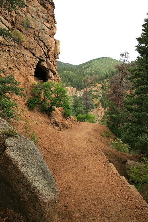
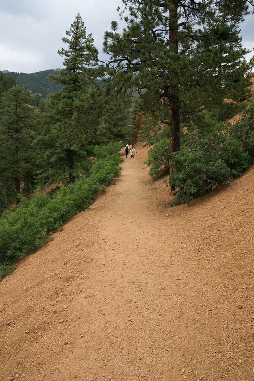
The trail
We actually got here on a fortuitous day, as there was a sign posted at the trailhead warning
that the trail would be closed as of July 7th for maintenance. I'm not sure how long that
maintenance will last, but there's a chance the trail may be closed when I first post this
on my site.
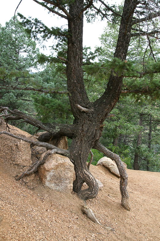
Tree looking like it's on its tiptoes
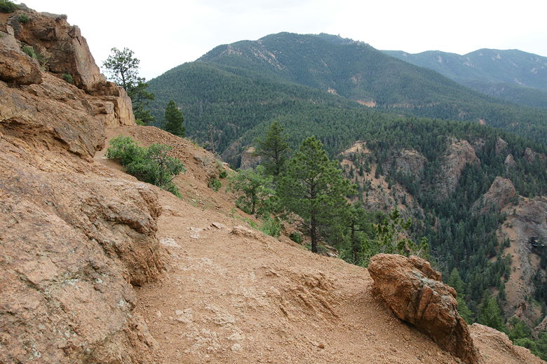
The trail climbs fairly steadily. There are interesting rock formations and dense forest
all around. The trail is a bit slippery at times, as it is filled with small rocks.
Our kids fell many times, and there is a steep drop-off on the side of the trail. You'll
have to keep a close eye on kids on this trail, or they might slide down the hill a bit.
Nothing life-threatening in most places on the trail, but they would not like a fall here.
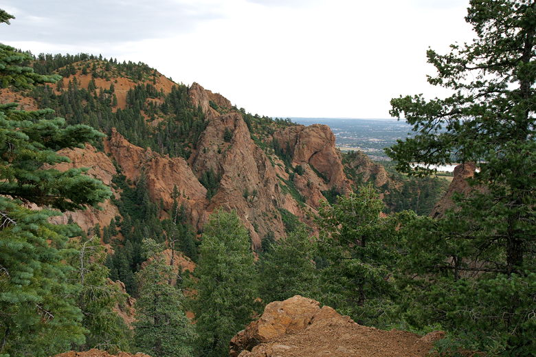
View of the red cliffs
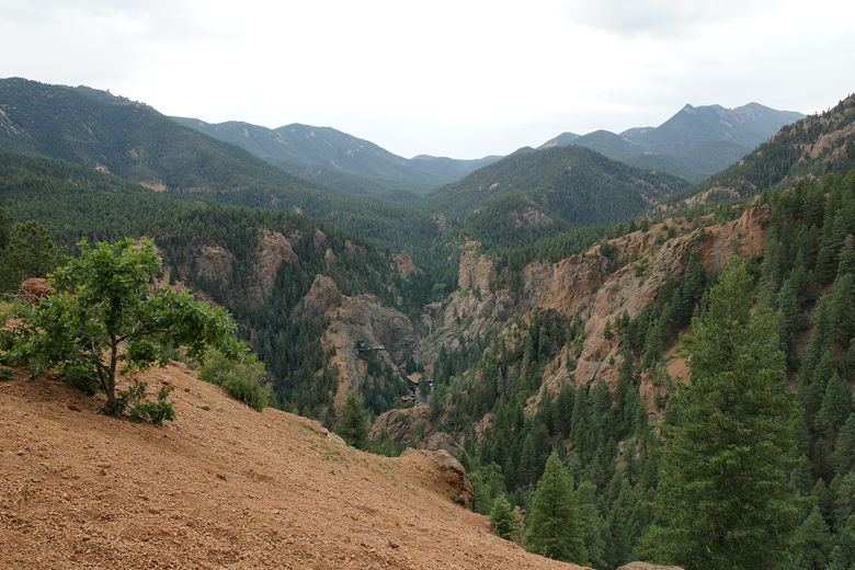
We climbed some more and were rewarded with views of the red cliffs on the other side of
Cheyenne Canyon. We then continued along the trail. Shortly, we were rewarded with
even better views to the west. There were forested mountains and, in the distance,
Seven Falls. The falls are a tourist destination, with an elevator that goes to the top of
a viewing area.
You probably can't tell, but that's Seven Falls in the middle
Narrow section with steep drop-offs; hang on to the kids!
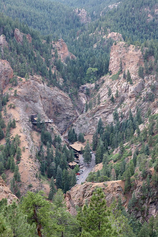
Seven Falls
We turned the corner and were greeted with the best views yet, including a view of the city
of Colorado Springs to the east. The trail keeps on going, though, so we did too. The trail
climbs a bit more before it reaches the summit of Mt. Cutler. Unfortunately, it was
extremely windy
at the top -- so windy, in fact, that I didn't feel safe taking my camera out to take pictures.
That's never happened before. It was amazing how much wind blew here. We turned tail and
headed back down to the spot with views of Seven Falls and Colorado Springs; there was almost
no wind here.
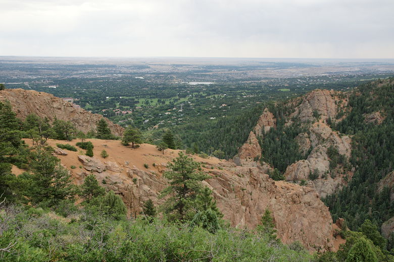
View of Colorado Springs
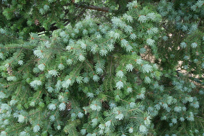
New growth
While we enjoyed a brief break, we could hear the sound of music coming from the mountains
across from us. It looked like there was some sort of cathedral there, probably off of
Old Stage Road. After our break, we headed back down the mountain.
Heading back to the trailhead
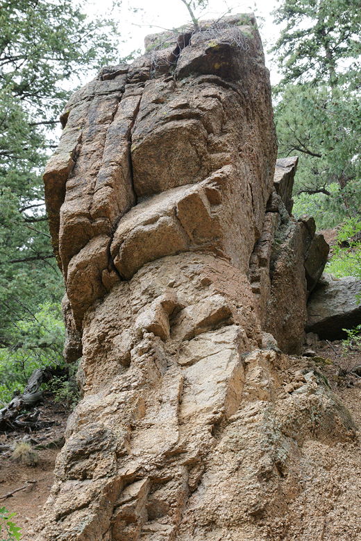
If you look closely, you can imagine a face near the top
| 

