|
After a morning of snow, we managed to sneak in an afternoon hike. The skies were still a
bit overcast, but without much threat of further rain. Everyone else seemed to have the
same idea, as many other people joined us out on the trail. The small parking lot next
to the river was nearly full.
There are pit toilets at the trailhead, but I didn't notice any drinking water. There's also
a box of trail guides, 50 cents each. It contains a description for the 18 numbered signs you'll
find along the trail. I picked up a guide and we were on our way.
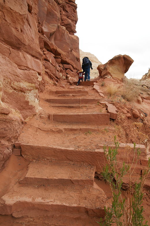
Heading up the steps shortly after the trailhead
The trail climbs immediately on some steps next to a mountain face. There isn't much in the way
of views at the start, but that quickly changes, as you gain a bit of altitude and break out
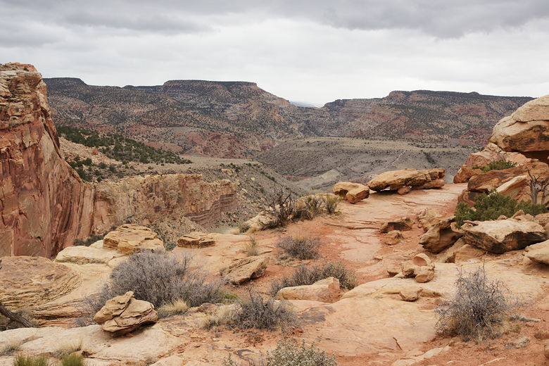
so you can get views to the north and east. Highway 12 flows off to the right, carved between
the mountains.
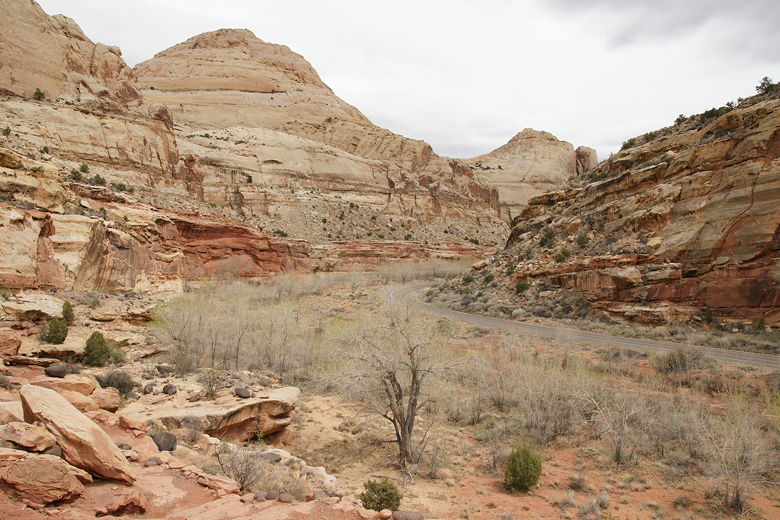
Highway 12 winding through the mountains
A series of switchbacks on the left now leads up to a plateau, where there are more views to
the north, and a view directly across the road to Capitol Dome. Here you'll also see the
remnants of volcanic rock at your feet, distinctively black against the rest of the
environment.
Volcanic rocks
There's a trail intersection which says 0.7 miles to Hickman Natural Bridge, with a different trail
heading off to the right. We took the left fork to continue to the natural bridge. The trail
climbs a bit before actually going downhill for a brief stretch before climbing again. Around
sign number 11 or so there's an interesting place with a cave of sorts, except the top of the cave
has holes in it and you can look down through those holes from the trail.
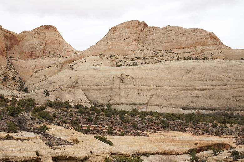
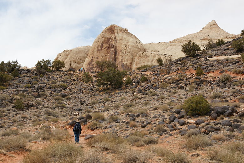
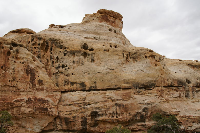
Rock mountains
Between signs 14 and 15 is another trail intersection. Both forks are part of a loop to the
natural bridge; the sign says to use the right fork, which we did. Shortly after that, we
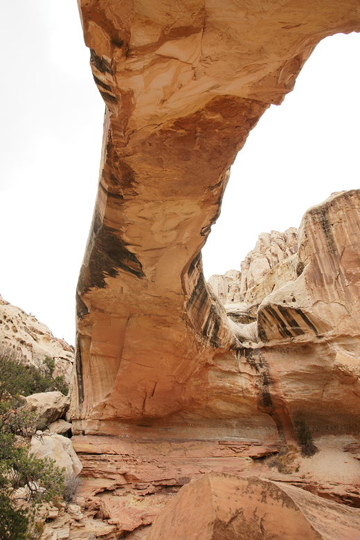
saw the natural bridge to our left. It is larger than Delicate Arch, and is not a free-standing
arch but really, a bridge. Unlike Landscape Arch, it doesn't look like it's going to fall over
any time soon -- it looks solid.
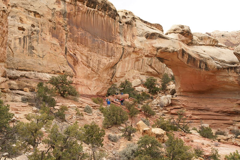
First view of Hickman Natural Bridge
Hickman Natural Bridge
There were lots of people under the bridge, and I waited so I could take my pictures. As we
sat down and had a snack, most everyone else left, leaving us to enjoy it to ourselves.
Well, ourselves and a lone chipmunk who scattered across in front of us.
Looking up at Hickman Natural Bridge
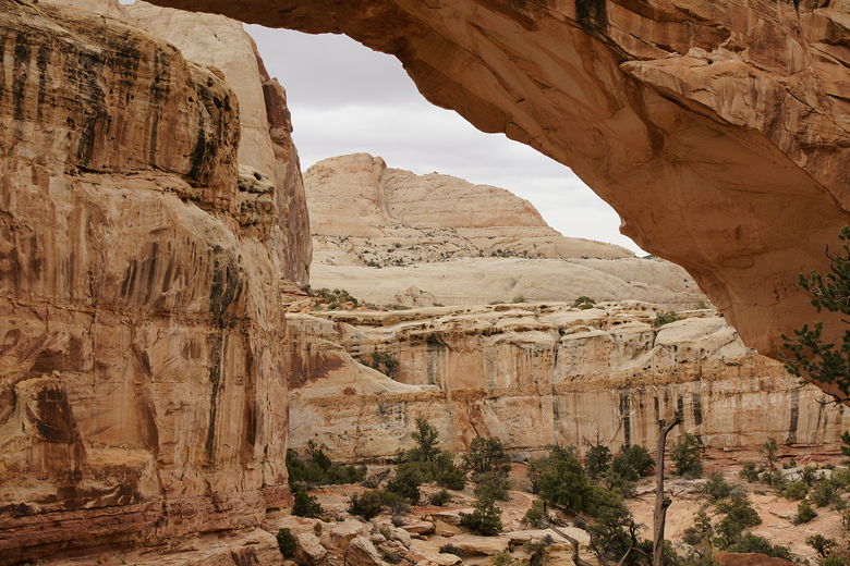
Looking back from the other side of Hickman Natural Bridge
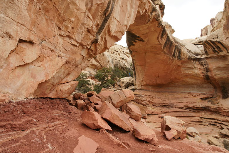
I made sure to step on the rocks as I took pictures of the arch from the "back", trying not
to step on any cryptobiotic soil. After our break we continued along the trail, which loops
around back to the main trail between signs 14 and 15. Then we returned the rest of the way
we came.
Looks like a rusted old ship to me
View from the trail
Strangely, it wasn't until we got back to our cabin that night that I realized that the
picture hanging on the wall was that of Hickman Natural Bridge. That should be a sign that
it's one of the most popular hikes in the area.
| 

