|
We were still getting used to the hour time difference, so we got a late start, leaving
Provo around 11:20am. My first comment about using a GPS to navigate a car is that it makes
me lazy. Usually I'll get maps beforehand or at least use Google Maps to map out a route.
Not this time. The GPS made me lazy, and that can be a little dangerous. I was very
aware that it could be leading me up into snowy mountains today (it was already raining),
but I just decided to go with it.
And lead us up over snowy mountains it did. We took Interstate 15 south to Highway 89 south, and
then Highway 6 east. This took us up and over Soldier Summit, just under 7500 feet in
elevation. The rain by this time had turned to snow. The snow was coming down, but the
road surface was good and not icy. I was happy that chains weren't
required; not sure what we would have done if they were. Alternative routes would add at
least an hour, and might have required going over other snowy mountains anyway.
We made it up and over the summit, and then descended down to Green River where we stopped
for lunch and some gas. By this time the snow/rain had stopped. From here it was a short
drive along Highway 6 and then down 191 toward Arches. The GPS was confused about the
entrance leading to Arches National Park, telling me to turn left when there was nowhere to
turn. A mile later, I saw the road sign and turned left into the park. Most likely the
entrance road is relatively new and isn't yet reflected in the maps on the GPS.
The sun started to come out as we drove along the park road toward our campground, about
30-40 minutes (and 18 miles) away. We stopped at the Moab Fault overlook for some pictures,
then continued along without stopping. It was getting late in the afternoon and we wanted to
set up our camp. We did enjoy the scenery along the drive, however. The drive from the Park
Ave. trailhead to the Courthouse Towers and a bit beyond is beautiful. Towering rocks and
interesting rock formations lined the road. Some of it is reminiscent of the beauty of
Bryce Canyon.
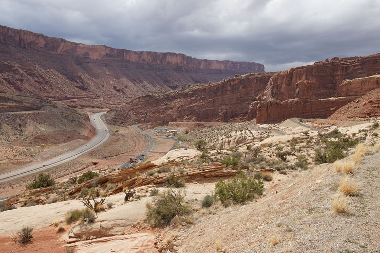
View from Moab Fault overlook
We got into the campground at 4:10pm, after about 3 1/2 hours of driving from Provo. It's
called the Devils Garden campground, situated at the end of the park road. I'd made
reservations months earlier, and it was completely full now (about half of the campground is
reservable, and the other half is first-come first-served). Reservations are highly
recommended, since there aren't any other camping options in the park.
We unpacked the boxes we'd picked up from the UPS Store and were met with the awful
sight of styrofoam peanuts blowing out of the boxes. I'd made the mistake of leaving my gear
with the UPS Store in the Bay Area and letting them pack it instead of packing it myself.
Unfortunately they wrapped everything in plastic and padded it all with styrofoam peanuts.
Such a waste, especially considering it was all camping equipment, sleeping bags and pads
which didn't need such babying. We had the kids chase down the styrofoam peanuts while we
set up our camp in a slight drizzle.
Devils Garden Campground
We eventually did get our camp set up, and the rain stopped. I bought some firewood from
the campground host, but there wasn't much left. Apparently they'd missed a shipment and
they wouldn't get more wood until Monday. But at least they did have some wood for sale.
If you want to be safe, you could always buy some in Moab before entering the park.
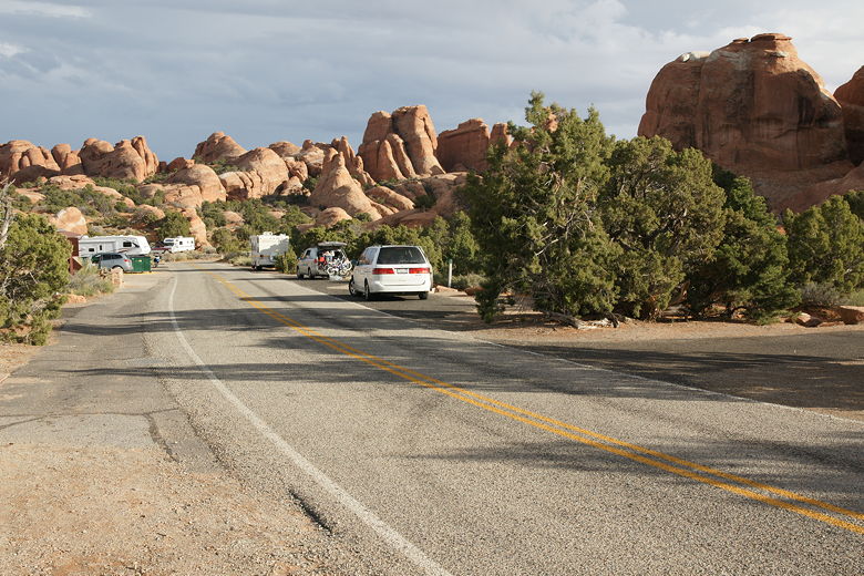
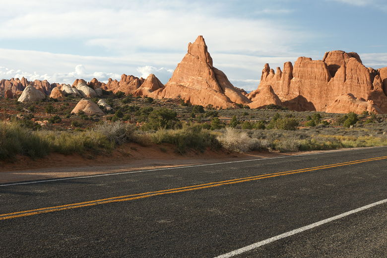
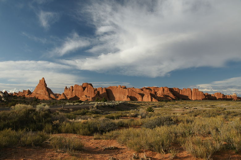
We had a little time before dinner, so I drove over to the Devils Garden trailhead to take
some pictures. Then I continued to the Sand Dune Arch trailhead to take more pictures.
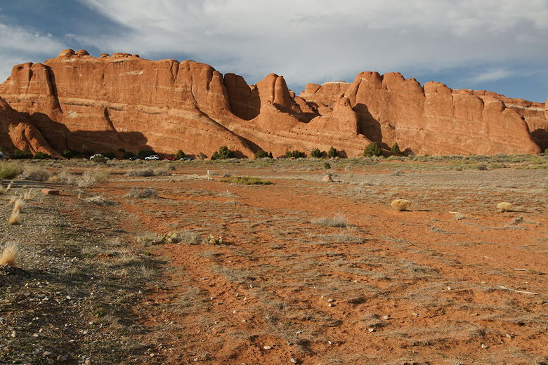
Fins at Devils Garden trailhead
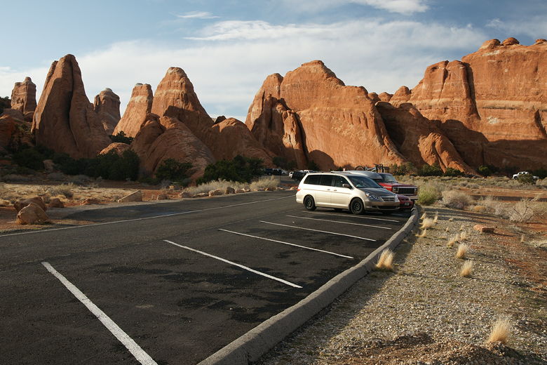
Devils Garden trailhead
View from Sand Dune Arch trailhead
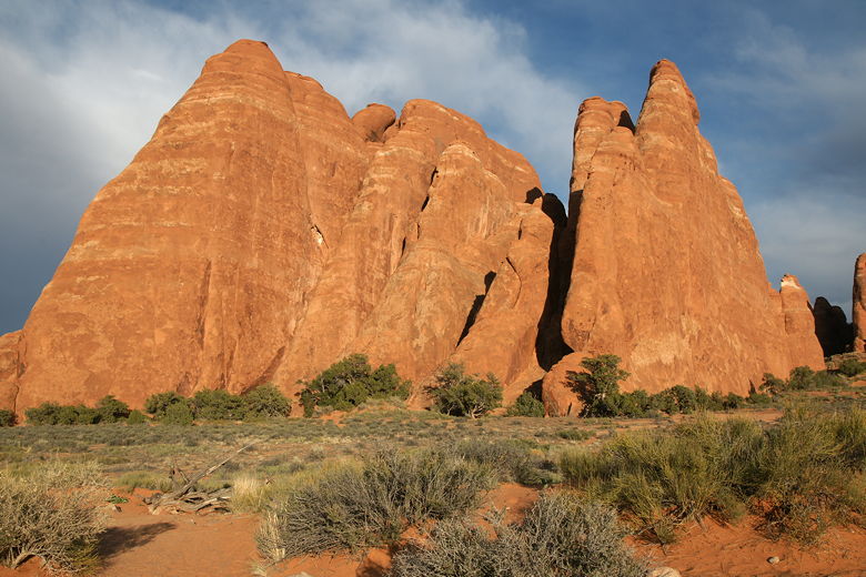
View from Sand Dune Arch trailhead
View from Sand Dune Arch trailhead
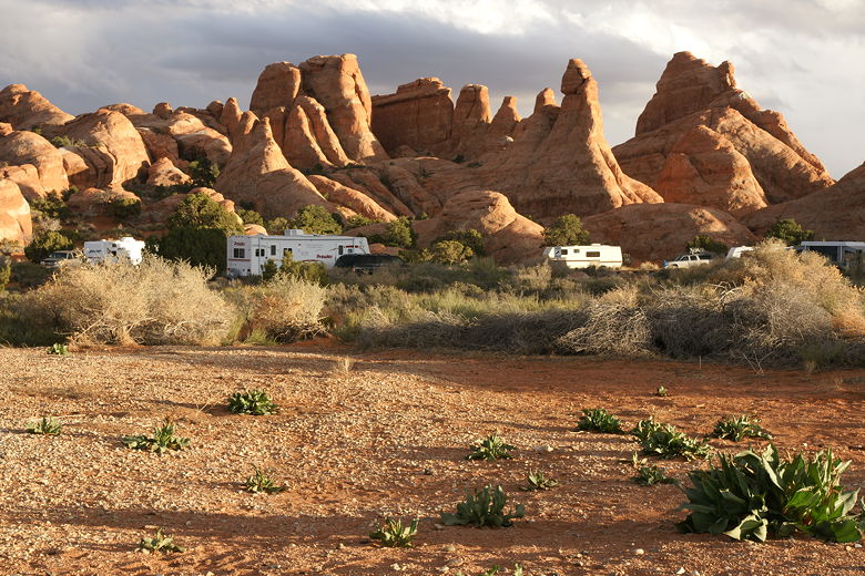
Devils Garden campground
After dinner we settled into our tent for the night on this cold but thankfully dry night.
| 

