|
They don't call it Mosquito Flat for nothing. The bugs came after us as soon as we got out of the
car. DEET seemed to work just fine, though. While we were waiting it even sprinkled a bit, but
it stopped by the time we were ready to hike.
Perhaps it was the overcast skies that kept people away, or maybe it was just the fact that it
was a Tuesday. In either case, the large parking lot was less than half full, even though we didn't
get started on the hike until about noon.
Roads like Whitney Portal Road and Glacier Lodge Road provide dramatic views as they
snake up into the eastern Sierra. Rock Creek Road, on the other hand, did not. The road goes
up a narrow forested canyon with little in the way of views. What lies at the end of the
road, however, more than makes up for it.
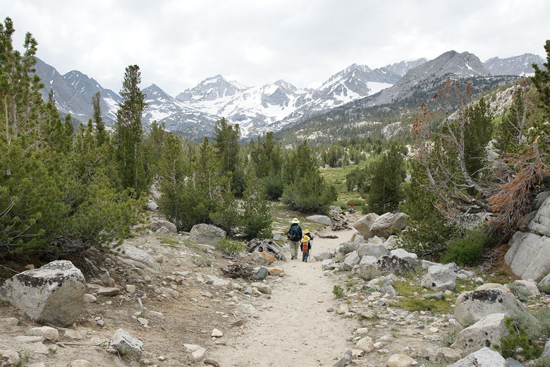
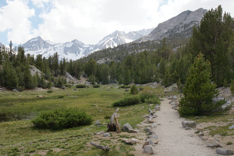
The Little Lakes Valley trail starts off next to Rock Creek, slightly uphill and straight. Our hike got off to an
inauspicious start, as 5 minutes into it I realized I'd left my tripod in the car. I turned around,
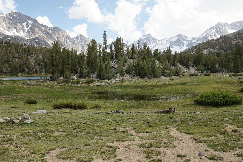
retrieved it, and caught up to the others. The trail starts to climb a bit more, but it's never
steep. The creek, while flowing briskly at points, was in general very serene.
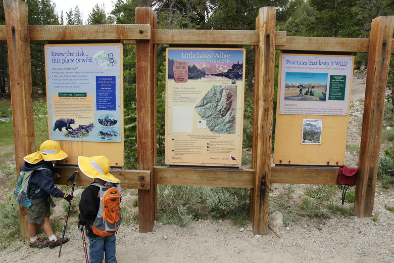
Little Lakes Valley trailhead
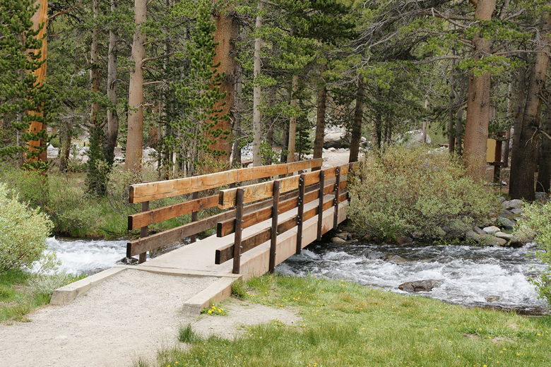
Bridge over Rock Creek near the trailhead (we didn't cross bridge)
There are some sections of the trail with rock steps, but again it's never really steep. Also,
despite my concerns because of the trailhead elevation (nearly 10,000 feet), there was never any
snow on the trail to contend with.
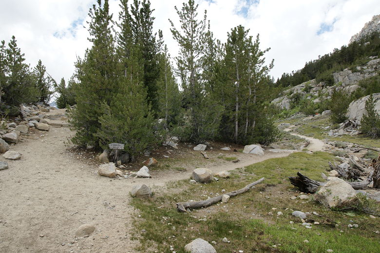
Soon enough we came to a trail intersection. The right fork leads to Mono Pass. We continued
straight on the left fork, signed for Morgan Pass. Very soon after this we veered left off the
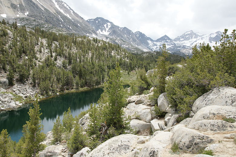
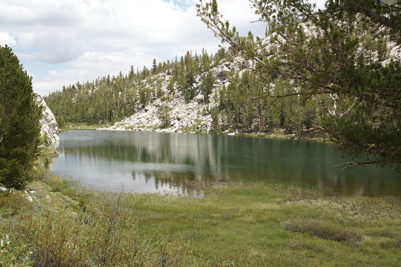
trail to an overlook of Mack Lake. From this vantage point the narrow lake sits perhaps a
hundred feet below, and displays a beautiful dark green color. It's a beautiful sight. We
met some other hikers here who were coming the opposite direction, having hiked out to
Long Lake. Our destination today would be Heart Lake, but there's a procession of lakes
past that including Box Lake, Long Lake, Chickenfoot Lake, and several smaller lakes up and over
the pass.
Mono Pass trail intersection
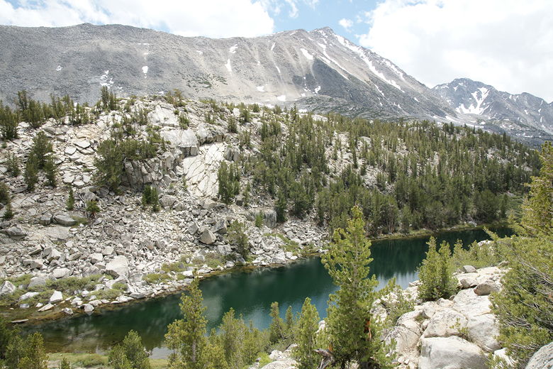
Mack Lake
Mack Lake
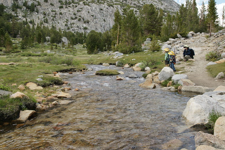
From here, the trail descends just a bit. While there was no snow on the trail, there was water
on the trail here and there, but nothing we couldn't just walk through or step on rocks over.
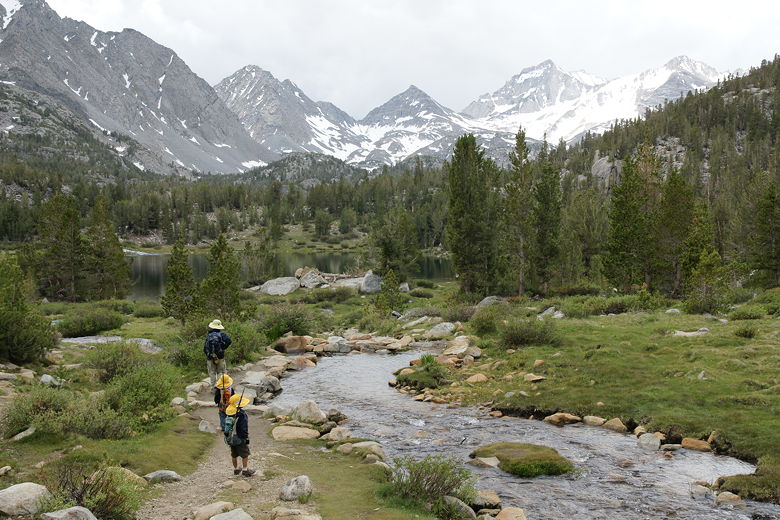
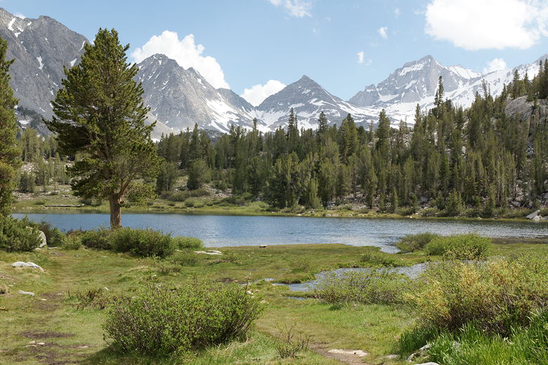
As we continued up the
trail, we had views of triangular-shaped snow-covered mountains looming to the south.
Trail between Mack Lake and Marsh Lake
Trail heading up the valley
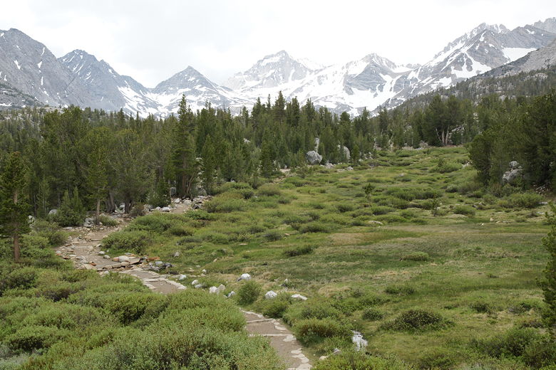
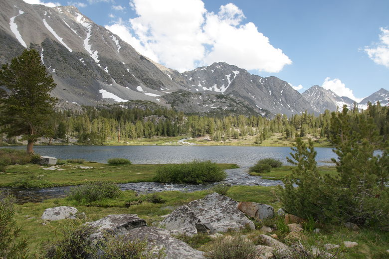
Next up, we saw a spur trail leading to the left and Marsh Lake, barely visible around a small hill.
I knew we were close now, so we didn't stop here. We kept going past the meadow next to the lake
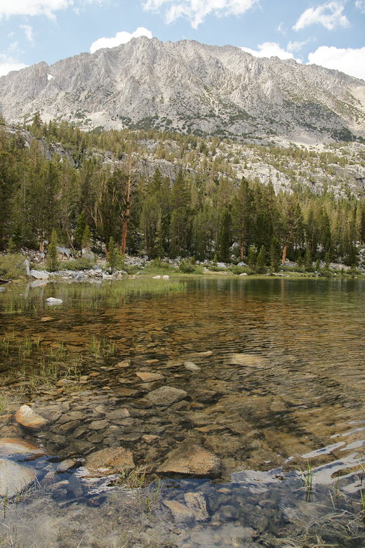
and very shortly had a beautiful view of Heart Lake in front of us. We now had the triangular
snow-covered mountains in the background, the lake in front of it, and a bubbling inlet stream
coming down from the right. It's a beautiful sight reminiscent of the area just north of
Rae Lakes. This sight alone makes this hike deserving of the 9 rating (and I even thought about
giving it a 10).
Crossing some water on the trail
Looking back at Marsh Lake
Inlet stream leading to Heart Lake
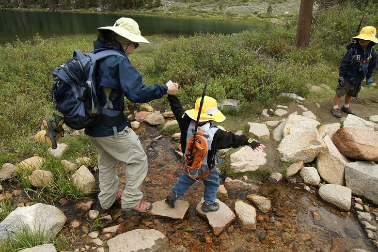
Crossing the inlet stream is perhaps the biggest difficulty you might face on this hike. It's easy
enough for adults, but small children will need help to get across. With not too much difficulty,
we got them both across. Then we walked down to the lake to find a place for lunch. Unfortunately,
what looked like the best spot was already taken by a small group fishing, and we didn't want
to contend with them. We walked a little further along the shore before finally settling down
on a nice spot on the southern shore.
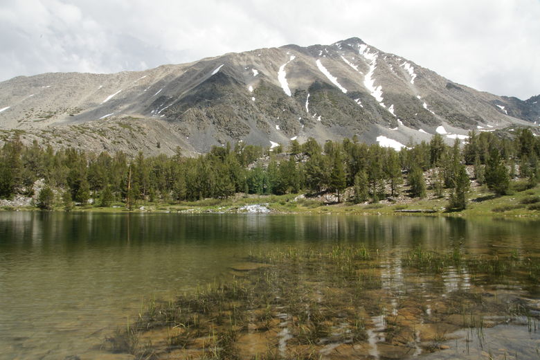
Mountain above southeastern shore of Heart Lake
Mountain above southwestern shore of Heart Lake
We set our tarp on the ground and I started taking pictures as I usually do. Then it started
to sprinkle. Unconcerned, I snapped away a few more shots. Then it started to rain. A little
more concerned, I thought maybe we should put our tarp underneath the trees (away from the lake
shore), to get a little shelter. As I did so, it started to hail. We used two trees and two
trekking poles to turn our tarp into a makeshift shelter from the rain. Of course, by the time
we got it up a few minutes later, it had stopped hailing, it had stopped raining, and in fact
the sun had come out.
It never even threatened to rain again the rest of the day.
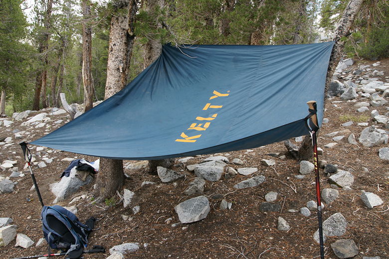
Impromptu rain shelter
We now enjoyed our lunch. I took a lot more pictures. We skipped rocks on the idyllic lake surface.
I'm sure this is a very popular hike on weekends, but on this Tuesday it was not that bad. There
were certainly other hikers (and a few dogs) on the trail, but it never felt too crowded. There were perhaps
8-10 other people at the lake while we were there, and they were on the far shore. We had our
section all to ourselves, out of hearing distance.
Heart Lake from the inlet stream
Heart Lake from the inlet stream
Heart Lake inlet stream
After our break, we returned the way we came. As we crossed the inlet stream again, I thought to
myself that it would be a great place to just lie down and take a nap, the soothing sound of the
water next to us. Then I looked across the stream toward the hills to the west and saw someone
already doing just that, taking a snooze on the inviting grassy area away from the lake.
Trail near Marsh Lake
Marsh Lake (on the left)
Another thing that came to mind is that this might make a nice short backpacking trip. Even if you
can only do 3-4 miles a day, you could hike in to, say, Chickenfoot Lake, then hike out the next
day. Or hike in, do a day hike from there, then hike out the third day. Perhaps I'll try that
in the future.
| 

