|
The small parking lot has space for about 10-12 cars, but there were only 3 or 4 other cars
when we arrived in the late morning. There are picnic tables here, a restroom, and a bear box
to put your food in while you hike (don't leave food in your car while you're gone).
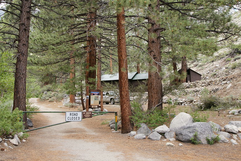
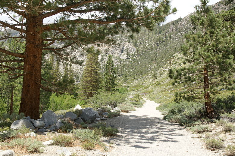
Trail starts on the other side of the gate
Start of the trail
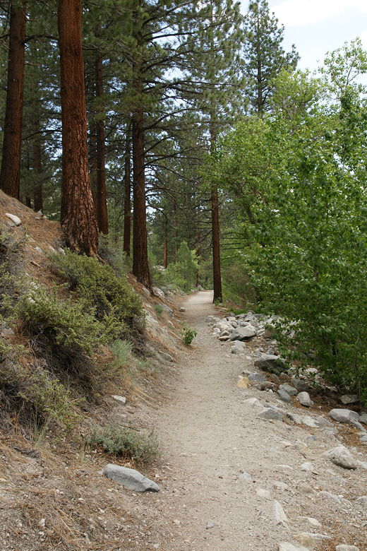
We walked past the gate at the end of the road, and followed the wide dirt road past several
cabins on the right. The creek flowed quickly past us on the left. Shortly, we came to a myriad
of trail signs which directed us to stay on the narrow hiking trail, rather than get sidetracked
onto one of the private dirt roads. The trail then switchbacks up to a foot bridge over the
First Falls of the north fork of Big Pine Creek. The water came crashing down on our right
as we crossed the bridge.
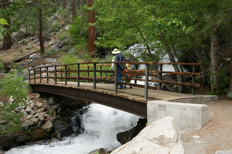
Bridge over First Falls
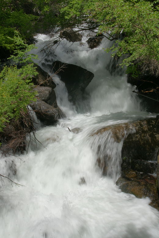
First Falls
Very shortly after the bridge, we had our first look at the Palisades, rising up to 14,000 feet,
at the far end of the south fork valley. We also very shortly came to a trail intersection.
The trail continues straight into the south fork valley. We turned right, heading up the
switchbacks toward the north fork valley.
South Fork valley
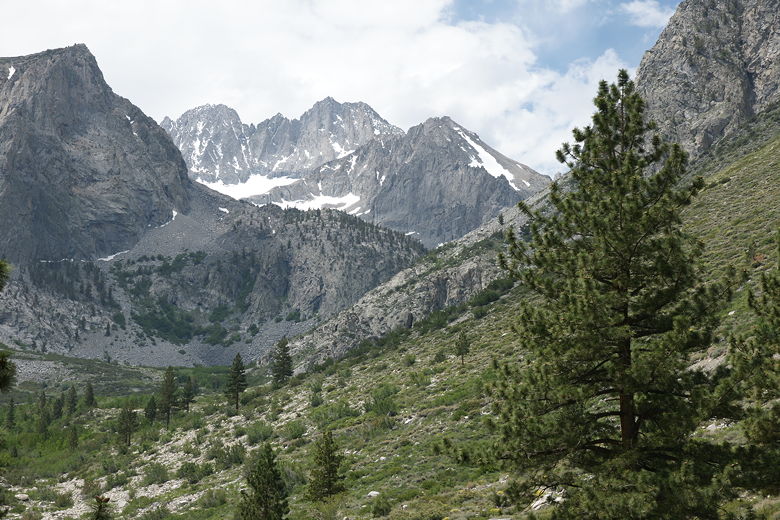
Palisades at end of South Fork valley
We had brief glimpses of the creek through the dense brush, not quite a waterfall anymore but
definitely not horizontal, now on our right. We passed lots of wildflowers, including
irises, lupine, columbine, and Indian paintbrush. We also saw a few ladybugs and lizards.
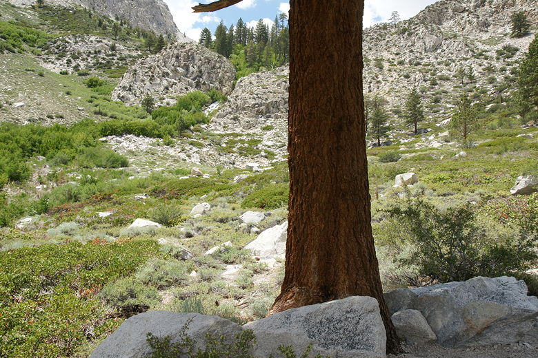
After a bit of climbing the trail flattens out and then crosses over the creek again.
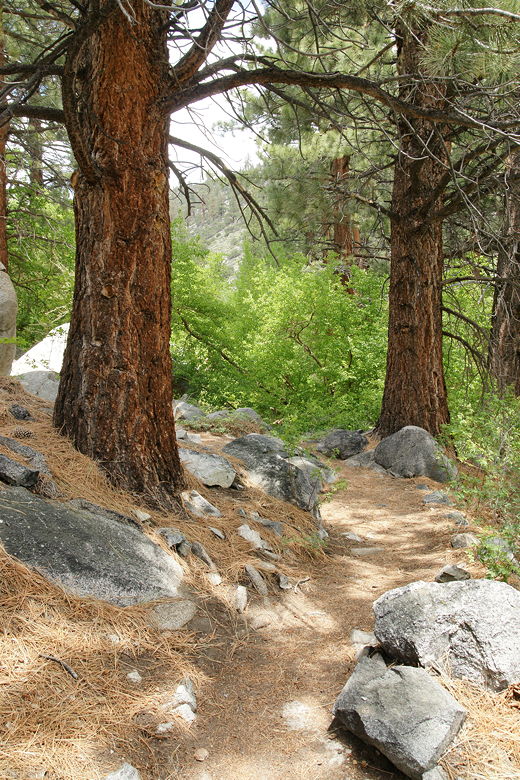
Pine trees next to the trail
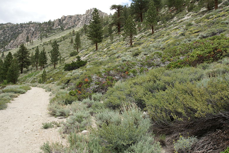
After crossing this second bridge over the creek, we made a left turn onto the wide trail (and former dirt
road). A second trail roughly parallels this trail, a bit higher up the valley. As we continued
along the wide trail, we noticed a few short spur trails down to the creek on our left. The
shore is densely forested, but the main trail itself is completely unshaded. The less densely
forested mountains slope up to the right.
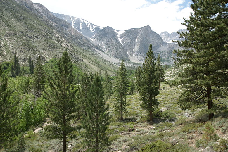
Trail heading up the North Fork valley
Trail heading up the North Fork valley
Very soon we had our first glimpse of Second Falls in the distance. It tumbles down at the end
of the valley. We came pretty close to the falls, but decided it was too much effort for not
much apparent gain. The base of the falls are actually halfway up the mountain side. We decided
to instead find a spot by the river to have lunch. We backtracked and took one of the spur trails
to a larger rock in the river. Unfortunately the dense brush limited our views, so it's not
the greatest place for a picnic.
Distant view of Second Falls
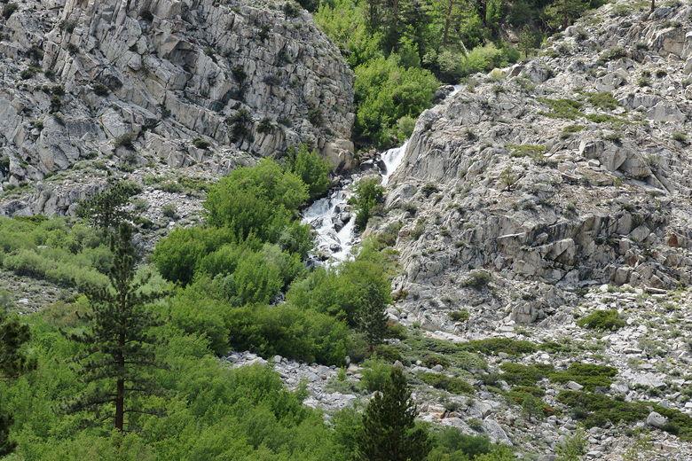
Closer view of Second Falls
After a quick lunch, we headed back the way we came. We stopped at another more pleasant
area underneath the tall trees next to the river and rested for a bit before continuing
down the trail. By this time it was getting overcast and a bit cooler, but this was welcome
since it had started out rather warm.
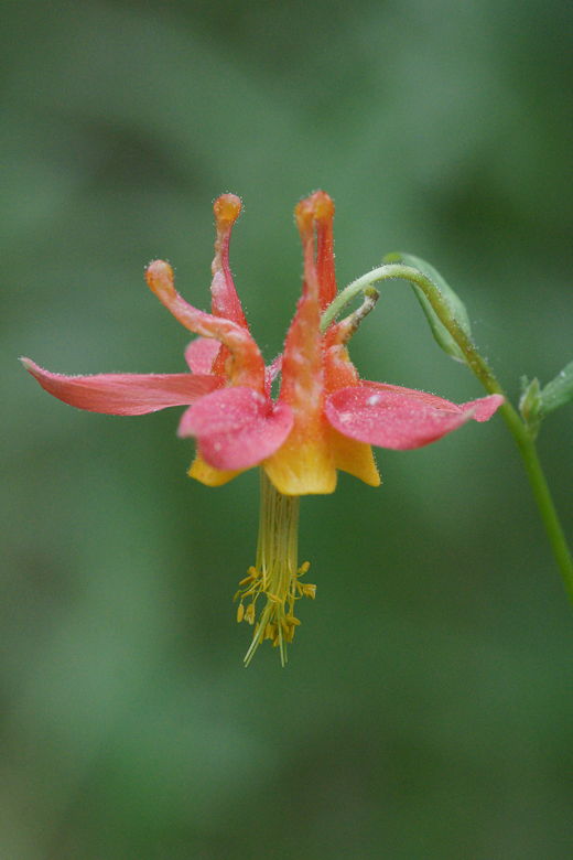
Columbine flower
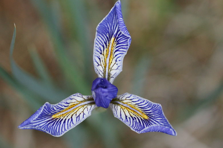
Iris flower
From here we quickly descended, crossing the upper bridge over the creek, down the switchbacks,
over the lower bridge, and back to the parking lot.
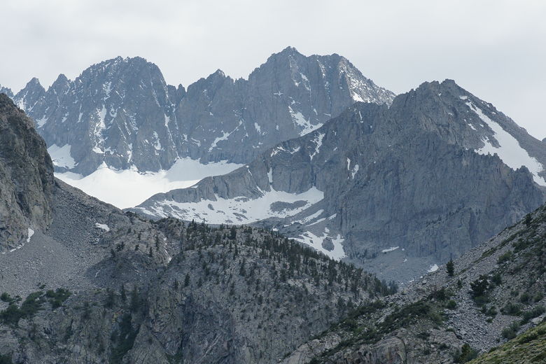
Palisades at end of South Fork valley
| 

