|
The trail is steep, gravelly, and barren, but it's short. There's a lake next to the
far end of the parking lot (away from the trailhead), but it's not a very pretty sight.
Still, there were lots of people on the trail, hoping to get a closer look at the glacier.
We were probably one of the few people who took the bus tour onto the glacier and did this
hike, as well.
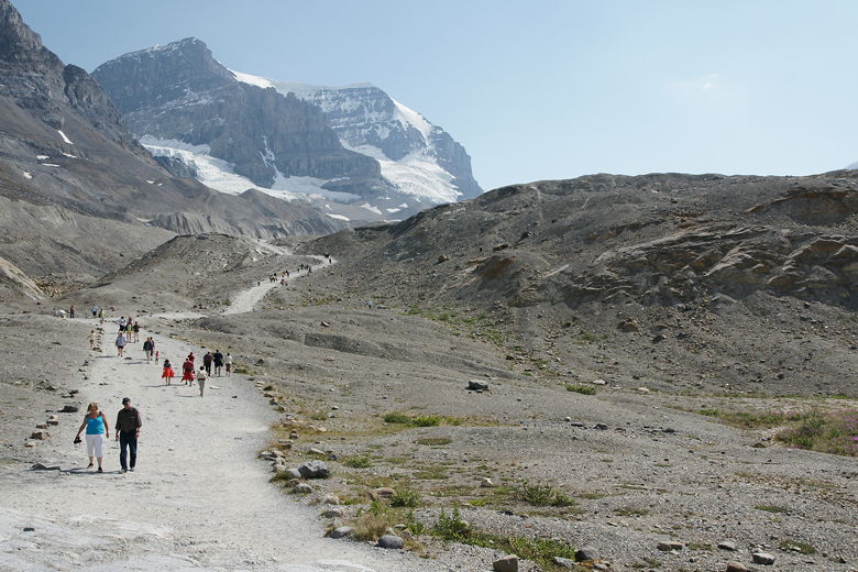
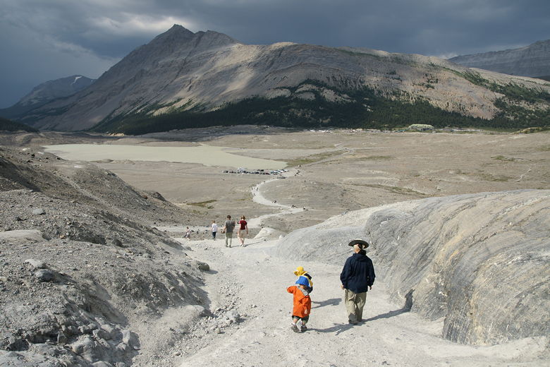
Start of the trail
It was very windy here, windier than when we had been on the glacier on the bus tour. I'm not
sure if that's because of the geography, or if the winds had picked up later in the afternoon.
As you walk up the trail, you'll see signs that denote where the glacier used to be. We
passed a sign for 1982 still not in sight of the glacier's toe. We then crested the
ridge and came to a sign for 1992, possibly a football field away from the current glacier toe.
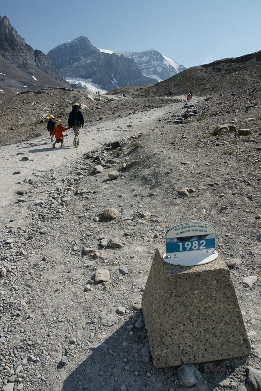
In 1982, the glacier was at this sign; now, it's way over the ridge
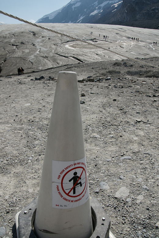
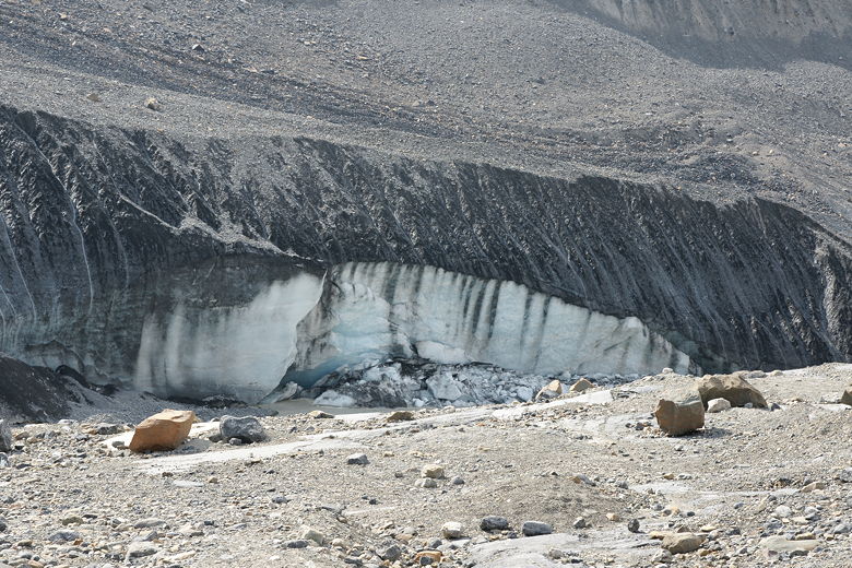
A rope circles the trail past the ridge. There are lots of warning signs at the end of the
trail, warning people not to walk onto the glacier. Crevasses could be covered with snow, and
if you fall in one it could be fatal. A sign here notes that a 9 year old boy fell into a
crevasse here. By the time rescuers retrieved him, it was too late. With all that being said,
we were shocked to see 90% of the people here ignore all these signs and walk down to the
glacial melt stream in front of the glacier, and then onto the glacier itself. A few people were walking
far up the glacier. Maybe they were trying to save the money and expense of taking one of the
guided hikes that provide crampons. I would definitely not recommend ignoring the warnings.
Warning sign and rope ignored by many
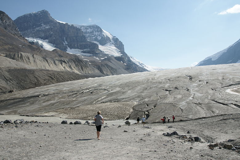
Toe of the Athabasca Glacier
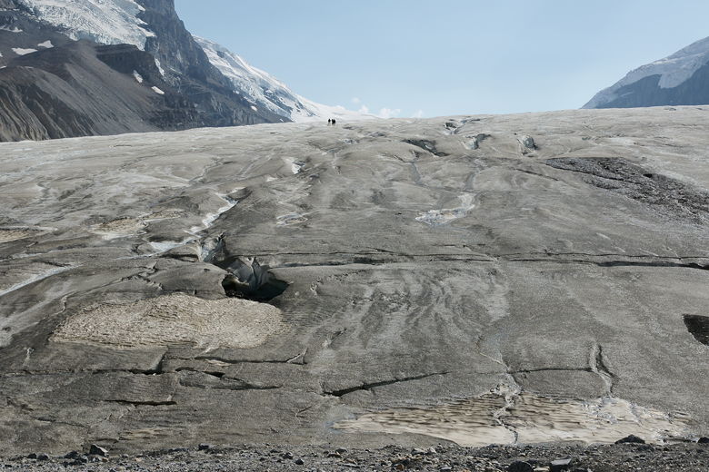
Hikers *really* ignoring the warning signs, way up on the glacier
From this vantage point, the glacier rises so steeply that you can't see the rest of the glacier
above it, nor the tour busses on the glacier. If you take the bus tour, you're not missing much
by skipping this hike.
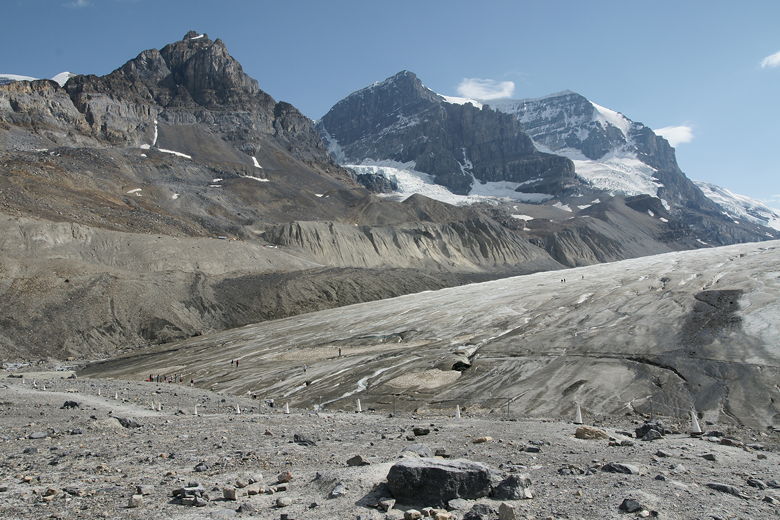
Mountains on south side of Athabasca Glacier
From above, you'd think you were standing on solid ground, and you'd be wrong
We took the loop trail here, following the ropes all the way around, then back to the 1992
sign and then down to the parking lot.
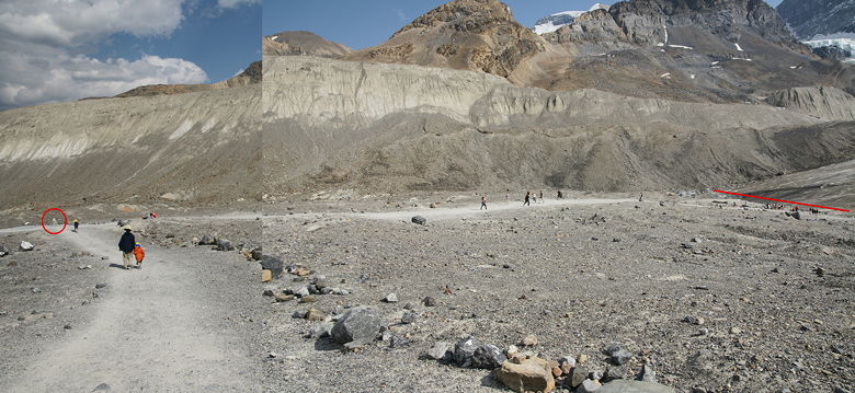
Composite of two shots showing where glacier was in 1992 (circled on left) and now (line on right). My 18mm lens wasn't wide enough for one shot.
Heading back down the trail just before the thunder starts
| 

