|
The free shuttle bus leaves the St. Mary visitor's center approximately every half hour.
It takes about 45 minutes to reach Logan Pass. You could probably make it
in about 30 minutes in a car. But then you'd have to find parking at the top. The bus we took was
full, about 25 people. I think if they had busses every 15 minutes, it would be more convenient
and they'd probably get a lot more people to use the service. This is the third year they've
had the shuttle service, which is being funded because of construction along the Going-to-the-Sun
Road, which goes from the visitor's center up to Logan Pass and then down the other side to the
western entrance to the park. The construction is supposed to last several years; hopefully
they'll continue the shuttle service even after the construction is done.
Our shuttle arrived at Logan Pass around 11:20am, and the parking lot, as promised, was full.
A few cars circled the lot like vultures. It's a large lot, and I'm guessing there's a
fair amount of turnover, so I don't think the wait for a spot would be too long, although the
park newsletter says it could take half an hour to find a space. In any case, we got out of
the bus and prepped for our hike as dozens of people milled about. There are bathrooms
here (badly
in need of repair),
and some interpretive displays inside that we didn't get a chance to view, but no food.
The trail starts just behind the visitor's center, heading west. It starts out as a paved path and
immediately
goes past some beautiful fields of wildflowers. There are also views of mountains in all
directions. After this initial paved part, most of the beginning of the hike consists of a
series of ever-higher wooden boardwalks as the trail climbs steadily upward.
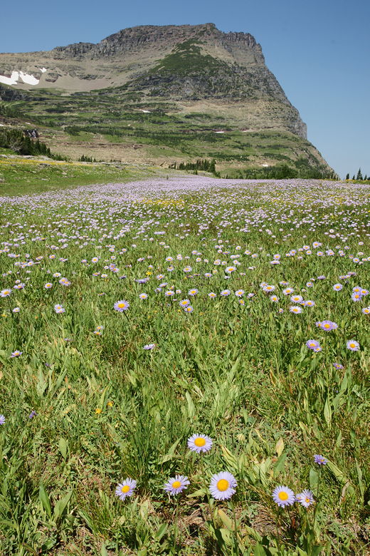
Wildflowers
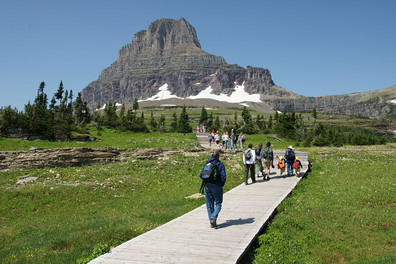
Heading up the boardwalks
Let me say right now that this trail may be the most crowded trail I've ever hiked. Remember when
I complained about the 25 people every 9 minutes on The Whistlers Summit hike? That's nothing
compared to the hordes of people starting this hike from Logan Pass. Let me put it this way:
I don't think there was a single second of this hike where we were out of sight of another hiker.
That's surprising to me for a hike as long as 3.4 miles.
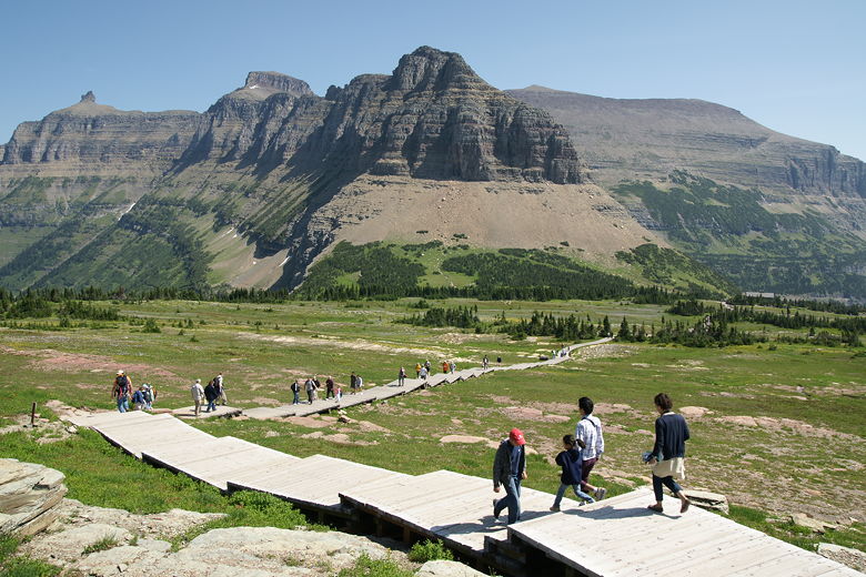
Looking back down at the boardwalks
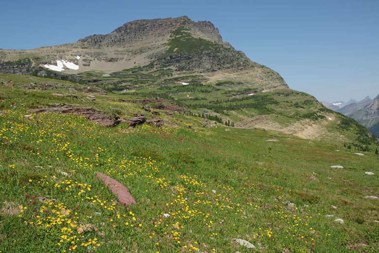
More wildflowers
Many of these people hiked with nothing at all, not even water. I lost count of how many
people commented on our kids, who were decked out in their packs with water, snacks, jackets,
and trekking poles. And of course their big yellow hats. I guess sometimes it's nice, but
when there are so many people and you get comments every 4 or 5 minutes, it gets pretty
tiresome.
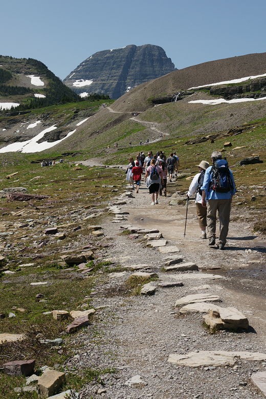
As busy as a city sidewalk
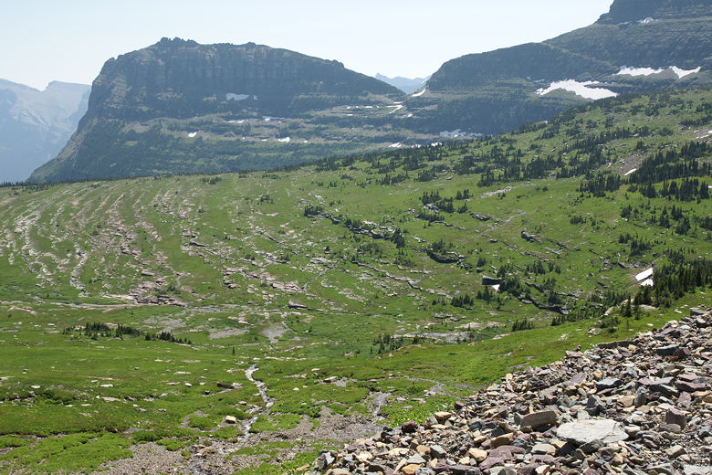
Looking down to the left of the trail
At least the scenery was outstanding. After about a half mile, the boardwalks end. The trail
still climbs, but a bit more gradually. After about 1.1 miles, we stopped by two small
ponds for lunch. As luck would have it, as soon as we stopped on top of a large rock, we
saw mountain goats headed our way from the west, next to the trail. I hurriedly switched to my 500mm
lens and snapped away. Three of them walked quickly toward us, mostly unbothered by the
presence of all these hikers looking at them. They continued quickly past us. About 10
minutes later, I saw a couple more goats walking on the horizon to the west. I saw a
photographer coming down the trail toward us from the west. I pointed to the goats, but
he was unimpressed, saying there were lots of them on the other side of the ridge.
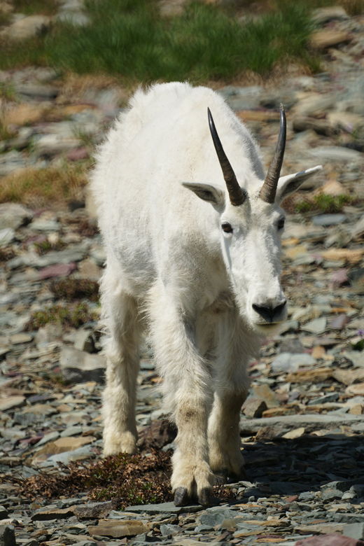
Mountain goat
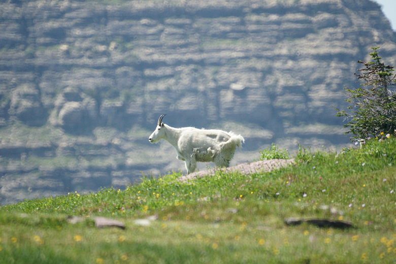
Mountain goat
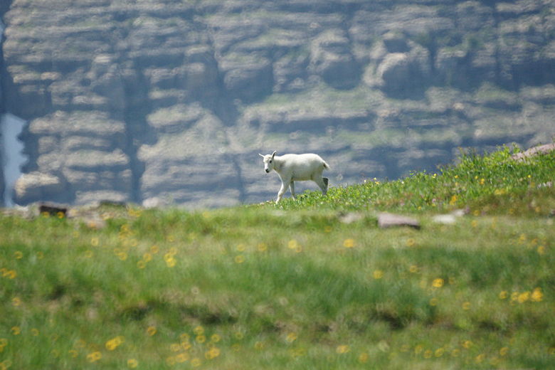
Kid
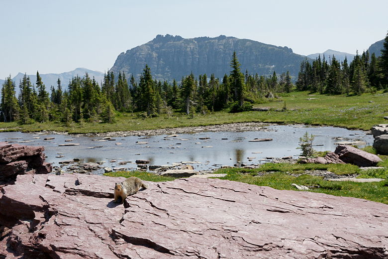
Chipmunk on rock in front of one of the ponds
After lunch we continued on the trail, which is almost flat here. Immediately, we saw another
goat, this one right on the trail itself. It shared the trail with lots of hikers, coming right
toward us from the west. It veered off the trail and then into the trees to our left.
Soon we reached the display at the overlook. There are some wooden walkways here and a small
display explaining some of the local land features. Hidden Lake is visible below, about the
same elevation as the start of the hike. Rising directly behind it is majestic Bearhat Mountain.
From here it's another 1.5 miles down to the lake. That would turn a 3 mile hike into a 6 mile
hike. I actually think the kids probably would have been ok with it, since they'd have a long
break at the lake before climbing back up to the overlook, and the last 1.5 miles would be
downhill and a lot of it on pavement or boardwalks. However, they wanted to get back for the
pika talk, and I didn't feel the need to push them much further. I did convince them to
go just a little bit further for a nicer view of the lake.
So we continued down the trail a bit. Up until this point the trail had been very crowded. Beyond
the overlook it was much less crowded, but there were still a fair number of hikers. The trail
continues gradually downhill a bit, past more wildflowers to some much nicer views of the lake.
If you have the chance, make the small extra effort and keep walking past the overlook. We
continued to about the point where the grass to the right of the trail ends. Beyond that
there's only talus above the trail (though the grass continues below the trail to the left).
We stopped here for a short break. While here I offered to take a family's picture, and they
returned the favor. They suggested doing the Avalanche Lake hike, which they had done the
previous day. We planned to do it tomorrow.
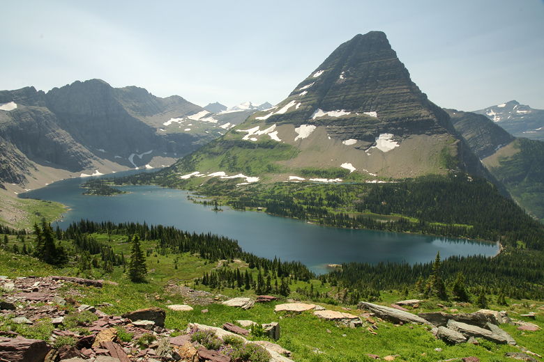
Hidden Lake
We saw a hoary marmot here, but no pikas. After our break we turned around and headed back up
to the overlook. From there, the trail got crowded again as we headed back to the trailhead.
We passed more goats walking next to us on the trail. Or, rather, they passed us. We then
joined the procession of people walking quickly down the boardwalks, mostly single file.
It was like being on an escalator or airport moving sidewalk, only we had to keep walking.
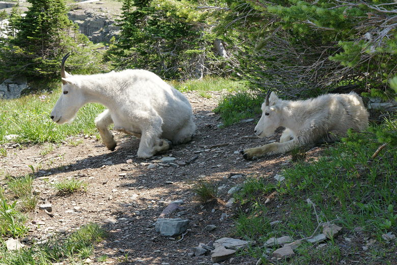
Two goats
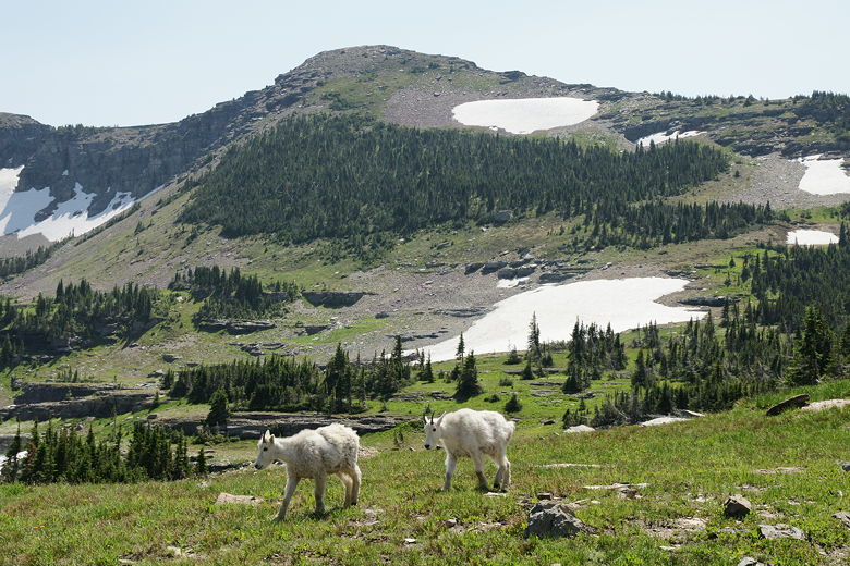
Two goats
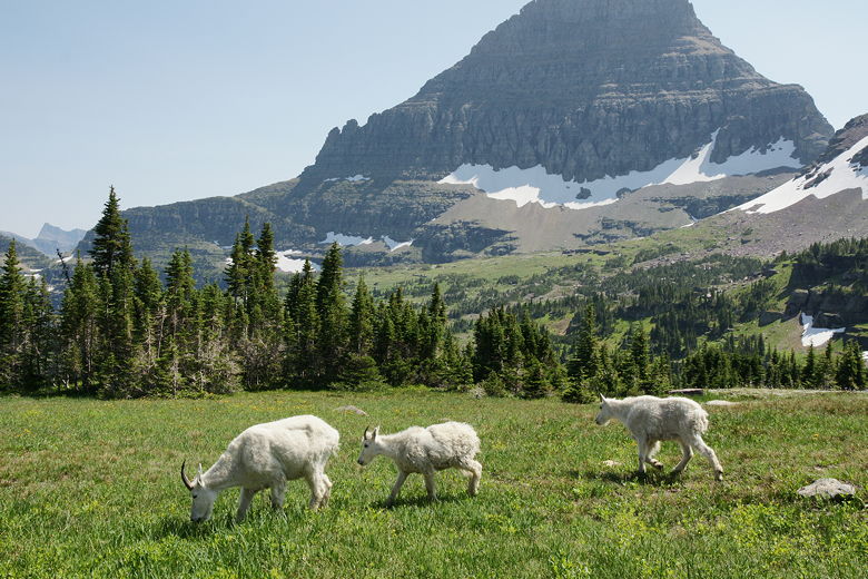
Three goats
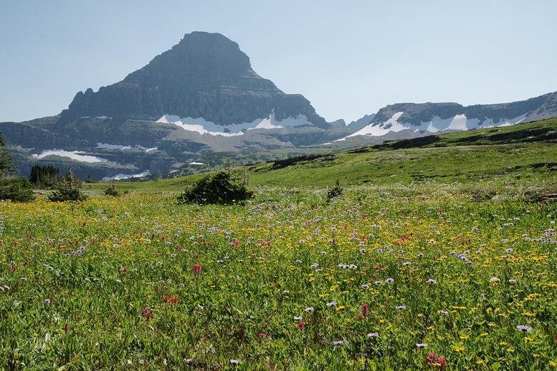
Wildflowers again
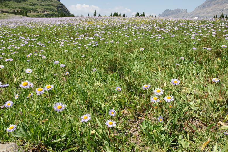
More wildflowers again
| 


