|
I wasn't able to make reservations because you have to do so 2 days in advance. So after
parking in the lot and prepping our gear, we had to wait in line to buy tickets. After
about a half hour wait, we finally got to the front of the line and bought our tickets --
$28 for adults, and $14 for kids aged 5 - 14. We then had to wait another half hour for
our tram. The trams go up about every 9 minutes, with a capacity of about 25 people.
We waited our turn, and then took the short 7 1/2 minute ride up to the top. It rises
almost 3000 feet up, providing views of the Jasper townsite, lakes, and surrounding
mountains. We were packed into the tram like sardines, everyone standing. Along the way
our tram operator gave us little tidbits about the area, including the fact that Jasper
townsite has a year-round population of about 5000, but has up to 20,000 people at the
peak of summer.
When we got
to the top of the tram, we walked along the boardwalk to the start of our hike.
There's really not much at the top to do. There's the small boardwalk with some views, a
restaurant and gift shop inside, and that's pretty much it. So almost everyone does the same hike,
up to The Whistlers Summit. Some simple math (25 people every 9 minutes) will tell you that this
hike can get pretty crowded.
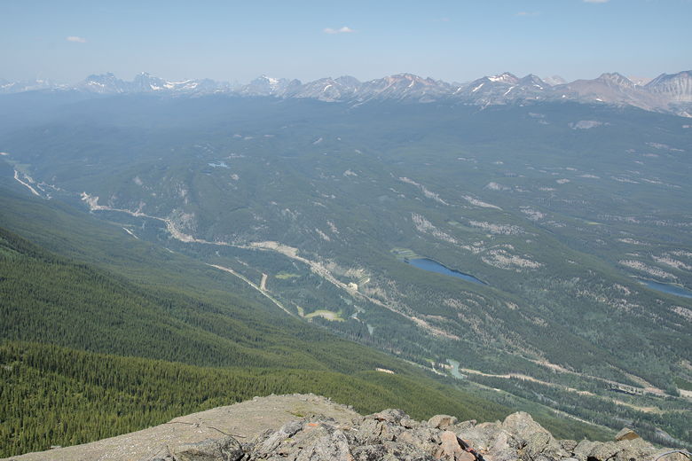
View from the top of the tramway looking northwest
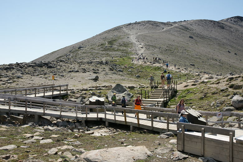
Boardwalk at the start of the trail
The terrain at the start of the hike is pretty much the same as the top of the hike --
above treeline, the only vegetation being some grasses and alpine flowers. Views are
everywhere, mostly to the north and west to begin the hike. Mt. Robson was barely visible
off to the west. In general the mountains are far enough away that the atmospheric haze
dampens the views. It probably didn't help that we were doing this hike in early
afternoon. Perhaps in the morning the sky is clearer.
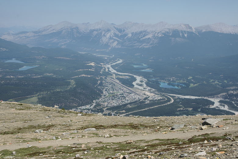
Jasper townsite
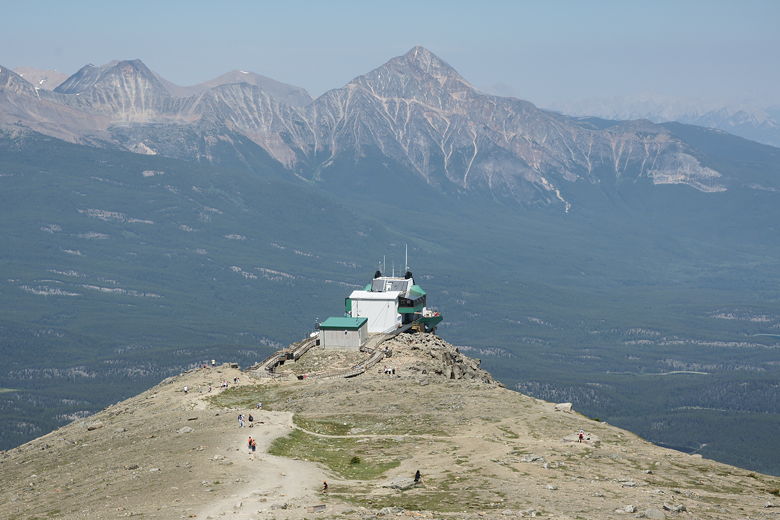
Top of the Jasper Tramway
The trail is steep and gravelly, but a bit less than a mile to the top. There are several
wooden benches to take a break on. There are some short side trails to the left which
loop around, providing some better views to the east, but we decided to stay on the main trail
going up and perhaps hit the side trails on the way down.
There aren't any switchbacks to speak of. It's just straight up. After a bit of climbing
we reached a false summit, but the true summit is just ahead and the trail is not as steep
on this upper section of the trail. Soon enough we reached the summit cairn, then settled
down for lunch. There are some nice views from here of the mountains to the south. There's
also a trail that continues along past the summit, down the western slope of the summit.
You can just keep hiking for a while if you like, cross-country even after the trail ends.
There are no trees or water here, so it's almost impossible to get lost. You could just go down
one mountain and up the next.
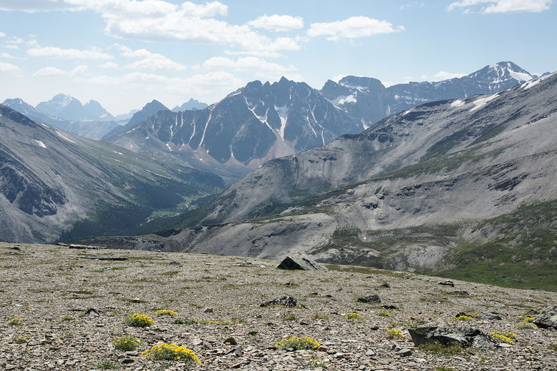
View from the summit
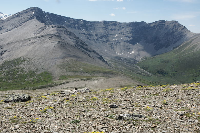
View from the summit
It was actually quite warm this day, even up here. There was definitely no snow near the trail.
In general I was surprised by how warm it was in the Jasper area, although our tram operator
did say this was probably the warmest day of the summer.
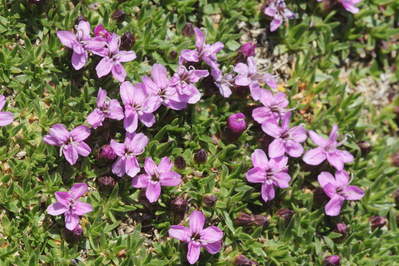
Flowers at the summit
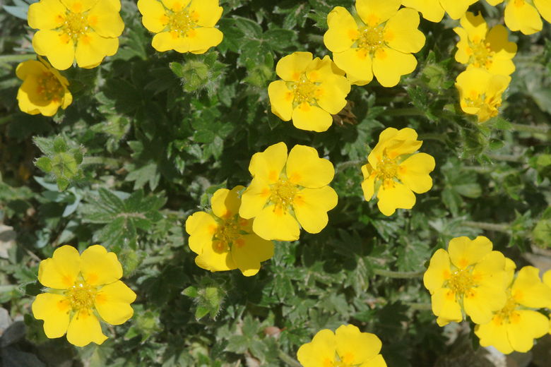
Flowers at the summit
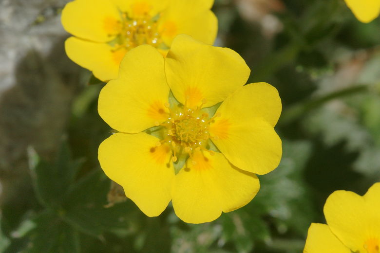
Flowers at the summit
After lunch, we started our descent. On our way down, we kept to the right, taking the side
paths so that we could get the views to the east that we hadn't had on the way up. It's pretty
much more of the same. We then returned back to the top of the tram the way we came up.
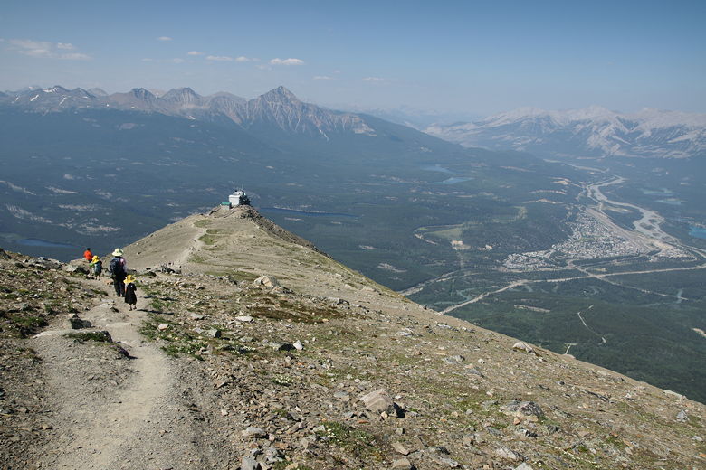
Jasper townsite below Jasper tramway
For the tram ride down, it's first-come, first-served. We had to wait about 18 minutes until
we were able to take a tram down. Then at the bottom we were able to buy some ice cream to
enjoy after a short hike on this warm day.
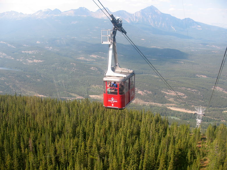
Tram coming up
| 


