|
In the summer, you can presumably drive you car along Henness Pass Road to Kyburz Flat and beyond.
In the winter, the road is closed, with just a few dozen feet of the road available to park on
before putting on snowshoes or cross-country skis. We saw both snowshoers and cross-country skiers
on this trip. Because the parking area is so small, some people park on the side of Highway 89
a bit further south of Henness Pass Road.
After putting on our snowshoes, we started hiking along the snow-covered Henness Pass Road.
The road is almost completely flat as it heads toward Kyburz Flat. While snow covered most of the
road, there were patches here and there where the gravel road showed through. The hillside heading
up to the left was patchy, while snow covered the valley to the right.
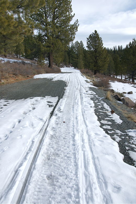
Occasional patches of gravel on the road
This was the boys' first snowshoeing trip, so I made sure to tell them to avoid stepping on the
ski tracks if at all possible (since skiers can use them on the return trip). They didn't seem to
have any problem walking on the relatively hard snow on the road, but progress was painfully slow.
If you're planning a snowshoe trip with your kids, keep in mind that snowshoe mileage is much harder
than summer hiking mileage. Well, it didn't help that we stopped every few yards to have a snowball fight.
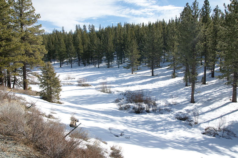
Snow-filled valley to the right
Closer view of the valley
Tracks in the snow
There's a fence on the right side of the road which I assume denotes a private property line. In
any case, after about a third of a mile, the fence ends, allowing access to the soft snow in the valley.
We went a little further before venturing out into the valley. Here I had a great reminder of how
much fun snowshoeing can be. Walking on powder is just more fun. I picked up a handful and it just
disintegrated (no chance of forming a snowball). We jumped over a tiny stream to reach the edge of the
forest on the other side, where we stopped to have lunch.
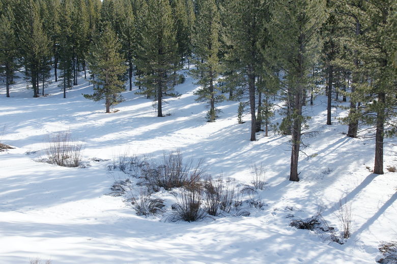
After lunch we continued along the valley, passing some small frozen ponds. I could see the road starting
to veer away from the valley, so we cut across the valley back to the road. The road then starts a small
incline before reaching an interpretive sign and outhouse at the top. The sign says "Welcome to Kyburz
Flat". Another sign nearby describes the Kyburz Petroglyph, though the rocks were covered with snow
so we didn't see much.
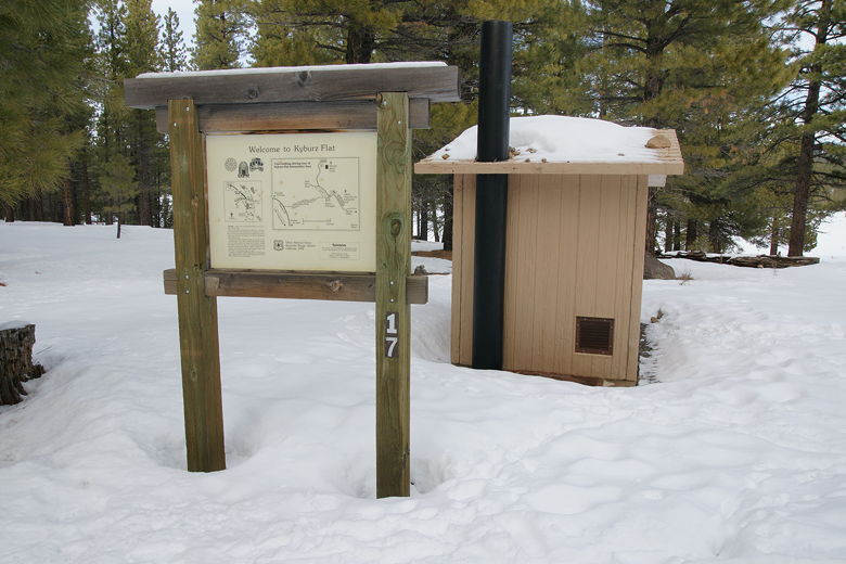
Sign and outhouse at Kyburz Flat
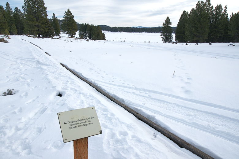
We walked down to an area describing the original alignment of Henness Pass Road. From here we
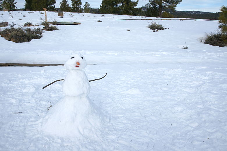
could see out toward the wide expanse of Kyburz Flat to the southeast. It seemed like a nice spot
to stop and build a snowman. Unfortunately there was a lot of powder here, impossible to make a snowman
from. We walked around, finally finding some crunchier snow that, while not ideal, would work.
Looking out toward Kyburz Flat
So we made our snowman, complete with a carrot nose, his gaze clearly directed out toward the flat.
Hopefully he'll survive the storms and someone will build him a companion.
Our snowman
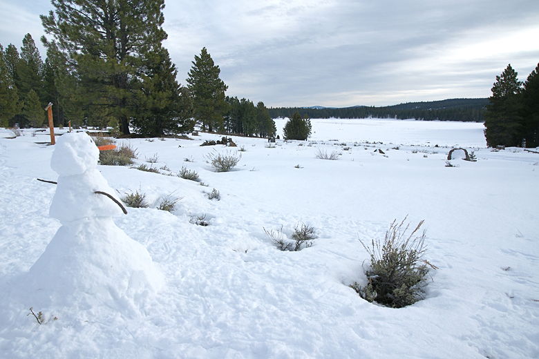
Snowman enjoying the view
It was getting late, and the kids were tired, so we turned around and headed back the way we came.
Jared had to be carried the last half mile, but otherwise it was an easy 2+ mile snowshoe hike.
If you're up for more, there's a 5.5 mile loop trip to be had here, which can be done on cross-country
skis or snowshoes. Perhaps we'll come back with our cross country skis a few years from now when
the kids are old enough.
| 

