|
We managed to find a parking space in a small parking
area next to camp site number 9, where the trail begins. Then we followed the metal information
signs along the trail. The trail itself is sandy and mostly flat. The signs explain some of
the geology of the boulders that you pass by. The boulders are White Tank granite, and form
some pretty interesting shapes.
At one of the signs we took a short side trip to Arch Rock itself, since it's hard to get a good
view of it from the trail itself. It's almost perpendicular to the trail, and you have to
kind of squirm your way over and through some other boulders to get to it. It's not very difficult
to do so, and stand right underneath it, however.
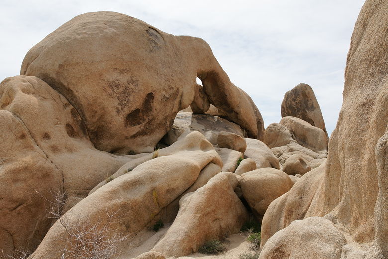
Arch rock from the trail
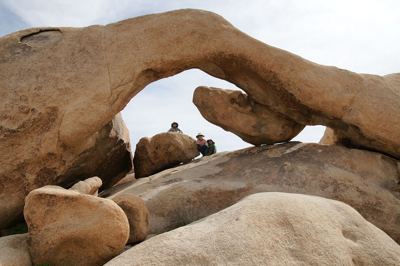
Arch Rock
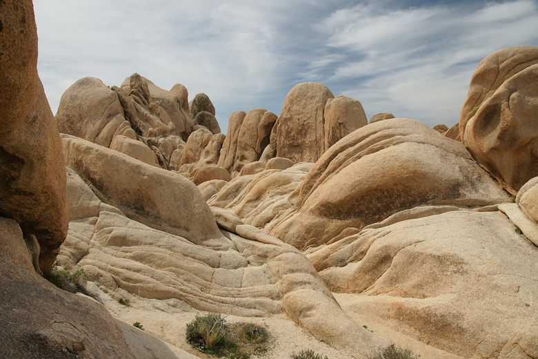
Rock formations near Arch Rock
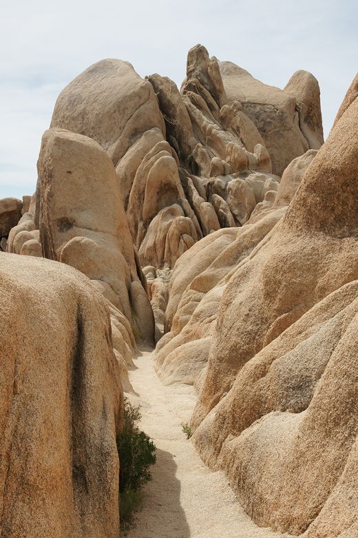
Rock formations near Arch Rock
The informational signs are pretty interesting. One of them describes something called dikes,
which form in fractures in the main body of rock while still beneath the surface of the earth.
These manifest themselves as lines of rock embedded in the granite. We would see clear examples of
this later on this trip.
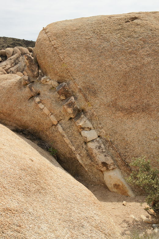
Dikes
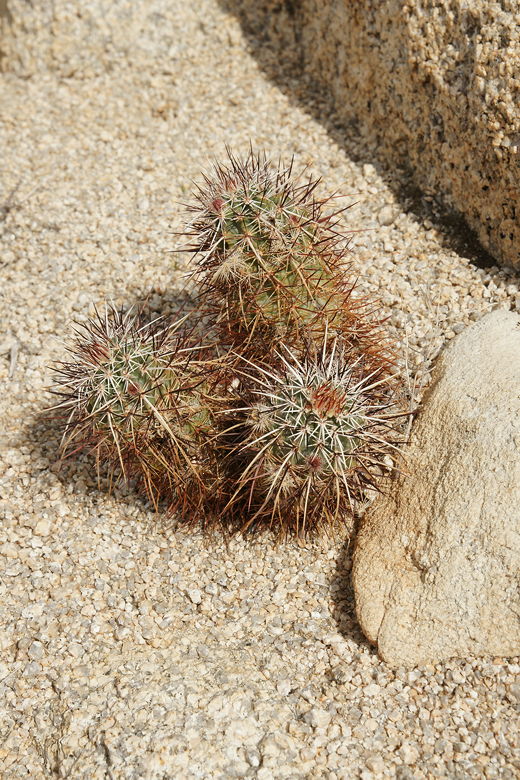
Cactus
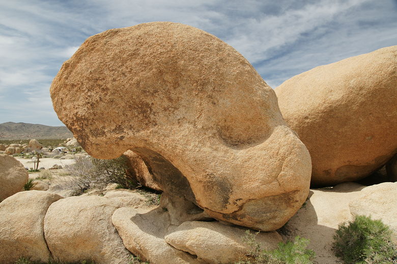
Looks like a skull to me
While it's interesting to look at the rock formations, before you know it, the trail is over,
returning in a loop to the trailhead.
| 


