|
There's a picnic area at Hidden Valley, but we decided not to use it because it was too windy.
Instead we ate in the car before heading off on the trail.
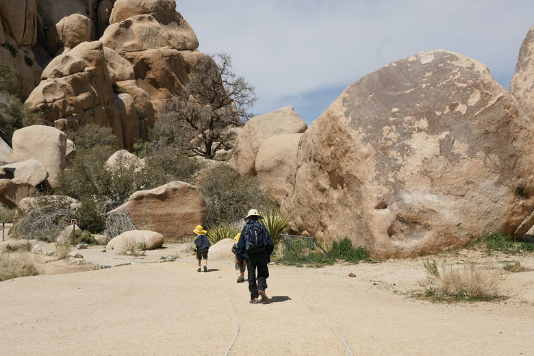
Heading to the entrance to Hidden Valley
This is another loop nature trail. Let me be honest upfront -- there's not much to the trail. I was
expecting more, kept expecting it to take us somewhere somewhat rewarding, but it never did.
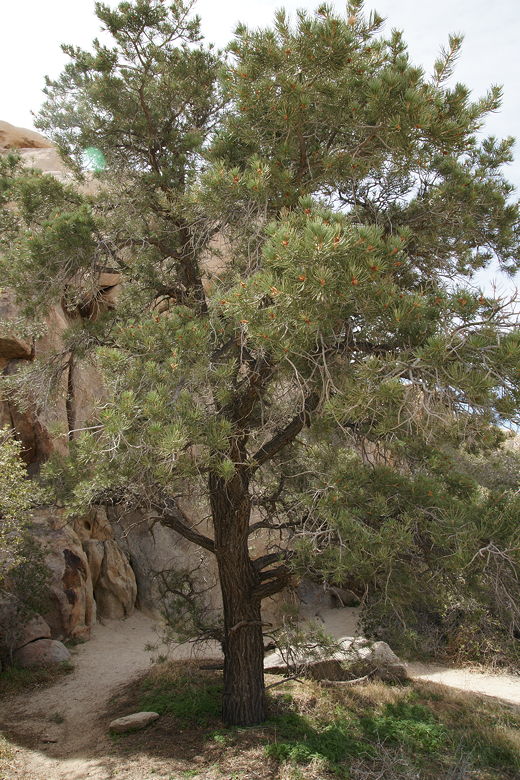
Pinyon pine
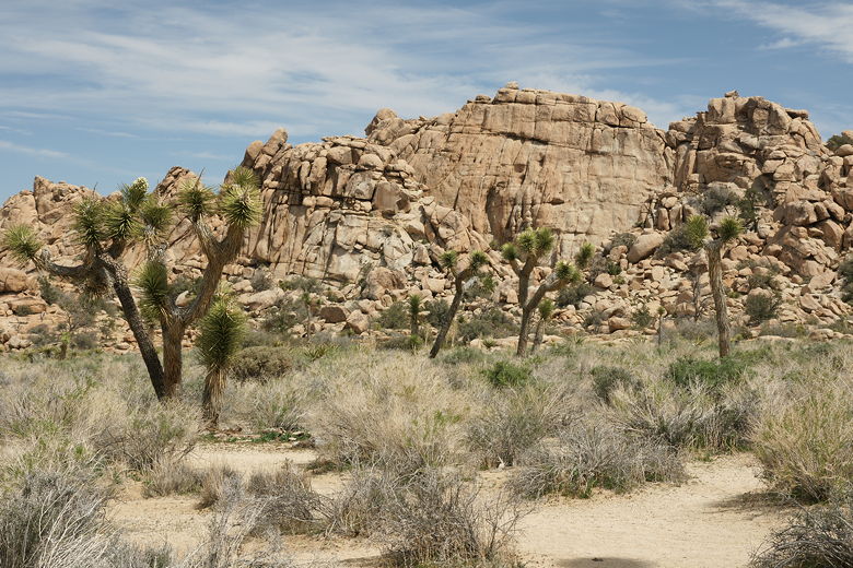
Joshua trees
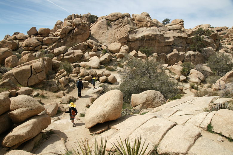
Hiking past the boulders
The trail enters Hidden Valley by climbing over and through some boulders that had been blasted out
in 1936. Once inside, we took the left fork to start the loop hike. There are interpretive signs
along the way, explaining some of the plant life.
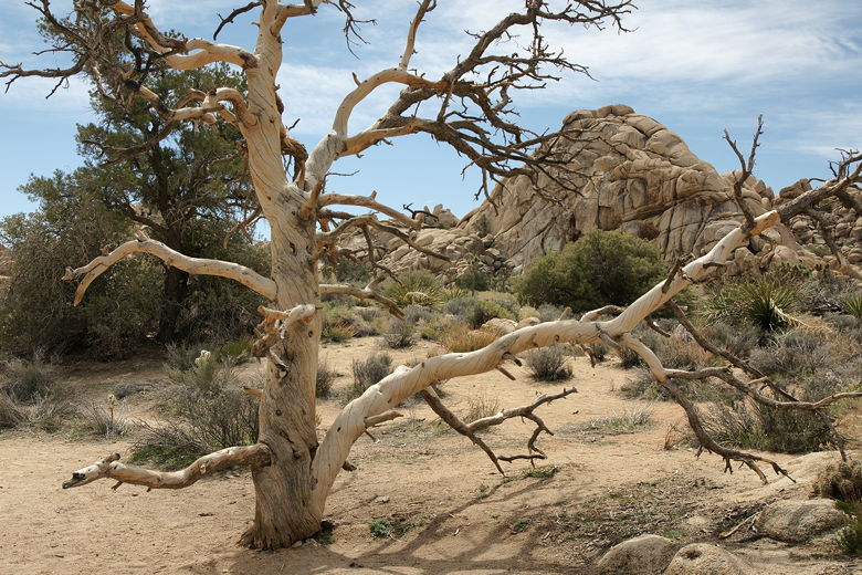
Dead tree reaching out
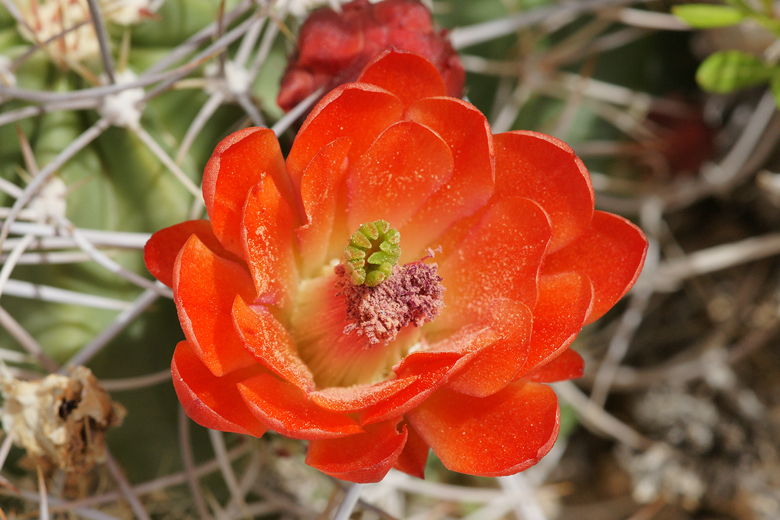
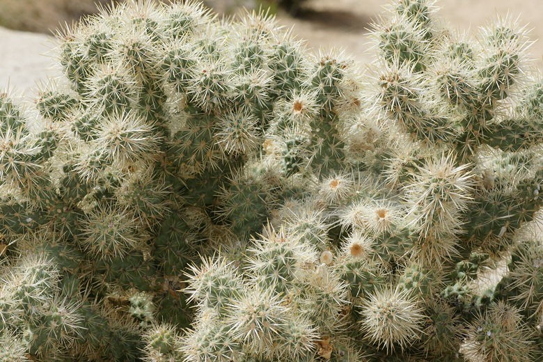
Cactus flower
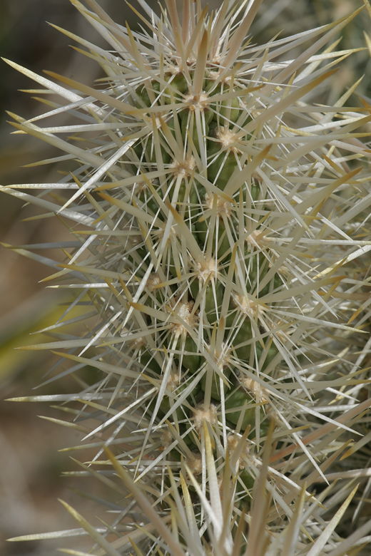
Close-up of cactus
The view along the loop consists mainly of cactus, Joshua trees, and boulders. And not very
interesting boulder formations, at that.
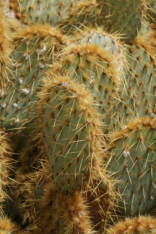
Cactus
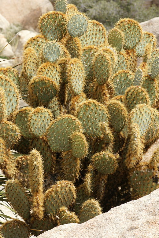
Cactus
Cactus
Before we knew it, we had completed the loop, and exited the valley via the main trail.
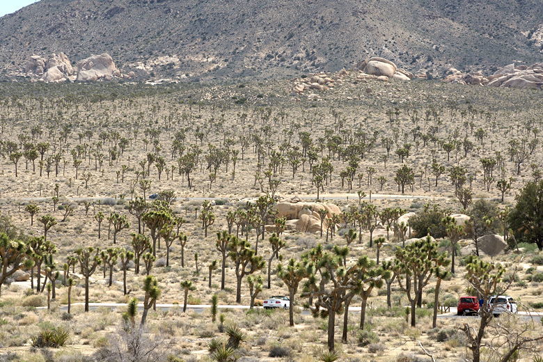
Joshua trees as seen from the Hidden Valley entrance
| 

