|
The large parking lot at the Ryan Mountain trailhead was nearly full when we arrived. Jared was
still napping in the car, so I made a brief excursion to where a sign said Indian Cave, just to the
right of the Ryan Mountain trailhead. However, I didn't see anything of note. No obvious
petroglyphs, just some burned rock where someone had probably built a campfire.
I returned to the car and we started off on the hike. The trail almost immediately starts climbing
up some steps past a collection of White Tank granite boulders. Though this is a relatively
short hike, it climbs pretty much relentlessly. There are no flat sections to speak of. It's
a steady climb, though, not too steep.
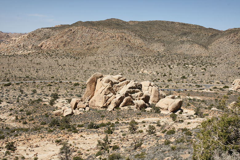
Looking back at the boulders near the parking lot
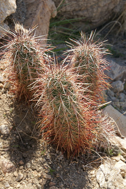
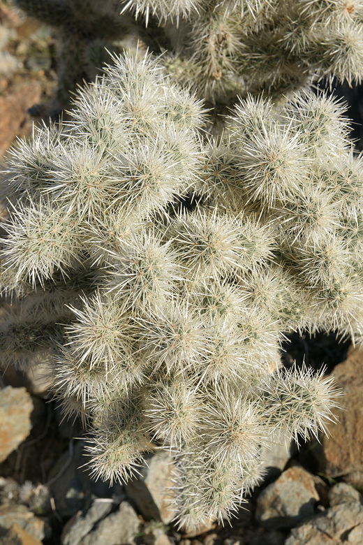
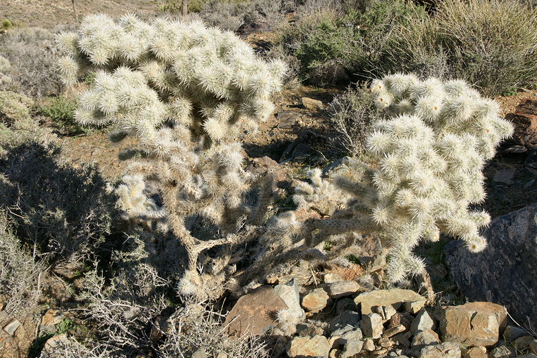
Cactus
The trail heads straight out, perpendicular to the parking lot and road, and as you climb you can
still see the parking lot below, beyond the granite boulders. After climbing a bit you'll reach
the one and only trail intersection on this hike. The trail to the left heads over to Sheep Pass
Campground. We instead took the right fork to continue on the Ryan Mountain trail.
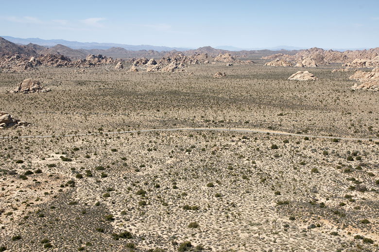
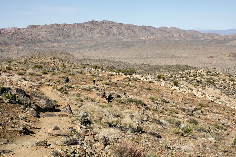
Landscape dotted with Joshua trees
As we climbed further still, we lost sight of the parking lot around the corner, but gained better
views of the Joshua trees, dotting the mostly flat landscape for miles. Nearer at hand, there
weren't many Joshua trees at all along the trail, instead mostly cactus and bushes.
The Ryan Mountain trail is a bit deceptive in that you can't see the end for quite some time.
Don't be fooled into thinking the top of that mountain you see in front of you is the peak. Instead,
the trail twists and turns, revealing yet another, higher peak. We followed it up and up, eventually
reaching an area with views looking down to the east. We rounded the corner and then could finally
see the true summit on our right. The last section is also nice because it starts to level
off a bit.
I was a bit surprised to find out that the summit wasn't very windy. There's a large rock cairn
at the top. I'm not sure why it's there, but I did see some people add more rocks to it, so it
may just be a case of it getting larger over time simply because it's there.
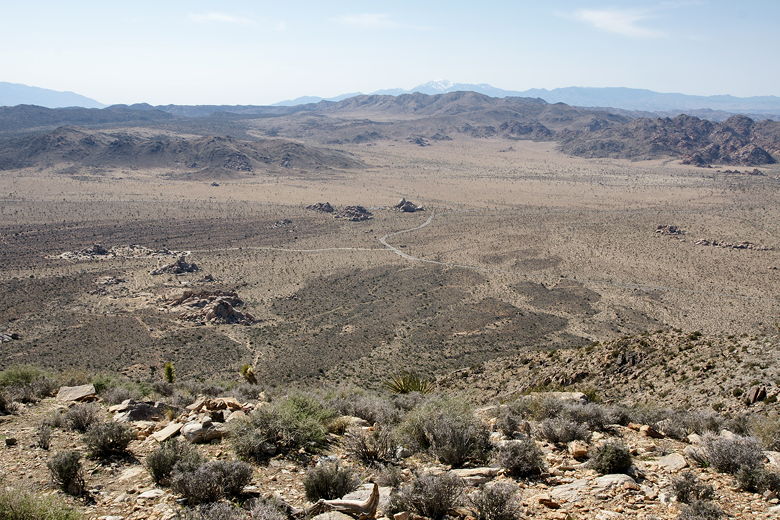
That's Cap Rock far below (center)
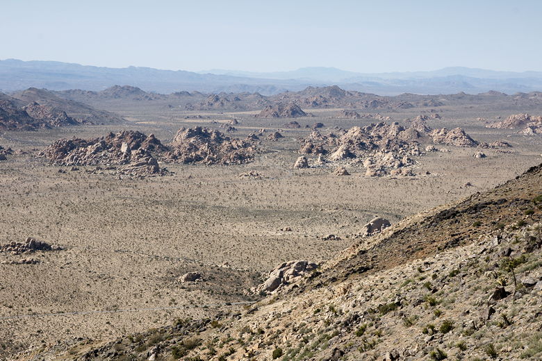
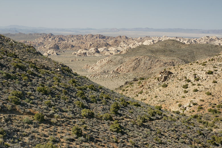
Rock formations to the northwest
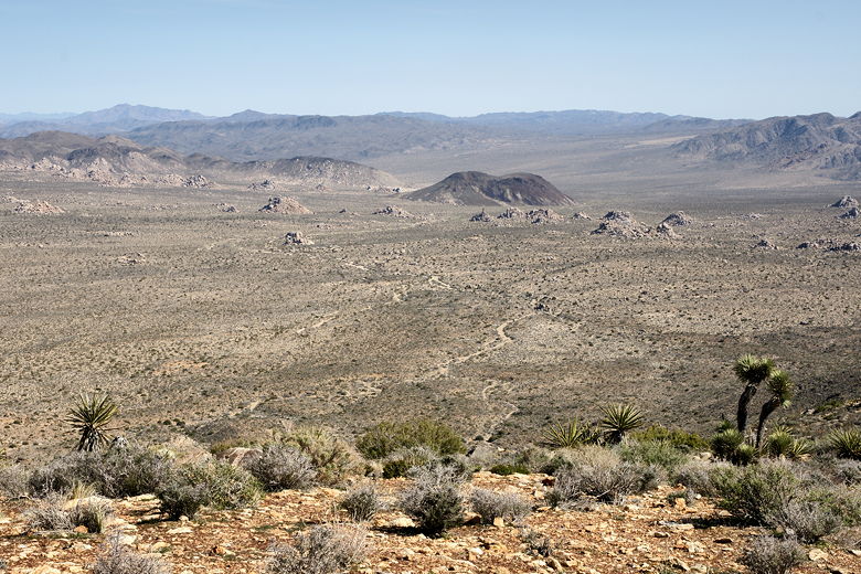
Malapai Hill
The views from the top (elevation 5457) are great, extending almost 360 degrees. To the west we could see Cap Rock
below. To the south, the mountains where Keys View lies. To the east, Malapai Hill and the Hexie
Mountains.
| 


