|
There's a large parking lot at the Gorge Overlook trailhead. Many of the people who park here probably just
walk over to the bridge and take a look at Gorge Creek Falls from there.
We would do that, as well, but first we did a little loop hike. The first 1/5th of a mile is paved,
with interpretive signs along the way describing the weather patterns of the area and some history on
the Gorge Dam. There are some views (partly obscured by trees) of the Gorge Dam and the lake behind
it, as well as a smaller waterfall.
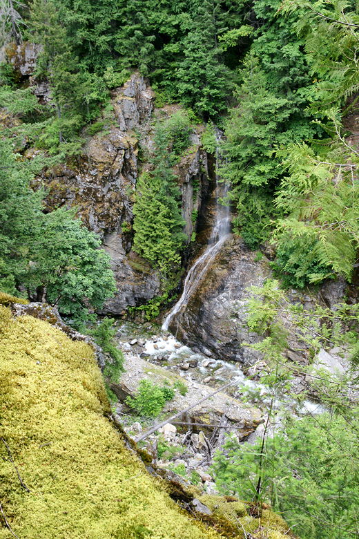
Smaller falls flowing into Gorge Creek
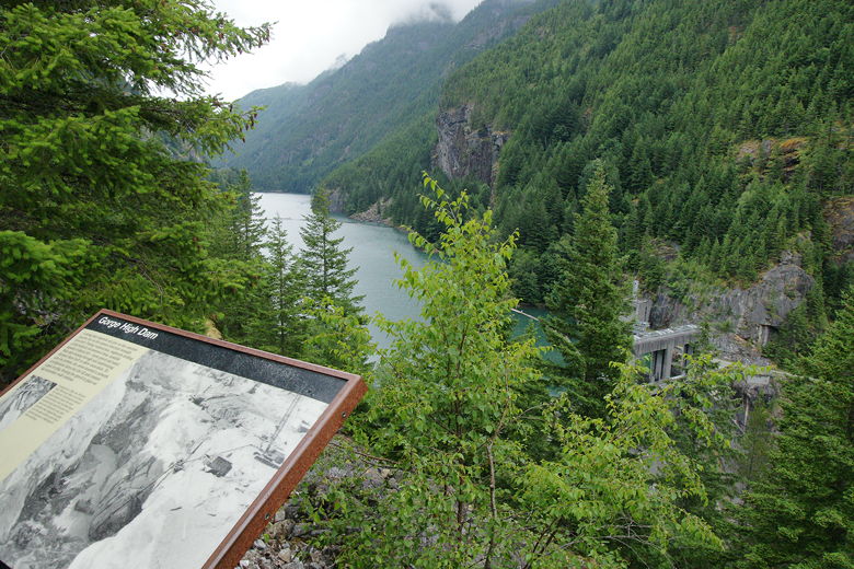
Gorge High Dam partially obscured by trees
The last 1/3rd of a mile is not paved, but in good condition. It winds through the forest uneventfully,
returning to the parking lot.
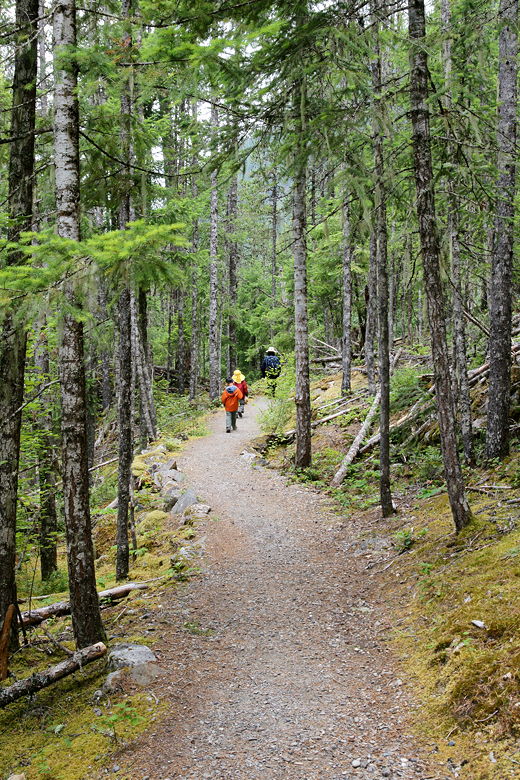
The non-paved section of trail
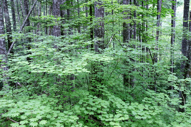
Maple trees, I believe
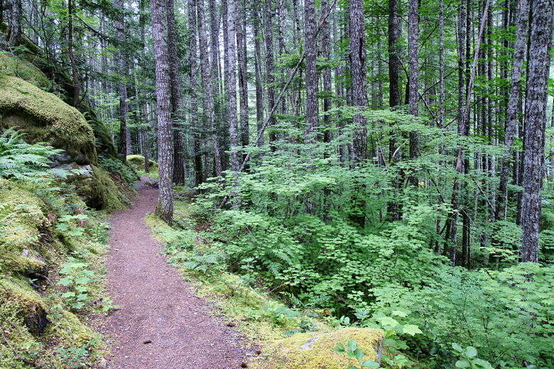
Trail and forest
After the hike, we crossed Highway 20 and walked onto the bridge (part of the highway). From here
we had a view of Gorge Creek Falls, falling in a thin ribbon about 240 feet. It's kind of an
awkward-looking set of falls, as it falls sideways -- from the right side, down into a narrow
gorge. From the bridge you have a direct view right into the gorge, but you can't get a head-on
view of the falls as they come down.
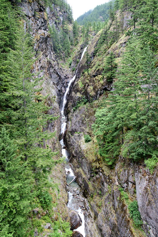
Gorge Creek Falls
| 

