|
We started off on from our campsite on a little after-dinner hike, hoping to find a nice
spot by the Skagit River. From the map it looked like we could find a spot on the gravel
bar next to the River Loop trail.
We started off on the To Know A Tree Trail, heading toward the river. There are interpretive
signs along the trail, identifying the various trees and ferns along the trail. We reached the
point next to the river we'd stopped at last night and kept going.
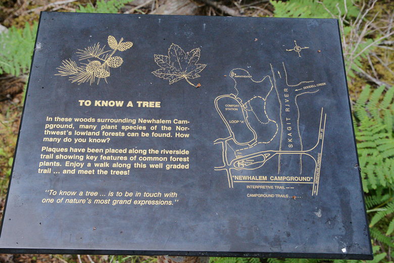
Sign at the start of the To Know A Tree trail
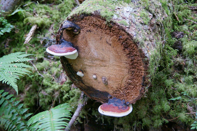
Mushrooms growing on a fallen tree
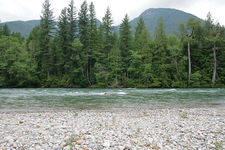
The trail now basically follows the creek, its fast-flowing waters visible through the trees on the
right. Eventually the trail intersects with some other campground trails which might be confusing.
When in doubt, just keep to the right. Other trails to the left lead back into the campground.
Even staying on the right, we passed a few walk-in campground sites on the right. Only one of
them was occupied. They look like great sites, right above the river. Of course, you'd have to
haul all your gear to them from the parking lot.
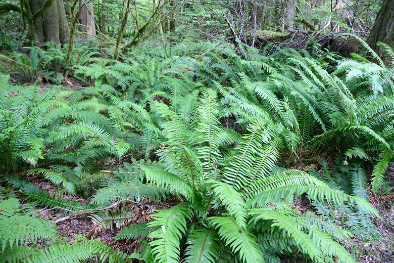
Ferns
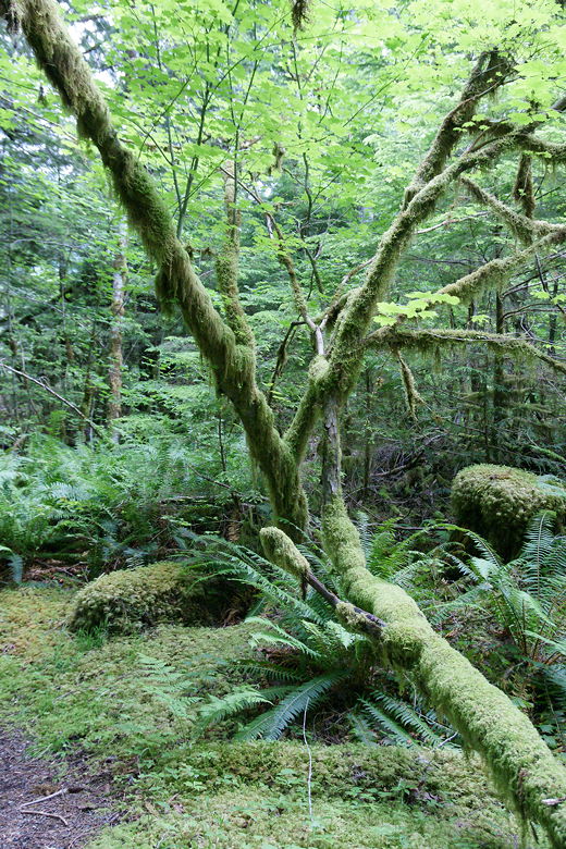
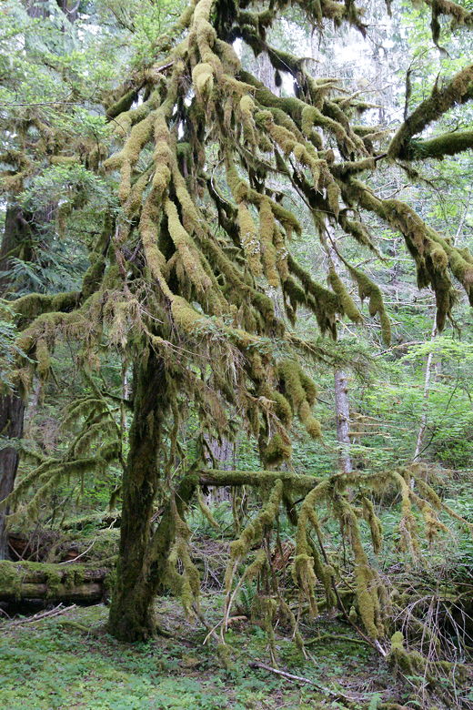
Mossy tree
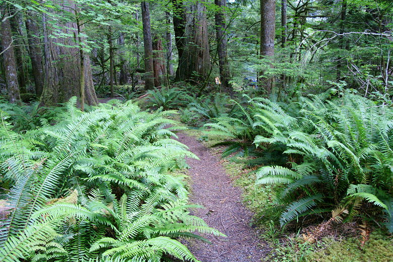
Path through the ferns
The great thing about this trail is the forest. It's dense and lush, with mossy trees, ferns,
and mushrooms. It's beautiful, reminding me very much of the Hoh Rain Forest trail. Eventually
we took the right fork to the River Loop trail. There's a big interpretive sign
on the River Loop trail, describing the animal life there, as well as a small bench.
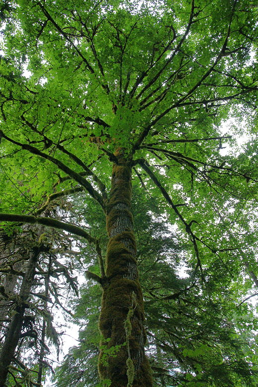
Looking up at a moss-covered tree
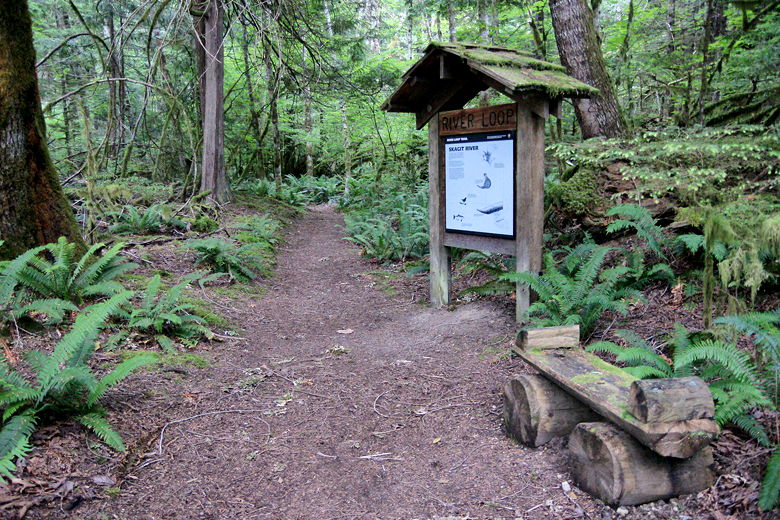
River Loop trail sign
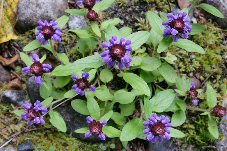
Flowers next to the trail
We followed the trail for a while, but it started to veer away from the river. I took a look
a bit further down the trail, but couldn't tell if it returned to the river. So we backtracked
a bit and took a small unsigned use trail (in danger of being overgrown) leading to the river.
This did provide some access to the river, but we could see the gravel bar on our left.
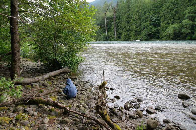
Stopping by the Skagit River
Mossy tree near the shore
Walking along the shore, we reached the gravel bar and stayed for a bit. It's a large expanse
covered with small rocks. I was a bit nervous standing there because it's very flat and I know
there are dams upstream, so it's very easy to see a situation where this area could become flooded.
So we didn't stay long.
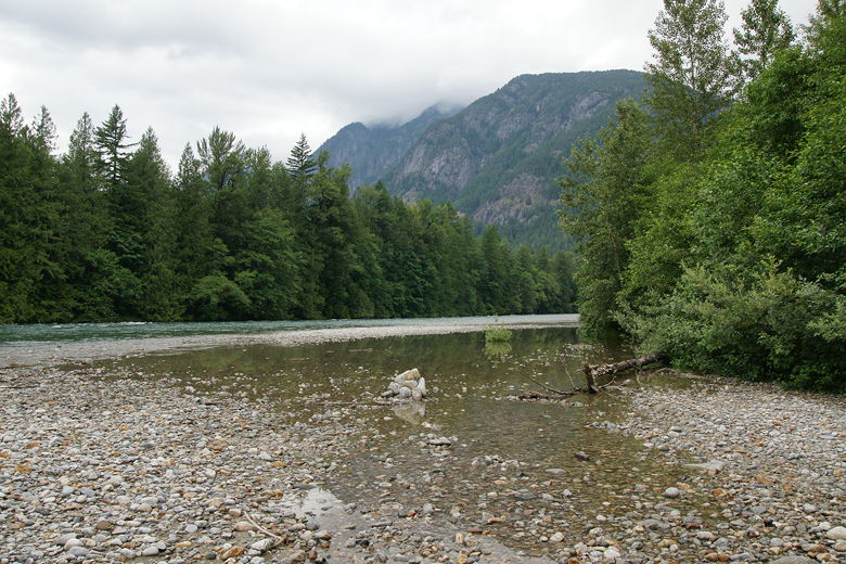
View from the gravel bar
Skagit River
We returned the way we came, making sure to take the left forks on the way back. I was a bit
thrown off when we passed a couple other hikers, one of whom was standing right in front of
a hard-to-see trail we were supposed to take. Luckily, Nathan saw it and immediately turned
left onto it. As it turns out, the couple were going the wrong way and soon followed behind us.
We followed the trail back onto the To Know A Tree Trail, past the walk-in sites, and back to our
camp site. A nice walk through a beautiful forest.
| 

