|
It was a nice warm sunny October day as we prepped in the parking lot. We could see some
fall colors from here, mostly yellow and orange along the road we had just driven on. Mostly
fishermen and photogaphers milled about. A couple of guys with tripods returned to their car
next to ours. I chatted with them briefly, asking them about South Lake. They'd been there
recently and couldn't really recommend it for colors right now. That jived with what I had
read, so I planned to skip it and visit Lake Sabrina, instead, tomorrow.
The parking lot is about 0.2 miles away from the actual start of the hike, at a gate at
the western end of the road. Well, the gate is closed at the end of September. In the summer
months it is open for people staying at the small North Lake Campground, but there's no day use
parking there. So unless you're staying at the campground, you'll have to park outside the
gate even in summer.
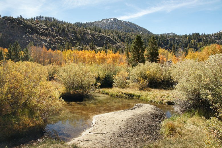
View from the parking lot
We walked along the dirt road to the gate, then walked around the gate and continued to follow
the road on the other side of it. We then walked along the empty campground road, which gradually
starts to climb. We saw some fall colors in the campground, but nothing spectacular. We finally reached
the Piute Pass/Lamarck Lakes trailhead about a half mile from the parking lot. The trail to the right heads
toward Piute Pass, and a couple of backpackers were heading that way just as we arrived.
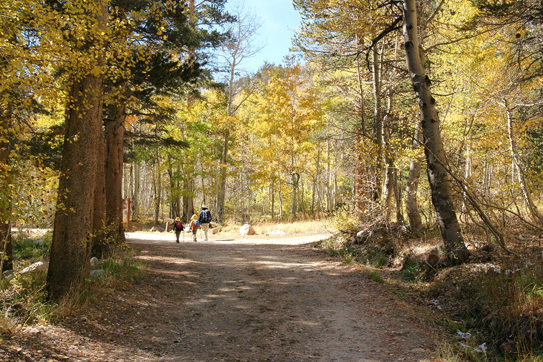
Walking on the campground road
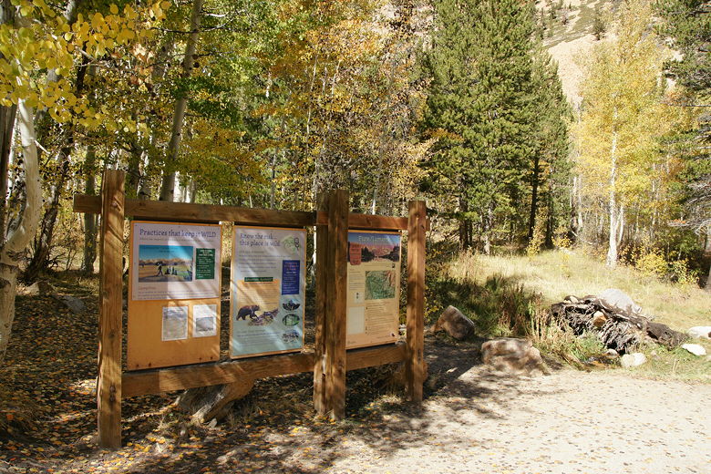
The trailhead
We continued straight past the restrooms and kept to the left onto the forested Lamarck Lakes trail.
Shortly, we crossed 3 small bridges over the North Fork of Bishop Creek. After the bridges, the trail
starts to climb in a series of switchbacks. There were thin patches of snow everywhere, remnants
of an early storm a week earlier. Also on the ground were lots of brown leaves, leaving many of the
trees mostly bare.
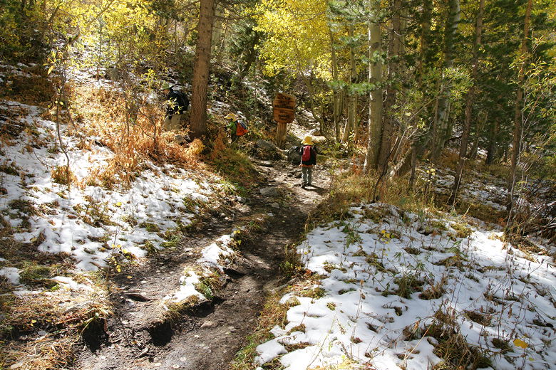
Heading up past the snow patches
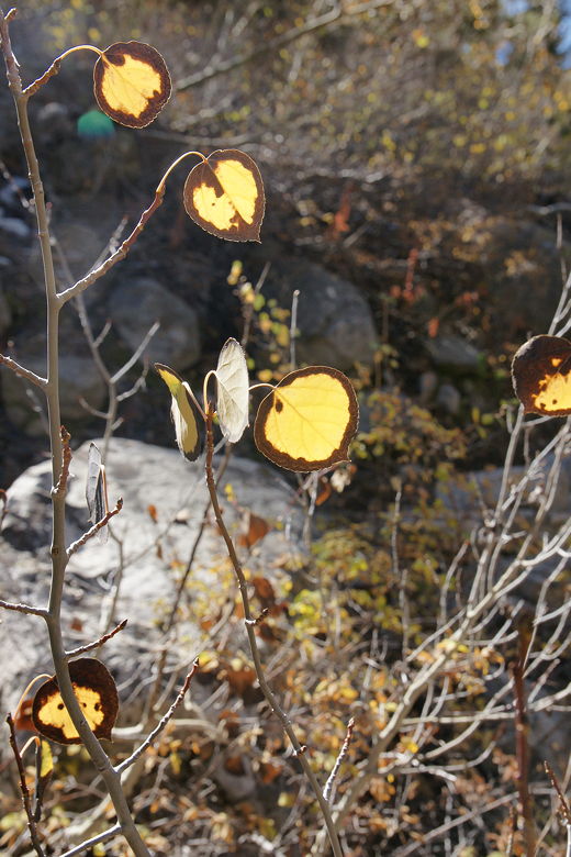
Backlit leaves
A woman and her dog passed us on these switchbacks, one of only a handful of hikers we would see
on the trail. Most people who visited the area remained at North Lake.
There's not much in the way of views along this part of the trail. After a half mile, the trail
starts to flatten out a bit. Then it climbs some more out into the open, with views of the surrounding
mountains. It's still uphill now, but not quite as steep, and not as densely forested as before.
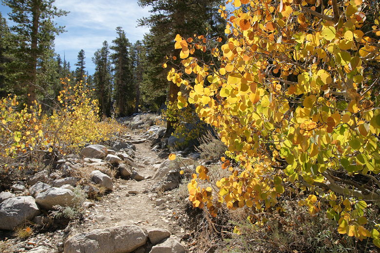
Continuing along the trail past a bit of color
Soon we reached a trail intersection. The right fork heads uphill to Lamarck Lakes, while the left fork
(which we took) leads downhill to Grass Lake. At this point, we ran into the woman with the dog we'd
seen earlier, heading in the opposite direction. She said the lake was gorgeous. In fact, I had
seen a picture of the lake (from summer) on a web site and that was part of my motivation for visiting it.
A few minutes of downhill later, we reached Grass Lake about 1.7 miles from the trailhead, and it
did not disappoint. Calling it a lake
is being generous -- pond is more like it. However, what it lacks in size it more than makes up for
in beauty. Here in front of us were three seasons -- a nice alpine lake on a warm summer-like day,
oranges and yellows of fall colors on the far side of the lake, reflecting in the water, and above it
all a snow-dusted mountain rising in the background. Large grassy areas surrounded the lake, mostly
on the south side and a bit on the north side, where we were.
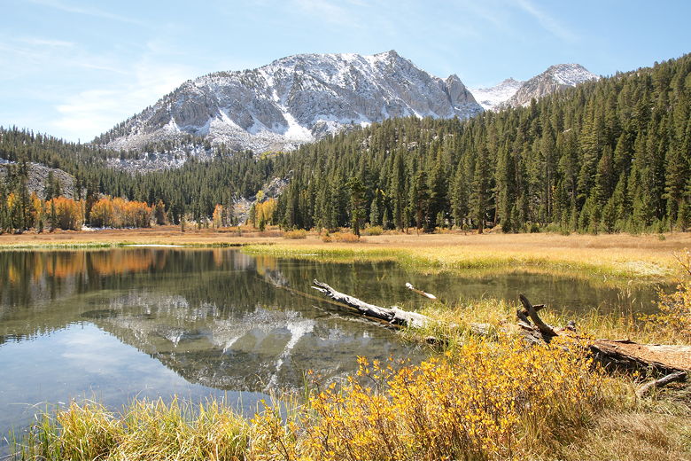
Grass Lake
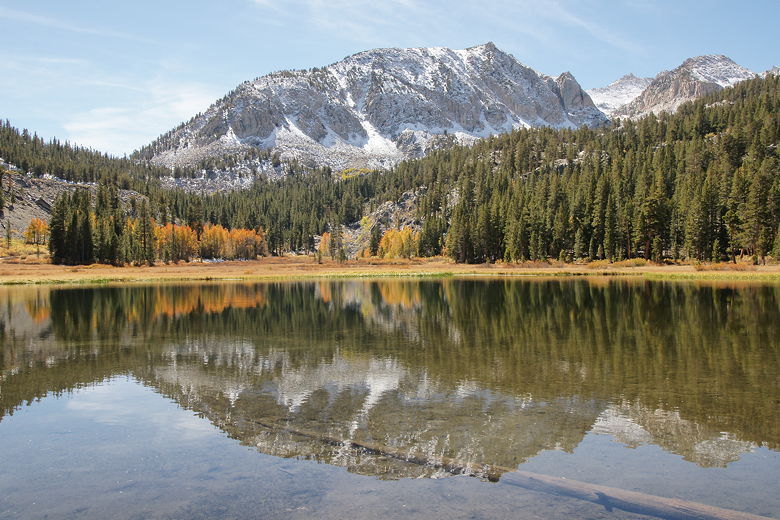
Grass Lake reflection
We walked east along the shore, finding a nice spot among some rocks on a little hill overlooking
the lake. Supposedly the fishing is good here, as well, and the kids did in fact enjoy watching
fish jump out of the water every so often. It also looked like there were some good areas
for camping near the northeastern side of the lake.
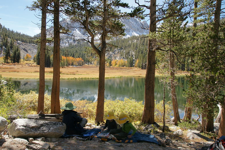
Lunch stop at Grass Lake
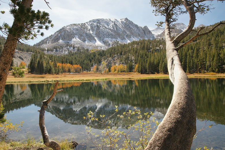
Grass Lake
After lunch, we decided to do a little exploring. We continued along the trail around the lake
to the east. We then rock-hopped (or rather, log-hopped) across an outlet stream, then continued
around the lake and meadow toward the orange leaves we'd seen earlier. We didn't get any really
spectacular views of the trees, but we did get some nice views of the jagged mountains to the
north known as Piute Crags.
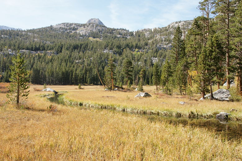
Stream
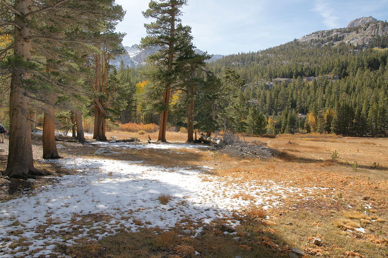
Patches of snow just southeast of Grass Lake
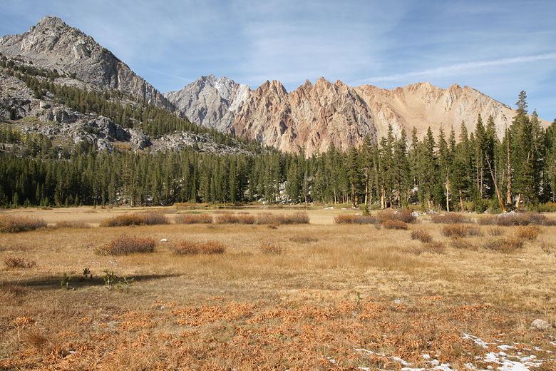
Looking back at Piute Crags
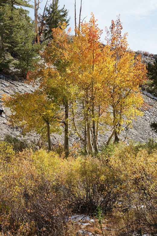
Colorful trees
After about a mile of wandering, we returned the way we'd come. I didn't know it at the time, but
I now suspect that we could have taken a different way back. Instead of crossing back over the
outlet stream, we could have followed the use trail parallel to the stream all the way back to
the gate near the parking lot. I would guess that it's a little-used trail and I'm not sure how well it
is maintained, but it's something to consider if you much prefer loops to out-and-backs.
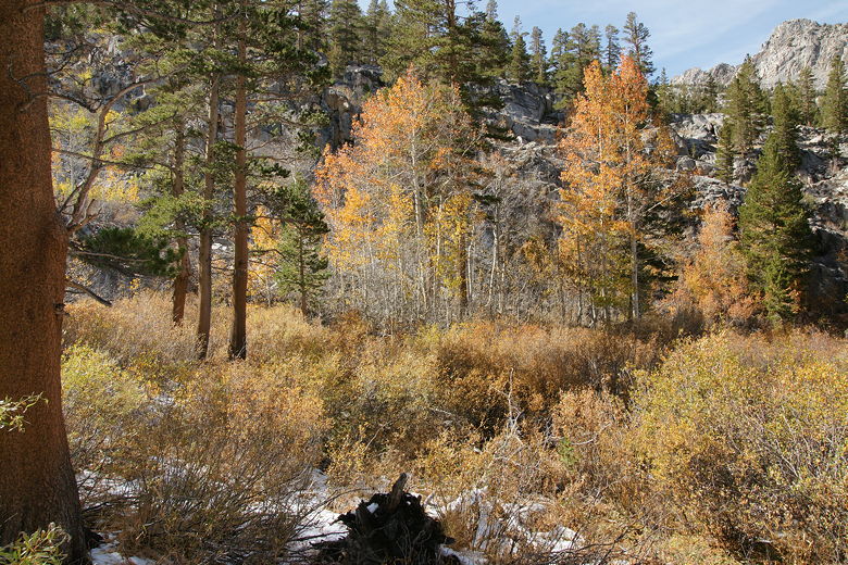
Fading color south of the lake
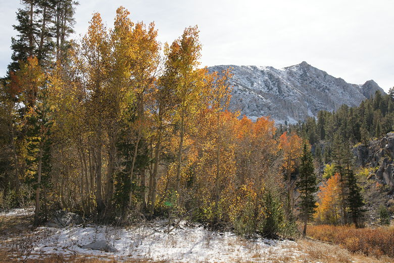
Color and some snow
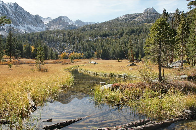
Stream
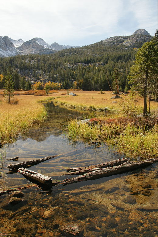
Stream
We didn't know that, however, so we crossed back over the stream, and then rejoined the main trail
and returned using the same route we'd used to get to the lake. It's a pleasant but not all that
exciting of a trail to and from the lake, but the lake and surrounding area is pretty enough to
warrant this hike an 8 rating.
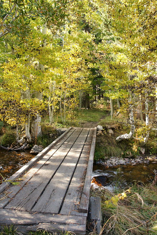
Bridge near the campground
| 


