|
We started off from the lower campground at 10:30am under cloudy skies. It wasn't windy, though,
and it didn't look like rain would threaten during the day. We started off by walking on the dirt
road back in the direction of the visitor's center. Before we got there, however, we turned right
onto the Smuggler's Cove Road.
The trail now climbed up the side of the hill, with views of the pier and the landing area. We
seemed to be the only ones out here, but the silence was soon broken by a weed whacker or some other
such machine from a maintenance worker down below.
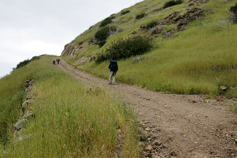
All uphill at the start
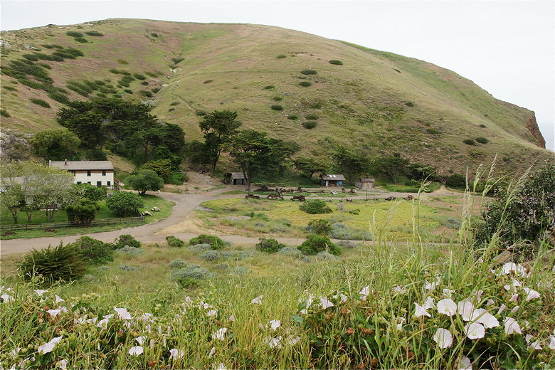
Looking down at the visitor's center (left) and picnic area
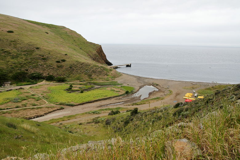
The boat landing area
As we climbed, we could easily see the trail to Cavern Point to the north that we'd climbed
yesterday. Near the top of our climb sat a couple of rangers in a pick-up truck, and they started off on the
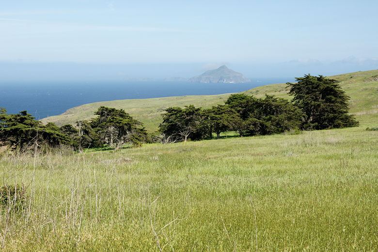
road ahead of us just before we reached them. The trail now turns inland, with views of grassy green
hills and Anacapa Island peeking out through the fog to the east. At our feet were caterpillars
and pill bugs. One thing we didn't see on this hike, however, was foxes, or any sign of them. Perhaps
they avoid open grassy areas to avoid eagles (just a guess). Golden eagles contributed to a precipitous
decline in their numbers from about 1500 to about 100 by the year 2000, but conservation efforts have
raised their numbers back to 1300 now.
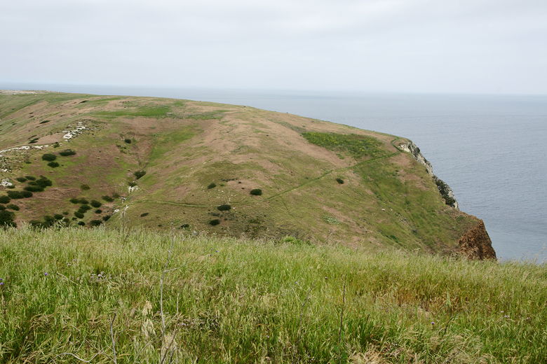
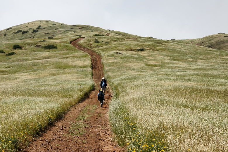
The Cavern Point trail is clearly visible
Another pickup truck with two rangers came up from behind us. They stopped and talked to us briefly,
making sure we had enough food and water. They apologized for the noise and promised they'd be the
last car we'd see driving along the trail today. They also said it would clear up in the afternoon,
but it actually started clearing up just a few minutes after we saw them. By noon, the clouds and
fog were gone.
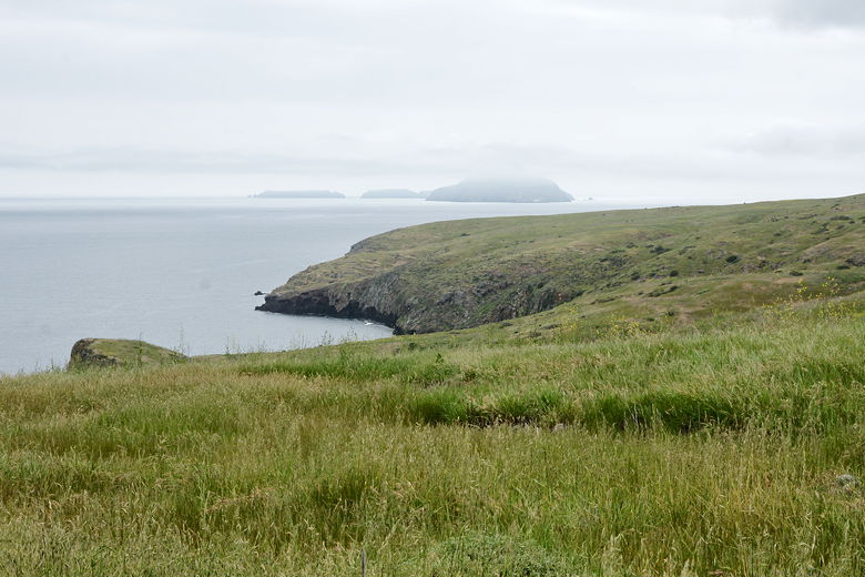
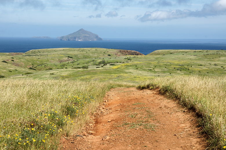
Looking out at Anacapa Island
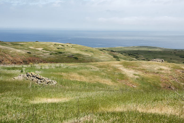
After about 1.75 of mostly gradual climbing, we reached a trail intersection. To the right is
a trail leading inland to the Scorpion Canyon Loop. We stayed to the left, staying on Smuggler's
Cove Road. The trail is now mostly flat for a stretch. At this point we started seeing large
cairns everywhere. There were some near the trail, and some all along the hills leading toward
the ocean. I'm not sure what they are -- maybe ancient burial sites?
Notice the large rock cairns
Anacapa Island in the distance
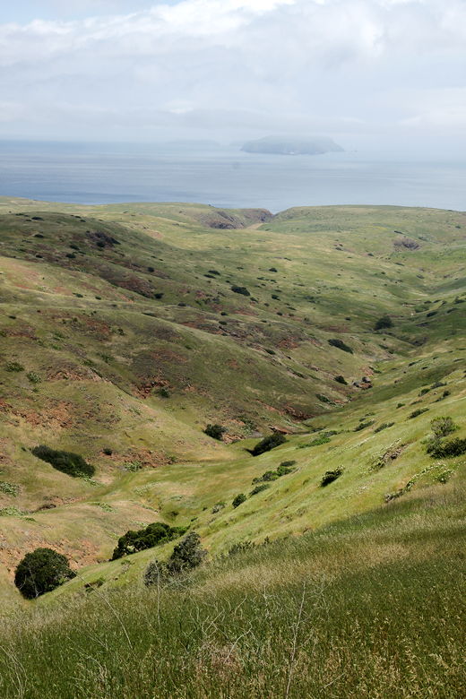
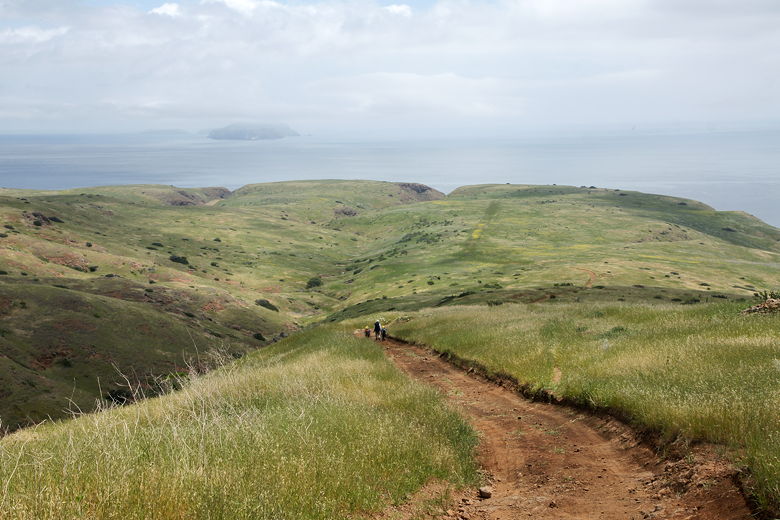
After 2.5 miles, and about 720 feet of climbing, the trail starts to descend steeply, heading straight
toward the ocean. The trail then flattens out and turns inland for a brief stretch before a final
steep descent to the cove, 3.8 miles from the campground.
Heading down the steep trail
The final stretch of trail leading down to Smuggler's Cove is lined with olive trees, planted
there sometime in the 19th century. At the cove are about 4 picnic tables, mostly shaded by eucalpytus trees.
There's also a pit toilet nearby (just like the ones at the campground).
There were 2 other hikers there when we arrived, the first people (other than the rangers) we had
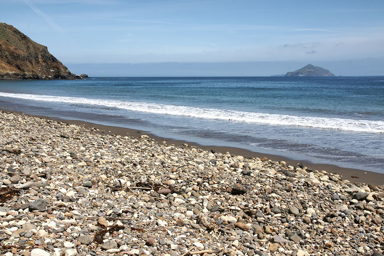
seen on this trail so far. In the cove were 3 small boats anchored just off shore. There's a large
rocky beach stretching in either direction. Anacapa Island looks so close you could almost touch it
across the channel. We could even see the lighthouse on the island.
Anacapa Island from Smuggler's Cove

View of the left edge of the rocky beach
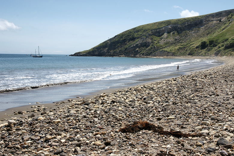
View of the right edge of the beach
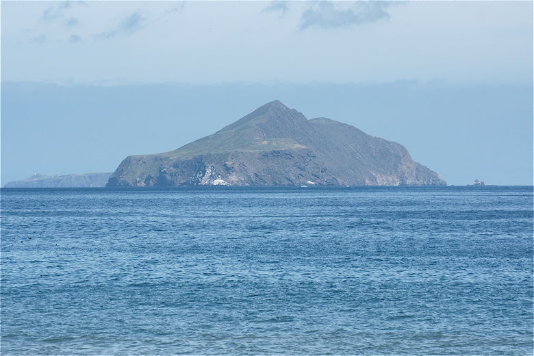
Zooming in on Anacapa Island
We sat at the picnic table and had lunch as waves crashed down on the rocky beach. Eventually the
two other hikers left, but 4 other hikers came as we were finishing up our lunch. After a 75
minute lunch break, we started the hike back, exactly the same route we had taken to get there.
Looking back at eucalyptus trees at Smuggler's Cove
Looking back at Anacapa Island
Time to head back up the steep trail
On the hike back, we only encountered two other hikers coming in the opposite direction. I was
surprised that none of the other 6 hikers we'd seen at Smuggler's Cove passed us. Perhaps they
were cutting cross-country to make a loop hike, or they spent time going on the spur trail going
up Montañon Canyon.
The wind started to pick up on the return trip, and clouds started forming over Anacapa Island,
which looked dramatically smaller now as we hiked away from it. We stayed on Smuggler's Cove
Road, passing the trail intersection again. On the final descent to the campground, I was
glad to have my trekking poles. Even so, I slipped once on the small rocks on the trail.
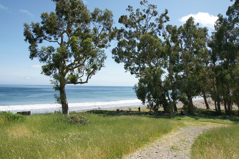
Once at the bottom, we shortly made our way back to the campground to the left.
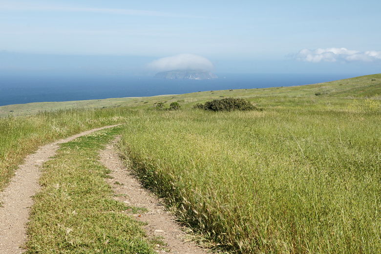
Anacapa Island is engulfed by its own private cloud
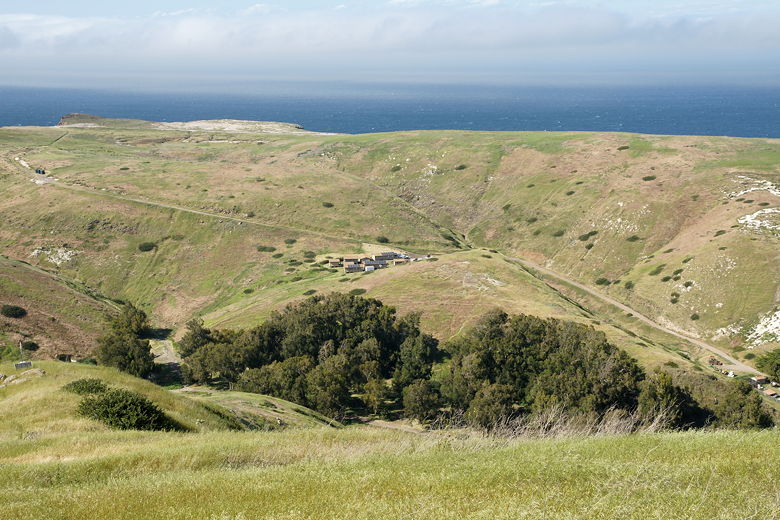
Looking down at the eucalyptus trees concealing the lower campground
Anacapa Island escapes its cloud
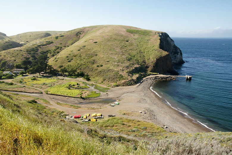
The boat landing area
| 

