|
We started off on a hike from the Ravine group campground at 11:30am on a beautiful
summer day. From the site, we climbed up the steps to the parking lot, then turned
left onto the paved service road. After walking on pavement for a few minutes, we
turned left onto the trail, and then immediately right onto the Iverson Trail toward
the Pomponio Trail. If you aren't camping at the group campgrounds, you could start
a similar hike from the Madrone day use area (just before the visitor center). From
there, just take the Iverson trail toward the service road, turning left just before
reaching the service road.
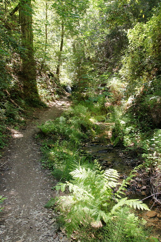
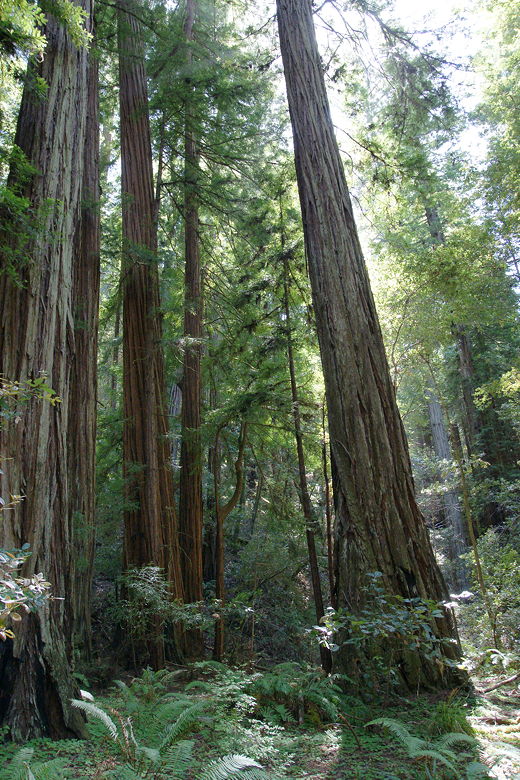
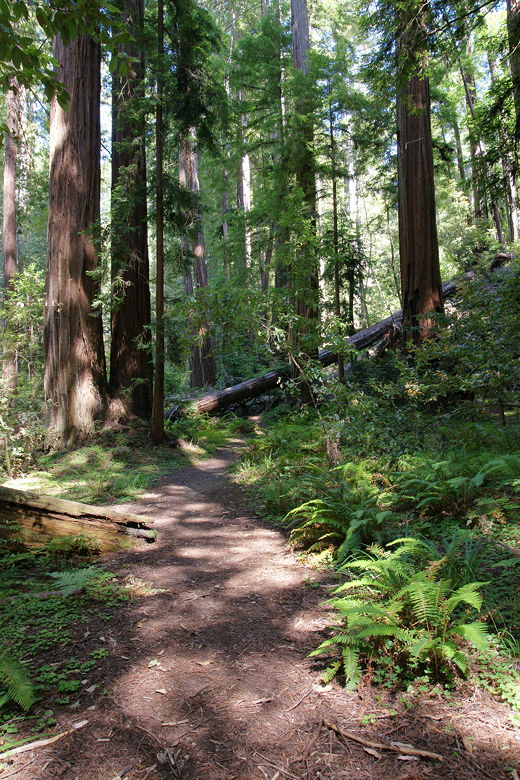
The trail can be described almost exactly the same for much of the hike: shaded,
dense forest with some redwood trees, ferns, and lots of banana slugs along the way.
The kids made a game of counting the banana slugs they saw, and they reached over 25
on the day before they lost count.
At the next trail intersection, the Iverson trail turns left, but we continued straight
onto the Pomponio Trail. We soon ran into a couple of people doing trail maintenance.
They were doing the hard work of cutting portions of a tree that had fallen mostly
lengthwise on top of the trail. They said they'd have it cleared by the afternoon.
For now, though, we thanked them and carefully made our way under and over branches
to continue on the trail.
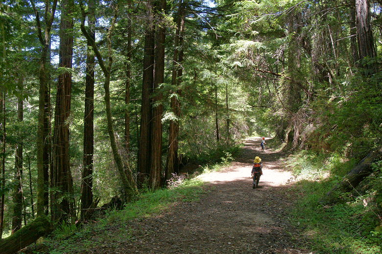
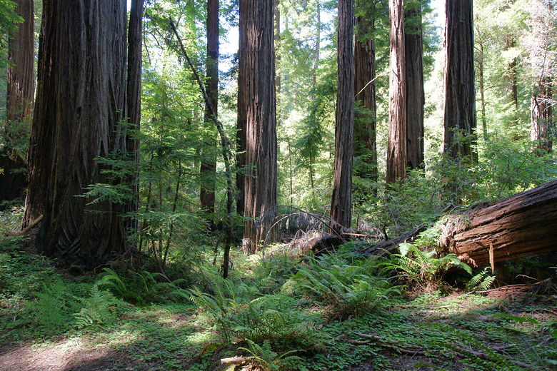
Hiking on the Pomponio Trail
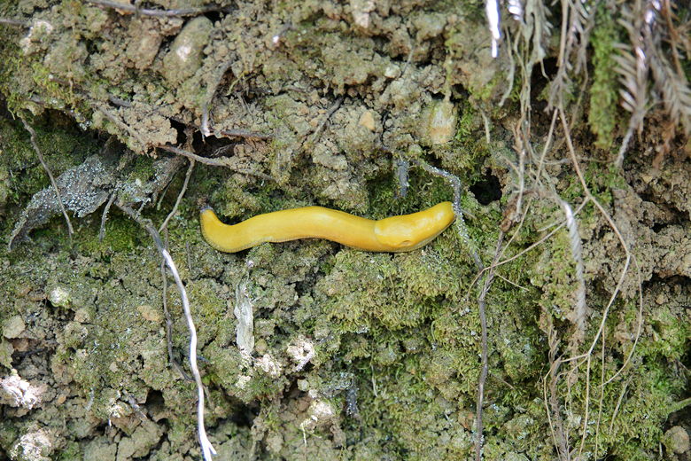
Omnipresent banana slug
After a little more than a mile, we reached another intersection, turning left onto the
wide road that is the Bridge Trail. Shortly after that we reached a large bridge over
Pescadero Creek. There are use trails on either side of the bridge leading down to the
creek itself. We took the near trail down, reaching a nice secluded peaceful section
with fluffy grasses and plenty of good skipping rocks. We settled down for lunch and a
long break.
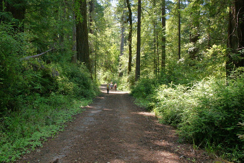
Hiking on the Bridge Trail
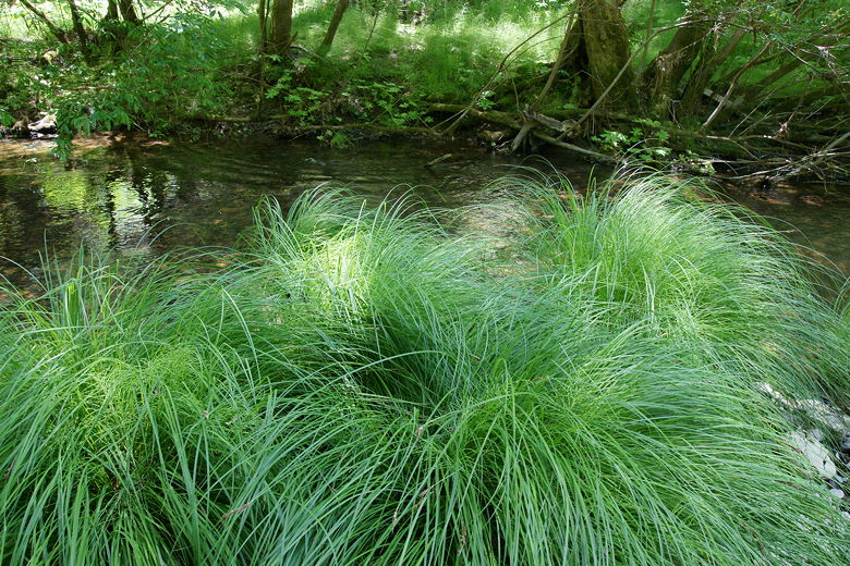
Grasses at Pescadero Creek
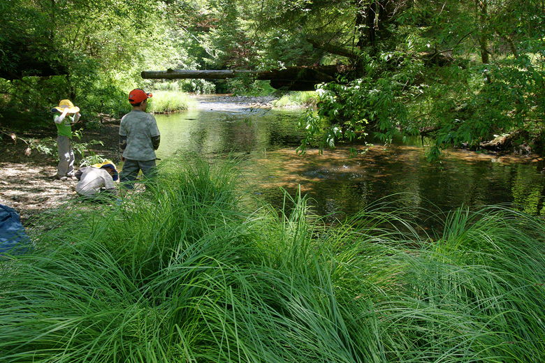
Playing at our lunch stop
After lunch we continued along the Bridge Trail. We passed another trail intersection,
staying on the Bridge Trail, then at the next one stayed left onto the Old Haul Road.
Though I didn't find any of it really familiar, we'd done almost the exact same hike up
to this point 12 years ago. Then, we'd turned right onto the Old Haul Road instead of
left, and continued on for a nearly 15 mile hike. Then, too, we hadn't stopped to enjoy
the creek itself. I doubt we had even noticed the trails leading down before.
It wasn't clear to me from the map that we could reach Tiptoe Falls from the Old Haul
Road. I thought we might have to go all the way down to Iverson's Cabin Site and then
backtrack. However, we didn't have to. We turned left onto a singletrack trail leading
to the Iverson Trail and the trail to Tiptoe Falls. From the Iverson Trail, there's a
short spur trail leading to the falls, and it's well worth it to visit. The falls
themselves are only about 5 feet tall, but a nice visual treat with a tiny pool at the
base of the falls, and ferns lining the trail toward the falls. We were briefly the
only ones there, until another group of 4 hikers came by.
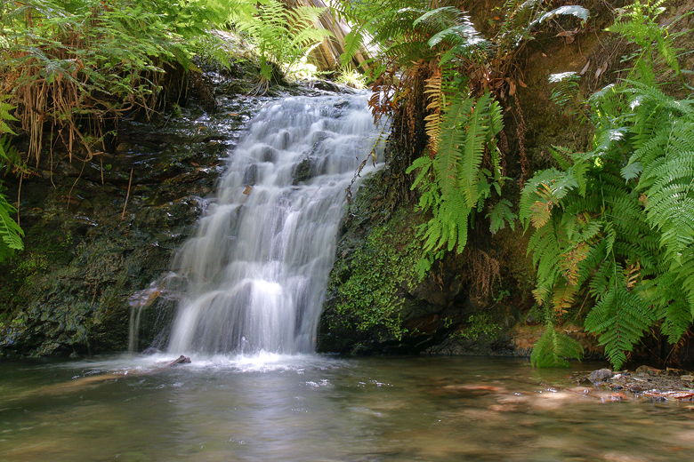
Tiptoe Falls
Ferns along trail leading toward Tiptoe Falls
We returned to the Iverson Trail and shortly reached the edge of Pescadero Creek once
again. We stopped here for another break, then returned to the Iverson Trail. Soon
after that we walked through the Turitz Grove, a pretty grove of redwood trees. At
the next trail intersection, instead of turning right and heading toward the visitor's
center, we stayed left on the Iverson Trail toward the Pomponio Trail. Before we reached
the Pomponio Trail, we reached another crossing of Pescadero Creek. We stopped here
for another break, as it's another great place to enjoy the water.
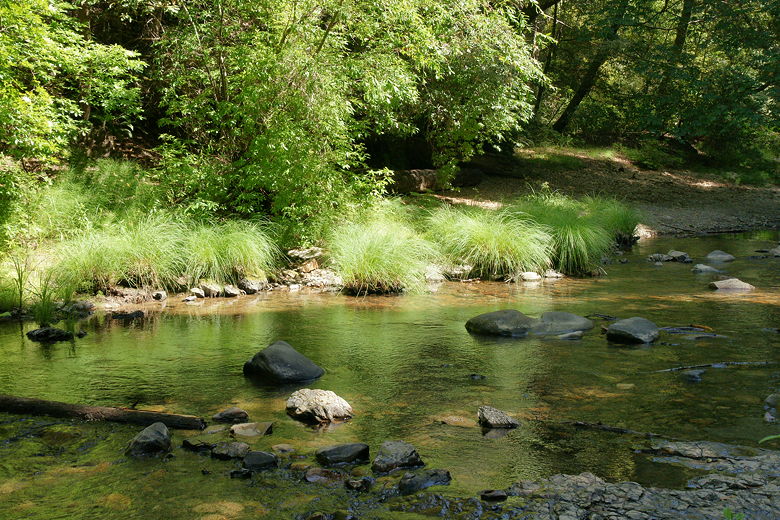
Pescadero Creek
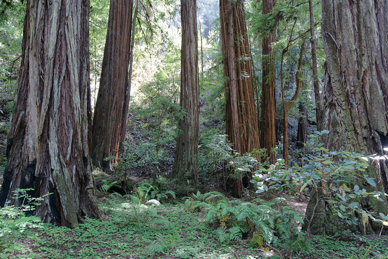
Turitz Grove
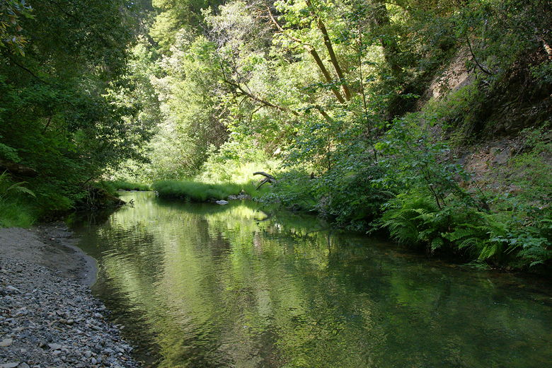
Another section of Pescadero Creek
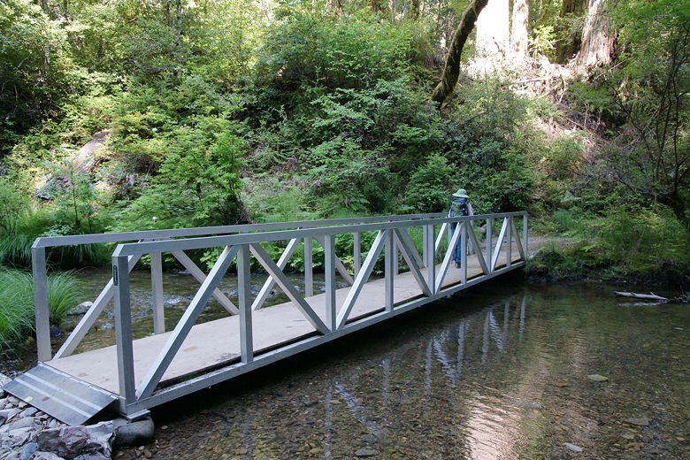
Bridge over the creek
After crossing the creek over a small bridge, we soon reached the Pomponio Trail.
There we turned right, back onto the trail we'd been
on near the start of the hike. Shortly, we turned left and then immediately right back
onto the pavement of the service road, then returned to the Ravine group camp after a
pretty hike with plenty of opportunities to visit the water's edge.
| 

