|
As I've probably mentioned before, in general I try to avoid doing the same hike twice.
Last night, I was trying to find a relatively short hike in the Bay Area, and noticed that
the Pulgas Ridge Open Space Preserve now had a new trail that wasn't there when I'd visited
back in 2000. In 2007, the preserve added the Dusky-footed Woodrat Trail. I thought this
would be a perfect opportunity to try it out.
The parking lot, with space for about 15 cars, was almost full when we arrived in late morning. There's
a fair bit of turnover, however, and there's also a bit of overflow space by the side of
Edmonds Road. The first thing you'll notice is that almost everyone visiting the park has a
dog. That's because the preserve has a large off-leash dog area.
We headed up the mostly shaded Blue Oak Trail, gently switchbacking up the hill for 0.4 miles.
Instead of continuing into the off-leash dog area, we turned left onto the Dick Bishop Trail
just before it. This trail also did not exist back in 2000. It basically parallels the dog
leash area for 0.7 miles, giving hikers a mostly dog-free alternative. It does add about 0.2
miles to the trip, but I'd recommend it just for the fact that it seems less crowded. It
continues to climb, and goes in and out of the shade of trees. We saw a raptor or two soaring
overhead in the bright sunlight.
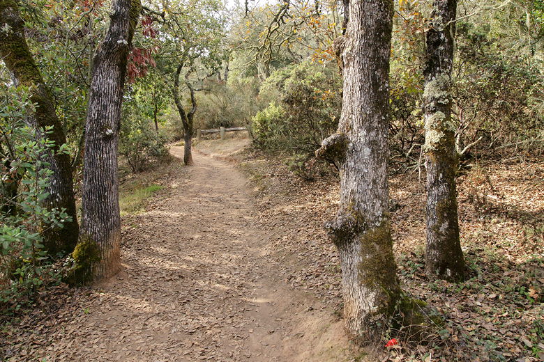
Blue Oak Trail
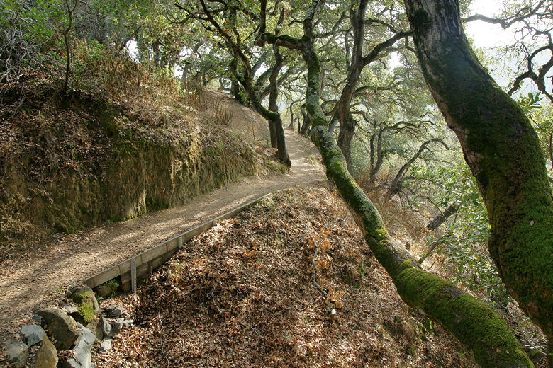
Dick Bishop Trail
Soon enough we reached another trail intersection. Ahead of us was the Polly Geraci Trail;
to the right of us was the dog leash area. We took the trail to the left, the
Hassler Trail. This is a paved trail heading uphill. We did not see cactus on this trip, which is
something I did see back in 2000. Apparently, this used to be the site of a tuberculosis
sanitarium and they planted many non-native species here. The sanitarium was demolished in 1985,
but the non-native species remained until more recently. I have read that the cacti were removed
sometime in the last 11 years, although I think I encountered them in the off-leash dog area last
time, so I can't say for sure since we didn't visit that area this time.
The Hassler Trail continues up toward the vista point exit from Interstate 280. As before, there
are still 3 fences to separate you from that parking lot. Before, the trail used to dead end
here. Now, however, we turned right onto the Dusky-footed Woodrat Trail. We didn't see any woodrats
on this trip, although it's possible we saw some of their homes next to the trail.
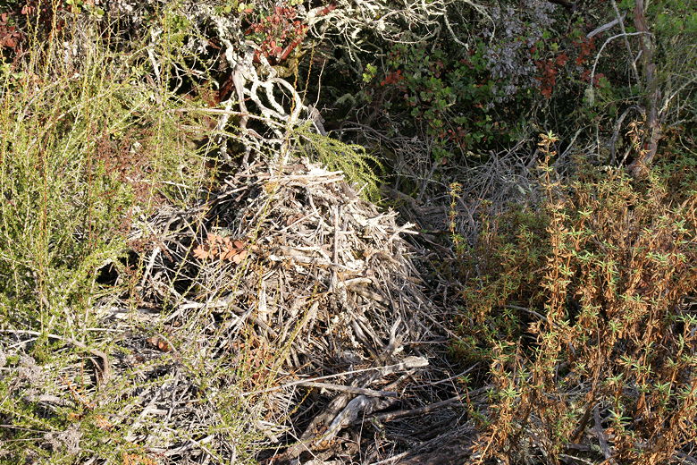
Possibly a woodrat home?
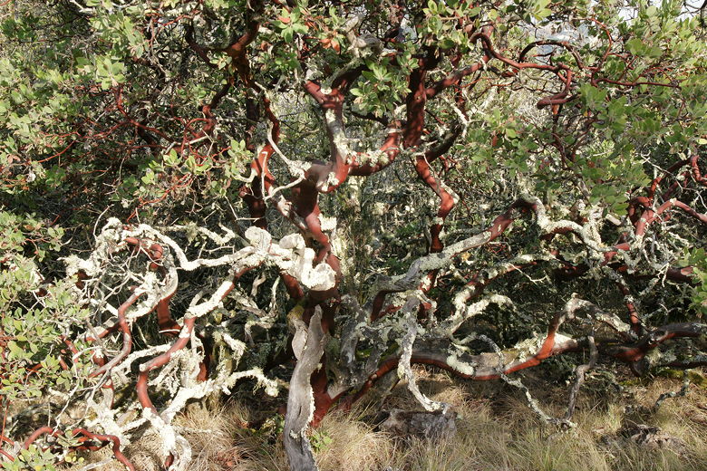
Manzanita on the Woodrat Trail
Soon after starting downhill on this trail, we heard the loud whooshing sound of cars speeding by on the
freeway. Thankfully, the sounds mostly dissipated after a few minutes as we hiked further away from
the freeway. The trail starts out downhill, then starts to climb again. The trail starts out in the
forest but then becomes unshaded.
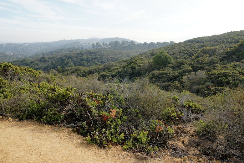
After climbing a bit, the trail starts to level out, with some views of the surrounding hillsides.
We stopped here for a lunch break by some rocks. There are not a lot of great lunch spots here to
choose from. There was no shade here, but it wasn't too warm. We had views looking south across
the preserve and to the surrounding neighborhoods. It was
a very hazy day, however, so the views were not as good as they could have been.
View from the Woodrat Trail
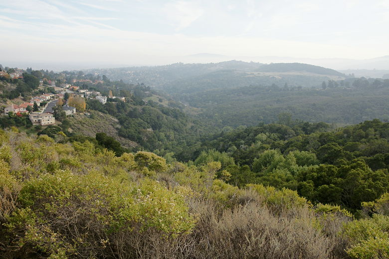
Hazy view looking south
While we were here, one woman walked by with her two dogs off-leash. This was the only time during
the entire hike that we saw dogs off-leash where they weren't supposed to be. The dogs didn't
bother us, though. After lunch, we continued on the trail, climbing to the high point of the hike
before starting a longish descent.
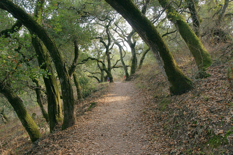
The descent is well switch-backed, so it's not very steep at all. It re-enters the forest and this
is some of the nicest section of trail in the park. Near the bottom are some streambeds and some
footbridge crossings. The streambeds were mostly dry, however. I would guess that during the winter
after a storm this would be a nice area to visit.
Descending the Woodrat Trail
After 2.2 miles on the Dusky-footed Woodrat Trail, we turned left and shortly came to the Cordilleras
Trail. This was temporarily closed due to some construction, so we now had take a short detour.
We turned right onto a paved trail up to a gate, then entered the dog area. A few minutes later,
we were back at the intersection where we'd taken the Dick Bishop Trail. Having completed our
loop, we turned left and descended the Blue Oak Trail back to the parking lot.
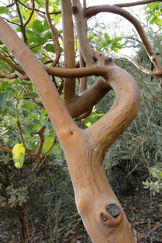
Smooth bark of a Madrone on the Blue Oak Trail
| 

