|
The inner parking lot was full when we arrived on this bright sunny winter's morning,
but there was plenty of space in the outer dirt lot. We walked past the visitor's center
and through the inner parking lot and started up the Sylvan Trail. It starts out as a wide
dirt road, climbing as it curves by some picnic areas.
It then turns to singletrack as it continues through the forest. After climbing on the trail
for about a mile, we emerged to view a mostly treeless section of hill in front of us, with
raptors soaring overhead. Shortly, at the trail intersection, we turned left onto the
Serpentine Loop trail. There are lots of trails that criss-cross the park, so you can easily
make up a trip that goes from about 0 to 5 miles. We were planning to do a 4 mile hike today,
which would basically circle the park.
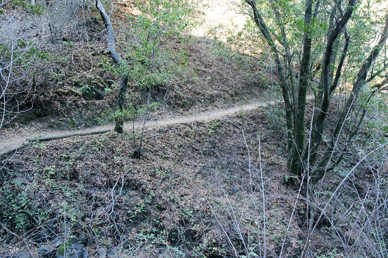
The Sylvan Trail
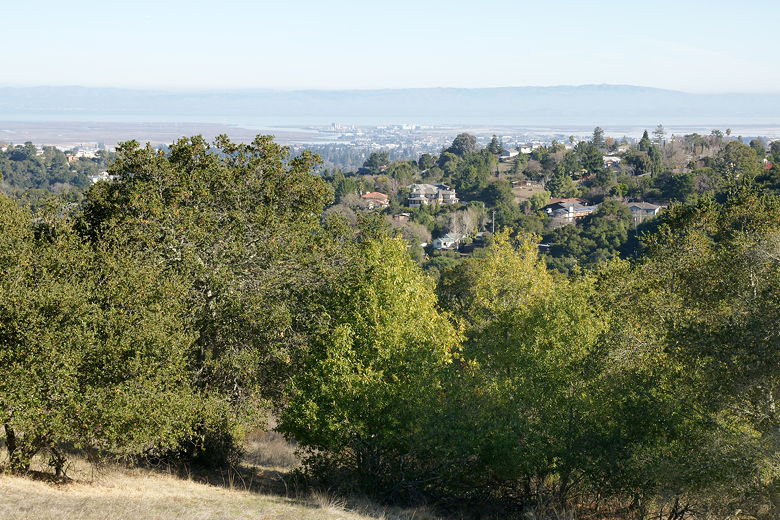
First views of the bay from the Sylvan Trail
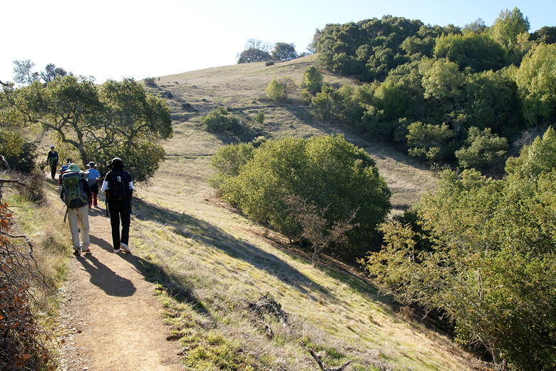
Approaching the Serpentine Loop Trail
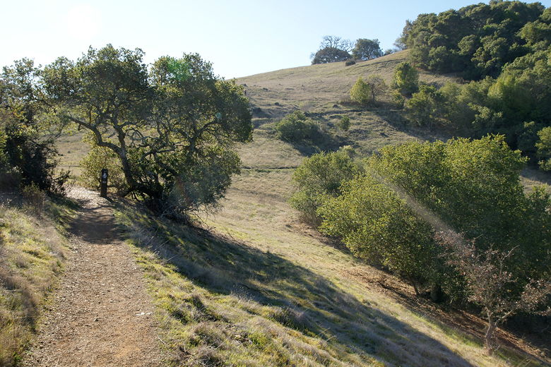
We now had some of the best views in the park, looking out across San Carlos, Redwood Shores,
and San Francisco Bay. At the next intersection, we turned left to stay on the Serpentine
Loop. We now approached the Sunset Trailhead (near the intersection of Sunset Way and Hillcrest).
There are 4 entrances to the park -- the main entrance, the Sunset Trailhead, the Clarkia Trailhead
off Canada Road close to where it crosses under 280, and the Edgewood Trailhead, which is actually
outside of the park near Edgewood and Canada Road (the trail enters the park after a half mile).
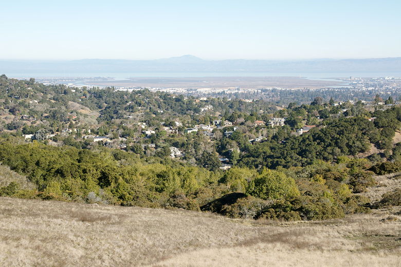
View of the bay from the Serpentine Loop Trail
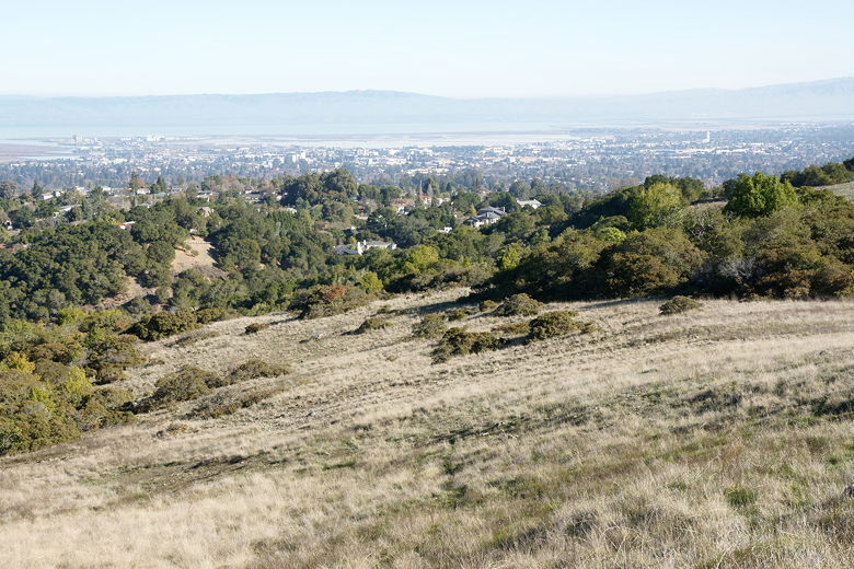
We next turned right to stay on the Serpentine Loop, which was now a wide dirt road next to a wooden
fence. Signs in the area warn visitors to stay on the trail to prevent damage to the surrounding
habitat. There are also some interpretive signs scattered here and there throughout the park.
This part of the trail is out in the open, with views of the main park hill to the right and Interstate
280 to the northwest. When we reached the intersection with the Edgewood Trail, we were very close
to 280. We passed the intersection and then shortly turned right onto the Franciscan Trail, another singletrack
trail. Lots of trail runners passed us as we settled down for lunch here. There aren't a lot of great
places to stop for lunch on this hike -- there is a bench we'd see later on the Franciscan Trail near
the Serpentine and Sylvan Loop trail, but that's about it. Other than the picnic areas close to the
park entrance.
After lunch, we continued up the Franciscan Trail, past two intersections with the Ridgeview Loop,
then started our descent. We took the Franciscan Trail all the way to the Edgewood Trail and then
turned right, following the Edgewood Trail another half mile back to the parking lot. By this
time (around 1:30pm), both the inner and outer lots were full, and there were cars parked
along the side of Edgewood Road.
| 


