|
As we approached the trailhead, I became a bit concerned. There were so many cars on the narrow road, which requires cars to stop to let each other pass in the opposite direction. There were so many cars that I began to wonder if the trailhead parking lot would be full. As we approached the trailhead, we saw cars parked along the side of the road, under the trees, not a good sign.
When we reached the trailhead parking area, it was completely full. Cars were packed together, and we had to leave the parking area and head back down. I looked for a spot, finally finding a solitary spot amongst the trees about a quarter mile away. Since it was already after noon, we decided to eat lunch at the car.
We finally got underway around 1:30pm under bright sunny skies, not a cloud in sight. After a quarter mile hiking slightly uphill on the road, we reached the parking area, then crossed a bridge from which we could see Lily Lake through a gap in the trees. We reached the trailhead itself, then filled out the day use permit which is required for anyone entering the Desolation Wilderness.
The first part of the trail is along a rock and gravel road, mostly flat. After about a half mile, it starts to climb a bit. It passes several structures, some of them currently in use as private residences, others in varying states of decay. Private vehicles do use the road (such as it is), but they are few and far between, and only authorized vehicles (presumably the private residence owners) are allowed.
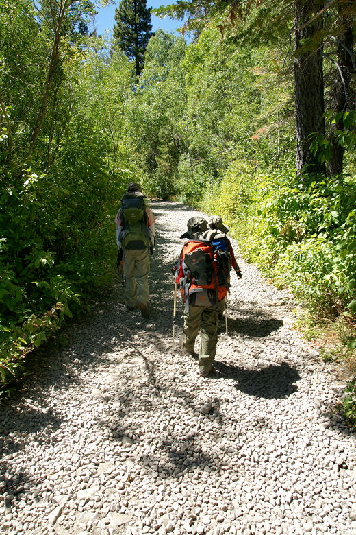
Hiking along the very rocky road
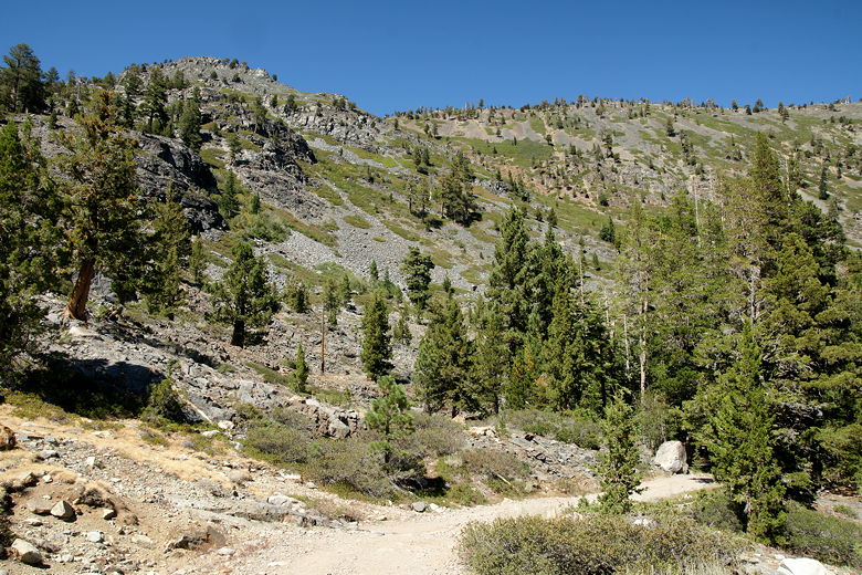
Looking back (north) at the view
After about a mile, we reached Glen Alpine Springs, which was once a resort centered around the springs. Several structures are still standing here, along with some interpretive displays explaining some of the history of the resort.
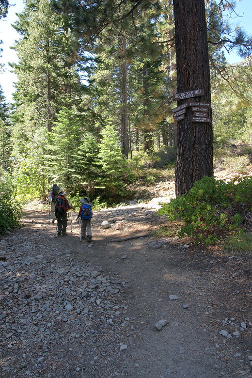
Passing through the Glen Alpine Springs area
Shortly, we reached the end of the road and a sign telling us we were on the trail to Susie Lake and Grass Lake. After hiking on this trail for a while, I asked an oncoming hiker where the Grass Lake spur trail was, and as it turned out, he said it was only a couple hundred feet ahead. Soon we found it (about 1.7 miles from the trailhead), and turned left to head to Grass Lake. The right fork continues on to Susie and Heather Lakes, which we visited last year as part of our backpacking loop. It also heads up to Mt. Tallac; we'd taken that route when descending from Mt. Tallac in 1999, though on Monday we'd be following the route I'd taken in 1997, coming from the other direction.
We now had 3 stream crossings, or at least that's what my hiking book said. I'd brought our sandals just in case, but as it turned out, we didn't need them. It was the first day of September after a dry winter. So...the first stream crossing was completely dry. The second crossing was an easy rock-hop. The third crossing was completely dry. Of course, if you come in June or July, you may have a different experience.
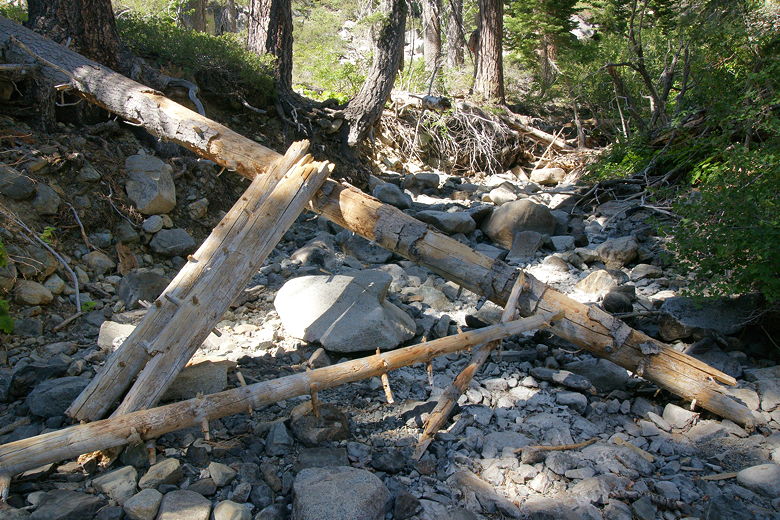
Log over first stream crossing
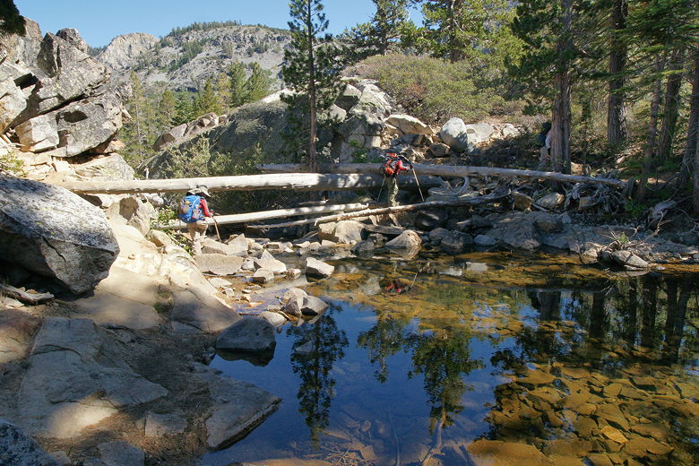
Second stream crossing
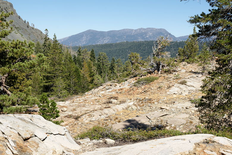
Looking back (east) at the view
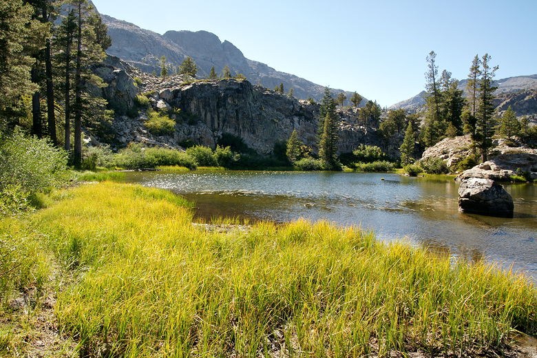
About 2.8 miles from the trailhead, we reached the edge of Grass Lake. We ran into a couple and their dog, who we'd seen at the start of the trail. They were now leaving the lake and said there was a good spot for a break at the end of the trail up ahead, and it wasn't too far. We followed the trail to the end and indeed settled on a nice spot with ample shade and views of much of the lake.
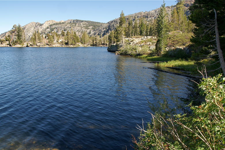
Southeastern shore of Grass Lake
Grass Lake
I was surprised when we reached the lake that we were the only ones there for a brief time (after the couple and their dog left). After seeing so many people at the trailhead, I was worried it would be crowded at the lake. A group of three hikers came by later, and then a couple of backpackers. They started to try crossing a shallow section of the lake in their bare feet before running into problems and giving up, retreating and then walking around instead. We didn't see any good campsites on the southern edge of the lake, but perhaps there are some on the northern side.
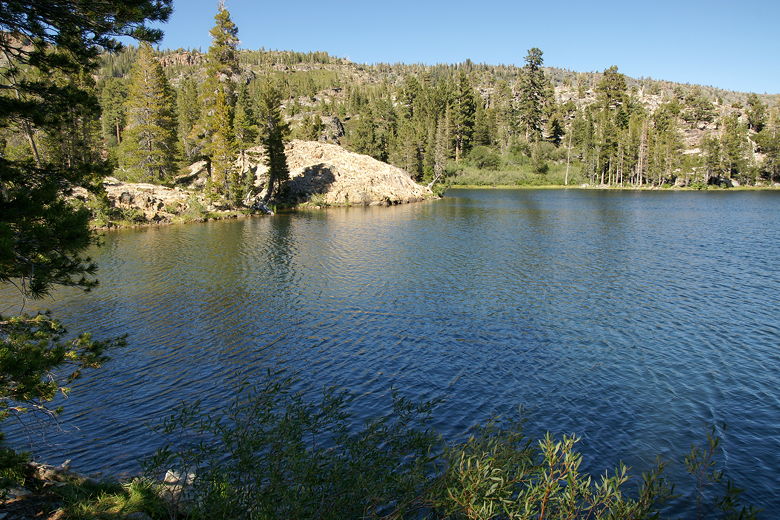
Grass Lake
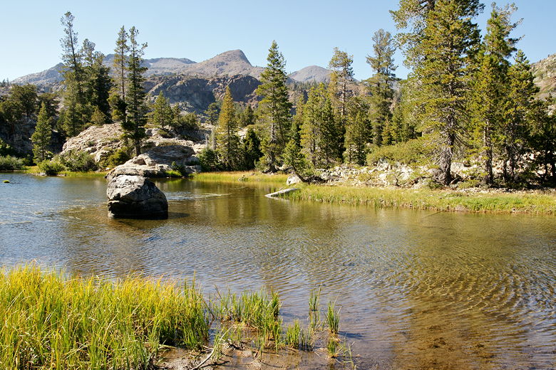
Shallow part of Grass Lake
After a nice hour-long break at the lake, we packed up and started the return journey. It had taken us about 2 hours to reach the lake, and it would take us about 1.5 hours to return, as most of the return journey is downhill or flat.
Looking back at Grass Lake on our way out
On the way back, we saw a group of backpackers heading out in the late afternoon. Not sure what their destination was -- it could have been Grass Lake, or Gilmore Lake, or Susie Lake.
When we arrived at the parking lot just before 6pm, it was surprisingly still mostly full. I'm not sure where all these people were. A handful may have been backpackers, but others may have been people making the short stroll over to Lily Lake, while others could have been out doing longer hikes.
| 

