|
There was a lot of traffic through the Stateline area, but it only delayed us 5-10 minutes. We drove up the eastern shore of Lake Tahoe on another bright sunny day. Cars lined the highway near Zephyr Cove. We kept going, past the 28/50 split. About 2.4 miles past that split, we saw the green gate that we knew signaled the trailhead. There's no other indication that the trail to Skunk Harbor starts here.
I'd read that parking was scarce, and we could see cars lining the side of the road on either side of the highway. However, since it was now almost 4pm, we managed to find a spot near the trailhead, albeit rather close to the freeway. Make sure you don't park in front of the gate (there are clear "no parking" signs there). Cars have been known to be towed from there.
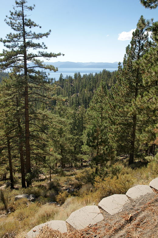
View of Lake Tahoe from the trailhead
After prepping, we started hiking down from the gate, along the road that starts out paved for the first couple hundred feet. The trail starts a gradual descent through the forest. Lake Tahoe is initially visible above the treetops, but disappears from view shortly. The road turns to dirt, but it's a very easy surface to walk on. No troublesome rocks like on the path to Grass Lake.
After a short distance, we saw a spur trail leading up steeply to the right. From the satellite pictures, it looks like it leads up to a larger parking area along Highway 28, a bit north of the green gate and smaller pull-out area.
We stayed on the main trail, which curves to the left. Visible further down to the left is Prey Meadows, which is apparently filled with wildflowers in the spring. At this time of year, it was mostly brown.
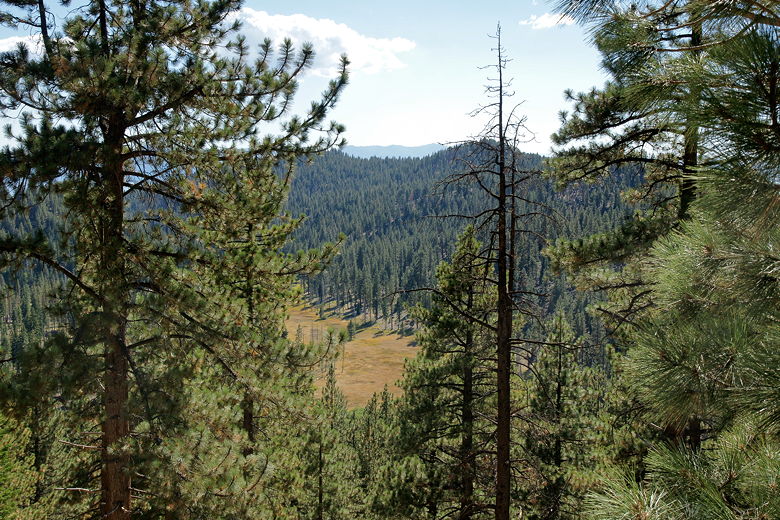
Prey Meadows
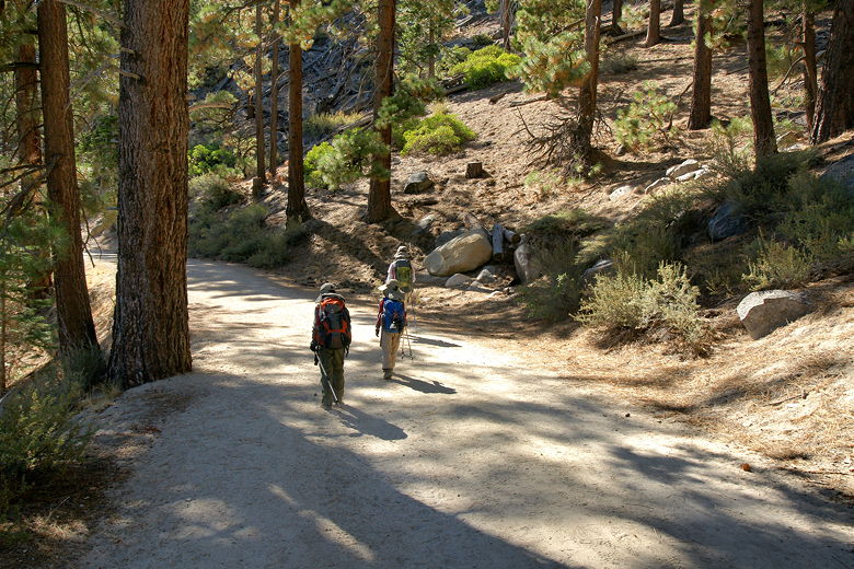
The wide road/trail
We continued descending gradually along the trail, until we reached a trail intersection about 0.4 miles in. To the left was a dirt road down toward the meadows. The road we were on continued straight ahead, while there was a singletrack trail to the right. It wasn't clear to me where that led, so I asked some people who happened to be coming up just to confirm that the road straight ahead led to Skunk Harbor. They assured me that it did.
The trail now starts to descend more steeply. Across Lake Tahoe to the right, we saw the signs of what looked like a fire.
Later, I'd find out that it was actually in the Desolation Wilderness, where we'd be hiking the next day. It was in the Duck Lake
area, which is near the northern edge of the wilderness. Thankfully the fire was under control and wouldn't cause any
problems the next day.
We saw a lot of people around this section of trail, most of them coming back up, many with dogs, lawn chairs, or coolers, or some combination of the three. Near the bottom of this somewhat steep descent, we saw a large stack of timber, hundreds of downed trees stacked on top of each other. Some people had written on the ends, leading me to believe the stack has been here for a while. We'd see another stack later on in the hike.
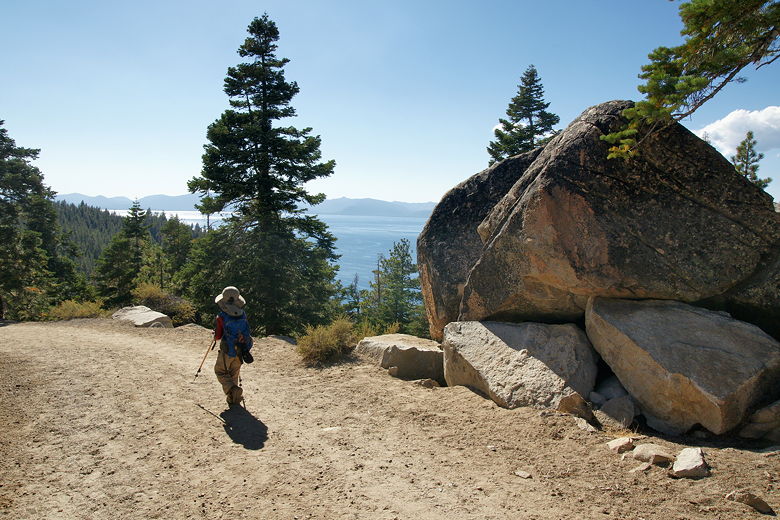
View of Lake Tahoe from the trail
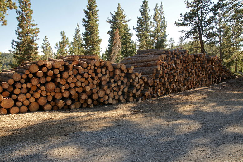
Log pile
The trail flattens out briefly, then continues the descent, but at a slightly more gradual pitch. There are some shortcuts visible to the left, but we kept to the main road. We could now start to hear the sound of people and music at Skunk Harbor below. The trail does a u-turn before starting the final descent.
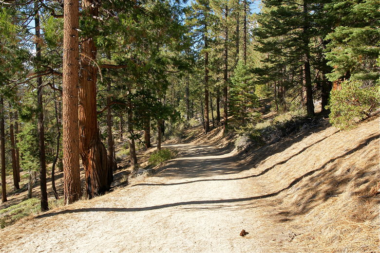
Gentle descent on a wide dirt road/trail
A pick-up truck actually passed us on the descent. That was the only car we saw on the trail, though we saw one other parked at the bottom. Shortly, we reached the harbor area. We kept to the main road to the left, although it looks like it's possible to access the beach to the right, as well.
To the left, we soon reached a large house - the Newhall House, which was built back in 1923. It's boarded up now. We took the trail right next to the house and down to the beach. There were a few boats in the harbor, and maybe 30-40 people were enjoying the harbor. We settled down on the beach, and the kids enjoyed playing in the water.
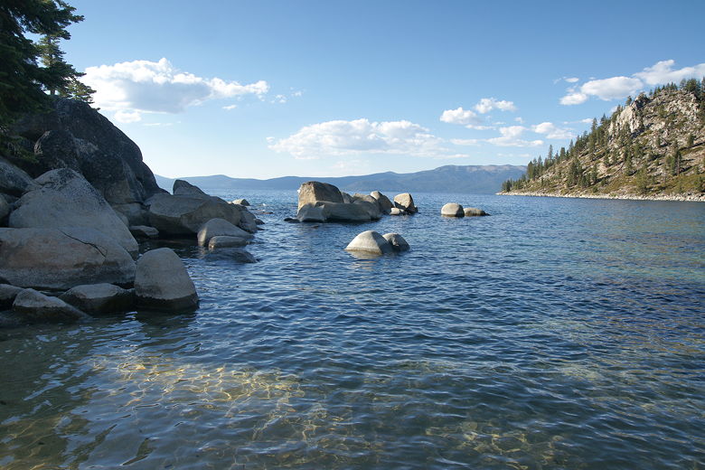
Skunk Harbor
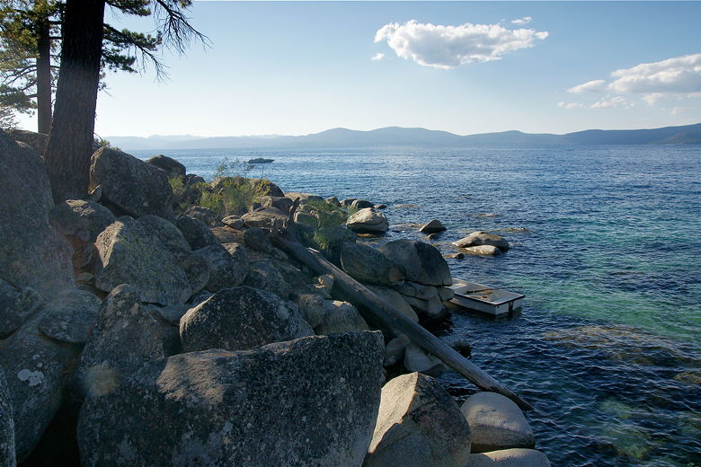
Skunk Harbor
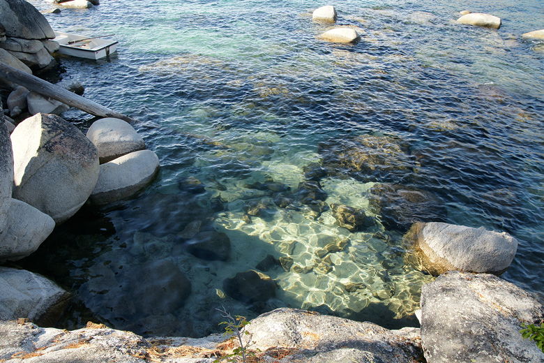
Clear waters of Lake Tahoe
After about an hour at the beach, we finally packed up and started heading back up. We were probably one of the last people to leave the beach on foot that day, though there were still a couple boats in the harbor. We retraced our steps, following the same route back to the parking area.
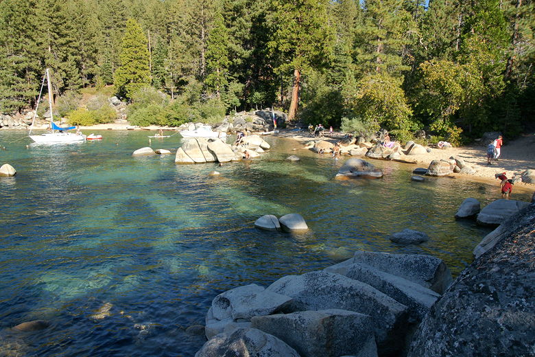
Skunk Harbor
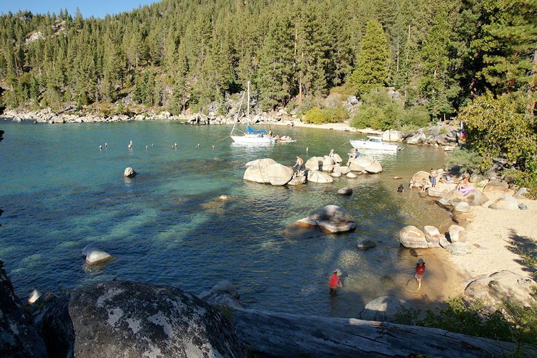
Skunk Harbor
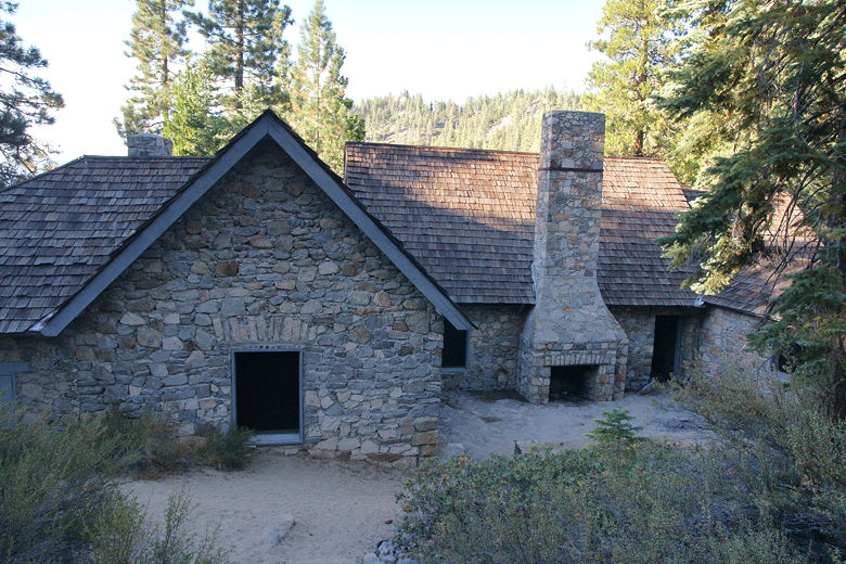
Newhall House
| 


