|
When we drove along North Lake Road, I noticed the aspens near the lake were past peak,
definitely further along than the last time we'd been here (on a hike to Grass Lake
2 years ago). Still, the lakes would be pretty so we kept going.
After arriving at the large parking lot (with plenty of space available) at 10:40am,
we prepped and then started walking down the gravel road toward the campground. The
campground was still open, but there's no day-use parking there, so we had to park
in the large lot and walk about a half mile to the actual trailhead, which is
at the far end of the small campground.
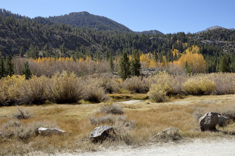
View of aspens from the parking lot
The gravel road is flat, with not much to see except a few stands of yellowing aspens off
to the left back in the direction of North Lake. North Lake itself isn't actually
visible from here, as it's hidden behind trees and terrain.
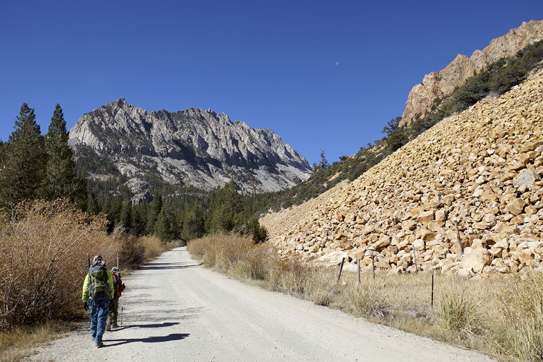
Heading up the road to the campground and trailhead
Once the road enters the campground, it starts climbing a bit. There were a few
people camping here. We walked through the campground to the trailhead, then turned
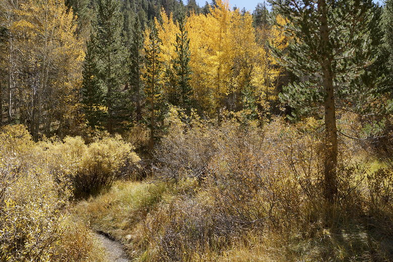
right onto the trail. There are a few aspens here to add some color. Very
shortly, we reached the Piute Pass/Lamarck Lake intersection. A woman backpacker
with three dogs was coming down the Piute Pass trail at this moment. We chatted
with her a bit, since I'm interested in doing the North Lake to South Lake "loop",
which is over 50 miles, and would involve taking that same Piute Pass trail. Maybe
next year.
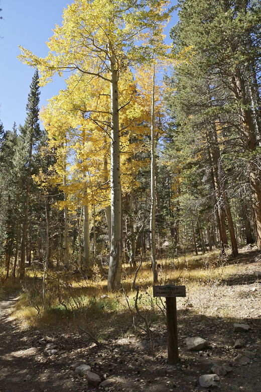
Into the aspen forest
Lamarck Lakes/Piute Pass intersection
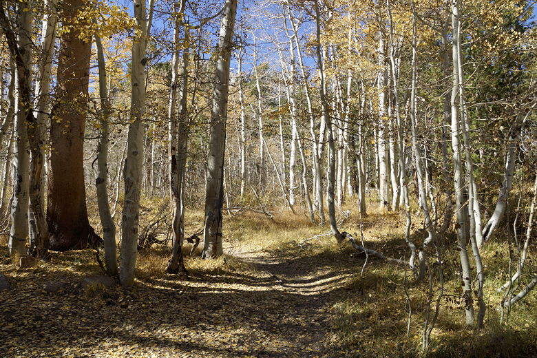
For now, we were just going to the Lamarck Lakes, so we turned left here and shortly
crossed a footbridge over a stream. All of this seemed familiar, since this was
all part of the trail to Grass Lake that we had taken before.
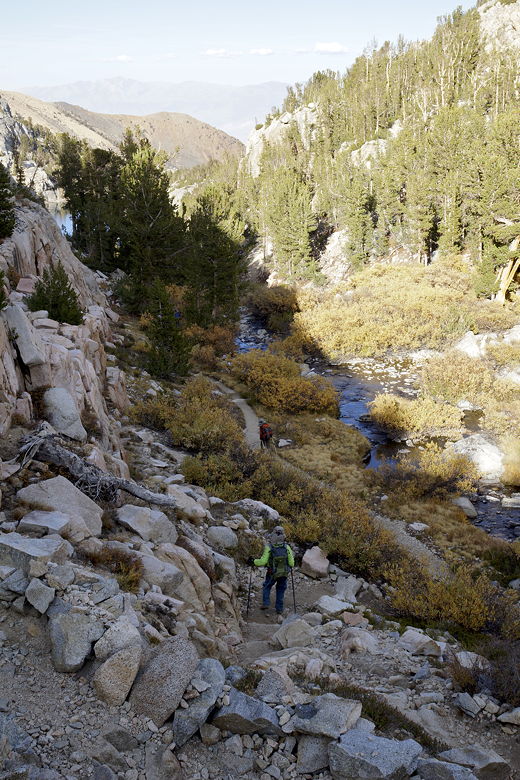
Trail into the forest
The trail now heads up some switchbacks through the forest. It was a bit cooler here
in the shade, but it would warm up later. We saw several other hikers along the trail,
and almost every one of them had a dog. They were all very friendly and accommodating
of the fact that our son was scared of dogs. It was just interesting that I think we
saw just one other hiker without a dog. We also saw evidence of horses, but no actual
horses on the trail; I think the horsepackers probably leave the area in September.
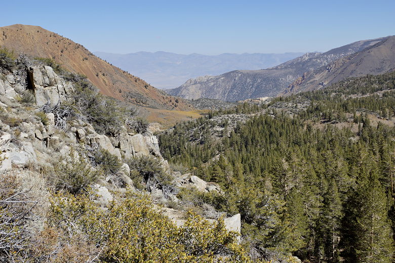
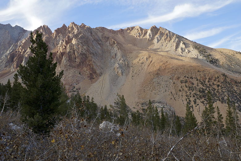
After switchingbacking through the forest, the trail breaks out into the open with
some views of Piute Crags. We continued along the trail, which is now mostly
straight and climbs at a gentler grade. About 1.2 miles from the parking lot, we
reached a plateau where we stopped for a snack break.
Less than a tenth of a mile later, after the trail started to climb again, is the
Grass Lake/Lamarck Lake intersection. We had gone to Grass Lake on the left before.
This time, we turned right to head to Lamarck Lakes. The trail now starts to climb
up switchbacks but out in the open with nice views of the surrounding area. To the
southeast we could see the meadow beyond Grass Lake, though Grass Lake was mostly
hidden from view behind some trees. To the northest, we could see the parking lot
where we'd started.
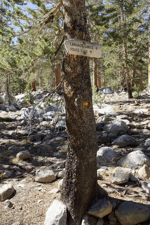
Grass Lake / Lamarck Lakes intersection
Looking back toward North Lake
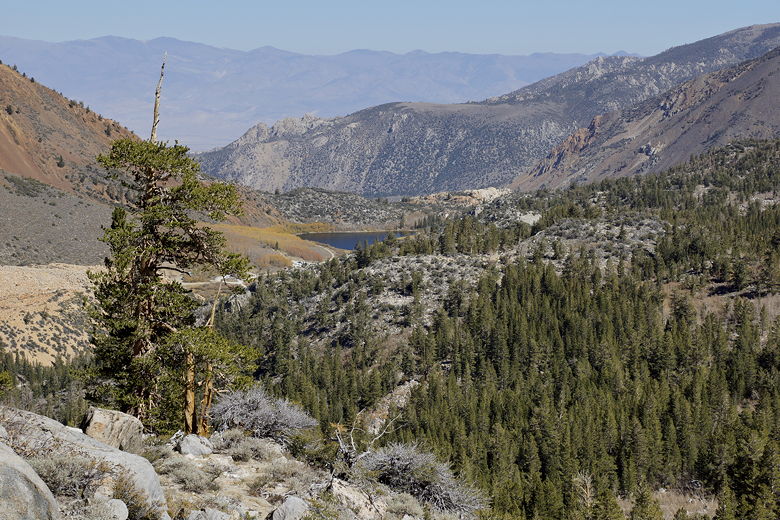
North Lake
Near the top of the switchbacks, we could finally see most of Grass Lake below.
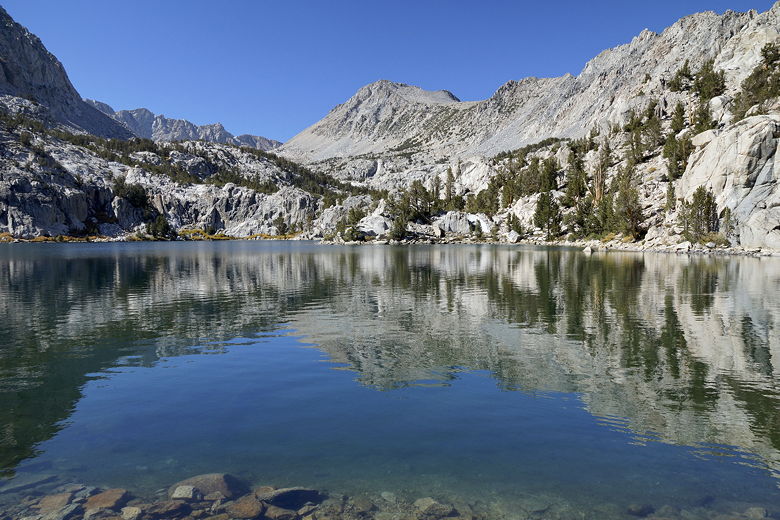
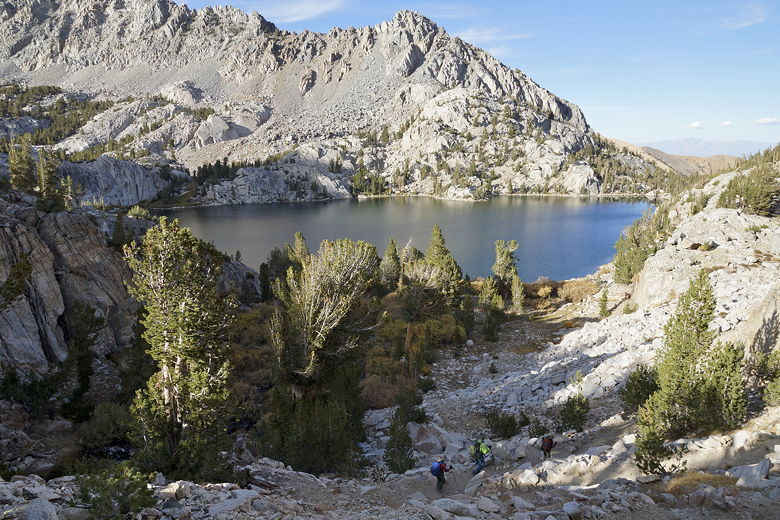
The trail continues to climb, but it wasn't long until we reached Lower Lamarck
Lake about 2 miles into the hike. We took the use trail to the right to the
lake shore. There was one other family at the lake near us, and another pair
of hikers would explore the opposite shore, but that was about it.
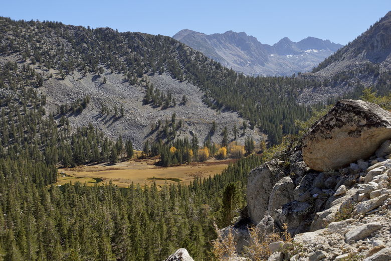
Grass Lake (in meadow behind tops of trees)
We found a nice perch on some rocks above the lake's eastern shore, where we
settled in for lunch and a long break (well over an hour). We saw evidence of
campsites in the area; it would make for a nice easy backpacking trip. There
were also lots of fish visible in the lake. I'm sure if you went fishing you'd
be able to catch something here.
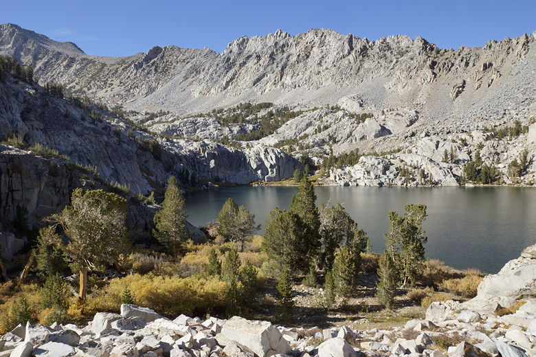
Lower Lamarck Lake
Lower Lamarck Lake
Lower Lamarck Lake shore
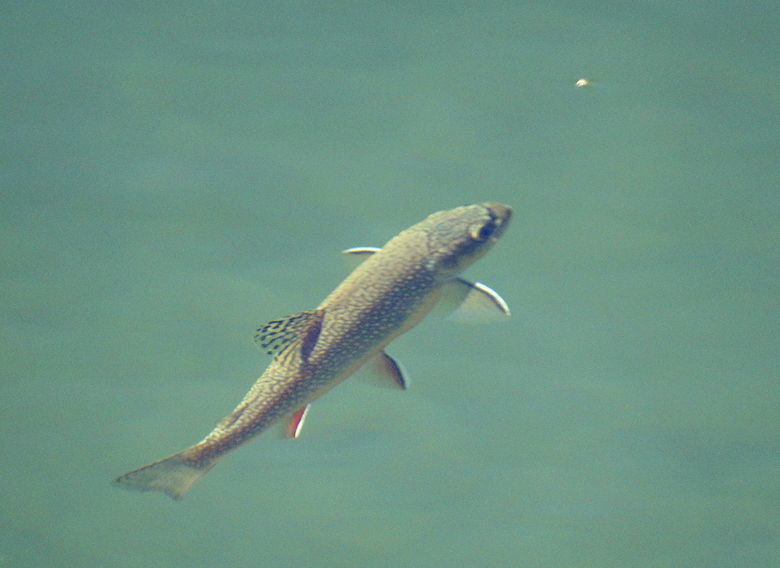
Fish in Lower Lamarck Lake
There's a mountain above the western shore of the lake that reminds me of the
Painted Lady above Rae Lakes. There were tiny bits of color visible on the
opposite shore.
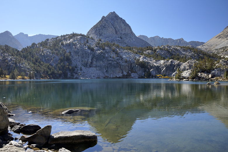
Lower Lamarck Lake
After lunch, we retraced our steps back to the main trail, then continued up it
on our way to Upper Lamarck Lake. It was a bit past 3pm now, but I figured we
should be able to reach it around 4pm, have a quick break, then head back down.
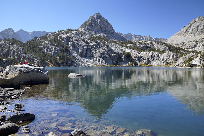
We easily rock-hopped crossed a stream, then followed the trail as it traversed
the mountain above the southeastern shore of Lower Lamarck Lake. This part of the
trail provided some excellent views of the lake, including some nice colors below.
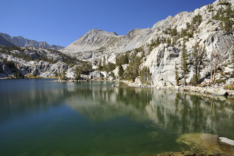
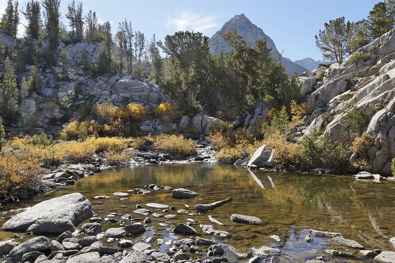
The trail then parallels an inlet stream, then crosses it (easily rock-hopped)
before continuing to parallel the inlet stream on the other side.
Outlet stream
Western end of Lower Lamarck Lake
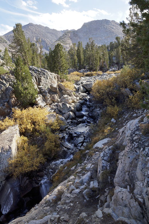
Lower Lamarck Lake inlet stream
We'd been climbing steadily, but then the trail leveled off and we reached a
trail sign. All it said was "Trail" with an arrow pointing to the left. I felt
this was a somewhat dubious sign, as there was a well-beaten trail continuing
straight in front of us, while the "Trail" to the left was much less defined.
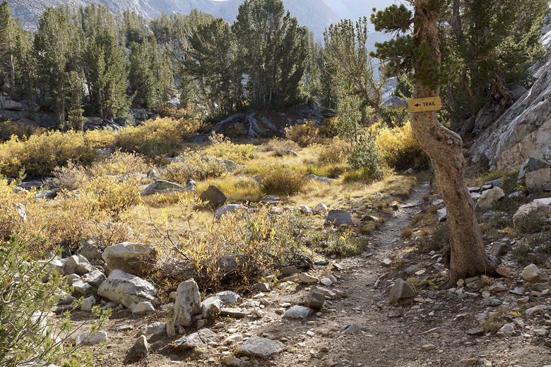
Dubious trail sign
I wasn't quite sure what to make of it, but eventually we decided to follow
the trail sign. I'll just come right out and tell you now that we never made it
to Upper Lamarck Lake. If we had ignored the trail sign, the use trail would have
taken us straight to the lake, although I have read that this route to the lake
may be more harder because of lots of rocks further up.
Instead, we dutifully followed the trail sign. This would have led us to a spot further
up the southeastern shore of Upper Lamarck Lake. Except that we didn't stick to the
trail we wanted to. The problem is that, after the trail crosses the stream again
(easily rock-hopped), there are campsites. And there are use trails emanating from those
campsites. It's pretty hard to distinguish where the actual trail goes. If you want
to access the lake this way, my advice is to make sure to stay on the right side of the
campsites.
I think what happened to us is that we went through a couple of campsites and picked
up a trail on the other side. This trail paralleled the actual trail, but veered off
to the left. The terrain was such that it was pretty much impossible for us to get
back onto the actual trail once we'd made this wrong turn. We were also mislead
because we were clearly on a well-defined trail. It just happened to not go
where we wanted it to go. It kept climbing and climbing, eventually heading up some
steep switchbacks into the granite. Eventually I decided this wasn't getting us
anywhere close to the lake, and it was already 4pm, so we decided to turn around.
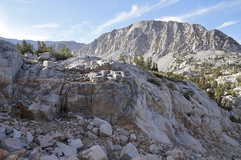
Turnaround point; Upper Lamarck Lake would be ahead to the left from this viewpoint
Looking back from the turnaround point
We started a rapid descent, back to the trail sign, then back to Lower Lamarck Lake.
I was a bit disappointed not to see Upper Lamarck Lake, but not much. We had some
nice views along the trail above Lower Lamarck Lake, and the lower lake was a great
place for a lunch break.
Heading back down along the Lower Lamarck Lake inlet stream
Descending past Lower Lamarck Lake
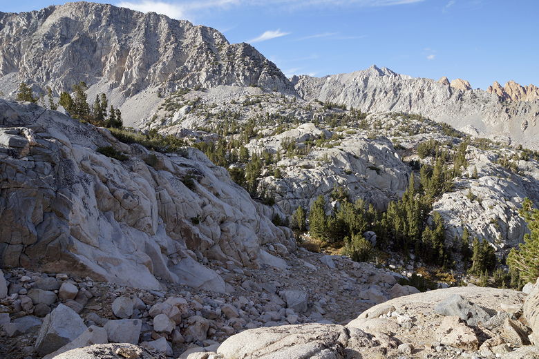
Piute Crags
We didn't see anyone else on the way back until we saw some campers at the campground.
We made it back to the almost empty parking lot at 5:45pm. As we drove out past
North Lake, we could still see people fishing.
| 

