|
When we entered the Bolsillo Campground, the sign said "No parking" and "Corbett Lake
trailhead 1/4 mile". It wasn't clear exactly where we should park, so I just parked
in one of the campsite parking areas. It didn't look like anyone had used the site
in months, and I doubted anyone would be using it today (the campground was completely
devoid of any people). If you were to do this on a weekend in July or August, you might
have a different experience, though. A cold Monday in June, though, not a problem.
It was cold, and there were a few drizzles, but no real rain. There were some mosquitoes
in the campground as we prepped, but not too bad. We finally got started on the trail
around 12:30pm, walking up the dirt and rock road through the campground. It heads
uphill past some fenced areas and a small building. After about a quarter mile, we
reached the official trailhead. In retrospect, I suppose you could drive the road,
but it's a rough road (not something I'd drive on to save a quarter mile of hiking),
and there's not much room for parking, anyway.
Interestingly, the trailhead sign says "Corbet Trailhead" instead of "Corbett".
Everything I've seen on the web says "Corbett," though, so I think the sign just
has a typo. The trail continues past the sign, climbing past sequoias (or pine trees,
sometimes it's hard for me to tell) and wildflowers
(columbine, Indian paintbrush, and lupine to name a few). There were also snowplant
here and there. I'd never seen so much snowplant on a trip before, possibly because
we rarely visit the Sierra Nevada as early as June.
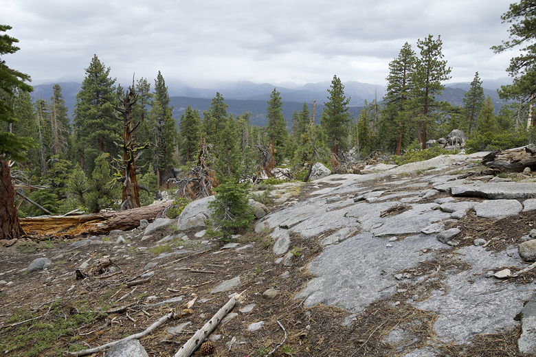
View looking north from the trail
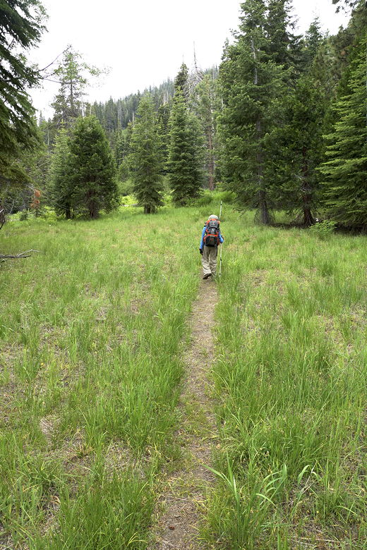
Continuing along the trail
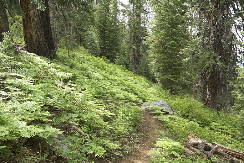
The trail becomes steeper, climbing up switchbacks through ferns. The trail veers
back toward Bolsillo Creek, but you can't really see it most of the time. You can
hear the water and see all the vegetation that surrounds it, though.
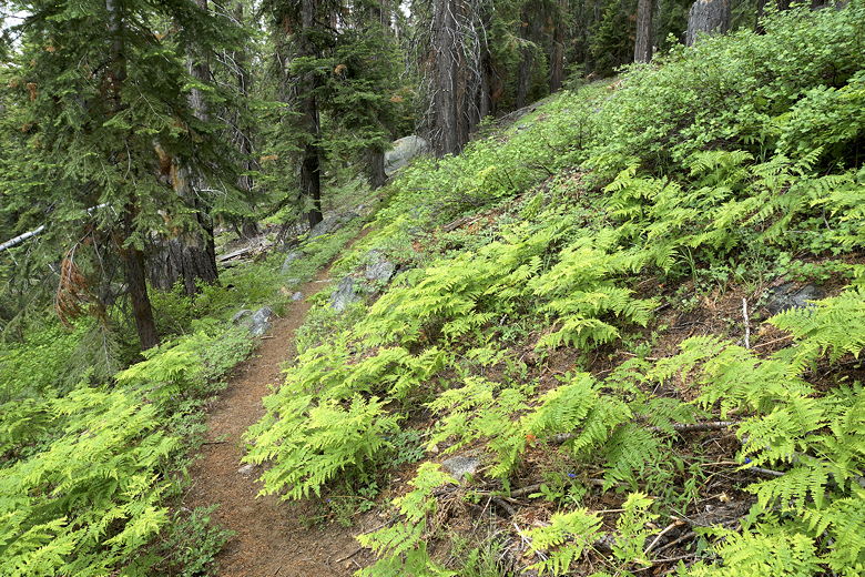
Ferns along the trail
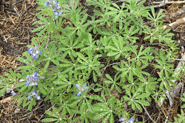
Dew drops
After passing a John Muir Wilderness sign, the trail flattens out considerably for a
while. We crossed a tiny stream, then continued climbing a bit more, reaching the
lake at 2:45pm. When we arrived at the lake, the wind was blowing across the lake
right at us, and a heavy mist/rain was falling. We ambled over to some rocks along
the southeastern shore, out of the path of most of the wind, and the mist started to
abate as well.
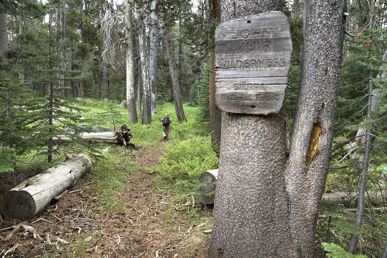
Entering the John Muir Wilderness
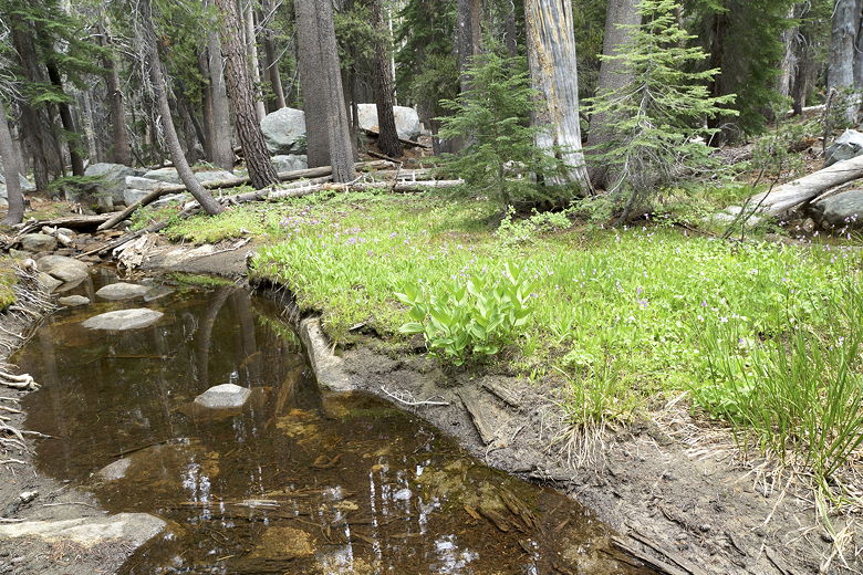
Small stream we had to cross
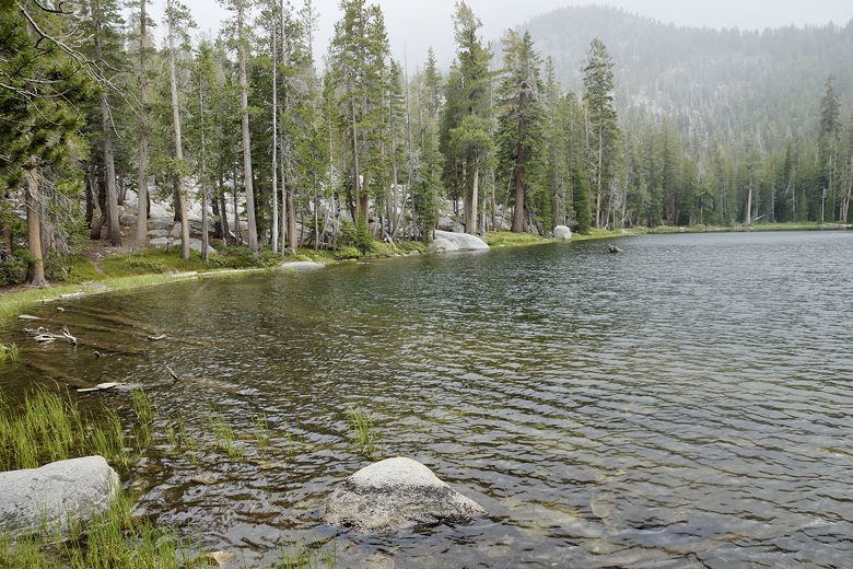
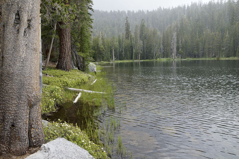
Misty Corbett Lake
The lake is pretty but not spectacular, lined with trees all around with several large
rock outcroppings scattered around making for nice picnic spots. After a lunch/snack
break, we left the lake around 3:15pm. The sun started to show a bit on the hike back
down. We arrived back at our car at 4:45pm, having not seen a single person on the
entire hike. I'm trying to remember, but I can't think of any other time I've done a
6+ mile hike without seeing anyone else.
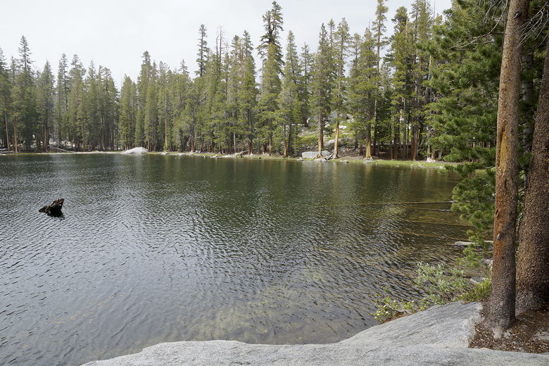
Corbett Lake
Corbett Lake
When we got back to the car, we were a bit surprised to see a truck parked in one of the other campsites,
but no one was there.
Ferns on the way down
|


