|
We had hiked around Manzanita Lake back in 2007. I'm usually averse
to doing the same hike twice, but this is an easy, beautiful hike,
especially when done in the hours just before sunset. To make it
a little different, we decided to do the hike in the opposite direction
this time - clockwise instead of counter-clockwise like we had done it
before.
While the trail is listed as being 1.6 miles, our GPS said 2.2 miles.
Either way, it's an easy walk with almost no elevation change. It was still
warm as we started off on the hike at 6:45pm. We walked to the left side of the
parking lot and started off on the trail, following the shoreline. There was a
group of people here, including a family that was also doing the walk; we'd
leapfrog them a few times. Other than that, there weren't many people on the trail,
though.
There were ducks on the water, lots of bugs circling over the water, and fishermen
both in boats and on the shore. We followed the shore and soon had a glimpse of
Lassen Peak behind us to the right. As we continued along the shore, the views
increased.
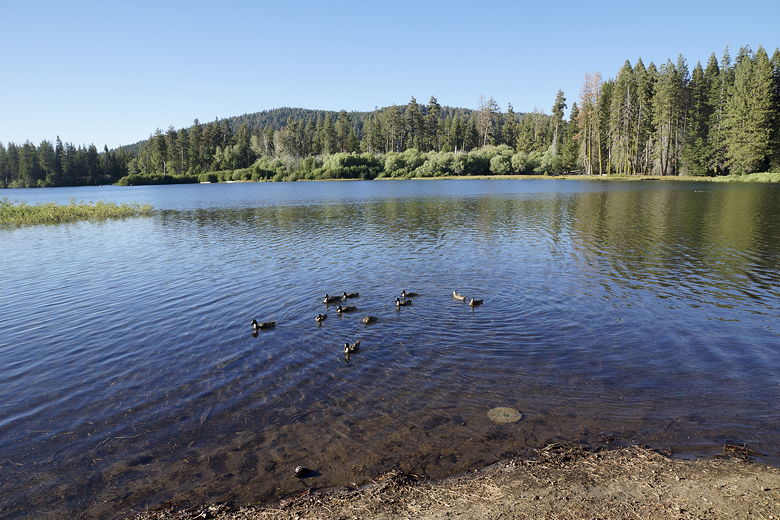
Ducks on Manzanita Lake
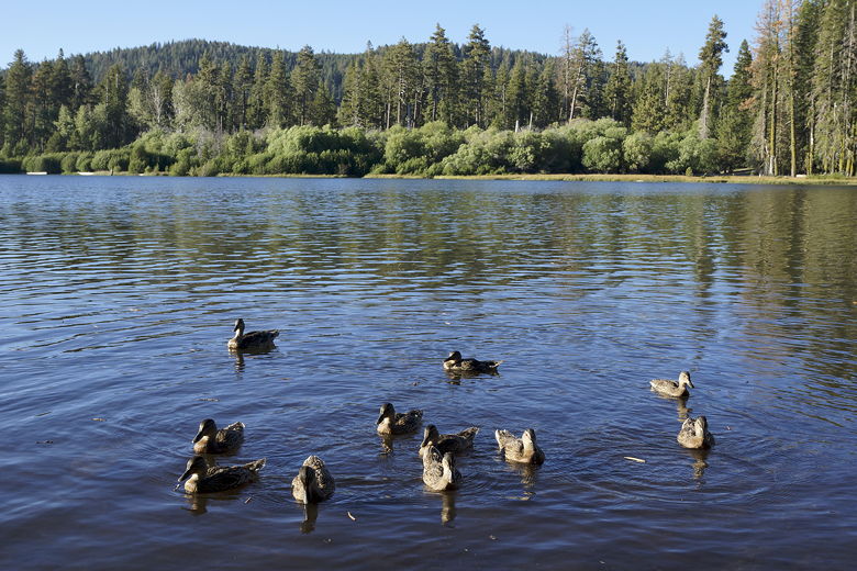
Ducks on Manzanita Lake
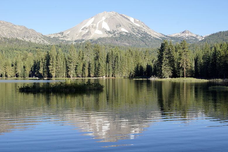
We reached the first of 2 earthen dams, and now had nice views of both Lassen Peak
and Chaos Crags reflected in Manzanita Lake. The views continued to get better
as we continued along the trail until it veered to the left. Here, we saw
evidence of a past forest fire, scarred trees still standing.
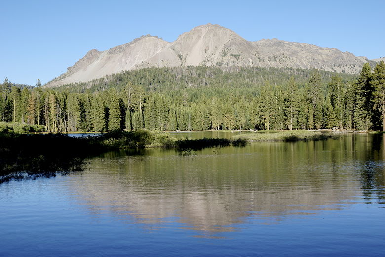
Chaos Crags over Manzanita Lake
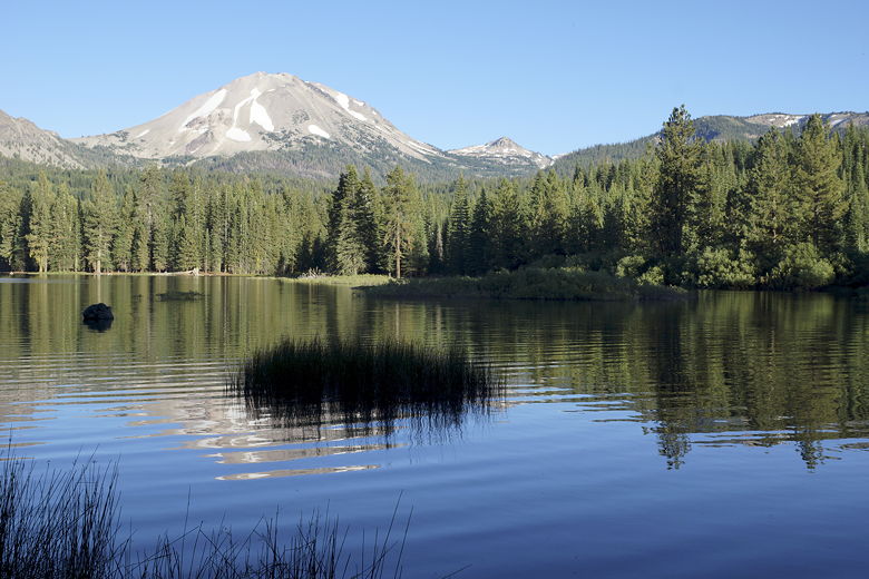
Lassen Peak from Manzanita Lake
Lassen Peak from Manzanita Lake
We crossed a footbridge over the outlet stream, then soon walked on the trail between
the lake and the park road. Eventually the trail veers slightly away from the lake.
We followed a use trail back to the lake, but were stopped when we could not find a way
to easily cross an inlet stream. We'd run into a similar problem when we'd done
the hike 6 years ago. We eventually did find a fallen tree slightly upstream and crossed
there. It would have been easier if we had just stayed on the main trail and walked across a
bridge closer to the Loomis Museum. Too bad I hadn't remembered that from 6 years ago.
Maybe I should have read my own web site in advance.
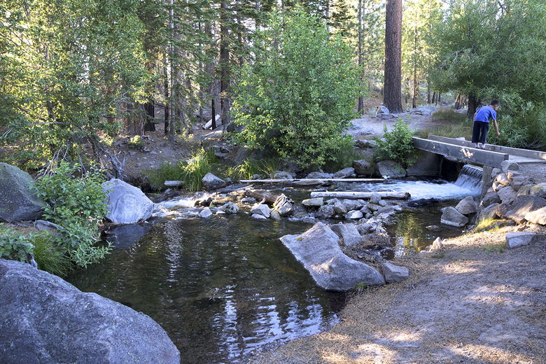
Manzanita Lake outlet stream
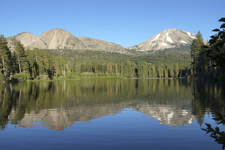
Chaos Crags and Lassen Peak over Manzanita Lake
| 

