|
There were several cars parked at the trailhead when we arrived. Most
of them were probably just going to Kings Creek Falls and back. After
prepping, we started off down the trail, which starts off with Kings
Creek on the right. Shortly, there's a nice meadow visible to the right
as the trail veers away from the creek.
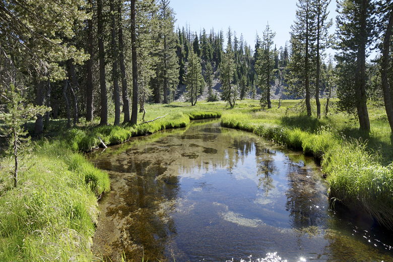
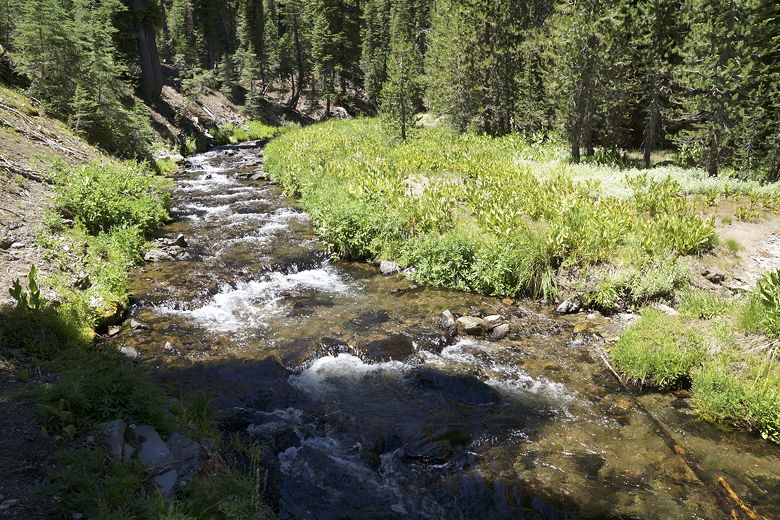
Meadow next to Kings Creek
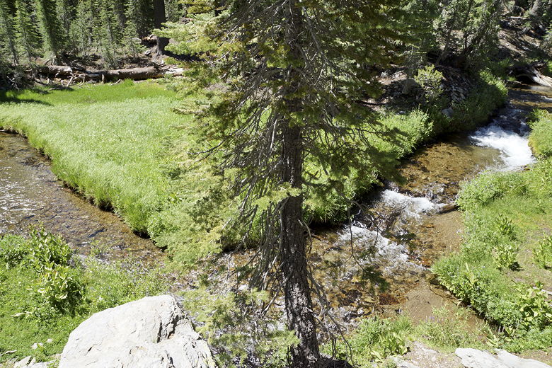
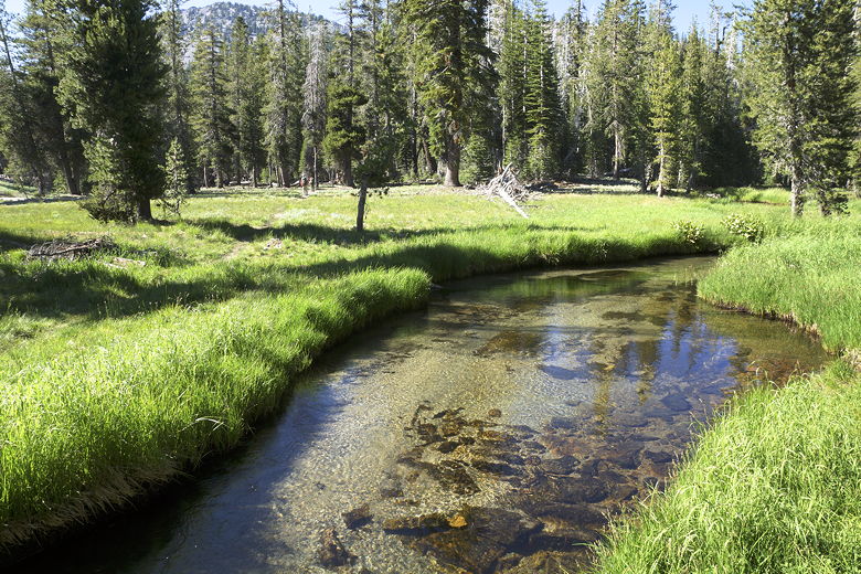
Kings Creek
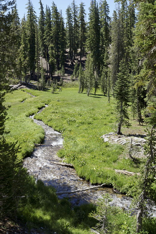
Kings Creek
After a half mile, there's a trail intersection. We would basically be
doing a lollipop loop (with some side trips), and would return on the
trail on the right. For now, though, we took the left fork toward the falls.
Further on, a sign said the old trail along the creek was closed due to
hazardous conditions; it was fenced off. Instead, we took the horse
trail to the left (a short spur trail straight ahead leads to a viewpoint).
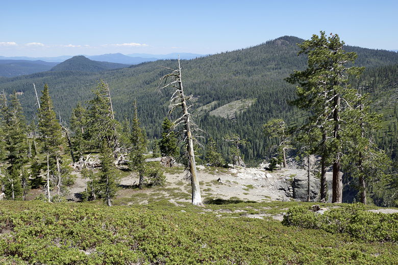
This trail leads to some nice views before descending steeply on a couple of
switchbacks.
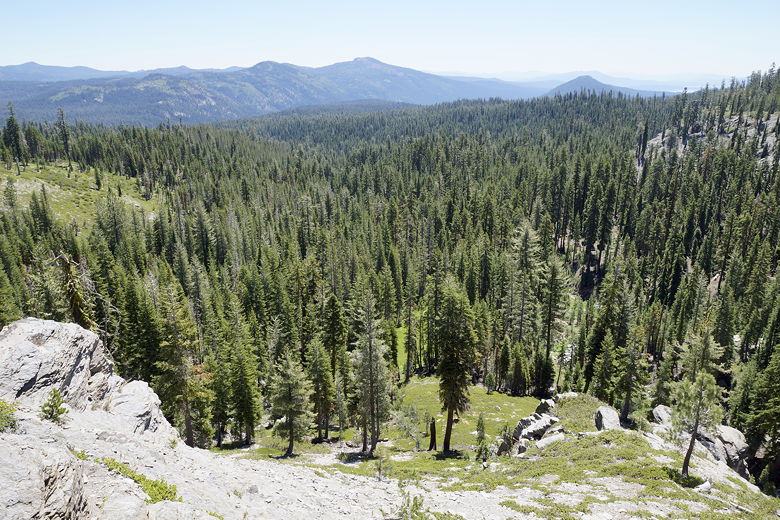
View from the trail
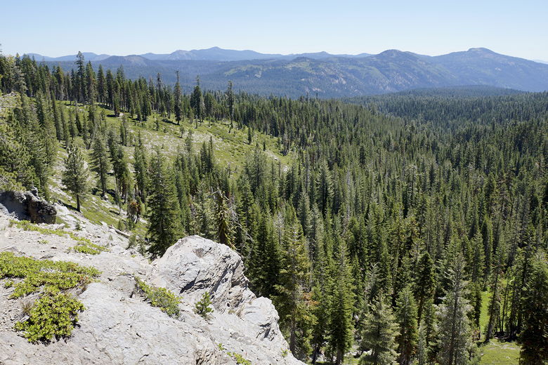
View from the trail
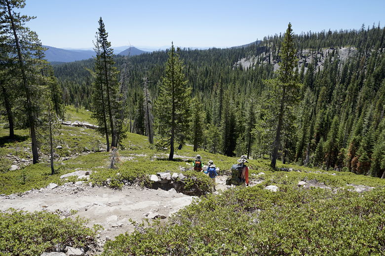
Descending the switchbacks
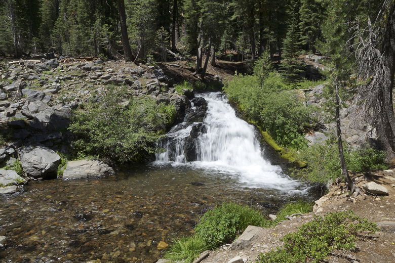
We soon reached the other end of the closed trail, near the creek. Here we
had a nice view of the creek tumbling down. From here, the trail levels off
for the most part (still going slightly downhill). At about 1.4 miles from
the trailhead, there's another trail intersection. The main trail continues
to the left, with a trail to the right leading toward Sifford Lakes. We'd
take that trail later, but for now, we continued left toward the falls.
Kings Creek at the intersection with the horse trail
Shortly, we reached an overlook of Kings Creek Falls. It's about 70 feet
tall, and the overlook is near the top of the falls. There are some steep use
trails that could probably be taken downhill to get a better view, but I'm not
sure how safe those are. We stuck to the overlook, then walked uphill a bit to
find a spot for lunch.
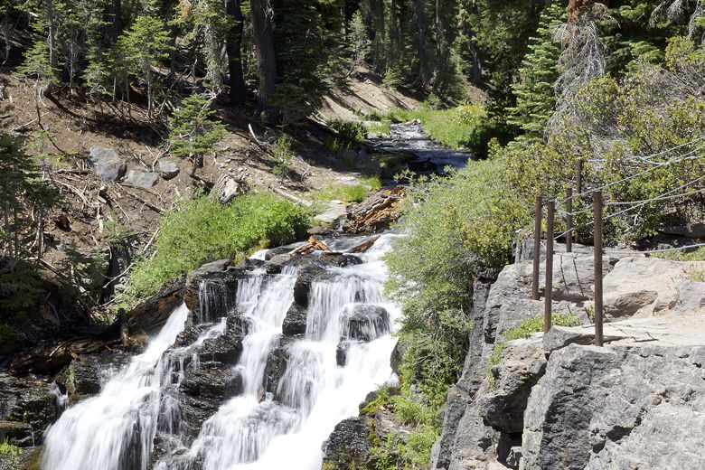
Kings Creek Falls
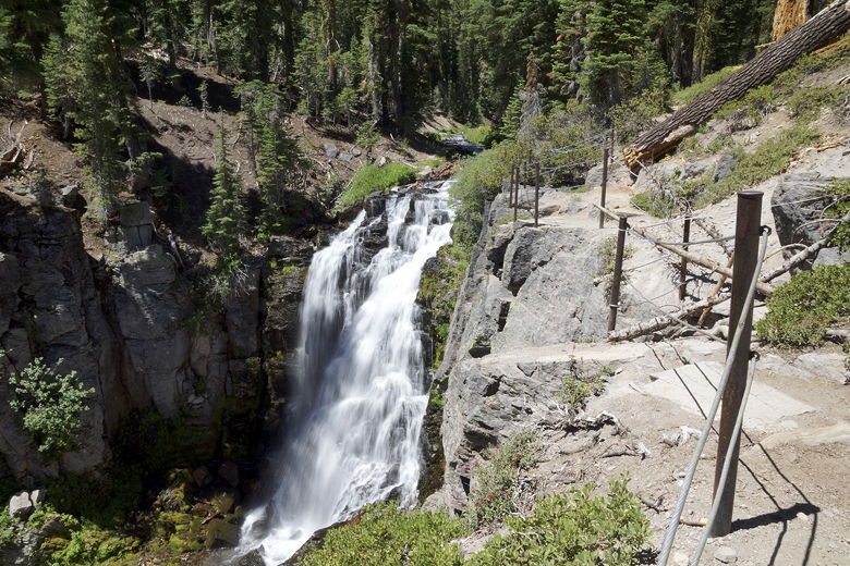
Kings Creek Falls
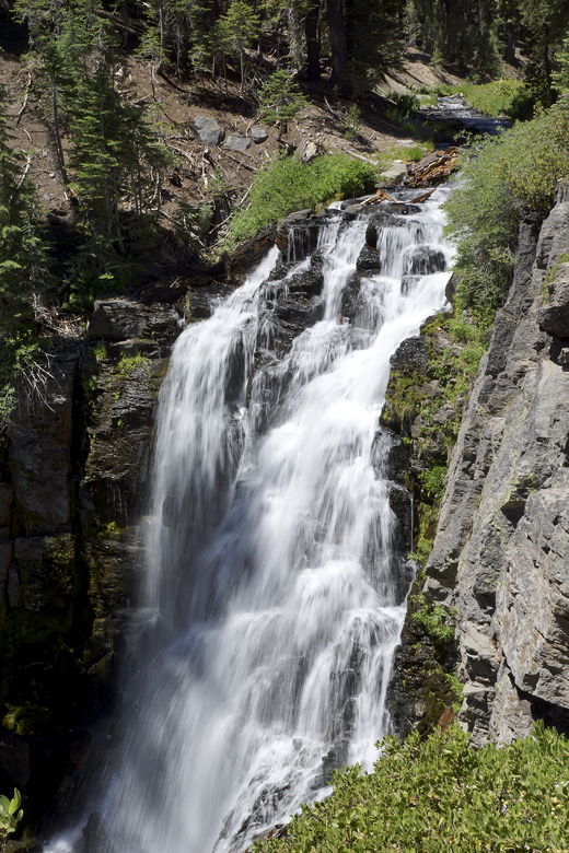
Kings Creek Falls
As we were there, lots of people came by to view the falls. We couldn't actually
even see the falls from our lunch spot, though we could hear the water rushing
down. It is not the most scenic place to sit down and have lunch. The overlook area is pretty
much for standing only.
After lunch, we doubled back to the Sifford Lakes intersection, then turned left,
leaving most of the other hikers behind. We soon crossed Kings Creek above the falls
over a collection of logs (the wooden plank/bridge itself was broken). Soon after that
we were walking near the base of a talus slope. The trail then goes up and down before
reaching tiny Bench Lake at about 2.5 miles from the trailhead.
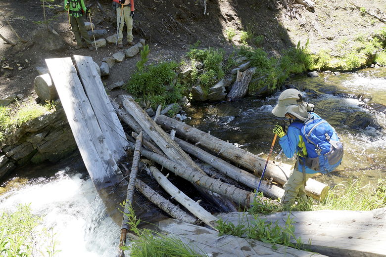
Crossing above Kings Creek Falls
Kings Creek above the falls
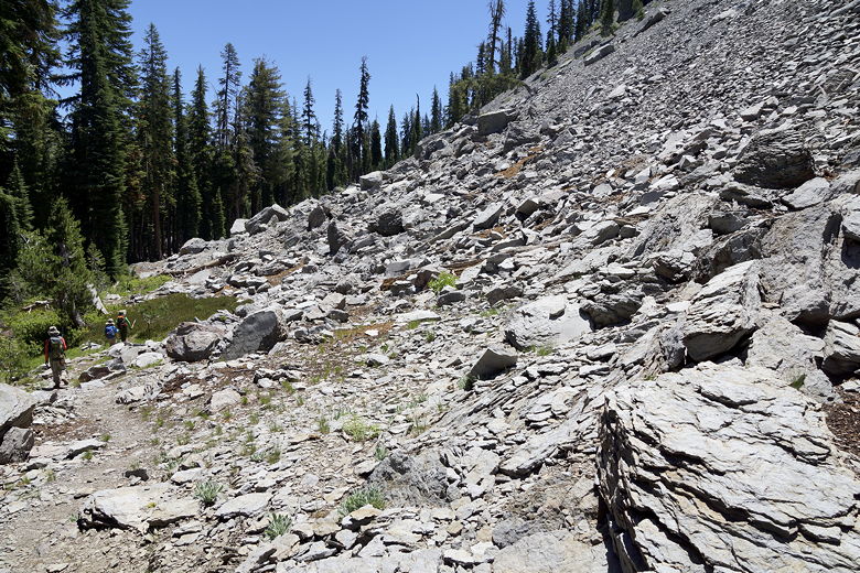
Talus slope on the way to Bench Lake
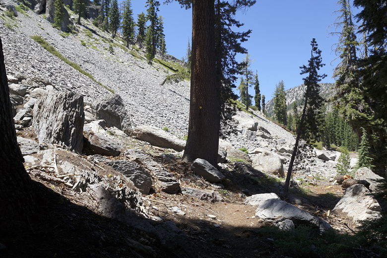
Looking back at the talus slope
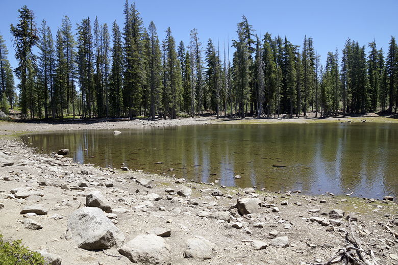
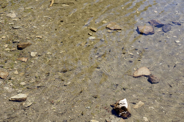
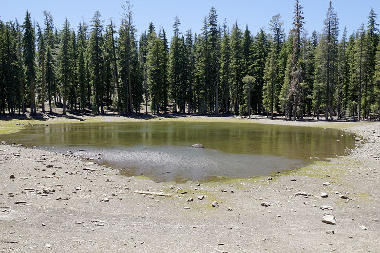
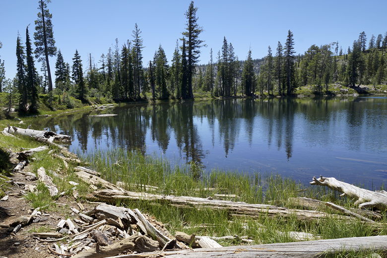
Bench Lake is more of a pond, and it dries up by later in the summer. There were 3 or
4 other hikers here, coming in the opposite direction -- the only other hikers we'd see
until we rejoined the Kings Creek Falls trail. We stopped at the lake for a few minutes,
witnessing hundreds of tadpoles in the water.
Bench Lake
Tadpoles in Bench Lake
Bench Lake
After a short break, we continued on the trail, which now descends steeply for about 0.4
miles. Then, we encountered another trail intersection, turning right to continue on
toward Sifford Lakes. The trail now climbs up steeply, back to the elevation of Bench
Lake, in about 0.3 miles to another trail intersection. The spur trail to Sifford
Lakes continues straight ahead, while the trail to the right leads back toward the
trailhead.
Trail beyond Bench Lake
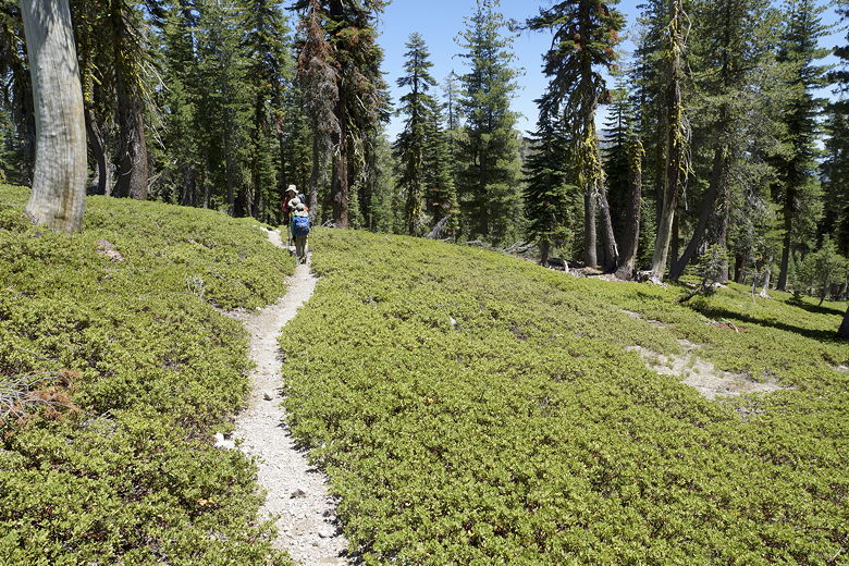
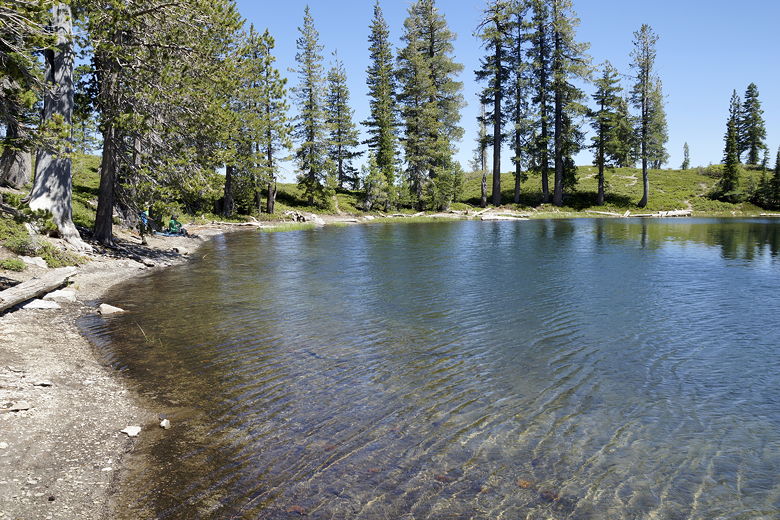
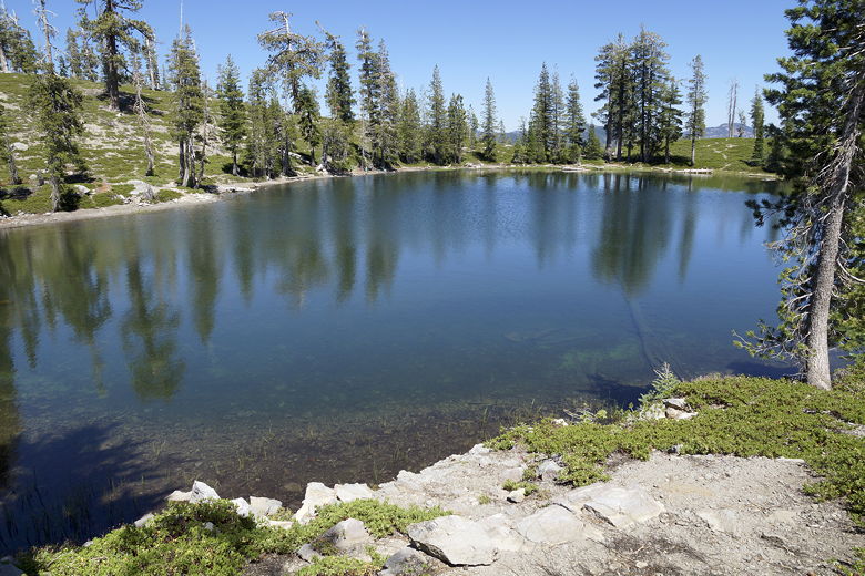
We took the spur trail straight ahead toward Sifford Lakes. The trail goes up and
down for about a half mile before reaching the first Sifford Lake, 3.7 miles from
the trailhead. It's not a dramatic setting. It's a small lake, with trees lining the
shore. But it was a pretty sight on a warm day. As an added bonus, the shore was
filled with perfect skipping rocks. We spent quite a bit of time here, skipping rocks,
walking right into the lake (it's shallow near the shore), and enjoying the lake all
to ourselves.
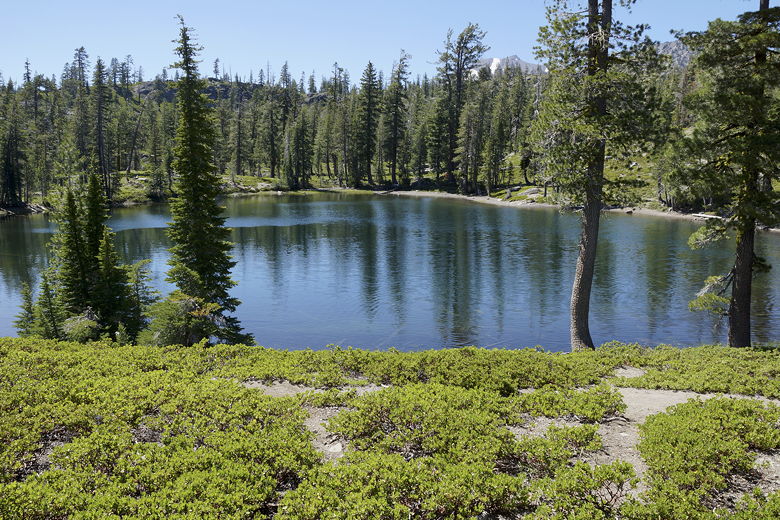
Sifford Lake
Sifford Lake
Sifford Lake
The hiking book I had with me mentioned a nice view from just off the trail, so after a break
at the lake, we followed the instructions, going back to where the trail meets the
lake, and heading south on a use trail past a campsite. We soon had a great view
looking over a steep cliff to the south. Then we retraced our steps and headed back
the way we came. If you have time to explore more, the trail does continue onto
the other Sifford Lakes (it looks like there are about 9 lakes in total, one of which
looks to be a little larger than the first). It is not much further, and the other lakes
are all very close together, but it does involve a bit of climbing, and
the first lake was enough for us.
View to the south of Sifford Lake
|