|
While we were still in our tent, I could hear the two backpackers near us
leave at the very early hour of 6:40am. Some people really get on the
trail early. Not us. We took our sweet time, eating breakfast as a baby
deer walked by our camp. We didn't end up leaving camp until 10:30am.
Just 5 or 10 minutes down the trail, we came to Big Pete Meadow.
There were several campsites under the trees here, but right next to the trail.
There may have been other sites along a spur trail, but I was glad we had
stopped when we had last night. We hadn't had any views from our site,
but it was neat seeing the deer and we had plenty of privacy.
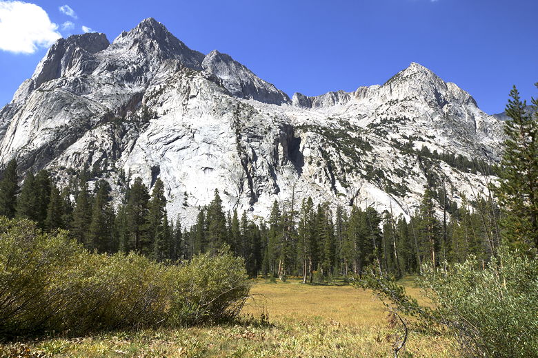
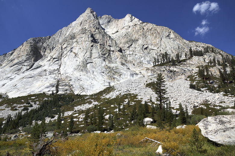
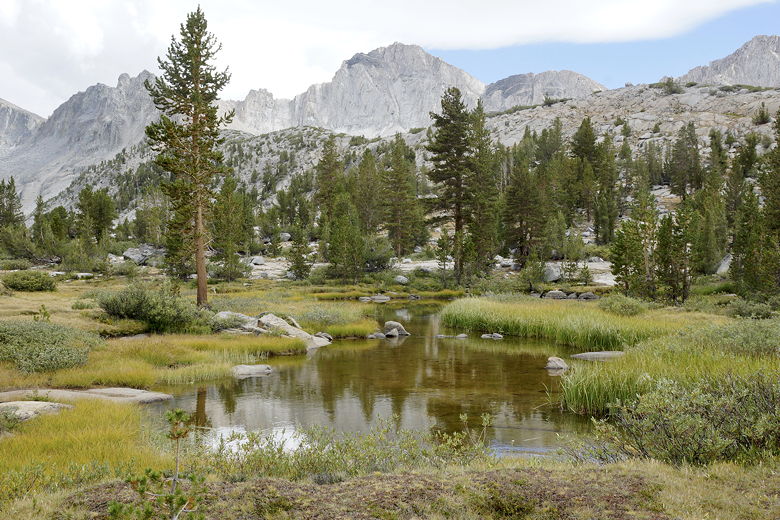
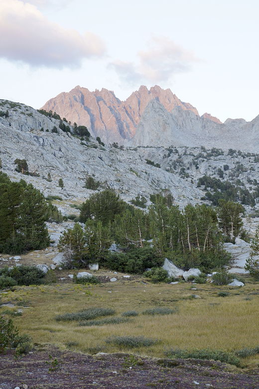
Langille Peak above Big Pete Meadow
Langille Peak above Big Pete Meadow
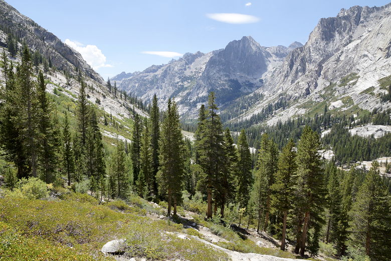
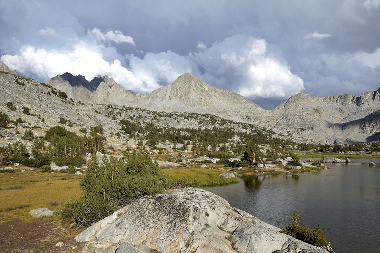
Big Pete Meadow is a small meadow, but as we followed the trail around to
the right, we had a nice view of Langille Peak looming above the meadow.
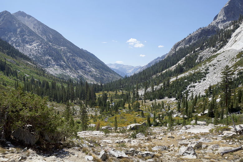
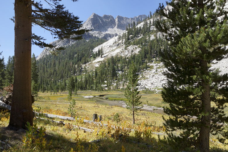
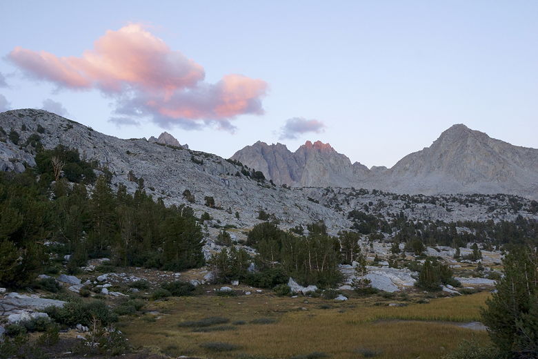
Then we started down some switchbacks with great views of LeConte Canyon,
Little Pete Meadow coming into view. The (perhaps intentionally) ironic
thing is that Little Pete Meadow is much bigger than Big Pete Meadow.
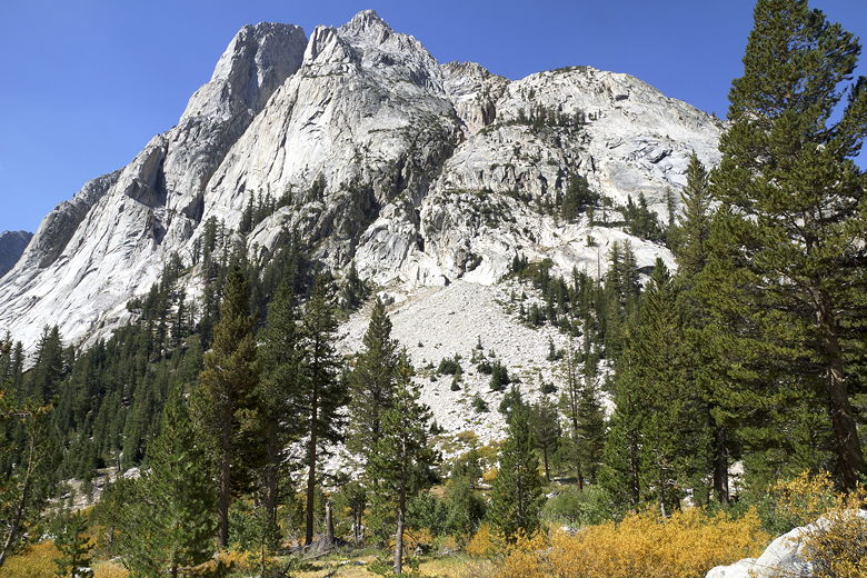
Looking down toward Little Pete Meadow in LeConte Canyon
Looking down toward Little Pete Meadow in LeConte Canyon
Langille Peak near Little Pete Meadow
We took a snack break at Little Pete Meadow, then got back on the trail.
Fifteen minutes later, we reached the Bishop Pass junction, about 450 feet
lower than our campsite the previous night. The
ranger station was visible to the right. Straight ahead, the JMT continued
south. To the left was our path -- up toward Bishop Pass.
Little Pete Meadow
After turning left onto the Bishop Pass trail, we almost immediately reached
a drift fence. After passing the fence, the trail continues to climb up
a set of steep switchbacks. A few minutes into the switchbacks, we met a
day hiker (!). He asked us where the ranger station was. He had started out
at 6am this morning (it was now a bit past noon), had hiked all the way over
Bishop Pass, and was going to leave a care package at the ranger station for
some friends of his who were doing the JMT (they'd pass by in a couple days).
Then, since he hadn't been able to secure an overnight permit, he was going
to hike all the way back to the trailhead at South Lake. All in all, a day hike of
of about 24 miles! That's some friend!
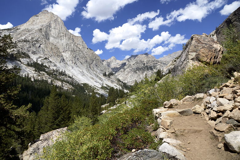
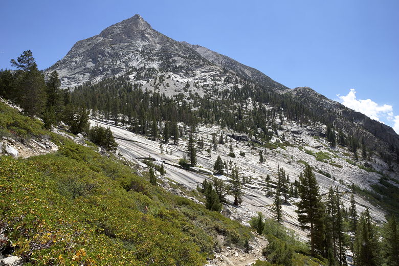
View from the Bishop Pass trail
After climbing for about 300 feet, we stopped in the shade with a great view
of a creek tumbling down the granite, like a giant water slide. After a short break there,
and another 300 feet of climbing on the switchbacks, we stopped for a snack break.
At this point, I discussed our camping options. We basically had two options. Option
one was to
stop at the lake at elevation 10,742 (after about 2000 feet of climbing on the day),
meaning we'd still have about 1200 feet of climbing to reach the pass the next day.
Option two was to go all the way to the lake at elevation roughly 11,400. That would
involve about 2700 feet of climbing today, but only about 500 feet the next day.
At this point, I thought the lower lake would be the better option. It would make
today easier, and tomorrow wouldn't be that bad. And I was also a bit worried that
the higher lake would be more exposed to wind. We didn't make a final decision at this
point, but that's where we were all leaning.
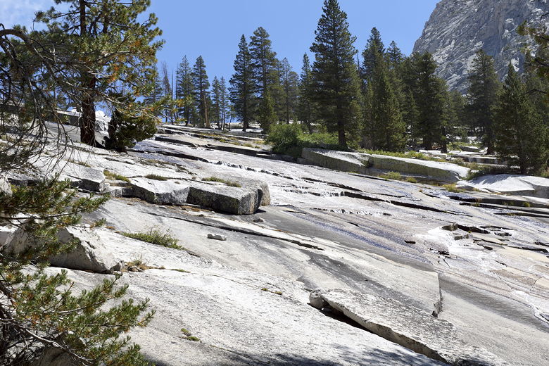
Water slide next to the Bishop Pass trail
Looking south from the trail
As we climbed some more, we had great views looking back the way we'd come, back
toward the mountains on the other side of the JMT. After another 300 feet of
climbing, the trail levels off ever so briefly before kicking up yet again.
We stopped sparingly. One short break was memorable, as we suddenly realized a deer
was sitting right next to the trail, partly hidden by tree leaves, not 15 feet from
us. It seemed unconcerned with our presence.
Larger view of the water slide
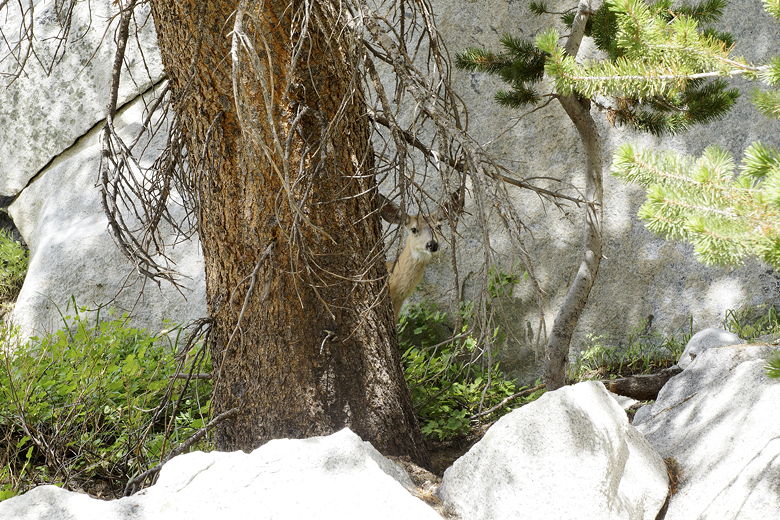
Deer next to the trail
We ran into a woman hiking down from the pass. I asked her about Dusy Basin, and
she suggested staying at the lower lake, which kind of clinched the decision for me.
Shortly after that, we ran into the woman who we'd seen on the first day of our hike -
the leader of her group - except now she was going solo. I noticed that there were
far more solo women backpackers than there were solo men. The men were mostly in
groups or pairs of hikers. Just an observation.
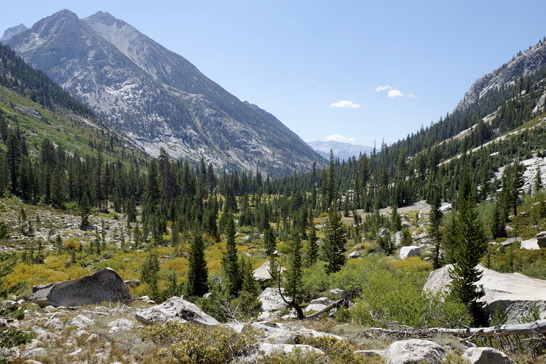
Looking back across LeConte Canyon
Another set of switchbacks brought us past a sign signifying no campfires above 10,000
feet. We passed flowers and waterfalls, then crossed over a wooden foot bridge.
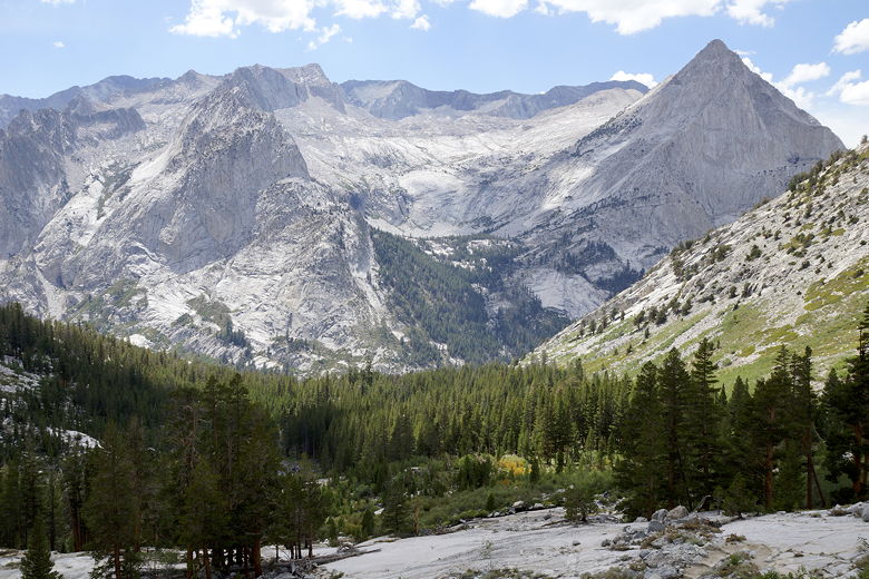
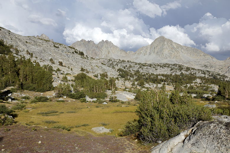
Finally, we reached the top of the switchbacks, after which the trail mostly
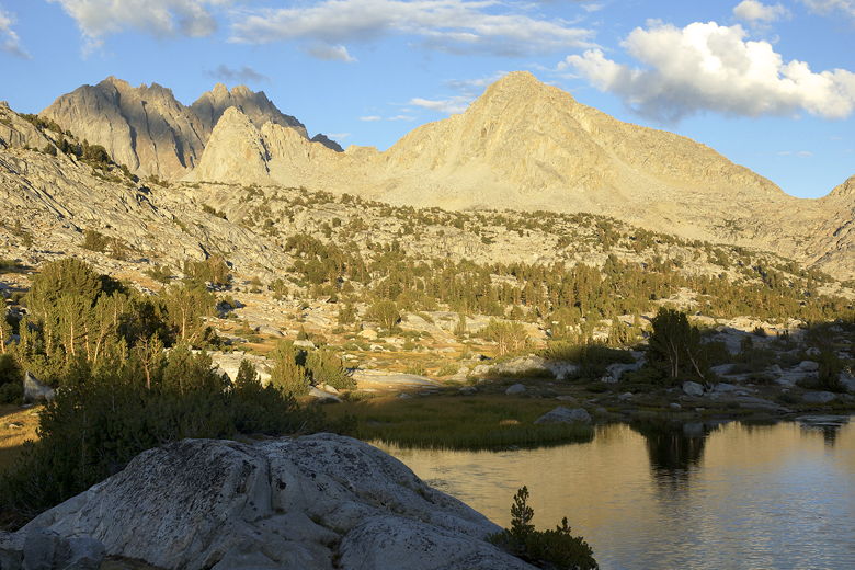
flattens out. We were now in the beautiful Dusy Basin.
Dusy Basin
We reached the lake at elevation 10,742 feet at about 4pm. There were people
fishing in the western end of the lake, and a few other people milling about.
We dropped our packs and went off in search of a suitable campsite. We couldn't
find many sites large enough for our tent. We eventually found a site between the
trail and the lake. It was a tight fit, putting our tent on the dirt between
two sections of granite, but we managed to do it.
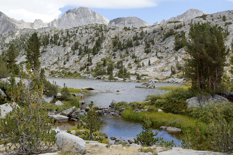
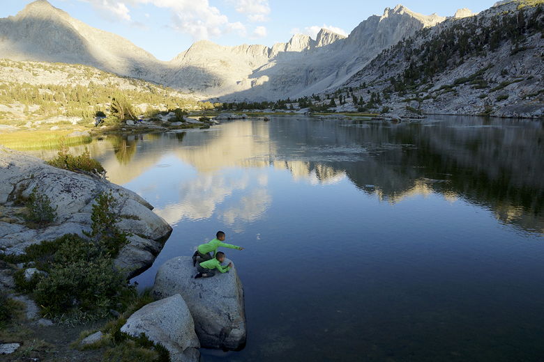
Lower Dusy Basin Lake (elevation 10,742)
While we were setting up our tent, the weather near Bishop Pass grew ominous.
Then we could hear thunder near the pass. It was still sunny where we were, and it
didn't look like the system was approaching us, but it still made us nervous.
We quickly got our camp in order. It wasn't until afterwards that I realized that
our tent was in the worst possible place in case of rain. It was basically like
being in a big granite sink; all the rain would funnel right toward our tent.
But we were already committed, and the skies were starting to clear, so I wasn't
going to worry about it. Next time we'll try to be more cautious about picking
a site.
Storm clouds near Bishop Pass
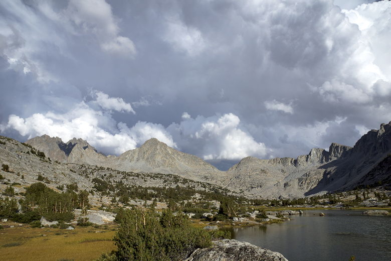
Storm clouds near Bishop Pass
Storm clouds near Bishop Pass
The storm system appeared to move to the northwest, away from us. By dinner it
was mostly clear. Near sunset, we got a treat when we could see fish literally
jumping out of the lake. And it looked like there were a lot of fish.
Because of the earlier stormy skies, I was expecting a nice sunset, but it was a
bit of a disappointment. Most of the clouds had dissipated by then.

Lower Dusy Basin lake
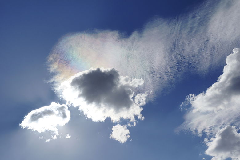
Rainbow in the clouds
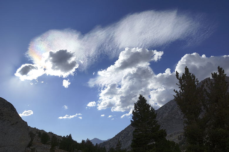
Rainbow in the clouds from Dusy Basin
Watching fish jump in the lake
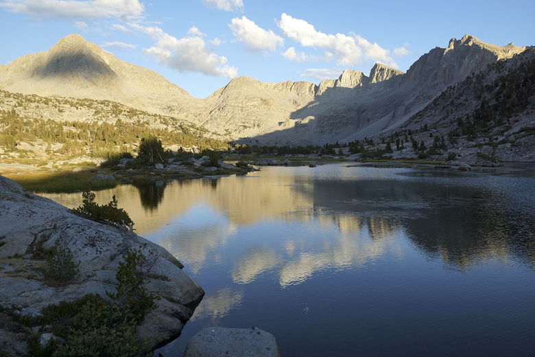
Mountain reflection in lower Dusy Basin lake
Mountains in Dusy Basin
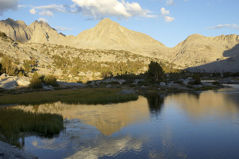
Mountain reflection in lower Dusy Basin lake
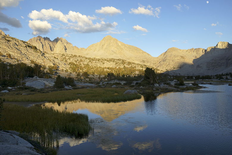
Mountain reflection in lower Dusy Basin lake
Dusy Basin sunset
Dusy Basin sunset
At night, I took advantage of the nearly full moon and took some night pictures.
The lake shimmered under the light of the moon.
The moon also lit up the mountains over the pass. After taking pictures
of the pass (or least that general direction), I turned to see the Big Dipper
clearly visible in the night sky. While I was taking pictures, I saw some very distant
lightning to the north, though I could not hear any thunder. The skies were completely
clear, and I had to think we'd be spared rain for tonight. Still, I wanted to get up
early to avoid the rain as much as possible, and get back to our car as soon as
possible (since we had a long drive back home).
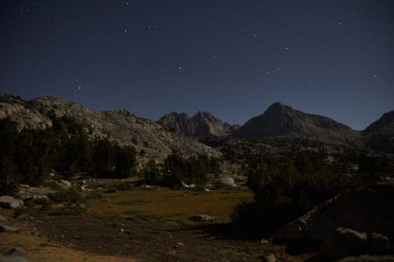
Moonlit Dusy Basin
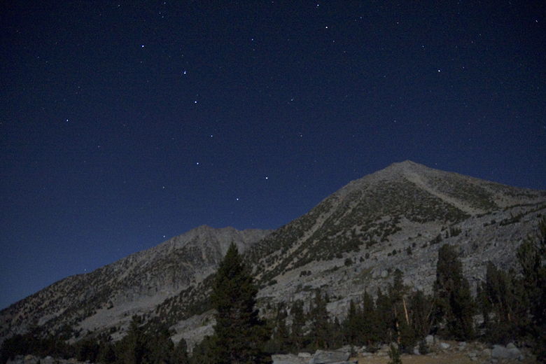
Big Dipper over moonlit Dusy Basin
| 

