|
When we arrived at the dirt parking lot around noon, the lot was about 1/3
full, and it was hot! We ate lunch at the trailhead, then started up
the trail. The trail starts climbing almost immediately, due south, with
little shade, steadily uphill.
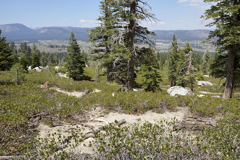
View looking back from the start of the climb
The trail goes into and out of some forested sections, gaining views of
the Mammoth area in the process. The trail passes through some
burned areas of forest.
After about 800 feet of climbing, it levels off (even going slightly
downhill at some points), and goes through some more burned areas.
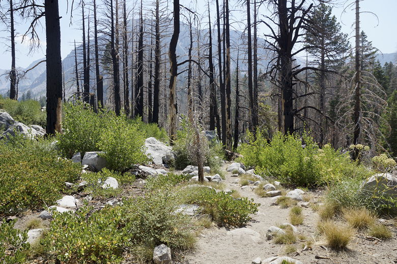
Through a small burned area of forest
A little over 2 miles from the trailhead, we came to the first Sherwin
Lake. We followed the trail along the northern shore of the lake,
then took a short spur trail to the shore. It was rather windy, but the
kids wanted to try their hand at fishing. They did so while I walked a
bit further to the second Sherwin Lake.
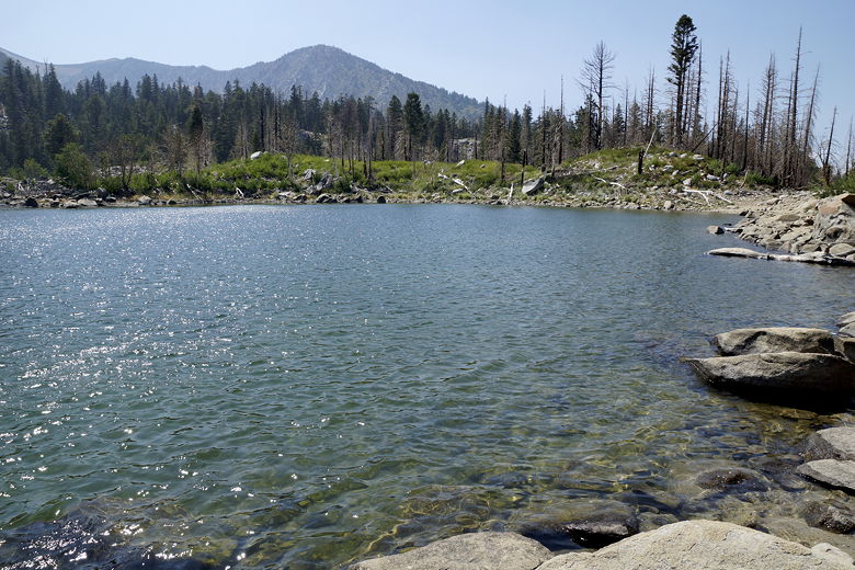
Sherwin Lake
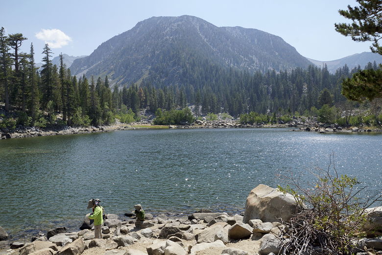
Sherwin Lake
I returned to the main trail, then continued south, looking for a spur
trail to reach the other lake. I eventually found it, following the
short trail to the other lake. I wouldn't have missed much by skipping it.
Although the map shows the second lake as being just as big as the first,
it was actually significantly smaller and not nearly as pretty. Not that
the first one is spectacular. I took a couple pictures and then turned
around.
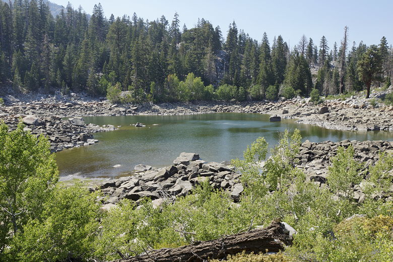
Smaller Sherwin Lake behind the first one
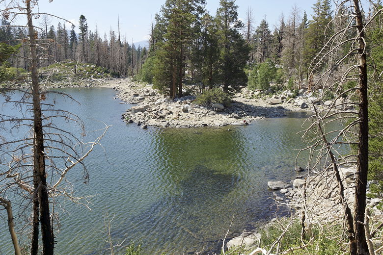
Sherwin Lake from the spur trail
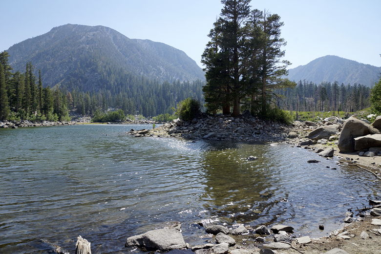
Sherwin Lake
The kids didn't catch anything (and it didn't look like the other family on
the other shore did, either). After a snack break, we packed up and left
the lake around 4:20pm, arriving back at the parking lot around 5:25pm.
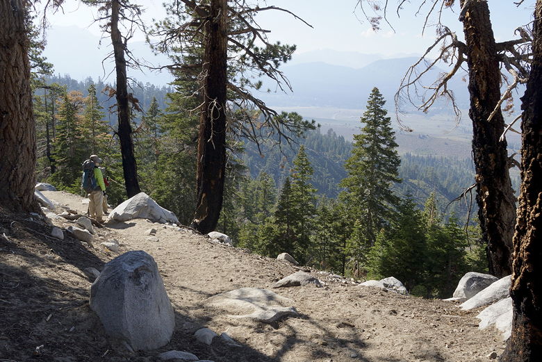
View starting the descent
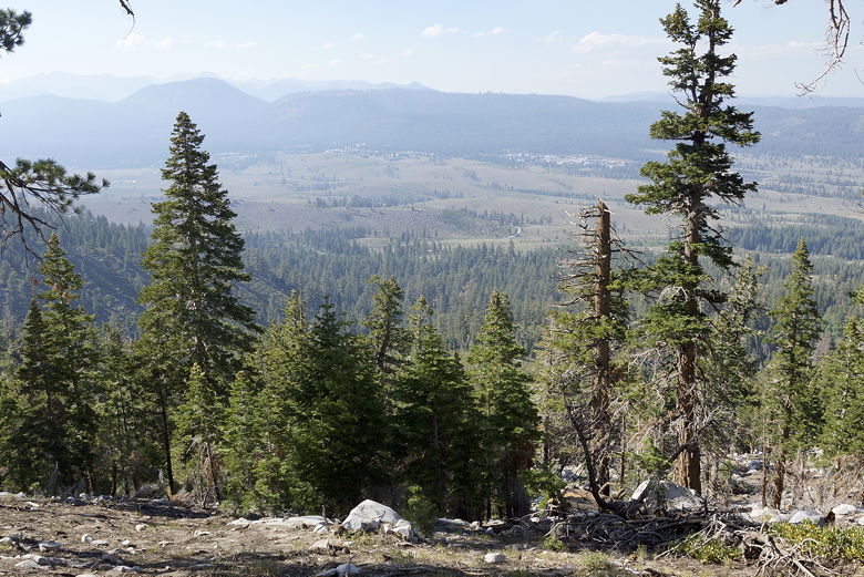
View looking north from the trail
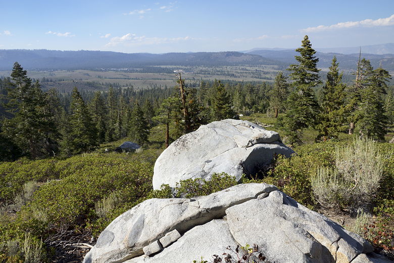
Another view from further down the trail
| 


