|
We visited the ranger station in the morning, paying the $5 for our
Adventure pass (required for parking) and getting our free wilderness permit
(required for the hike). Then we drove up to Humber Park. If you're
expecting a baseball field or picnic areas because of the name, don't
be surprised that you won't find any of that. Instead, you'll find a
big parking lot and trailheads. The big parking lot was relatively
empty when we arrived; perhaps in the summer it gets crowded.
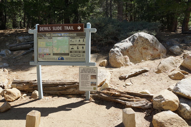
Trailhead
I had noticed the wind picking up in the morning, so I had immediately
checked the weather forecast. It called for rain developing late at
night, and even snow after midnight. For now, though, it was sunny
skies and just a bit cooler than yesterday.
Humber Park is about a thousand feet higher in elevation than the Deer
Springs trailhead (for Suicide Rock). We'd also be climbing to nearly
9000 feet elevation today. I was confident we'd get up and down before
the storm came, though.
The trail starts climbing immediately, but is more gradual than the climb
to Suicide Rock. Perhaps it was the cooler weather or the easier grade
(or a combination of the two), but this hike
seemed easier than the Suicide Rock hike, even though this hike is slightly
longer with more climbing.
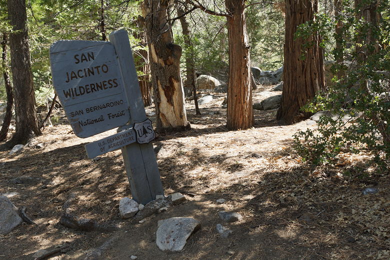
Entering the San Jacinto Wilderness
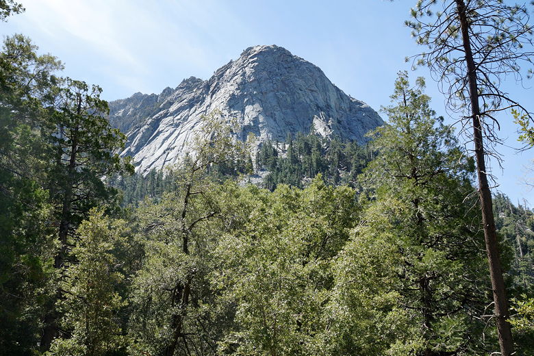
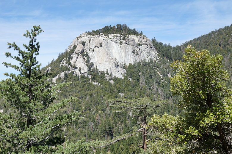
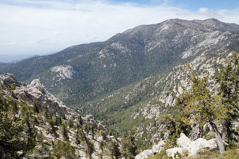
Tahquitz Peak
Tahquitz Peak
We climbed up the gentle switchbacks, passing ant colonies and lizards.
The wind increased as we gained elevation, and so too did the views of
Suicide Rock to the northwest. Still, there were no clouds to speak of yet.
Suicide Rock
Suicide Rock
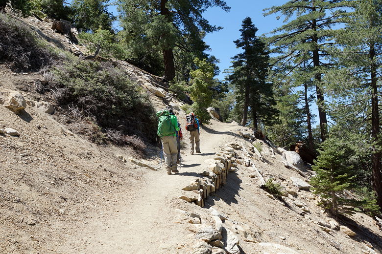
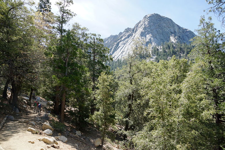
Heading up the trail
Above Suicide Rock
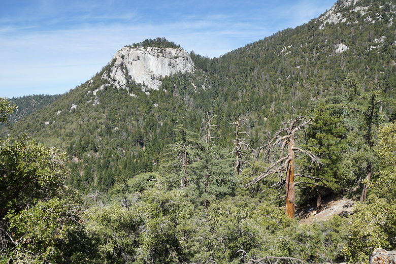
After 1.5 - 2.0 miles of climbing, the trail breaks out into the open and
into the wind. We had some nice views, but the wind really started to pick
up and blasted us as we emerged from the forest. Shortly, the trail veers
left and back into the forest, arriving at a major intersection about 2.5
miles from the trailhead (and about 1700 feet higher).
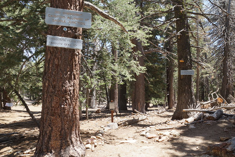
Junction
The intersection is a large forested area with trails headed in at least 4 or
5 different directions. We stopped here among some large rocks to have
lunch. Several groups of hikers passed in different directions while we ate.
I asked one couple if they had gone to the top of Tahquitz
Peak (they were coming from that direction). In fact, they hadn't. They
said that they had stopped near the next trail intersection and turned
around because of the wind.
After a half hour lunch, we turned right and headed toward Tahquitz Peak.
The grade here is noticeably easier than the earlier part of the hike. We
breezed through it and after about 45 minutes found ourselves near the next trail intersection.
At this point we were only a half mile and maybe 300 feet in elevation below
the top. It didn't seem very hard, but it was very windy. We decided that I
would go on to the top and back while the rest of my family waited here for me.
I figured it would take me a half hour to get there and back.
So off I went, hiking briskly up the trail. I passed some small patches of ice and snow,
but nothing really encroaching on the trail itself. I passed one hiker who was coming
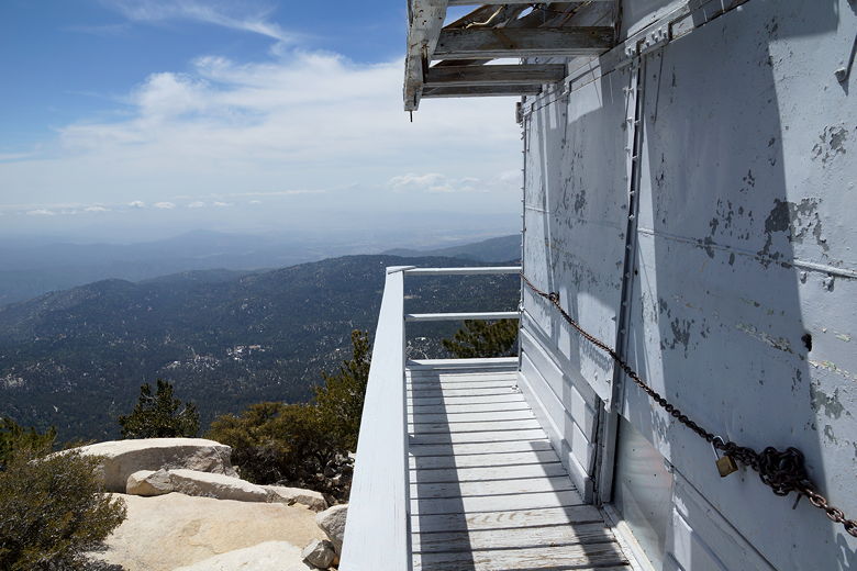
down from the peak. In 12 short minutes, I reached the top, where a fire lookout was
perched. I climbed the steps up to the lookout, which was shuttered. I walked around,
taking pictures in all directions as the wind slammed me.
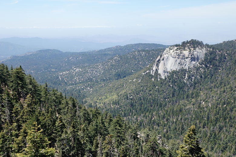
Looking back down
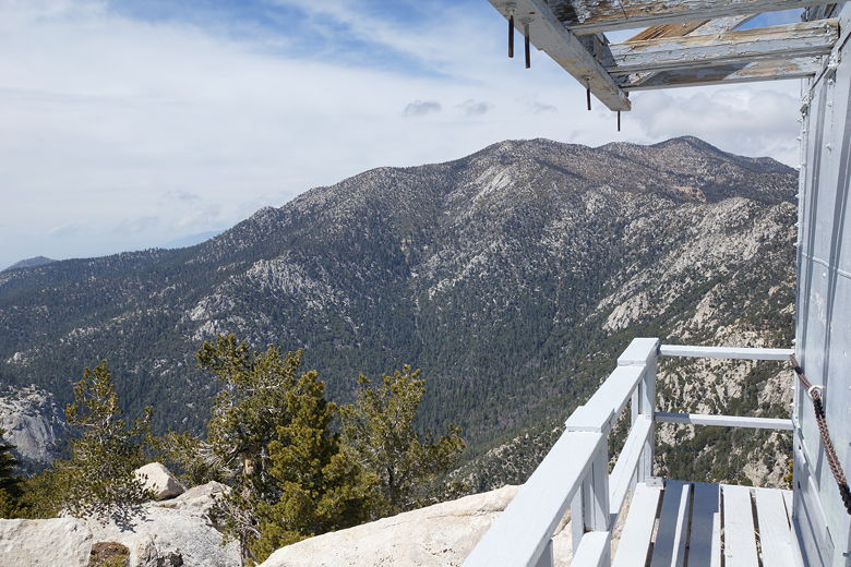
On the Tahquitz Peak fire lookout
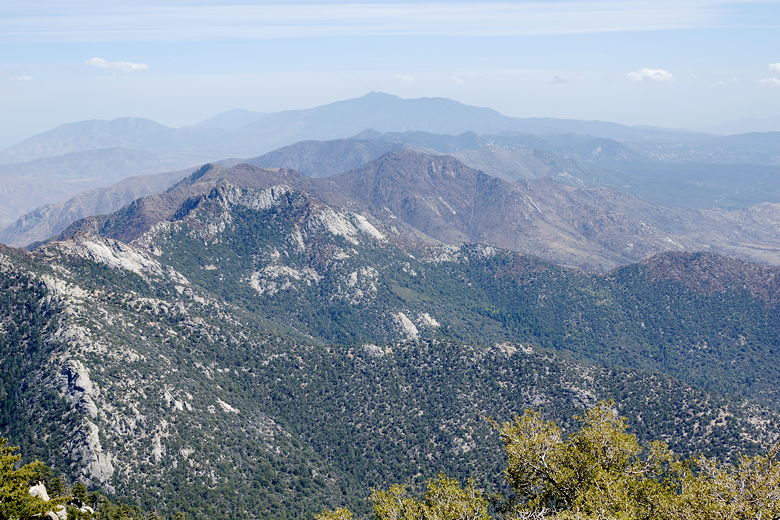
View from the top
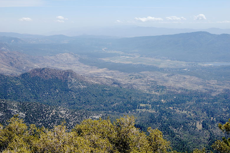
Looking back down at Idyllwild
Fire lookout
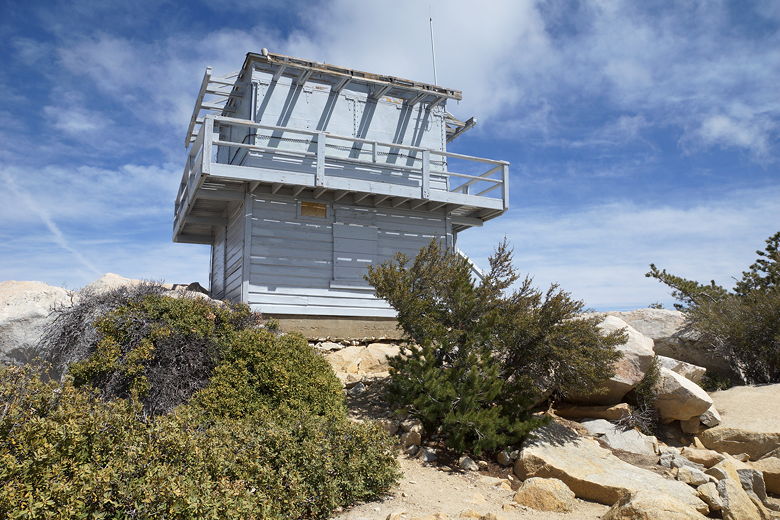
Fire lookout on Tahquitz Peak
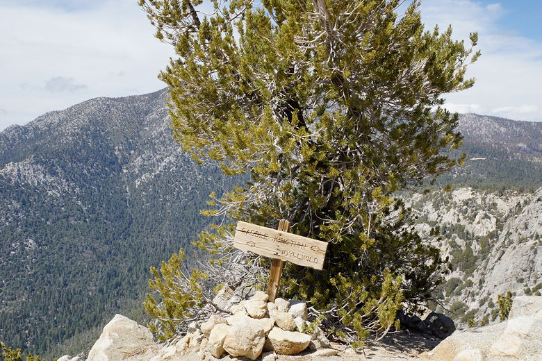
Trail intersection at the peak
I only stayed on top for about 5 minutes before heading back down. I retraced my steps
and found my way back to my family, having finished the up and back in about 29 minutes.
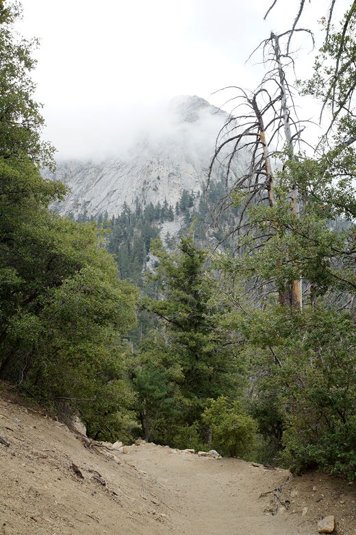
From there, we started the descent back to the parking area at 2:40pm. As we descended,
it was still windy, but not nearly as bad as at the top. The clouds also rolled in,
but it didn't threaten to rain yet. We still found people heading up as we were heading
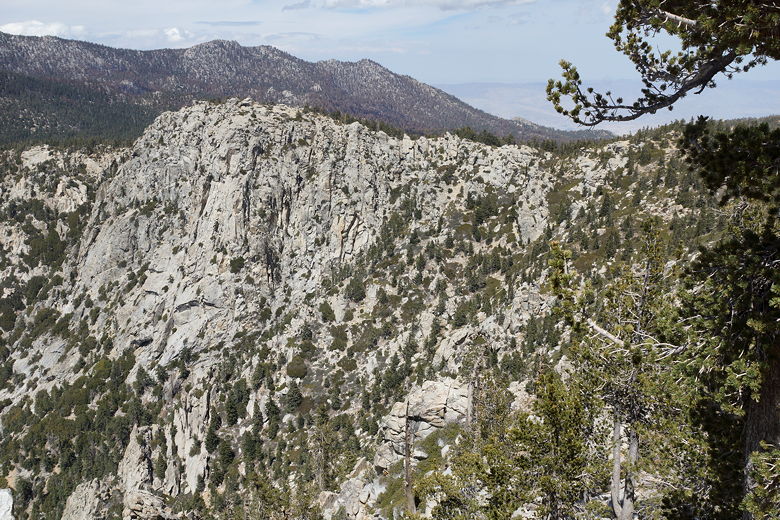
down at this late hour. Near the bottom we had nice views of Tahquitz Peak far above us
now, sometimes partially obscured by clouds. We reached the bottom at around 4:25pm.
By then it was completely cloudy, though it would not rain until around 10pm that
night. The hail would start two or three hours after that. Sure glad we weren't
camping on this trip!
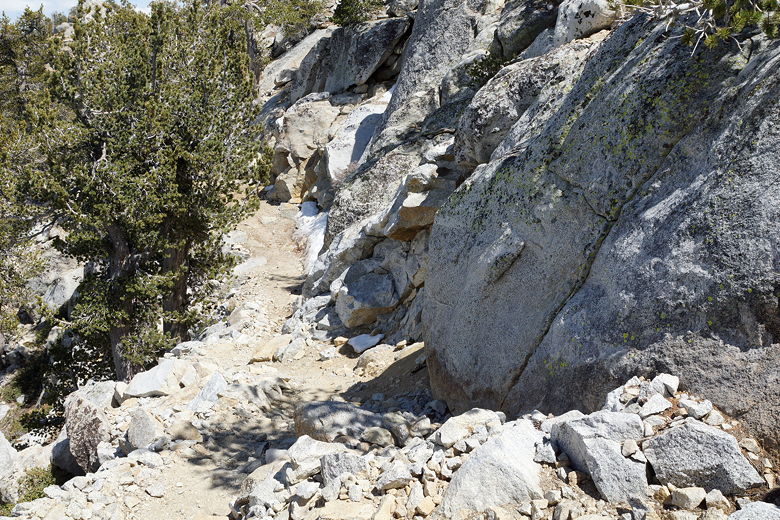
Heading back down the narrow trail
View from the peak trail
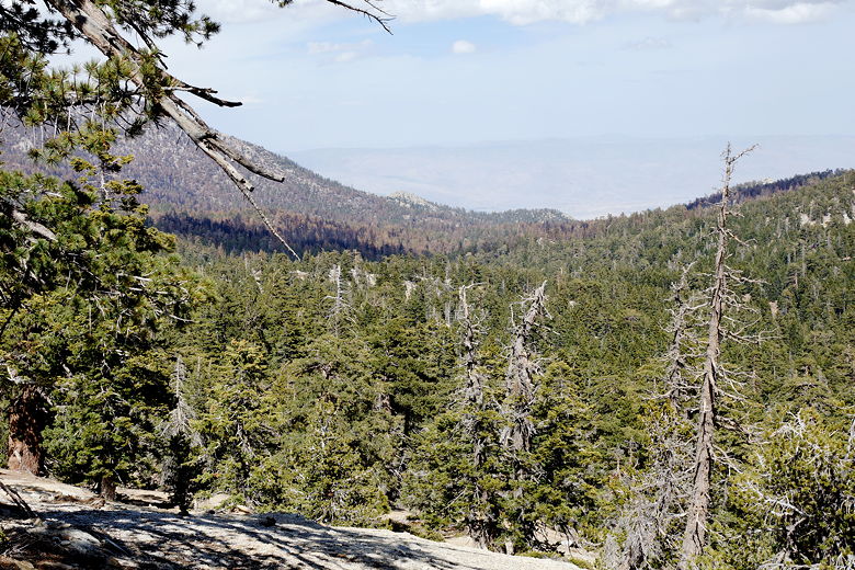
View heading back
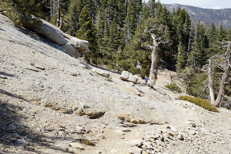
Heading down the trail
Cloud-covered Tahquitz Peak
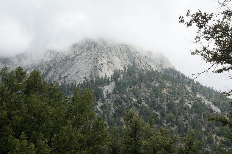
Cloud-covered Tahquitz Peak
| 

