|
The parking lot was noticeably less full than yesterday on this Tuesday morning.
We were the only car with a tarp on, though others had their hoods up to fend
off the radiator hose-eating marmots. The previous day, when I had tarped over
the entire front windshield, I'd gotten a courtesy notice from the ranger that
they couldn't see our park entry receipt. So this time I made sure to put the receipt at
the top of the windshield and make it visible. Something to keep in mind if
you're tarping.
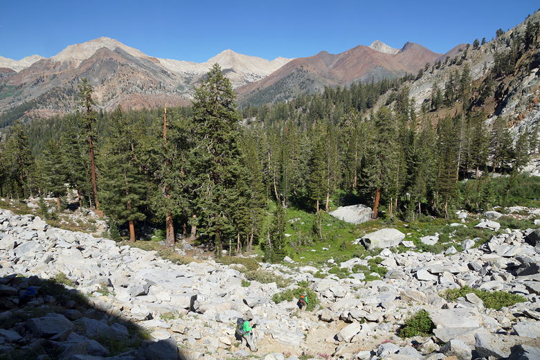
The first 1.3 miles of the trail for this hike is the same as the trail to
White Chief Canyon. Thankfully, it wasn't quite as hot today as it was yesterday.
We made our way up the trail, reached the junction and this time turned right
toward Eagle and Mosquito Lakes. The trail climbs steeply, gaining some nice
views.
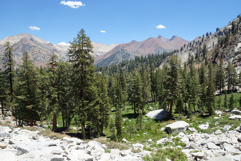
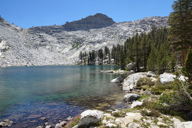
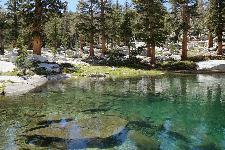
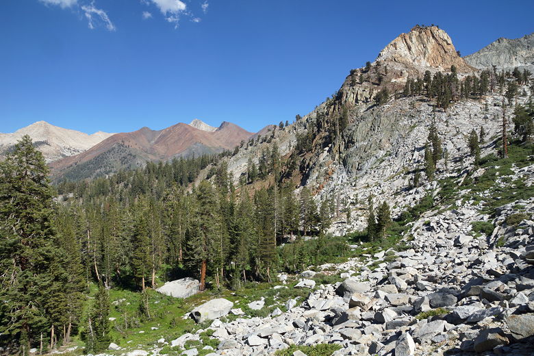
The trail then levels off and enters the forest, crossing Eagle Creek. At the time
I didn't really notice, but there are sink holes here, the creek disappearing
into the ground. I did notice that the water seemed to drop off steeply but I didn't
look closely.
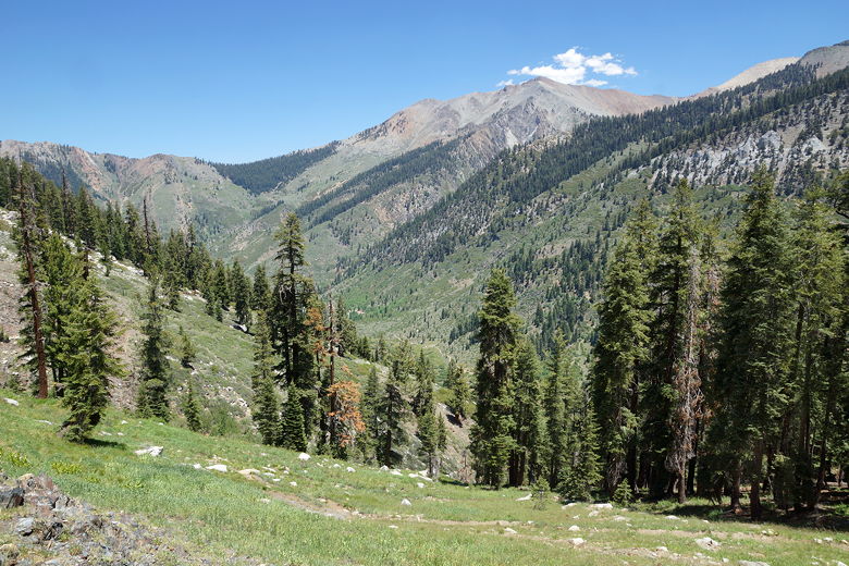
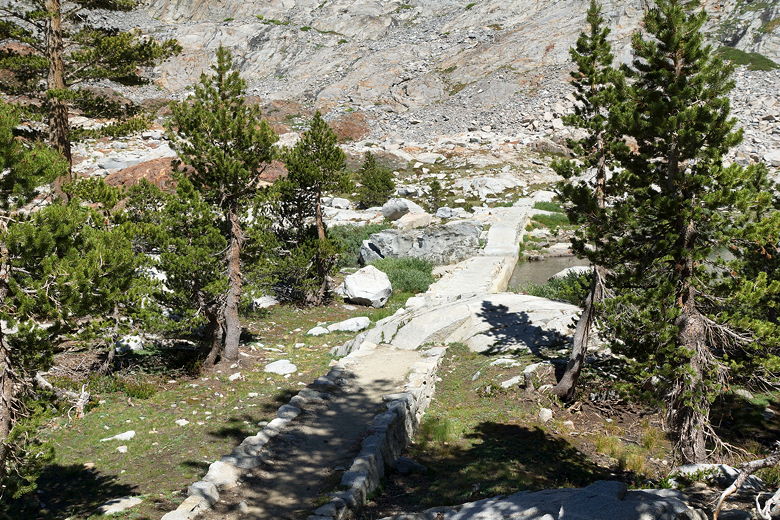
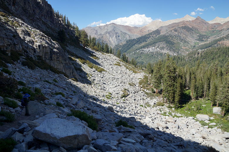
View looking back from the climb
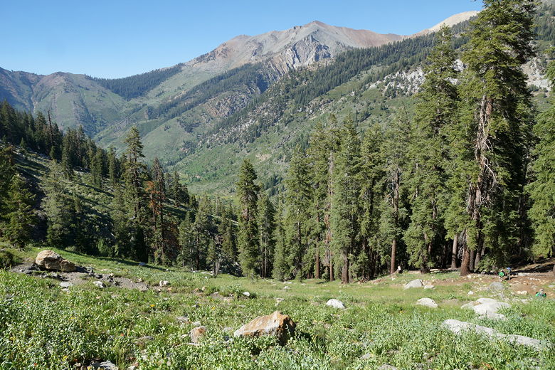
We shortly came to the final trail junction (about a mile past the first junction),
with the fork to the right leading up
to Mosquito Lake. We continued straight (left fork) toward Eagle Lake.
The trail starts to climb again, somewhat steeply. With about three quarters of a
mile to go, we stopped to rest. I thought it would take
us another half hour or so, but an older gentleman who came down the trail said it would
take 60-90 minutes. However, I didn't put too much stock into that estimate as
he seemed to move a bit slowly and he probably underestimated our kids.
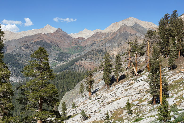
We got up and started the final leg and it does look rather daunting at first -
an exposed
walk through a large talus field, sometimes scrambling over rocks. But it's
actually not that bad. Plus, you get great views of the surrounding area as you
climb. We plodded along, shortly topping the talus field. But our work wasn't
done. There was still a bit of climbing to be done. After about 40 minutes from
our rest stop, we reached Eagle Lake.
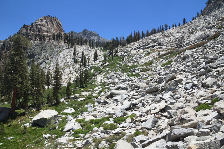
Talus slope below the lake
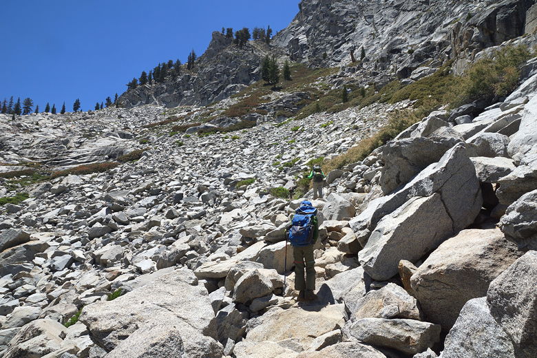
Ascending talus slope toward the lake
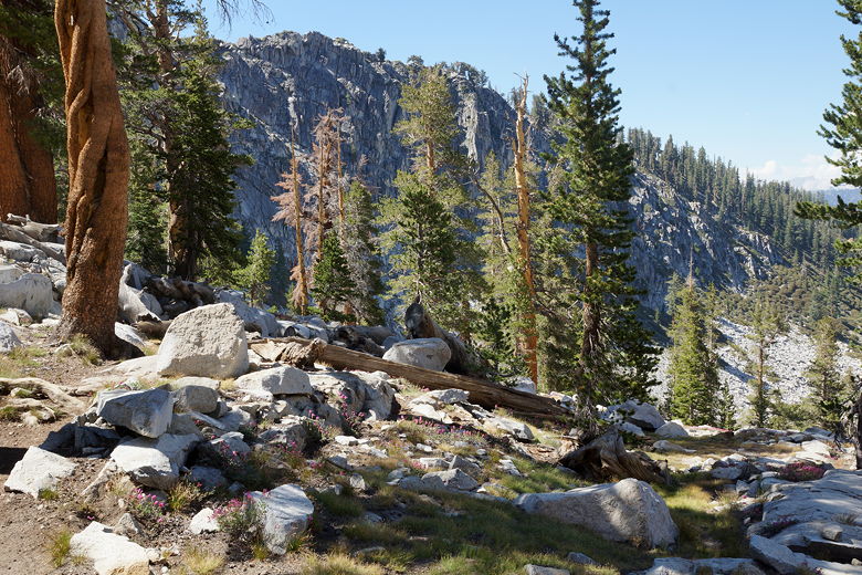
Looking back from the slope
There were two hikers at the dam at the northern end of the lake, two of about
10 people we saw on the hike the entire day. We walked a bit further and stopped
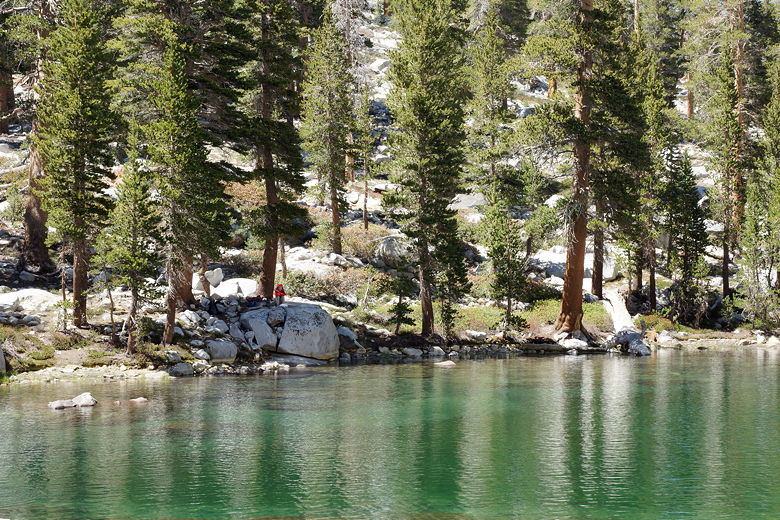
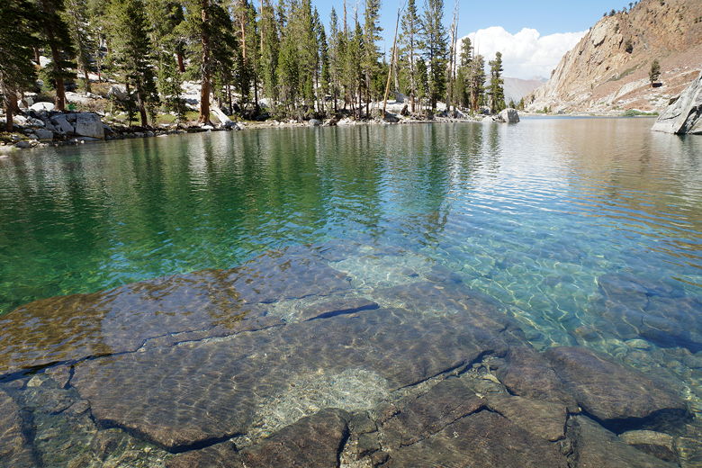
for lunch on the western shore. It's a beautiful lake with easy shore access,
plentiful fish in the lake (we didn't fish, but we saw them clearly), and marmots
running around. A perfect spot to spend two hours on a warm summer day, which is
what we did. One of my favorite parts was being able to walk right into the lake
on some submerged rocks in the southern end of the lake. It was a bit cold at first,
but refreshing.
Southern end of Eagle Lake
Northern end of Eagle Lake
Looking back toward the dam
Eagle Lake
Eagle Lake
Eagle Lake
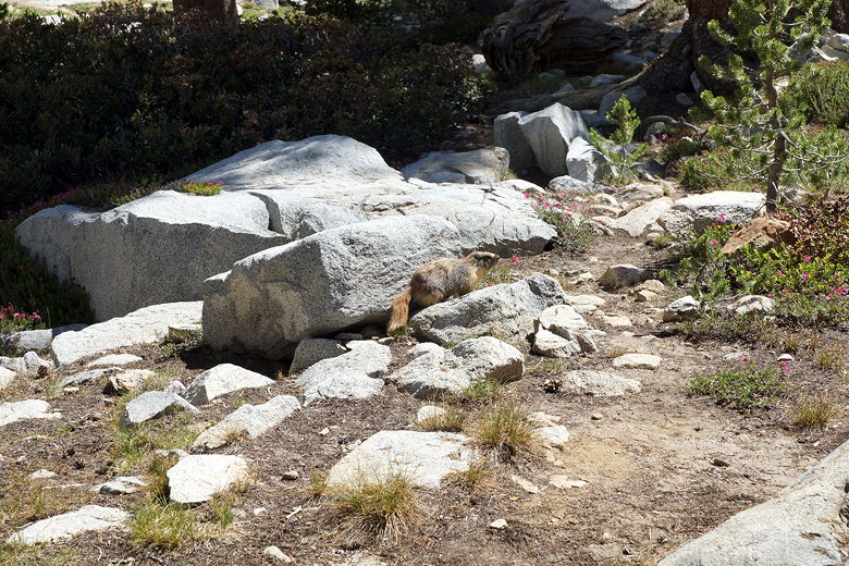
Marmot
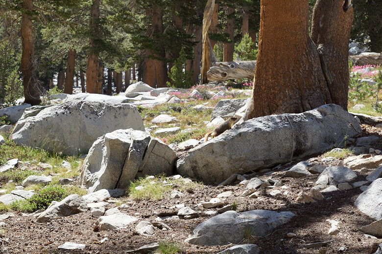
Marmot looking for some shade
Eagle Lake
Eagle Lake dam
After our long break we finally left the lake around 3:30pm, returning the way we
came and reaching the parking lot about 2 hours later. Along the way we spied
some grouse, both on the descent between the two junctions and later as we approached
the parking area. Deer were also visible near the East Fork Kaweah River as we
returned in the late afternoon light.
Descending in the afternoon light
View from the trail
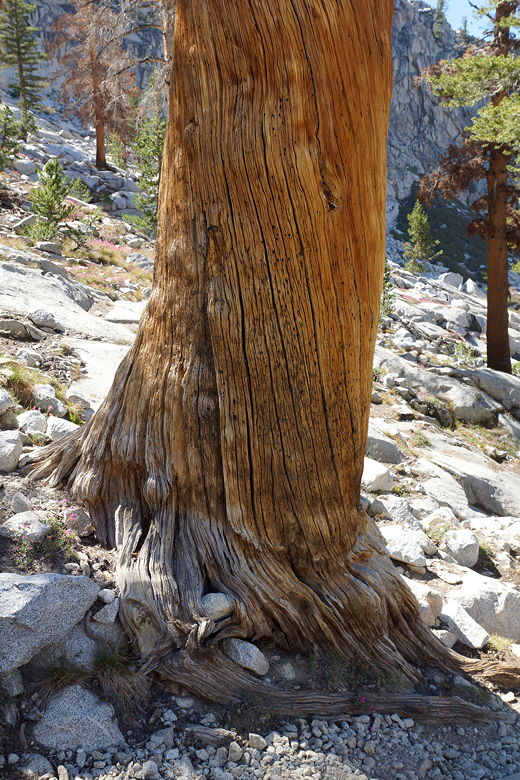
Base of pine tree
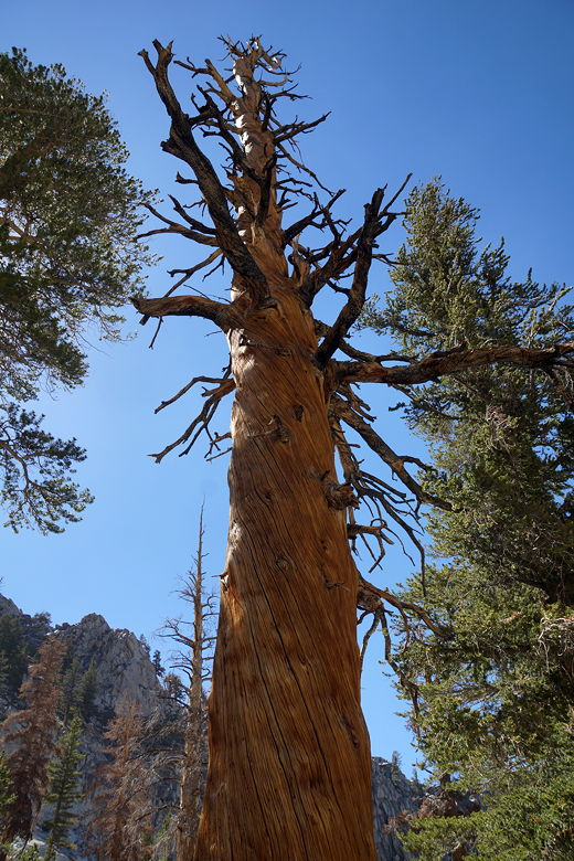
Pine tree
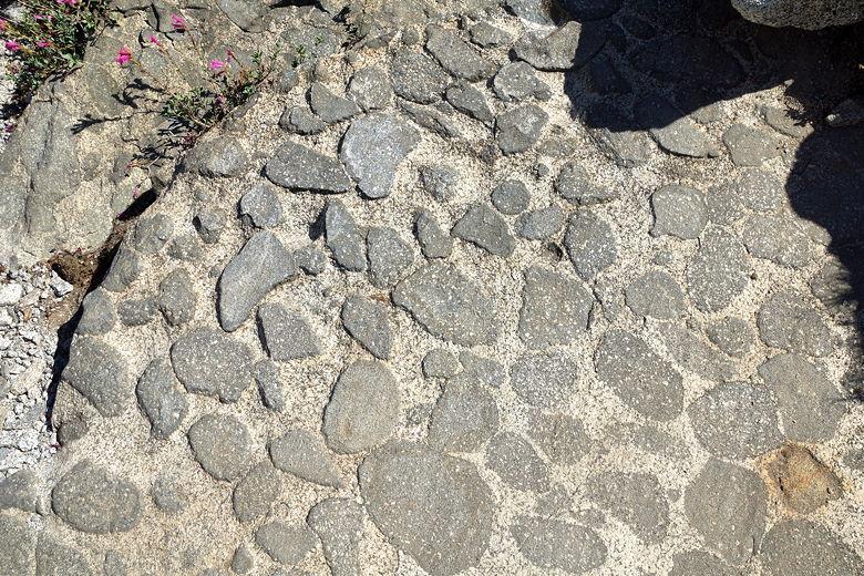
Interesting rock pattern
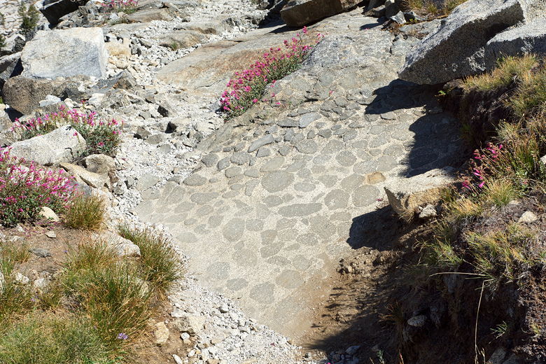
Wider view of the rock pattern
Descending the talus slope
View from the talus
Final descent of the talus slope
Descending more switchbacks
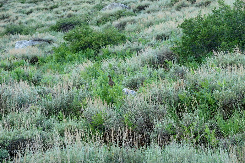
Grouse in the bushes
| 

