|
Sunday morning, we drove north to the Virginia Lakes trailhead, which would be the end of our hike. I'd used Mammoth Taxi last year, had been happy with the results, and was using them again this year. A couple months earlier I had asked about doing a Virginia Lakes / Leavitt Meadows shuttle, and a day later that option was added to the Mammoth Taxi website. I made my reservation shortly thereafter. So we arrived at 10am, made some final adjustments and waited for the taxi to arrive at 10:30am (it arrived about 5 minutes early). While we waited, I took a picture for 3 backpackers headed out to Twin Lakes. They'd be on some of the same trails as we would be, but probably not on the same days.
I was a bit nervous leaving food in the car (mostly leftover bars that we weren't bringing), but there weren't any bear boxes here. The taxi driver also brought up that question, but when she saw there weren't any bear boxes, she said they must not have a problem here. So we tucked the bars away as best we could, then the taxi took us on the 45 minute drive north to Leavitt Meadows.
The taxi driver dropped us off at the trailhead, being helpful enough to point us toward the actual trail (she had been here before and started in the wrong direction, toward the stables). At the trailhead, I picked up one of the wilderness permit books and filled out a free permit for our group (you leave one copy and take the original with you). I had earlier sent in a permit application, but the ranger replied that there weren't any quotas and that I could just self-issue at the trailhead. (This could theoretically change in the future, so be sure to check with the ranger district first to be safe.)
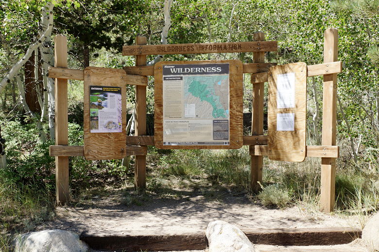
Leavitt Meadows Trailhead sign
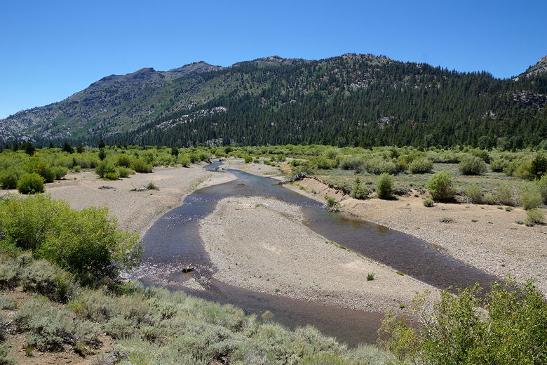
We ate our lunch at the parking area (which overlooks the West Walker River), then started off on the trail at 12:20pm. The trail (elevation 7146) immediately enters the adjacent campground, follows the campground road, then crosses the river on a footbridge. Once on the other side, we followed the trail roughly south as it roughly parallels the river. At one point we inadvertently took a use trail toward the river, but quickly made our way back to the main trail. It's all very open, roughly flat terrain here at the start, so it was easy.
Today was supposed to be an easy day, about 5.3 miles - 1.7 miles to the Secret Lake intersection, another 3.5 to the Hidden Lake intersection, and then 0.1 to Hidden Lake itself. Or at least that's what it looked like from the map I had. I suspect there was a typo on the map because the distance to the Secret Lake intersection (at least according to my GPS) was more like 2.7 miles.
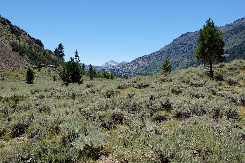
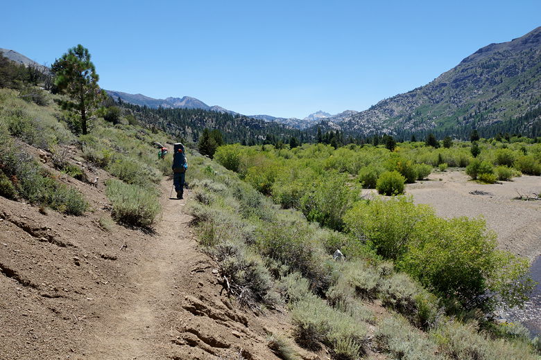
Looking south along the trail
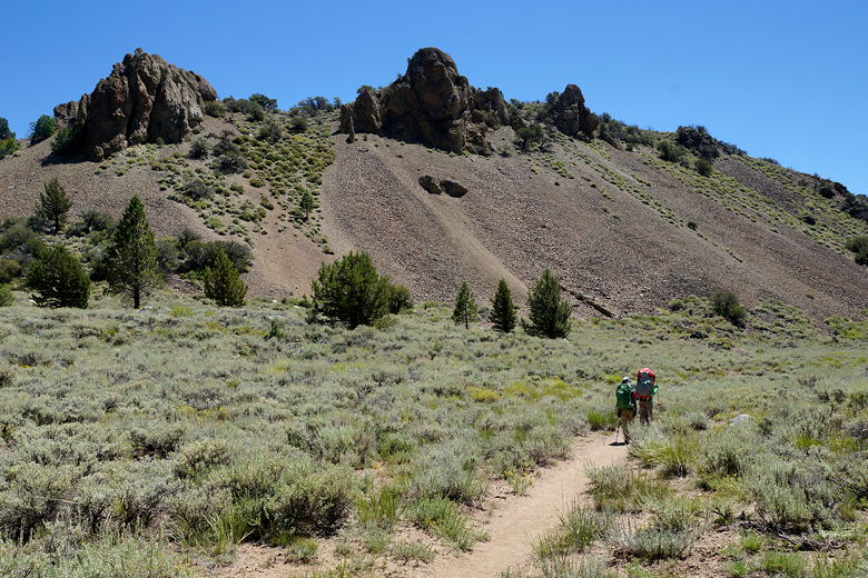
On the trail
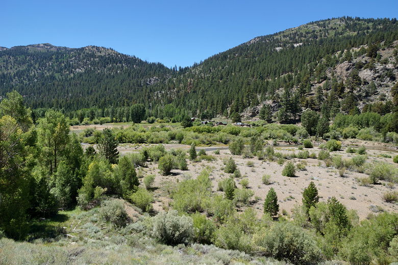
Looking across at the Leavitt Meadows stables
West Walker River
Continuing along the trail
Finally, after more than 3 miles, we reached Roosevelt Lake. There weren't any decent places to stop as the trail hugged the western shore, but we reached Lane Lake right after it. Lane Lake had an inviting array of granite on the northern shore. We reached this just as a group of day hikers was leaving the area, so we took their spot for a snack break.
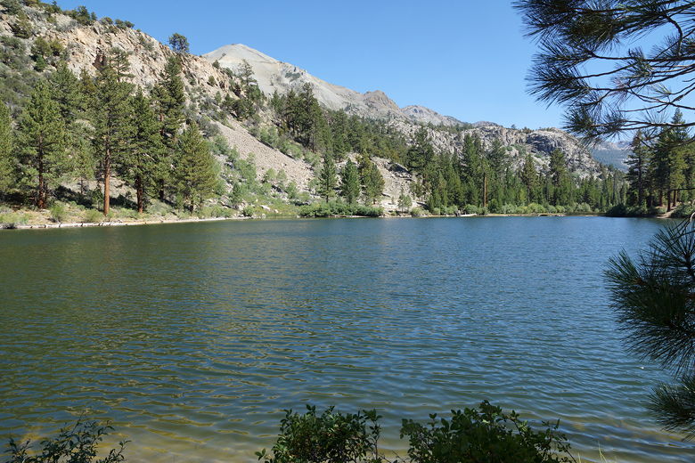
Roosevelt Lake
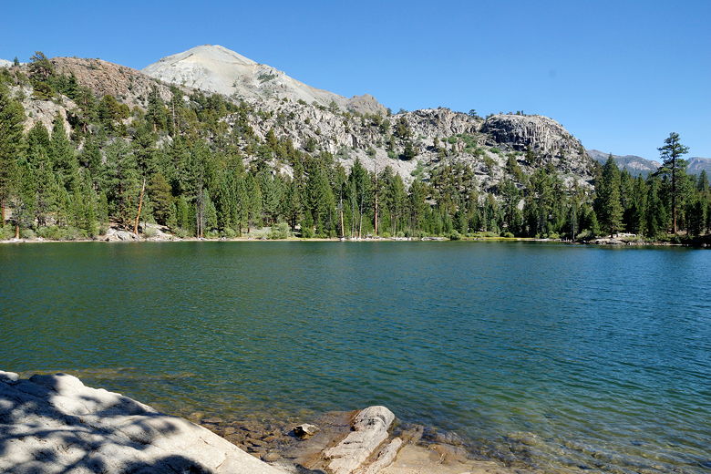
Lane Lake
We saw a few other day hikers today, but quite a few backpackers, as well, all of them headed in the opposite direction (toward the trailhead), which makes sense since this was Sunday. We also saw evidence of pack trains on the trail - something we would see throughout this trip.
At some point between Lane Lake and the Hidden Lake intersection, we lost the trail. The trail was fine until it started turning into caked mud. It was partly dried (caked over on top), with deep footprints, but was still soft underneath. Footprints led in all different directions. They mostly made sense at first, generally heading in the same direction, until they didn't. We spent several minutes wandering around trying to regain the trail, until we veered downhill to the right and rejoined the trail. Having the GPS definitely helped here - it didn't always match the trail (which can be re-routed for various reasons), but it generally gave us a good idea of where we were in relation to the trail. We would find out later that mudslides had caused this trail mess about a month ago. Hopefully it's fixed by the time you try this trail.
Eventually, after about 7 miles, we finally reached the Hidden Lake intersection. We turned right and headed toward the lake. My original idea had been to go to much larger Fremont Lake, but someone on the forums had suggested Hidden Lake, and it was also closer, so I decided to go with it instead. So we rock-hopped across the West Walker River, then climbed up steeply before dropping down to Hidden Lake, which was...hidden.
The trail to Hidden Lake does not appear to be well-used (and it's closer to 0.3 miles instead of 0.1). It passes a campsite near the southeastern side of the lake, then hugs the eastern shoreline for a bit before disappearing into the brush. We didn't see any obvious campsites past here, so we returned to the site we saw further back. We couldn't actually see the lack from this site, since a thick forest of trees blocked our view. The site had a campfire ring, though we couldn't use it because of drought conditions. It was warm, anyway - so warm, in fact, that we decided to sleep with the
rain fly off - something we rarely do. It was fun seeing the stars from our sleeping bags. We also appeared to have the entire lake to ourselves.
|


