Leavitt Meadows to Virginia Lakes |
Day 4 of 8
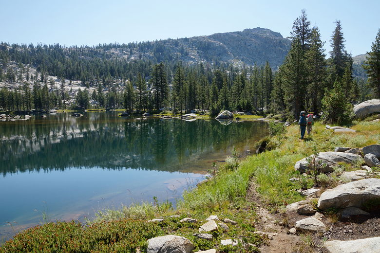
We woke up at 7am, looking forward to a slightly shorter day today. We enjoyed the lake, then left at 10:12am. The trail follows the southern shore, then makes a right turn and leaves the lake. Shortly following are a couple of small lakes/ponds. The trail then begins to descend a bit, about 3 miles down to the next intersection. It starts out relatively flat, and most of the descent is during a steep section approaching the intersection. During this time we didn't see anyone else, which isn't surprising. The trail to Tilden Lake is kind of like a cul-de-sac. The only reason to be on this section of trail is to visit Tilden Lake. It's slightly shorter to take the Wilma Lake route instead.
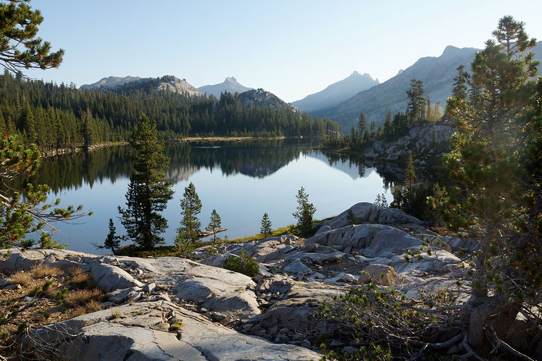
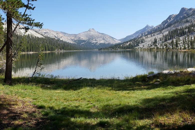
Tilden Lake Tilden Lake Tilden Lake Saurian Crest above Tilden Lake Saurian Crest above Tilden Lake Tilden Lake
Wednesday, August 20th
Tilden Lake to Kerrick Canyon
10.6 miles
1689 vertical feet (ascent)
2568 vertical feet (descent)
8:17
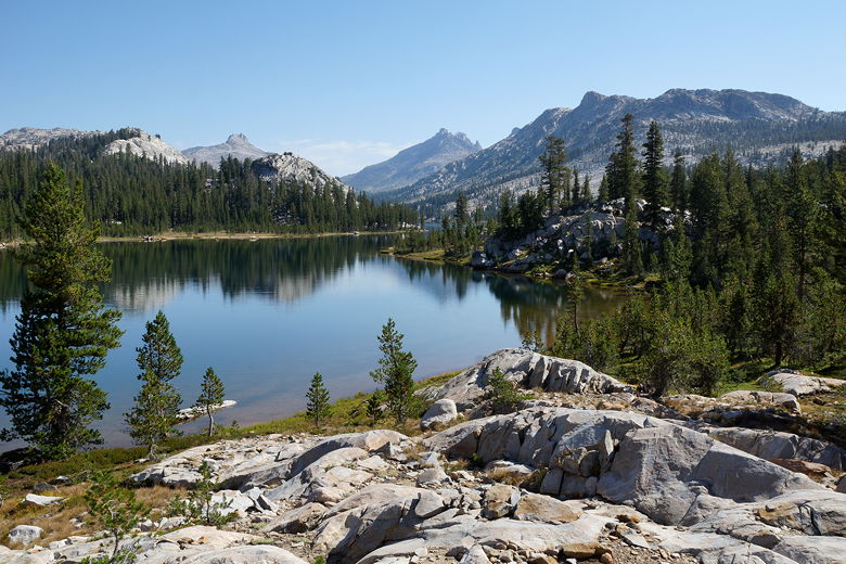
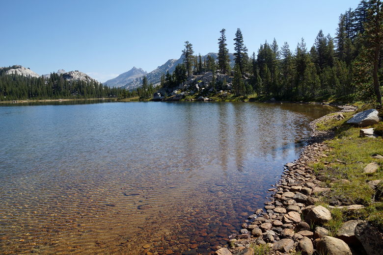
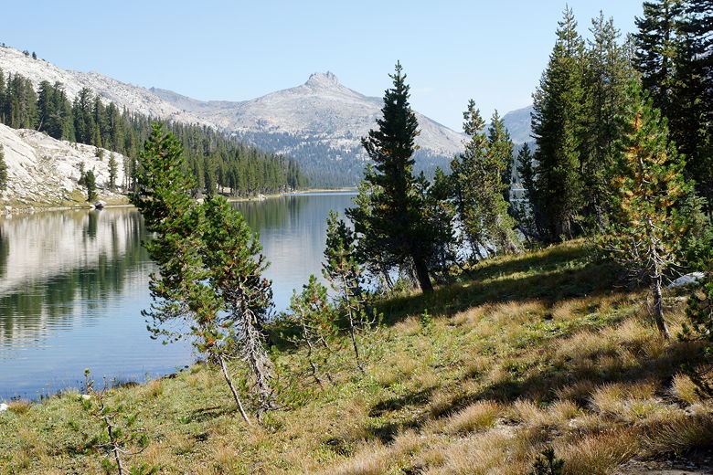
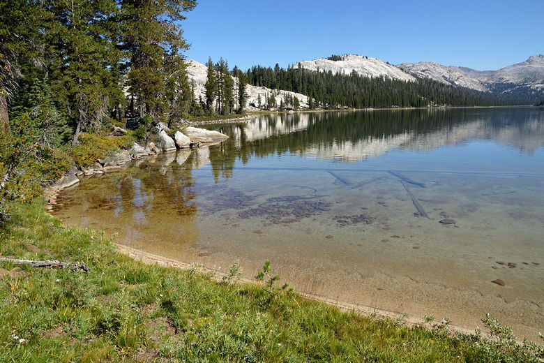
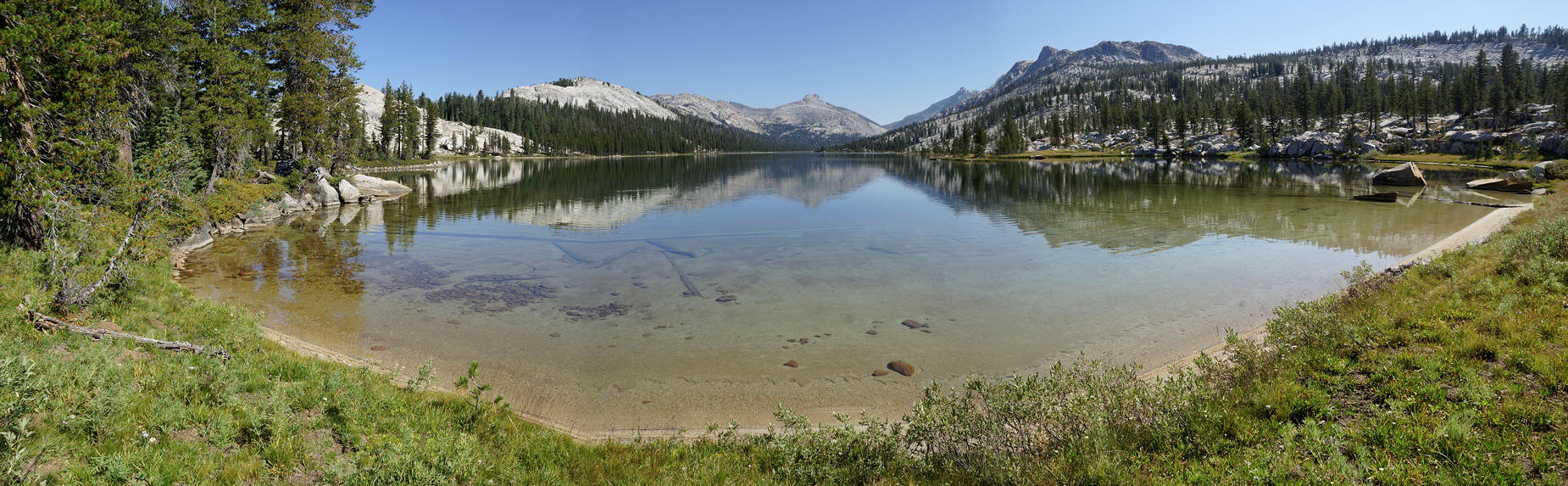
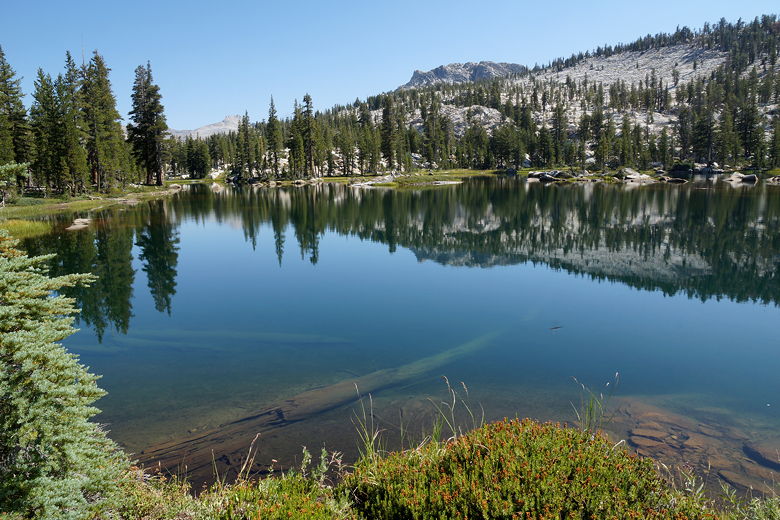
Panoramic of Tilden Lake from the southeast shore Tilden Lake Hiking past unnamed lake south of Tilden Lake Unnamed lake south of Tilden Lake Meadow south of Tilden Lake
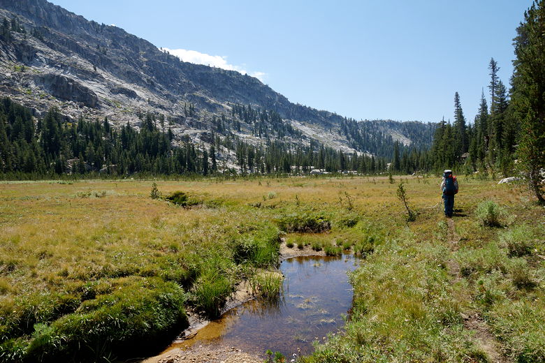
We turned left at the next intersection, toward Benson Lake. We had two possible goals today. One possibility was an unnamed lake at elevation 8896, about a half mile to the east of the trail. Another option was Kerrick Canyon. I didn't know the conditions, so we decided we'd play it by ear, seeing if we could gather any info from folks on the trail.
Trail near the intersection
Another possibility brought up by my sons was to hike all the way to Benson Lake today. That would be make it more than a 16 mile day; they claimed to be up for it, but I overruled them. Maybe they could have made it, but I wouldn't!
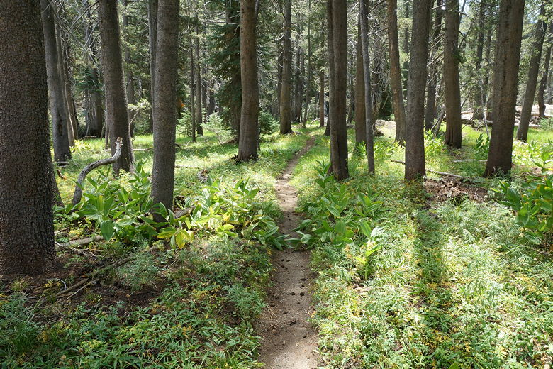
After a break at the next nearby intersection, we started the long 5.7 mile journey to the next intersection. This started out with a short, relatively easy 500 foot climb. Along the way, we met a solo hiker, the first person we'd seen today so far. I asked him if he'd camped at Kerrick Canyon. He said no, but he said that there were plenty of sites. And, he added after a short pause, "Oh, and there's lots of water." Buoyed by that information, I was leaning toward camping at Kerrick Canyon instead of the unnamed lake.
View from near the top of the pass (looking toward Stubblefield Canyon)
We thought we crested the short climb, but it was a false summit; we dipped slightly down, then climbed a little more. But then we started the descent down to Stubblefield Canyon. Along the way, we started watching the sky again. Clouds started to fill the sky, and I felt a drop or two. But after we stopped for a snack break, the clouds started to dissipate. The descent down to Stubblefield Canyon seemed to take forever. Along the way we ran into two more backpackers, one of whom was blaring music out of his pack. Sort of ruined the mood.
Descending into Stubblefield Canyon
We finally reached the bottom, then rock-hopped across the creek. We had to go upstream a bit to find a good water crossing (we could have crossed closer to the trail, but that would have involved using our water shoes, and we didn't want to take the time). I had to use the GPS to figure out where we were in relation to the trail, since we ended up having to cross a creek three different times (although the last crossing was basically dry). Eventually we rejoined the main trail, though, and soon thereafter started climbing again.
By this time, the clouds were almost completely gone, and it was getting warm again. We were faced with a climb of about 900 feet now. On this climb we ran into a pair of backpackers coming in the opposite direction. One of them said something to me that I couldn't decipher (I think they were French). He pointed back where he'd come down from and said "It's odd." Huh? He pointed again and said "It's odd. Good luck." I guess he was saying "It's hard", I just couldn't understand him.
Looking back at Stubblefield Canyon
We passed one more hiker who was coming down. And it was hard. But we made it up (in about an hour), passing the unnamed lake's outlet stream. I didn't look closely for a path up to that unnamed lake, but by this time we had decided to go to Kerrick Canyon instead. Going up to the lake would have involved an off-trail scramble up I'm guessing about 400 feet. Going to Kerrick Canyon would be all downhill, and would shorten the overall hike.
After a short snack break near the top, we started the descent at about 5:17pm. I thought the descent would be longer than it actually was, because my map was mislabeled. The map said the elevation at the bottom (at the trail intersection) was 7640 feet, but in reality I think it's 7940 feet. So we reached the bottom a bit quicker than I thought we would, around 6pm.
Looking into Kerrick Canyon
We crossed the creek at the bottom and I suddenly had a sinking feeling. Wait a minute, there was no water in that creek. It was completely dry. Could that really have been the creek? We looked around and started to panic. That was it. We were here at Kerrick Canyon, with plenty of campsites, but no water to be seen. Many thoughts went through my mind, and the ones related to that solo hiker who'd told us there was plenty of water? I don't think I can write those thoughts here. But what was done was done, and we had a decision to make. Our choices? All bad. One choice was to go back the way we'd just come down, back up to the unnamed lake. But that would involve a tough climb of over 1200 feet. In the other direction, to the south, was the trail to Bear Valley. But the first body of water on that trail was also about 1200 feet up. To the east, along the Kerrick Canyon Trail, there was no guarantee there'd be any water. There looked to be an outlet stream from a lake below Piute Mountain, but that was more than a mile away, and we might have to climb up to the lake itself, and that looked to be a 500 foot climb. At least that was in the direction we'd be headed tomorrow.
After some tortured discussions, we decided we'd head east, hoping we'd find water sooner, but prepared to hike all the way to the lake beneath Piute Mountain. I told our kids to be on the lookout for water, and we started off on the trail. After about 10 minutes, my oldest son stopped and said he heard water. I stopped and listened, but said it was probably just the wind. A few minutes later, though, my sons both started shouting, "Water!" I came over and, sure enough, down to the left was the waters of Rancheria Creek. We were saved. We backed up and found a large camping area probably used by pack trains. There was easy access to the creek from here. I wondered what happened to the water from here. I mean, the water was plentiful here, but somehow it disappeared by the time it got to the intersection. Maybe there's a sinkhole, or the water flowed beneath the rocks undetected.
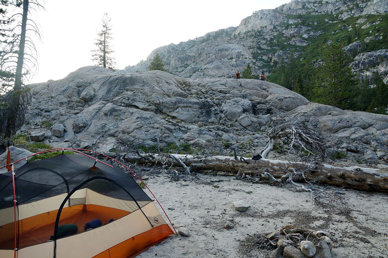
In any case, we were very happy, and it was still only 6:35pm. We set up camp and enjoyed the creek, thankful for the simple miracle of water.
Camp site at Kerrick Canyon
(Click image to view full size)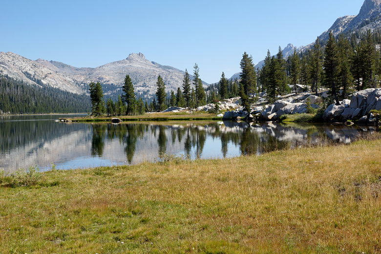
Related Pages:


|

|